Trip Report
Winter Scramble - The Ark (also known as The Rooster)
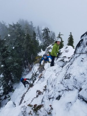
Views would have been quite spectacular had we had a clearer day. Sketchy summit with conditions like this.
- Sat, Dec 8, 2018
- Winter Scramble - The Ark
- Quartz Creek, Blethen Lake & Rooster Mountain
- Scrambling
- Successful
-

- Road suitable for all vehicles
-
Basically paved road all the way to the Taylor River Trailhead. Privy was closed for the season. NW Forest Pass required for parking.
I was lucky to have such a strong and experienced group as the conditions weren't the best. We used Sergey Lazutin's Peakbagger's track and followed it for the most part.
Most decided to leave snowshoes behind due to the lack of snow and our large number of participants. We all brought Microspikes and 1 brought crampons.
We made good time from the trailhead to where we were to leave the Quartz Creek Trail and start the switchbacks up the abandoned road. We hit snow at about 3200'.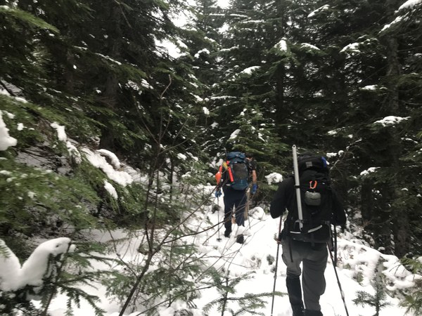
We followed the road almost to its end at 3900' where we reconnected with Sergey's track again. A boulderfield covered in a thin layer of snow soon came into view. Thankfully it was not icy.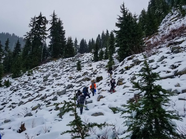 We carefully maneuvered through this aiming for the ridge heading north that would take us almost to the summit. The first part of the narrow ridge turned out to be somewhat sketchy. Thankfully it soon got wider and easier, but we still hoped to avoid it on the return.
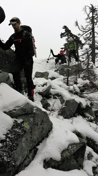
We encountered some deeper snow (6-8") as we got higher, but it didn't last long and with so many strong participants, we didn't have any problem getting past it.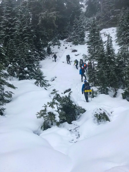
Once at 5200' and at the end of the ridge we were traveling on, we headed northeast for the short traverse to the summit.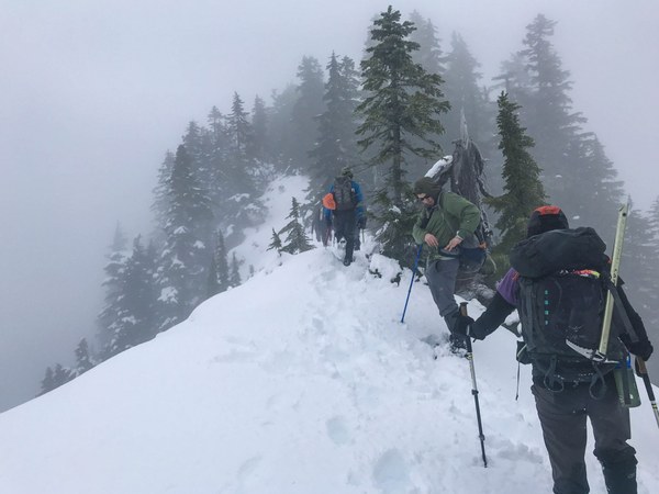
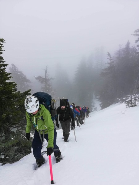 Soon we were at the base of the summit. I was advised it could be sketchy and it was. Westy Ford scrambled up with the rope and anchored it to a boulder and the rest of us used it when needed for the ascent and descent.
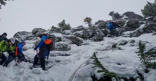

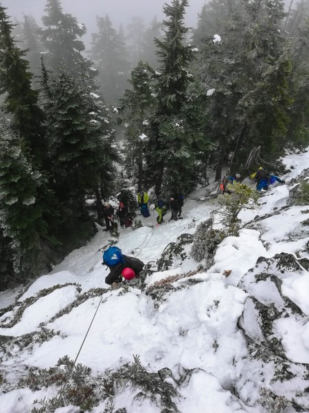 Actual summit. The first ones arrived at about 12:30pm. Too bad we didn't have any views, but the whole day's weather was still better than expected.
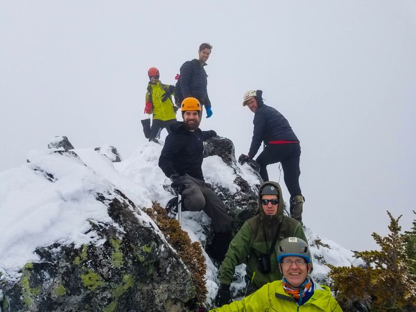 We descended about a 100' to have lunch and where we took our group photo. Thanks to Westy for taking it and also for bringing delicious strawberries and even fired up the stove to make hot chocolate for many.
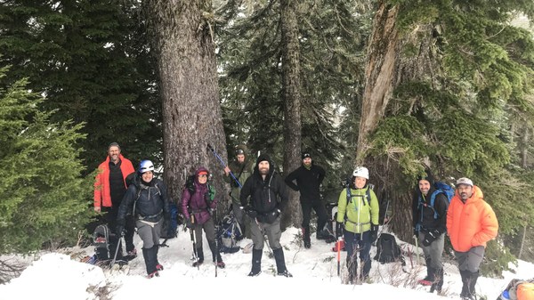 As we continued to retrace our steps, the clouds lifted and we got some beautiful views.
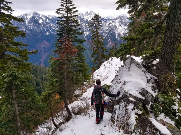
We tried to avoid the sketchier part of the ridge and the boulderfield by leaving the ridge earlier and dropping down more westwardly at about 4600'. 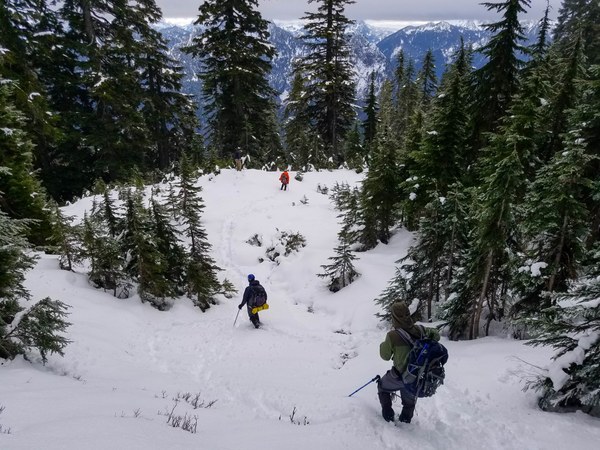 Unfortunately we still encountered a couple smaller boulderfields, but we at least avoided the sketchy section of the ridge.
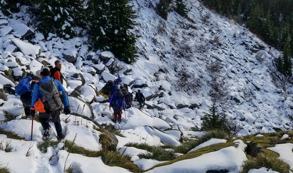 Once past these boulderfields, we reconnected with the abandoned road for the 5+ miles back to the trailhead. Many of us stopped for a nice dinner at a Thai restaurant in North Bend after. Think everyone had a wonderful time.
Thanks to Westy Ford, Ian Cox and Turner Bluechel for many of the photos.
Stats:
13.5 miles/4200' gain
Start: 7:40am
Summit: 12:30pm
Return: 5:15pm
 Susan Shih