
Trip Report
Winter Scramble - Ruby Mountain (winter)
The winter route, via Happy Creek. Views are amazing on a clear day!
- Sat, Apr 17, 2021
- Winter Scramble - Ruby Mountain
- Ruby Mountain
- Scrambling
- Successful
-

- Road suitable for all vehicles
-
We parked at the Ross Dam Trail TH where there is a large pullout and toilet. Hwy 20 is gated there until it reopens.
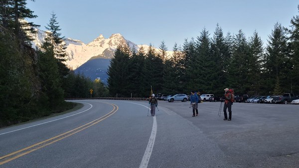
A few spent the night at the Ross Dam Trail TH, but most arrived the morning of. It was a beautiful morning when we departed the parking area around 7am. We were taking the winter route that largely follows Happy Creek.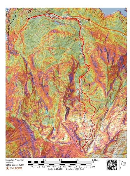 We soon ducked into the woods onto the Happy Creek Nature Trail and took it for about 1.5 miles until we reached the waterfall. Continuing south, we hit snow around 2800' and followed footprints in the fairly firm snow. There had been multiple groups on this route the last few days and a few already ahead of us so it was easy following their tracks.
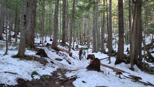 I'm not sure at what elevation we broke out of the trees, but our summit was visible soon after. We could easily see the weather station tower straight ahead. Most already had snowshoes on by now although 1 reluctant person waited till now.
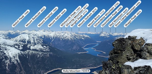
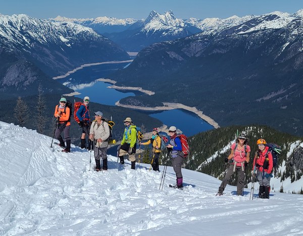
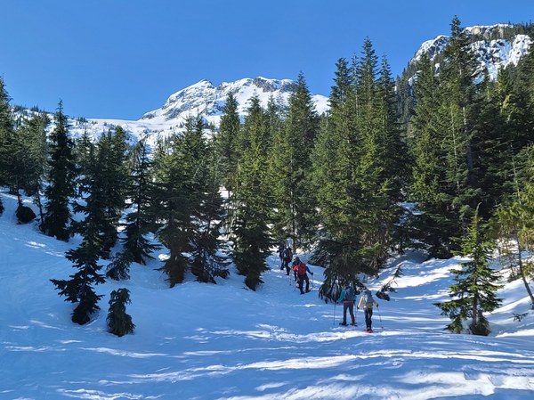 And the views continue on from there. Looking back at Ross Lake, the dual Hozemean peaks, Desolation Peak and many more.
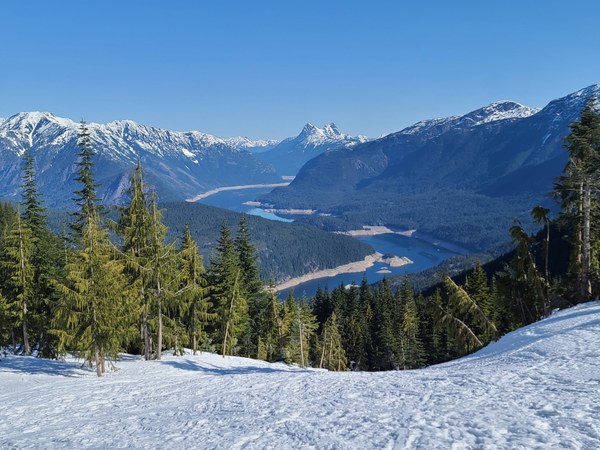 Following snowshoe footsteps of several people ahead made our work pretty easy.
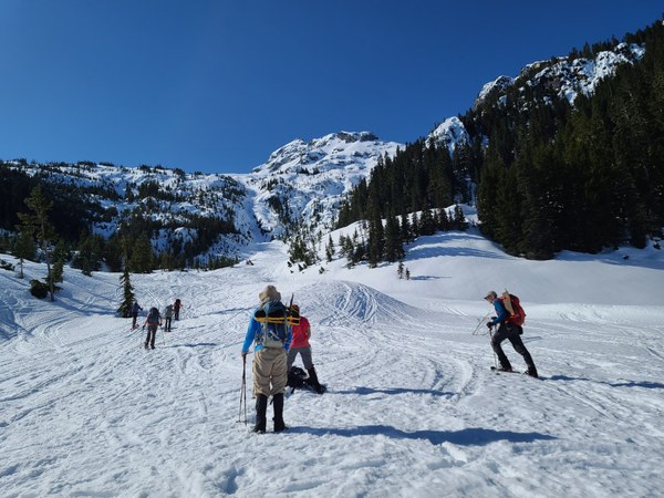 NWAC danger was considerable so we kept a close lookout for avy danger, but this route is actually fairly safe and we were surprised not to see more warnings.
 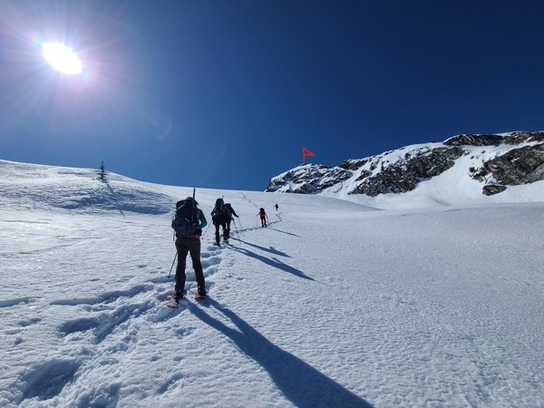 Jack and Crater Mountain views.
 Such an amazing clear day!
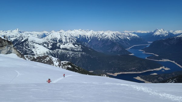 On the final ridge to the summit.
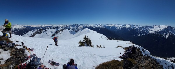
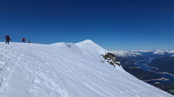 On the summit and looking SE at the people approaching or departing the ridge. Ragged Ridge with its 4 peaks consisting of Mesachie, Kimtah, Katsuk and Cosho are straight ahead.
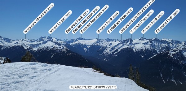
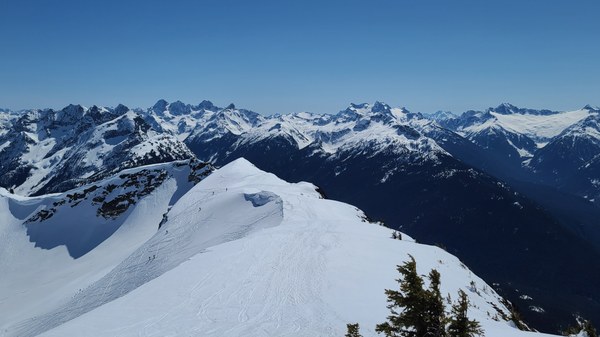 So many peaks! Glad for my Peakfinder app.
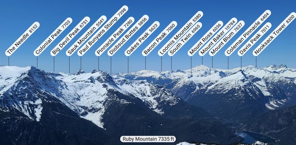
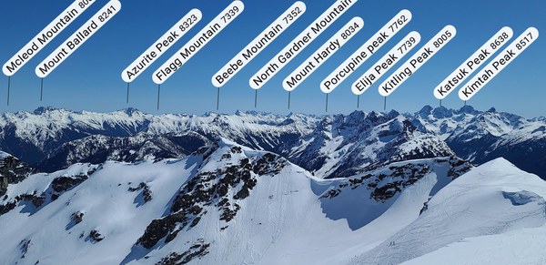
 Ready to depart after spending a leisurely hour on the summit.
 Some kept their snowshoes on, some did not. With the snow warming up even more, Dave B led us down a slightly safer route that was east of our ascent route. Couldn't have asked for a better weather day!
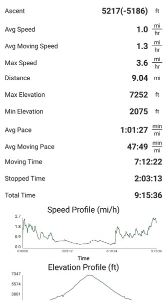
 My GAIA reading.
 Susan Shih