Trip Report
Winter Scramble - Paul Peak & Elizabeth Ridge
Just a taste of Winter. Snowshoes not required.
- Sat, Dec 8, 2018
- Winter Scramble - Paul Peak & Elizabeth Ridge
- Paul Peak
- Scrambling
- Successful
-

- Road suitable for all vehicles
-
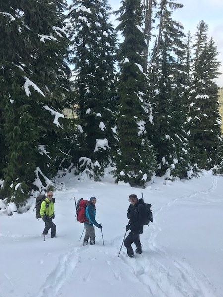
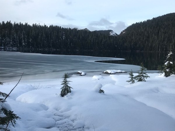
Minimal snow on Paul Peak. About a foot on Elizabeth Ridge and at Mowich Lake. That will change this week.
We made a successful loop just before significant snowfall was likely to make driving to the gate at the trailhead impossible.
Quick trip to Paul Peak summit in 2 hours. Note the USGS map is inaccurate, and the trail traverses at about 3480' after crossing Meadow Creek, so is 500' lower than shown on USGS map when leaving the trail.
Slower going from Paul Peak summit to the 4400' saddle below Elizabeth Ridge due to blowdown. One spot on narrow ridge descending from Paul Peak to 1st bump on ridge which we passed on left was slippery with first snow requiring caution. Slopes up to Elizabeth Ridge are moderately steep. Most of us used microspikes. Ice axes could be helpful here with more snow, but neither the axes nor the snowshoes left our packs this day. Just under 3 hours from Paul to Elizabeth.
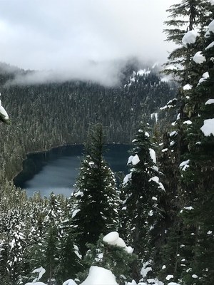
We took northeast ridge down to the road which went well, then backtracked to end of road for views of Mowich Lake, only starting to freeze over.


Completed the loop utilizing Grindstone Trail to reduce distance and improve aesthetics.
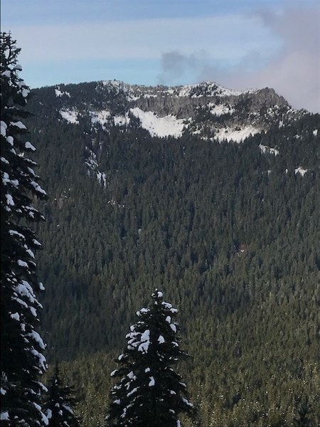
Although this is mostly a walk in the forest, there are views towards upper Mowich River descending east from Paul Peak. Some views of Mowich Lake from Elizabeth Ridge summit, and views to Tolmie lookout shortly below it descending to road.

The only Rainier views are of Liberty Cap from near the end of the road.
I would rate this S3, and T2 or T3 depending on conditions. Good opportunity for navigation practice.
If anyone replicates this trip and finds the lower section of a Black Diamond metal trekking pole on the narrow ridge section descending east from Paul Peak, notify me so it can be reunited with its owner.
 David Judish