Trip Report
Winter Scramble - Crater Lake and Blowdown Mountains
A safe choice for a high avalanche danger day and enough elevation to find some falling snow.
- Sat, Apr 14, 2018
- Winter Scramble - Mount Si Main Trail
- Mount Si Main Trail
- Scrambling
- Successful
-

- Road suitable for all vehicles
-
We did not need traction devices, but we did use snowshoes on the route to Blowdown and Crater Lake Mountain, starting at about 3800 feet on the Teneriffe/Si Ridge. There is light snow on the ridge between Blowdown and Crater Lake Mountain; it was warm enough that snowshoes were sufficient, but if the temperature drops again, this ridge could become an icy traverse.
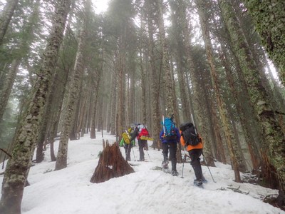
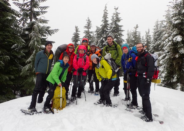
Our trip began early so that a few could have time to shower and change into their best non-mountaineering outfits in time for the Mountaineers Gala in the evening. We left the New Si Trailhead at 7:10, carrying snowshoes, helmets, ice axes, and two rounds of summit treats. We turned east after .7 miles towards Teneriffe on the Spring Trail. (I am not 100% sure of the name as it is a newer trail and not on most maps. It can be seen on this map below the Talus Loop Trail and above the Roaring Creek trail. https://www.dnr.wa.gov/geo/mountsi.pdf) We then ascended on the Mount Teneriffe Trail, donned snowshoes at about 3700 feet and, breaking trail in less than a foot of snow, scrambled to Blowdown, arriving at 10:30. On our first summit we enjoyed fresh snow, fluffy snowflakes, and respite from the rain.
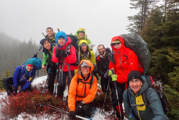
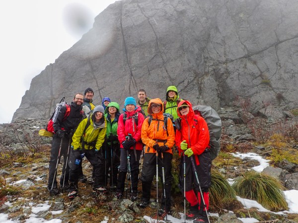
From there, we continued north to Crater Lake Mountain. We got off track for a few minutes, but the group worked well together to find the proper ridge. The ridge run to Crater was enjoyable with enough soft snow to cushion the descent and plentiful vedgie belays. We caught a few glimpses of Dixie when the clouds cleared and peered down down down into Crater Lake. We arrived at Crater at 11:20. 
We retraced our steps to the Teneriffe/Si ridge, enjoyed another round of summit treats out of the wind--cookies this time. Continuing in snowshoes, we broke trail to our third summit of the day, Si, and then headed down to the parking lot via the New Si trail, visiting with various Mountaineer friends and acquaintances on the way down. Most of the group removed snowshoes when we first caught sight of the Haystack. 
Traction devices were not needed on the descent. We arrived back at the parking lot at 2:35. We did not use our helmets or ice axes. The day was about 13 miles, over 5000 feet in elevation gain, and 100% wet! The company was excellent.
All photos by Tim Nair
 Danielle Graham