Trip Report
Winter Scramble - Big Snow Mountain
Good timing made for an incredible weekend scramble.
- Sat, Mar 31, 2018 — Sun, Apr 1, 2018
- Winter Scramble - Big Snow Mountain
- Big Snow Mountain
- Scrambling
- Successful
-

- Road rough but passable
-
We found hard-packed snow by Pumpkinseed Creek Falls. Beyond that, there's enough snow to make almost all 20+ creek crossings on the way to Myrtle Lake benign. I wouldn't expect that to be true much longer. Snow above 5500ft was stiff, icy in places near the summit block.
This trip took place after four days with very little precipitation. The avalanche forecast called for loose wet being possible. It was a moderate rating trending to low for Sunday. Given that most of this route above Myrtle Lake is in avalanche terrain, good timing and weather made this outing possible.
All accounts of the five mile portion of Dingford Road being near impassable are inaccurate. I'd call it average. It was a one hour drive from Bellevue to the trailhead. Our party of four hiked up the Dingford Creek Trail, putting on snowshoes around 2500ft. Someone had post-holed almost to the Goat Creek area, beyond that, we were on our own for finding the trail which proved fairly intuitive, keeping in mind the trail goes up-valley, not uphill.
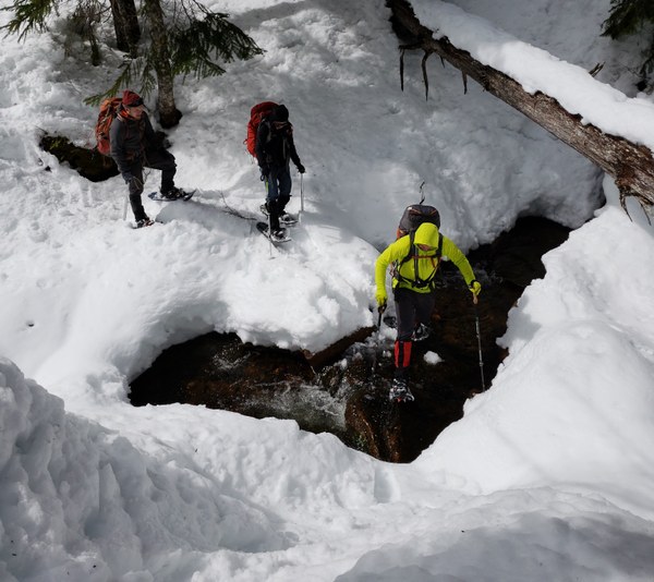
There are many braided streams to cross at all the places you would expect: Pumpkinseed, Goat Creek, and the most difficult area looked to be the streams draining Nimue Lake. We had enough snow to have snow bridges in most open areas, and enough to make snowshoe steps down into the streams and back up the other side when there was not a snow bridge. After gaining 1,000ft in the first mile, the route to Myrtle Lake is gentle and travels through a wonderful, old forest.
We took an hour to make camp at Myrtle Lake and test our avalanche beacons before heading up. The gully leading to Big Snow Lake is an obvious route. Very steep, a skinnier version of Ellinor's gully, with loose-wet debris from previous days. It was icy for us and we made haste moving through it.
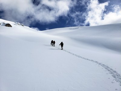
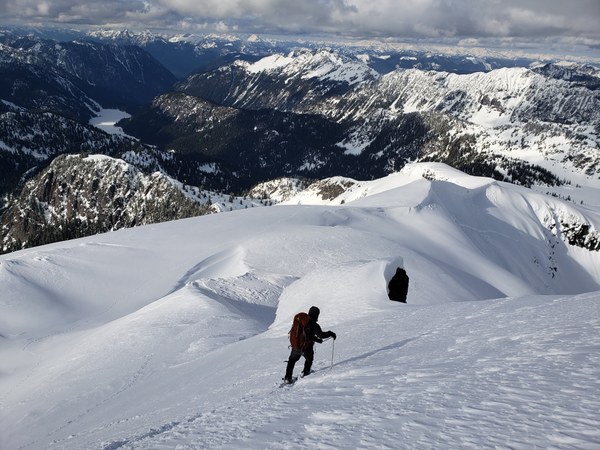
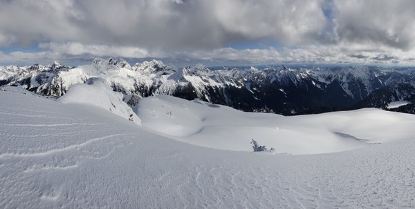
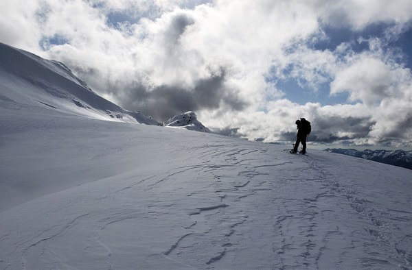
Once at Big Snow Lake, a few different routes can be made out. Rather than take the longer, gentler, summer route below cliffs and cornices, we ascended the steep ridge separating Big Snow Lake and Snowflake Lake. It's a beautiful line with nothing threatening above. The snow was stiff and our snowshoes barely sank. We could have kicked steps or used crampons, but the snowshoes made easy work of this last 1500ft. The summit block approaches 45 degrees for 50ft or so and had significant rime in places. Crampons would have been a better choice.
After 30 minutes gawking at views from the summit, we descended toward camp, glissading the 1000ft gully beneath Big Snow Lake. We pumped water at Dingford Creek and made dinner in our snow kitchen. It remained clear. Even at 1am the moon was bright on our tents. We woke to moderate snowfall which was with us to the trailhead. We encountered only one hiker all weekend, near the trailhead on Sunday.
This group has scrambled together in the past and works well together. Splitting tasks in camp, navigating, being mindful of hazards, making each other laugh. It was a joy to share such a spectacular trip with these three. Not a single person I didn't know inquired about joining this trip, what a shame. This route should be sought after by anyone in late winter/early spring who enjoys a steep snow ascent with a real alpine feel.
Our GPS track can be found here. 13.7 miles round trip. 5300ft elevation gain. Section times including breaks: TH to Myrtle Lake (camp) 4h20m; camp to Big Snow Lake 1h20m; Big Snow Lake to summit 2h; summit to camp 2h; camp to TH 3h30m.
 Brian Hill