Trip Report
Winter Scramble - Bandera Mountain (West Peak)
Christmas Eve scramble on a beautiful clear day. Gaining the ridge right off the old trail without dropping to the lake was challenging due to not enough snow. Trip rating 4 due to the post-holing nightmare on the ridge.
- Tue, Dec 24, 2019
- Winter Scramble - Bandera Mountain (West Peak)
- Ira Spring & Putrid Pete's Peak Trails
- Scrambling
- Successful
-

- Road suitable for all vehicles
-
Road to Ira Spring TH is closed.
Microspikes recommended for upper parts of the trail.
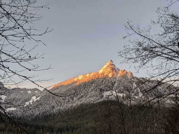
Since the road to Ira Spring TH is closed we drove back to exit 42 for the alternate start and left the cars around 8:10 Hrs. Stunning view of McClellan Butte from the parking.
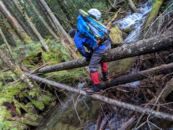
Right off the bat we came across a fork. Since we knew we had to follow the stream to intersect the Mason lake road, we turned right staying east of the stream. This was a mistake :). It led us to a target shooting zone and blocked us out. We backtracked a little and could see a nice bootpath west of the stream. Instead of going back to the fork, scramblers as we are, we decided to butt-scoot across a fallen tree to get to the trail.
There is an established easy-to-follow bootpath West of the stream which we took until we met the road at 2150'. One could either continue along the road to the official TH or take a climber's trail ( with plenty of blue flaggings) and meet the Ira Spring Trail at 2480'. We did the latter. After ~0.5 miles of the trail (right after the wooden bridge) we took left to stick to the old trail and continued until another fork ~2840'. Either way leads to the Lake, the left being more scenic and right more direct. We took the more direct route as we wanted to hit the ridge as soon as we could. The old trail is in great shape. At ~3600' we decided to cross an innocent looking talus field and shoot for the ridge.
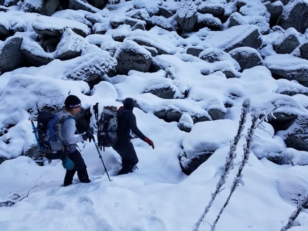
This talus crossing gave us a flavor of what it'd be like if the entire ridge was boulder-y and we were hoping that was not the case. It was easy to gain the ridge but once on the ridge a post-holing nightmare greeted us with open arms :)
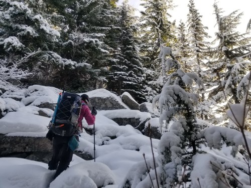
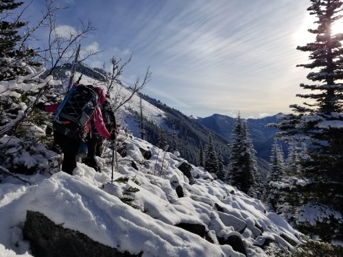
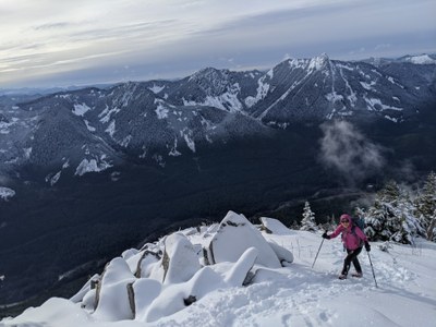
We did however manage to find consolation in some breathtaking views we had along the ridge.
We gained the ridge ~3800' around 10:10 Hrs and it took us ~2.5 hours to hit the Mason lake trail ~ 4300' (including a short lunch break). That's right >2 hrs for 500' gain :). Original plan was to continue on the ridge and hit the trail at ~4600' but given how much time we had lost (thanks to the snow covered voids) we decided to switch to trail mode here instead which goes all the way to West Bandera.
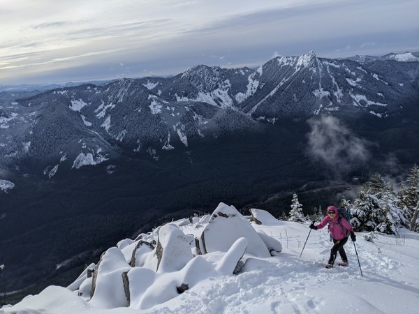
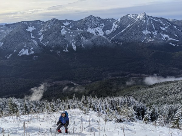
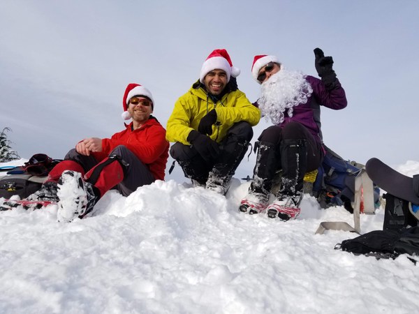
We reached the West Bandera summit at 13:38 hrs and dropped down 50' for a break with better views than the summit. Jason carried summit treats for all of us which came in the form of Santa hats :)
Took the new trail (which felt like we were caught in a time loop ) all the way back to past the wooden bridge and then backtracked our ascent path but this time we found the right way to cross the stream where you just walk across a huge log.
Back to the cars around 16:15 Hrs.
Another beautiful day in the mountains with great company.
Photo Credits - Atsuko Yamaguchi and Jason Griffith
Gaia tracks (seem little 'jumpy' in the woods so wouldn't read much into the stats) - https://www.gaiagps.com/public/eW8ealkx06wQx01pjM6DuvI9
 Amrit Panda