Trip Report
Upper Lena Lake
Prior to any significant snowfall of winter season. 10.5 hours RT from trailhead to Upper Lena Lake. Counted at least ten fallen trees across trail after Lower Lena Lake that required going over or under. Last 1.4 miles has multiple steep sections and two creek crossings.
- Mon, Nov 19, 2018
- Lena Lake
- Day Hiking
- Successful
-

- Road suitable for all vehicles
-
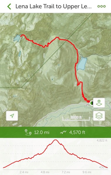
Different sources cite varying distance from Hama Hama Road Lena Lake trailhead: WTA = 14 miles RT; AllTrails = 12 miles RT; NPS.gov = 7.3 miles one way; ProTrails = 6.55 miles one way. Same with elevation gain: AllTrails = start-end 430 ft to 4,822 ft with 4,570 ft gain; WTA = 3,900 ft gain; NPS.gov = 700 ft to 4,550. Regardless, easy hike from trailhead to Lower Lena Lake, but from there hike becomes moderate with multiple fallen trees across trail one needs to scramble over or under. Last 1.5 miles of hike becomes quite steep in some sections where one needs to scramble up roots or rocks. There are two creek crossings of note: one well established over fallen tree with steps notched in; second is over rocky / icy section where one needs to step carefully.

Solo trip. Started at 8AM and made it to Upper Lena Lake by 1:30PM. Turned around at 2PM and was back at car at 6.30PM. Sundown at 4:30PM so walked easy lower section of trail from Lower Lena Lake in dark with headlamp. Only came across two other hikers whole day.
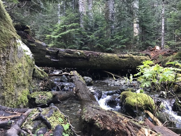
First creek crossing over Lena Creek tributary marks beginning of last 1.4 miles...
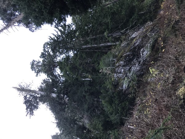
Trail routes through this steep section after traversing an overgrown avalanche chute...

Beautiful view of Mount Bretherton located 1 mile south of Upper Lena Lake...
 Michael "Ze'ev" Frankfurter
