
Trip Report
Tatoosh Ski Traverse
Icy snow conditions but an experienced group and beautiful weather made this a challenging but successful exploratory backcountry ski trip.
- Sat, Feb 12, 2022 — Sun, Feb 13, 2022
- Tatoosh Range Traverse
- Backcountry Skiing
- Successful
-

- Road suitable for all vehicles
-
Icy snow conditions due to lack of snow for around 7 weeks. Corn skiing in South/West facing slopes and icy conditions on slopes that received all day shade. The snow through the forest descending from Eagle Ridge to Longmire was particularly bad, and disappeared quickly on the summer trail switchbacks.
We were looking for an overnight traverse to help train for some larger spring objectives and saw the Tatoosh Traverse as a fantastic gateway tour. According to the backcountry skiing Bible, Backcountry Ski and Snowboard routes of Washington by Martin Volken, the Tatoosh Traverse is described as a “fantastic tour for your first backcountry overnight” (262). Given the fact that Liberty Ridge is listed in the book as a ski tour, we should have known better. Although icy snow conditions were really the key ingredient that upped this route’s difficulty, the route still required a significant amount of navigation skills, booting up steep slopes and skinning through variable terrain, all while carrying an overnight pack. The route should not be underestimated based on its statistics of 6,080 ft gain/7900 loss and 13.2 miles total.
Fortunately, with a seasoned team consisting of Eileen Kutscha, Steve McCarthy, Meredith Mosman, Anne Brink and myself, we were able to complete the traverse, enjoy some turns on spring like corn, and have fun. The full traverse was new to all of us, and we had limited beta on the ski route, so it proved an exploratory trip, requiring many route finding huddles.
We started at the Narada Falls parking lot just after 10:00am on Saturday morning. Rather than follow the crowds up the boot back to Stevens Canyon Road, we opted to skin up the Narada Falls Trail to Inspiration Saddle and then kept our skins on to ski down to Reflection Lakes. This proved to be a slightly longer but more interesting route with fairly easy skinning. From Reflection Lakes we followed Stevens Canyon Road until about 4500 feet where it begin to descend, and then left the road to skin uphill to reach The Bench. From The Bench, we followed Unicorn Creek up. Icy snow conditions caused us to carry our skis and use crampons to climb into the Unicorn Creek basin. We boot packed up the ridge west of Unicorn Peak, and then sought a good spot to drop down into the basin below Castle and Pinnacle Peak. The book describes this as a potential 2,000 ft drop but we were reluctant to lose all that elevation. We dropped around 1,500 feet and enjoyed the first soft turns of the tour.
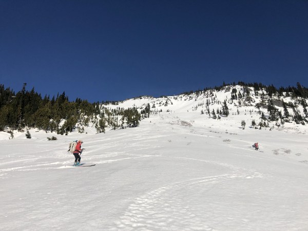
The crux of Day 1 came in skinning out of the basin through dense trees and up to the ridge between Pinnacle and Pummer Peaks. Two members of the party ascended more directly up, got cliffed out and had to descend. Our party was separated for around an hour, during which time we regretted our choice to leave the radios in the car. It was challenging to find a “good” route, and we settled for awkward steep skinning through bad snow up and over trees to gain the ridge. By the time we reached the ridge, the sun was setting and a few of us donned ski crampons for the final traverse west to set up camp on the Pinnacle-Plummer saddle. It took us 7hrs 15 minutes to reach here, slightly under the Volken estimation of 7.5 hrs.
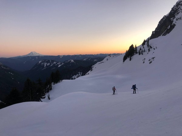
On Day 2, we left camp at 8:20am and headed back up to the ridge between Plummer and Pinnacle peaks. We had debated the best time to leave, hoping to not be too early to give the snow a chance to soften, but early enough to get back to Longmire before the 4:00pm gate closure deadline. After some debate on where to drop down from the ridge, we skied down northwest to the Denman-Plummer saddle. We ended up going too far west and had to traverse below a cliff band to get back on route and reach Cliff Lake. From there we skied southwest in enjoyable snow to two lakes at 5050 ft (arriving around 10:15am). The sun was hot by this point and the snow already slushy on these south facing slopes. From here, the route is described as ascending the southeast ridge of Wahpenayo Peak, which is listed as the crux of the whole tour. Our GPS tracks showed that the summer route crossed the ridge via some moderate slopes to the northwest. Since the ski route description described crossing further south, we figured the ski route diverged from the summer route here. We diligently traversed southeast and then booted up with crampons to ascend a significantly steeper slope to reach the ridge. We celebrated with some lunch thinking that we had completed the crux of the route.
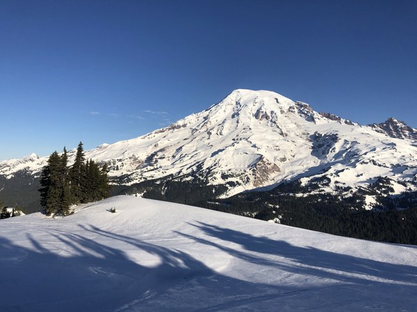
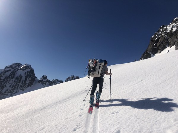
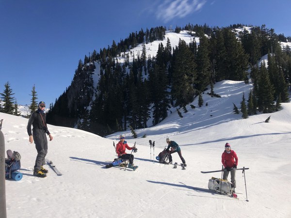
Unfortunately, we realized there was not an easy way over Wahpenayo and we had to drop into the basin to the south of Wahpenayo and then ascend the ridge to the west of the peak. We booted with crampons and ice axes up the steepest slopes we had encountered yet. Knowing that we would not be able to self arrest a fall in the soft snow conditions made this the most spicy part of the tour. Gaining the ridge, we scrambled down some loose rocks to find a spot to drop into the basin below Chutla Peak. At this point we realized that following the summer trail would have dropped us into the same basin, saving us over an hour, and offering superior skiing in the sun. Lesson learned!
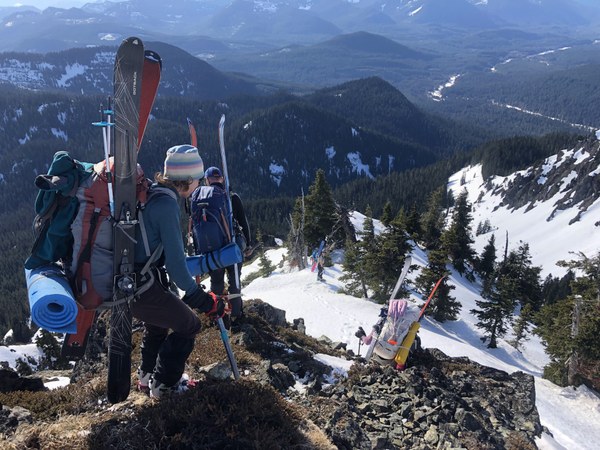
We skied some painstakingly icy turns before booting up to the notch south of Chutla. From here, we descended towards Longmire and encountered some of the worst snow conditions of the weekend going through the trees. The forest thickened and luckily we were able to join up with the summer trail to Eagle Ridge or else we might still be there; the skiing was that treacherous. The trail quickly turned to dirt at about 4,000ft and we carried our skis and ran towards Longmire. The first members of our group made it through the gate to go get our cars just after 4:00pm, earning a lecture from a park ranger.
All in all a challenging and fun adventure with stunning views along the way. I would repeat this route again, with better snow conditions and next time take the time for some peak bagging along the way.
Gear we were glad we had: ski crampons, ice axe, boot crampons
Gear we wished we brought: radios, more sandwiches
 Karina Vanderbilt