Trip Report
South Early Winter Spire/Southwest Couloir
A classic alpine snow and ice couloir at the very end of its recommended season
- Sun, May 28, 2017
- South Early Winter Spire/Southwest Couloir
- Climbing
- Successful
-

- Road suitable for all vehicles
-
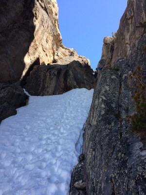
When in good condition, this couloir is very aesthetic and is the most direct and efficient way to a classic alpine summit. Seeing the road directly below adds to the sense of "Alps-like" climbing in the Washington Pass area, where one can drink an espresso at the Mazama store, climb thousands of feet on snow and rock, and be back down in town for a cold beverage shortly thereafter.
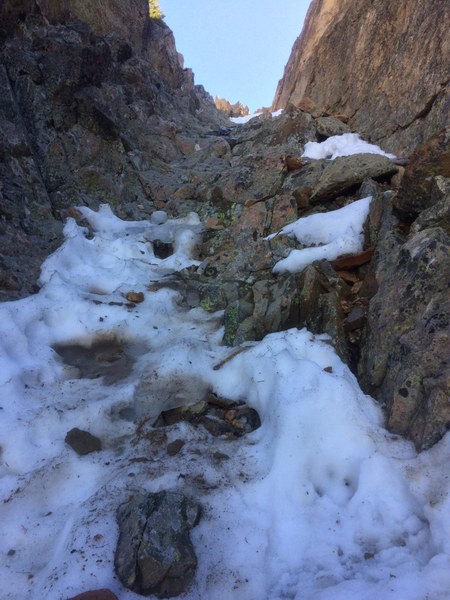
However, despite the deep snowpack this winter, things are melting out surprisingly quickly at Washington Pass. This current hot spell we've had has really made a dent in the snowpack (as the rising Methow River reminds us). The upper 200 feet or so of the couloir have melted out, leaving some unsavory rock steps and a fair amount of loose rock to negotiate, not terribly difficult to climb but rather hazardous for anyone below you in the tight, steep couloir.
Approach: I parked at the hairpin turn and left the car a few minutes before 7 AM. Spire Gully was in great condition, with some avalanche debris but overall great snow conditions and only one tiny cornice collapse up high during the 90 minutes or so it took me to arrive on top.
Climb: Straightforward, pleasant snow conditions for 3/4 of the route. Melted out for upper 200 feet.
Descent: There are established rappel stations all the way down the steeper parts of the couloir (okay for a single 60-M rope with just a few feet of down-climbing in a few places)
Overall: I would not recommend this route at this point in the season. Wait until next year to get it a bit earlier.
Left car at 7 AM
Top of SEWS at 10 AM
Back at car at 1 PM
The weather was extraordinary and the views from the top were sensational.

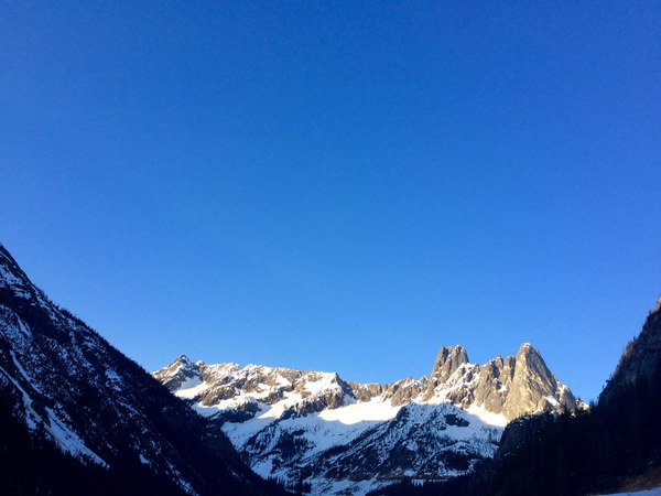
SEWS is the left-most peak on the right side of the photo.

This is the first rock step, where the continuous snow ended and the rock scramble began. Probably class 4 in these conditions.

Summit panorama, with HWY 20 leading down to the Methow valley, and the rest of the Early Winters Massif (including Liberty Bell) on the left and Kangaroo Ridge to the right
 Steve Smith