Trip Report
Silver Star Mountain/Silver Star Creek
Silver Star ski tour via Silver Star Creek
- Sat, Jun 2, 2018
- Silver Star Mountain/Silver Star Creek
- Backcountry Skiing & Scrambling
- Successful
-

- Road suitable for all vehicles
-
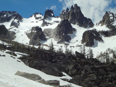
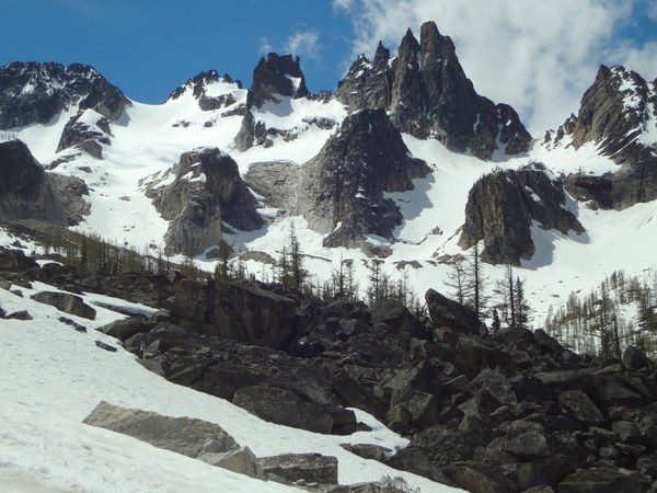
Route is effectively snow free until about 4900 feet. After that, there is spotty snow as you find your way through the woods. ski-able snow did not really start until about 6800 feet at the terminal moraine below the glacier.
From Silver Star creek ascend climbers path to approximately 4400 feet where things level off slightly. Route finding is fairly easy, though there is a lot of blow-down to go over and under
Continue up at a mellow incline on the East side of the creek. The climbers path is very faint, but if you keep East of the creek and below Eastern ridge, you'll be fine. Several cairns and a bit of pink tape mark the way.
Emerge from the woods in the basin below Silver Star. Marsh and slide alder are to climber's right. Turn left (East) and ascend through first scree and then steep slide alder and woods to emerge on a bench. Ascend bench trending toward terminus of Silver Star glacier.
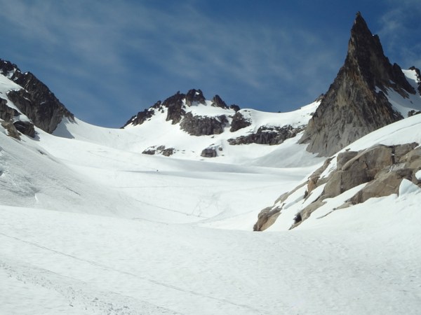
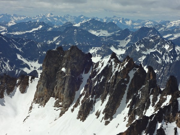
Ascend glacier to the col and then scramble through snow and rocks to the summit. There are a couple of exposed move toward the summit but they are naturally protected in chimneys and a couple of hand lines have been placed to assist.
Did a ski tour of silver star via Silver Star creek. Beautiful day in the North Cascades, but I was probably 2-3 weeks late for any real skiing. I carried my boards to the col because it was early in the day and snow was still hard enough for crampons. Continuous ski-able snow did not start until about 6800 feet. A whole lot of work for just a few turns!
Ran into a couple of Mountaineers groups (one listed climb and one private). Looked like everyone was having a great day in the mountains!
Times were:
- Trailhead to meadow 2 hours
- Meadow to glacier terminus 1 hour
- Glacier terminus to col 1:15
- Col to summit 15 minutes
- Summit to car 3 hours


 colin corbin