Trip Report
Osborne Mountain Trail
A new winter scramble destination? Yes please!
- Sat, Jan 16, 2021
- Osborne Mountain Trail
- Scrambling
- Successful
-

- Road suitable for all vehicles
-
With the recent heavy rain decimating the snow pack, the route is in excellent shape. No snow until 4000', and even above there, the crust was good enough to not need snowshoes (although we did use them since we had them)
Not much to say about the trail, it's in decent shape, and steadily climbs 2.6 miles and 2000' to the 3-way junction. From there you take a hard left, then immediately leave the trail to gain the ridge. The ridge itself is pretty easy - not too brushy and not too steep. Snow began around 4000', and we put on microspikes. Eventually you hit an old logging road, which has some peak-a-boo views to the south. The road gradually improves improves until it turns into a main road (there are signs that this area is scheduled to be logged)
View of Griffin Mountain and Mt. St. Helens by Sue Shih:
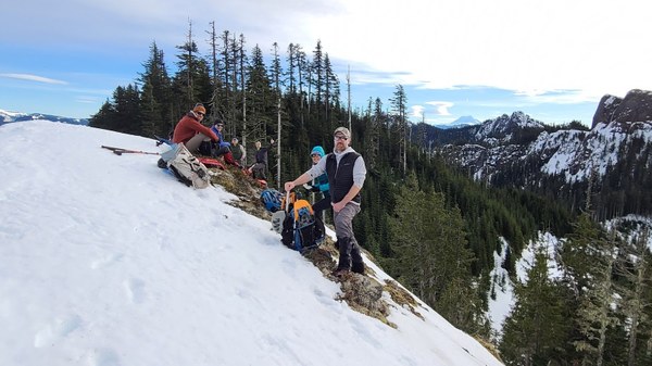
Follow the road until you are at the final ridge of Osborne. You can go up the ridge, or follow the road until you are below the summit and head up, it doesn't make any difference. This part is a bit steep and brushy. The summit ridge has great views to the north. From the summit, look down the ridge east at the saddle on the cliffs - head there for the best views (but watch out for cornices)
Mt Wow, TumTum, and Rainier by Sue Shih:
View of Adams and Sawtooth Ridge by Sue Shih:
On the return trip, we tried to follow the summer trail, but after a few hundred feet of sidehilling, we abandoned that idea and headed back up to the road and went down the way we came.
Stats were approx 9 miles, 3500' elevation gain in about 7 1/2 hours.
 Tom Girard