Trip Report
Boulder Peak
Took advantage of 2 days of nice weather, to complete a solo scramble of Boulder Peak. Mitigating my exposure to the Corona Virus with Solo trips into the Olympics this year. Olympics afford boundless opportunity in Social Distancing.
- Wed, Oct 21, 2020 — Thu, Oct 22, 2020
- Olympic Hot Springs, Boulder Lake & Appleton Pass
- Scrambling
- Successful
-

- Road suitable for all vehicles
-
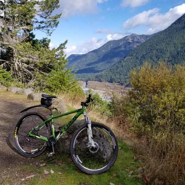
Good 1/2 mile bypass trail takes you up a small knoll to get around the bridge wash out at the beginning of the Elwha road. A few trees down on the paved road to the Hot springs. Many trees down on trail into hot springs, and Boulder lake. 6 or so required dismounting bike, or removing pack.
Wed Left TH 9:30 am~ drop bike 3pm~ arrive Boulder Lake 5pm
Thur. Left Boulder Lake Camp at 8am~ Summit 11:20~Return to Camp 1:30~ return to car 6pm
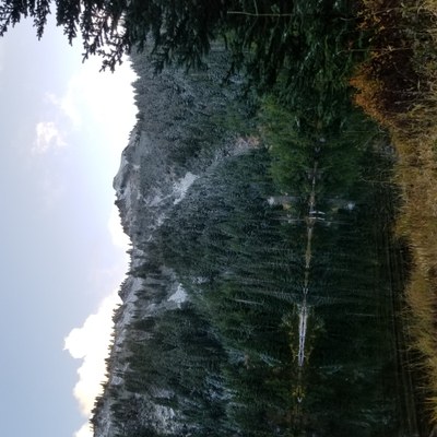
Took advantage of 2 days of nice weather for a return solo scramble of Boulder Peak, My first attempt was 18months ago. Took a leisurely, bike ride up the Elwah/Boulder Creek Road to the Olympic Hot Springs. There is a ½ mile detour at the bridge wash out, that requires walking the bike. Stopped at the interpretive site of the removed Glines Canyon Damn., very inspiring and informative. Strenuous uphill bike ride /walk from here on old pavement. Removed upper damn visible above handle bars. It is best to leave the bike at the Turn around circle at the end of the pavement. Beyond there are drainage ditches and downed trees, it is also posted no bikes with a small sign, ignored by many. Hike the 3+ miles to Boulder Lake, set up camp. Dusting of dry snow, frozen ground, temps in low 30’s.
Given snow, 30’ temp, I opted to take the Happy lake trail to the North ridge went a bit far North, a better choice is hitting ridge at the top of the switch backs. I was anxious for the sun on the ridge, so up I went. Loaded up on calories with a Mountain house Breakfast skillet. Unfortunately I did not have enough water for a much anticipated cup of coffee. The ridge run was time consuming staying on game trails mostly just to the east of the ridge. Several inches of dry snow above 5k feet, micro spikes essential today. North Ridge is steep toward the top, T-5 terrain given conditions, T-4 in dry conditions.
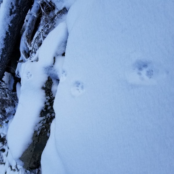
Descended West ridge to 5500 past cliff bands below, descended North into a small Avy Basin then back up to North ridge this worked well , a easier less steep route. Headed into the Avy gulley from here that drains into Boulder Lake. The top is a bit tricky to find a path thru the cliff bands and steep dense krummholz, of slide alder, and cedar Ascending this route , will give a better perspective to find a good route thru the steep 200'top section I ended up on the west side of the gulley, not a good choice my vegi belays bordering on vegi rappels. The snow made for some very cold wet gloves. On the plus side the Bobcat prints where awesome and plentiful, great tracking snow.
Below the top section the travel is easier, thru the less steep avy debris catch basin and then the creek drainage gulley into the lake All in all a challenging fun scramble.
Very educational seeing this terrain in relation to Avy danger and our previous trip in April 2019. See previous trip report https://www.mountaineers.org/activities/trip-reports/boulder-peak
For an amazing photo of a cornice triggered, persistent slab Avalanche that happened weeks before our arrival at the lake. At that time I thought the avy debris was a unique event. This trip looking at the terrain, the whole peak is prime for avy activity. Use careful evaluation of snow pack and route when significant snow is present.
It felt good to bag a summit. Previous trips this year summits have been elusive, the Olympics are proving quite challenging to me. I had 2 of the 100 peaks in Rainier that took me more than 1 attempt.
 Dave Schultz