Trip Report
Naturalist Trip - Fay Peak
Perfect day with comfortable temps, great visibility, and no crowds!
- Thu, Aug 17, 2023
- Naturalist Trip - Fay Peak
- Fay Peak, Hessong Rock & Mount Pleasant
- Naturalist & Scrambling
- Successful
-

- Road suitable for all vehicles
-
The Mowich road is not bad with some washboarding and a few holes, but doable for most vehicles at a respectable speed. One logging truck outside MRNP boundary in the morning, so beware during weekdays. Nat'l Park pass or equivalent for each car must be visible while parked. We took unmaintained trails from Mowich Lake, so that speaks for itself.
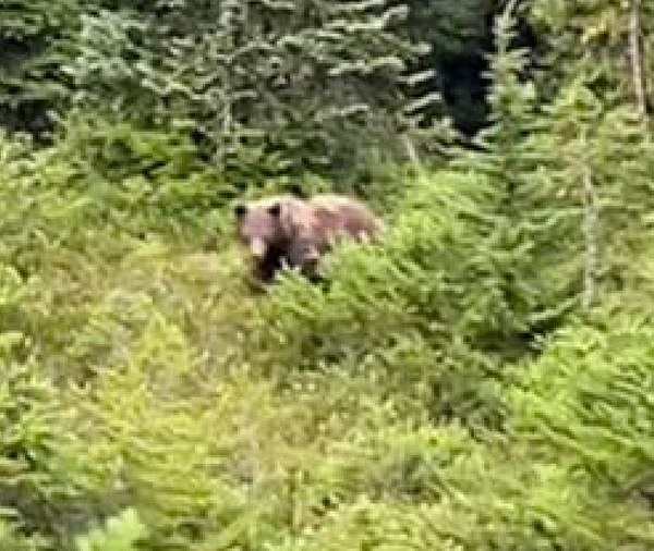
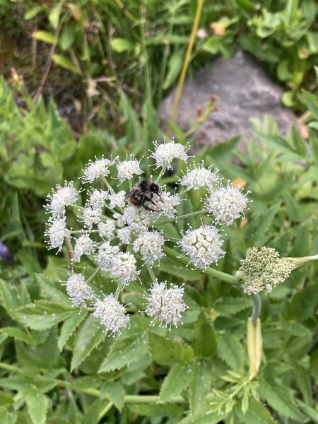
It's pretty dry out there, but still many flowers to examine and we learned about how to identify them and understand more about their life cycles. Spotted a few species of butterflies as we passed through sunny areas on our way back to the cars. We also got a good look at a brown black bear having breakfast not far from us! He had an interesting yellowish strip of fur along his back, not sure if that's typical.
Zoomed in fuzzy screen shot of bear photo (thank you Courtny!):
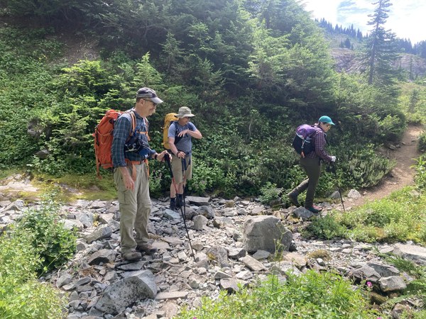
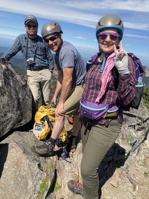
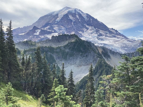
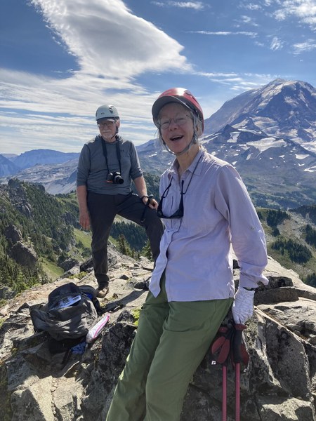
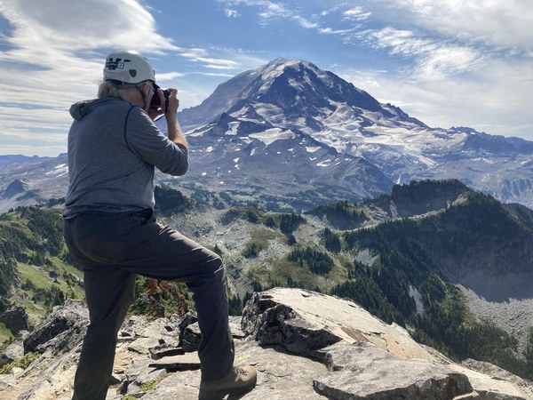
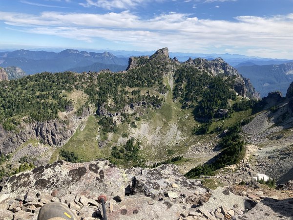
From Mowich Lake we ascended Fay Peak via the west ridge and had some fun getting up the summit rocks! Our descent route took us on a loop down the east ridge and a very loose, steep scree slope to the Knapsack Pass trail. Lots of erosion on the trail will probably continue. There were few, if any, mosquitoes and some annoying flies, but a strange lack of bugs was kind of nice. No other scramblers were seen until we were on the way back and almost down to the Knapsack Pass trail. A fun relatively short adventure just under 4 miles rt and a little over 1,500' gain!
 Nancy Lloyd