
Trip Report
Intermediate Alpine Climb - The Chilliwacks Peaks
Great weather and a great workout in the Chilliwack Range over the 4th of July weekend.
- Fri, Jun 30, 2023 — Mon, Jul 3, 2023
- Intermediate Alpine Climb - The Chilliwacks Peaks
- The Chilliwacks Peaks
- Climbing
- Successful
-

- Road recommended for high clearance only
-
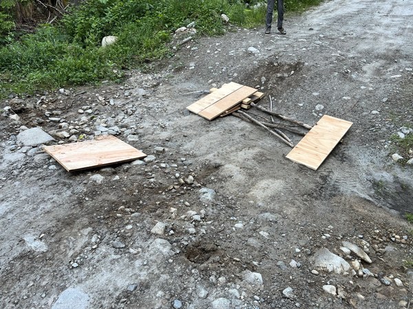
Road is rough and we had to stop more than the .8 miles from the trailhead that you read about do to these large drainage berms. Fortunately, a Memorial Day party's trip report gave us the idea for using wood to bridge the gap. We had to do this 5+ times coming and going.
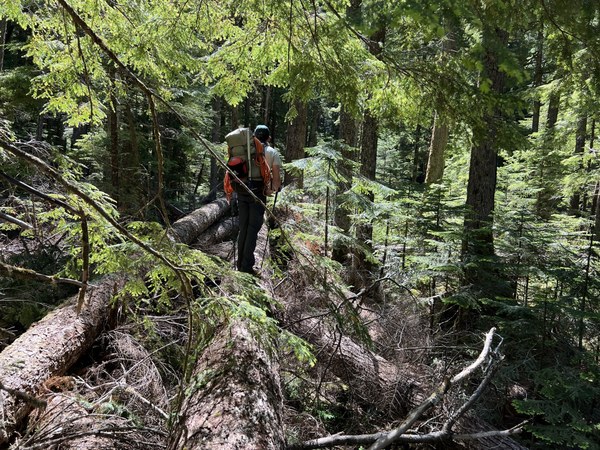
The trail conditions are also pretty rough as there is a ton of blow down that isn't maintained because of the remoteness of the Depot Creek TH. We were probably in contact with the trail for only 50% of the approach and a little better on the descent.
Our party of four took off early Friday morning to cross the Canadian border and get to the Depot Creek "trailhead" south of Vedder as early as possible.
Our original plan was to attempt Spickard on day one after arriving at camp due to the relatively short 7.5 miles approach gaining only 3600'. However due to the difficult trail conditions and zillions of blow downs, we didn't have time for Spickard that first evening and just enjoyed the spectacular setting of camp at Lake Ouzel.
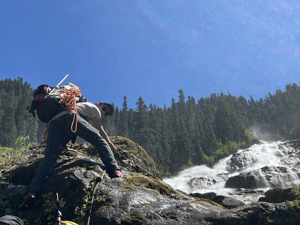
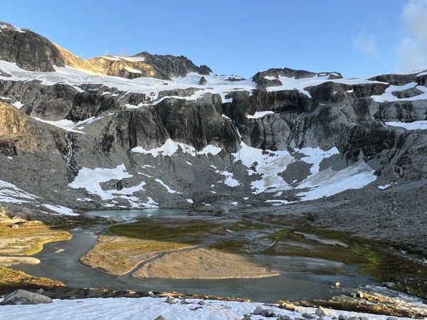
Day two was the climb up into the spectacular Silver Lake basin to summit Rahm and Custer. To summit Rahm we chose to ascend the "short fourth" gully that you read about on the web and descend the "long third" gully to get out of Rahm's upper basin. Every rock was loose so lots of mitigating risk by staying close when the rocks were small and moving in parties of two when the unavoidable trundles were significant in size.
We elected to skip the ridge run connecting the two peaks and after summiting Rahm instead chose to back track to the point where the south ridge got close to Silver Lake at 7400' and ascended the world's loosest ridge to the summit of Custer. There is a reason every photo you see of someone summitting Custer is of them on their hands and knees! Unprotectable and ultra loose 3rd/4th.
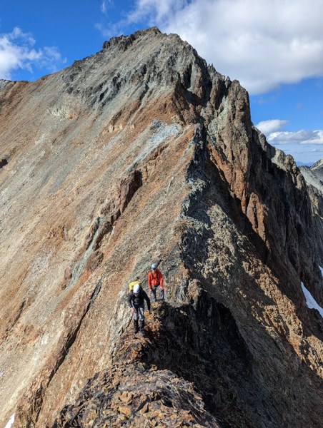
Day three was Spickard and the hike out. We climbed through the Spickard-Solitude col in a couple hours out from camp and then began the long snowy traverse around the southeast side of Spickard to gain the long snow ramp to the summit ridge.
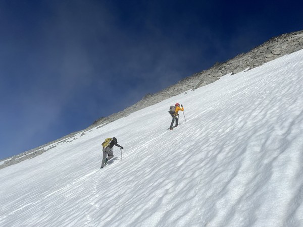
As so often climbing in the Cascades, obtaining a summit can come down to picking the correct gully so ascend. We "experimented" with them all and ultimately used the third gully right of the snow ramp to get to the summit. We descended this same gully and quick plunge-stepped back to the col for the downclimb.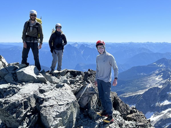 The hike out went better than the approach and we were able to get back to the car for a logging road bivy in 6 1/2 after leaving Lake Ouzel.
We'll be back for round 2....
 Michael Nanney