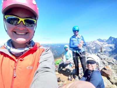
Trip Report
Intermediate Alpine Climb - Mount Thompson/West Ridge
Fun climb in perfect weather
- Sat, Aug 29, 2020 — Sun, Aug 30, 2020
- Intermediate Alpine Climb - Mount Thompson/West Ridge
- Mount Thompson/West Ridge
- Climbing
- Successful
-

- Road suitable for all vehicles
-
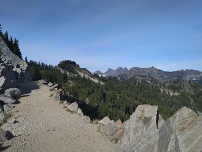
PCT North is a cruiser, and the climbers' trail to Bumblebee Pass is easy to find about half a mile past Gravel and Ridge Lakes. There are more climbers' trails in the basin, going left (to get to the start of the West Ridge) and then taking you from the East Ridge (the descent route, and more popular scramble route) through the talus fields and back to the pass. You'll have to figure out how to get to the start of the route; see our solution in the trip report below.
You can camp in the basin south of Thompson; there is running water and some bivy sites.
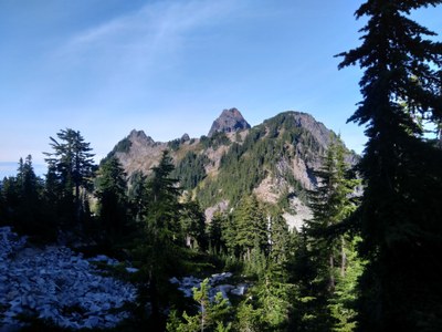
We had a leisurely start on Saturday morning, meeting at the PCT trailhead at 8:30am. The parking lot was already full, but we were able to leave the cars overnight at the parking area by the ski resort. Long and dusty hike on PCT, but sweetened by huckleberries that are finally ripe. It was a cloudy day, and we ran into two other parties who had planned to climb Thompson in a day but were turning around due to socked-in conditions on the ridge; we later realized understood this should be a "good weather" route and probably not something you want to climb in the fog. The first view of Thompson from the trail is rather intimidating:
We had discussed hiking past Ridge and Gravel Lakes to camp in the basin south of the peak, but despite the weather forecast it was still quite chilly and windy when we got to the lakes. We knew we wouldn't want to climb the ridge unless we had good conditions, so we decided to stay at the lakes for the night rather than carry overnight packs over Bumblebee Pass. It was still early in the day, so we occupied ourselves by scrambling Alaska Mountain nearby (the ambitious members of the team) or napping and eating huckleberries (the less ambitious members). It is already getting cold in the mountains: we had a chilly night and woke up in the morning to frozen condensation on our gear. However, the sky was clear, the winds had died down, so we had no choice: we had to go climb!
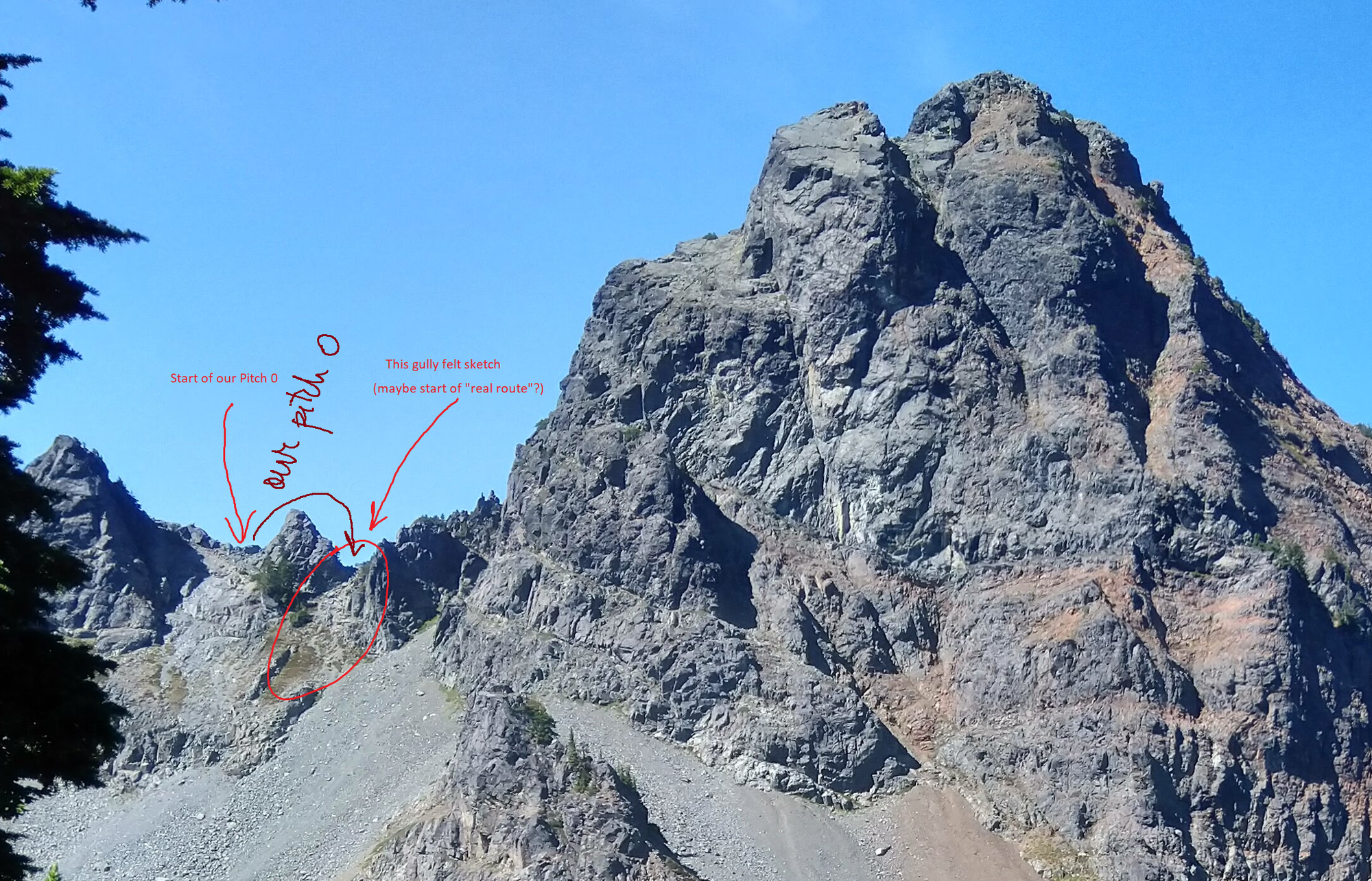
Ascent: the crux of this climb might be getting to the start of the "real" route. We had several slightly conflicting descriptions, and at some point all gullies start to look the same. The gully to the left of the small dogtooth seemed the safest (see diagram below), and once we got there we had to figure out how to get over or around the dogtooth. We explored traversing on the south as well as north side, but none of the options were satisfying: loose class 4 / 5 and rather sketchy. For future climbers on this route: you are here to climb, so just rope up and pitch the small dogtooth, it will save you time! We probably wasted at least half an hour before eventually climbing over it.
Not much to add for the climbing route besides what you can find in excellent reports elsewhere. There are plenty of ledges to build belays, and the rope drag is not too bad. Extend your pieces, of course, like any alpine climber worth their rack. Watch for moving blocks here and there: test everything, especially before placing pro. Some reports mention taking a limited selection of pro, but I was happy to have my entire single alpine rack (#0.3-3 cams, and full set of nuts). I placed each cam at least once, plus a few of the nuts.
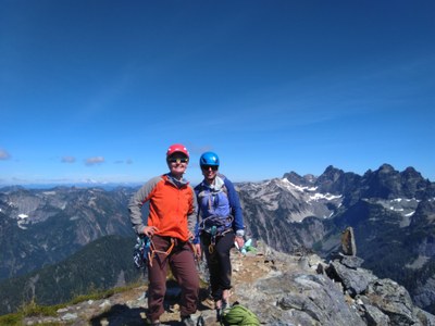
Nice views from the top, of course:
Descent: we scrambled down the East Ridge. The scramble sections are short and rappels are easy to find. We did all three rappels as single rope rappels. With four experienced, efficient climbers, these were relatively fast and "not sketch" compared to downclimbing loose, class 4 rock.
The first rappel leads directly to the second. On the third rappel, go down skier's left, not straight down on the obvious line. We ran this one full length, which took us to the less steep terrain below.
Long hike out, but pretty views. Made it back to the cars before dark, which is always a success in my book! Special thanks to Jian Fang for sharing his route research and fresh beta, and to the entire team for being willing to climb a mountain they had not heard of before.
 Alina Badus