
Trip Report
Intermediate Alpine Climb - Morning Star Peak/South Ridge
Wonderful climb of the Mile High Club (7 pitch bolted 5.10a)
- Sun, Jul 25, 2021
- Intermediate Alpine Climb - Morning Star Peak/South Ridge
- Morning Star Peak/South Ridge
- Climbing
- Successful
-

- Road suitable for all vehicles
Trip Report 7.25.21 Mile High Club
This route is more popular now than ever. If you must go on a weekend, I’d recommend starting early or camping at the trailhead to try and beat the crowds.
The streams are running high, so crossings may involve wet feet. Consider bringing an extra pair of shoes. Trekking poles were helpful.
There is only a tiny amount of snow on the approach which can easily be stepped around, so no traction or ice axes are necessary at this time.
To get to the climb: Mountain Project MHC Beta says “Follow the Sunrise Mine trail approximately two and a half miles to the last major switchback (~4300 foot elevation) before the trail begins zig zagging up to Headlee Pass. Leave the trail and begin a surprisingly easy traverse northeast across talus toward the Mile High buttress. Cairns mark the way well enough. Pass just above a large flat-topped boulder near the first set of trees. Follow a natural passage through the small stand of trees to a second open talus field. Continue across open heather and talus, cross a strip of trees near a rocky bluff, and ascend to the obvious red gully right of the Mile High Buttress. A convenient seep just before the Mile High gully provides water through mid-season and for a few days after rain. Scramble up and left on rubble-strewn ledges to a lone fir tree. Pass the tree on a ledge to a single belay bolt at the beginning of the route.”
This description matches my experience. The seep was running and available for water refills as of Sunday.
On the map below, the red marker is the turn off and the blue line shows the track through talus to the start of the climb.
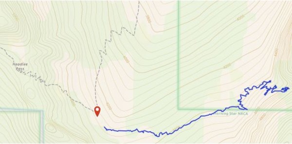
It is easy to find the climb during the day, but I have managed to get a bit lost in the dark returning from Beyond Redlining on a previous trip, so you might find this GPS of the talus field part helpful: https://www.gaiagps.com/map/?loc=15.8/-121.4991/48.0090&pubLink=5n7byE29zVQCazzdgx5gG4Rc&trackId=b521d548b9155de206487e84456a74d5
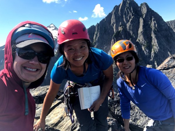
We had two teams of two: Lauren/ Kari and Juliet/Hong. The climbing is very fun with beautiful overhangs, aretes, views, jugs, and even some cracks! It was in full sun for most of our climb.
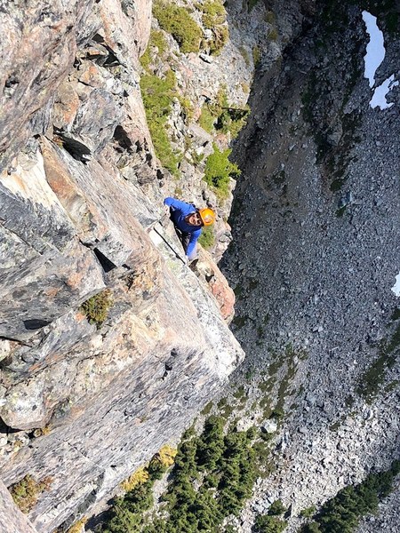
The route is well bolted and straightforward so I only have a couple notes:
- On pitch 3, I wish I had used more alpines to cut back on drag.
- On pitch 5, I initially tried to go left to the arete after the anchor. This is silly. The right dihedral is much easier and safer.
- One of our lead climbers found good ledges for hands and feet by climbing the left face of the left facing corner (rather than climbing the right facing corner).
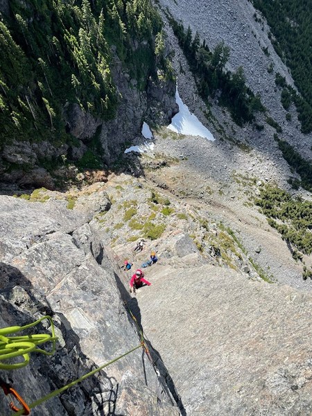
- There is a lot of loose rock on the route, especially near the top. Numerous parties above us knocked down rocks. There was a huge dried blood spatter at the top of pitch one, possibly from rock fall. Please be careful of loose rocks!
You mostly rappel the route. Saddlebags are essential to avoid knocking loose rock or hitting parties below. At pitch 3 I missed the intermediate anchor, which is notoriously difficult to find. If you have two ropes and there isn’t a party below you, I recommend using a double rope rappel down the bolted face to get to the top of pitch 2 so that you can avoid the tricky rap station all together. From there you can also do a double rope rappel to get to the base of a climb.
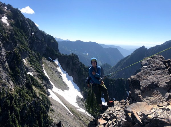
Thank you Kari, Juliet, and Hong for a beautiful day!
 Lauren Allen