Trip Report
Intermediate Alpine Climb - Chimney Rock/East Face Route
Beautiful area, but a tough climb where participants need to be very comfortable with lots of choss and exposed scrambling. The 3 pitches to the summit are easy.
- Sat, Aug 3, 2019 — Mon, Aug 5, 2019
- Intermediate Alpine Climb - Chimney Rock/East Face Direct
- Chimney Rock/East Face Direct
- Climbing
- Successful
- Road suitable for all vehicles
-
Your car will get dusty getting to the Pete Lake TH, but no problems besides this.
First of all, I can't really rate this climb so I chose not to. Would any of us do it again? I think not. Did we derive a lot of satisfaction from completing this challenging climb? I believe so.
I did a ton of research by reading every trip report I could find on this route and messaging and emailing several people who have done it. By the time I was done, I felt like I had already climbed it. But as one knows, you never really know until you're there yourself.
Lots of helpful suggestions were provided and they all definitely helped, but I think the one that ended up helping the most was from Jake Robinson who said to take as many high resolution photos of the route as possible. They indeed helped us make the right choice on where to go when we weren't sure.
The hours needed to do this climb were all over the place, but I knew it was going to take us longer than anyone else I had read about because I am not fast in the mountains and because we had a larger group. No other group I know of had more than 3. Having a group this large probably wasn't the best idea, but I had climbed with all of them before and knew how experienced and competent they were. I still have zero regrets having all these people with me.
Chimney Rock has many peaks. For this trip, we're after the main peak via the East Face route, not the East Face Direct that many do. The East Face Direct is usually done earlier in the season due to difficulties getting on to the rock. I knew this route would most likely still be in.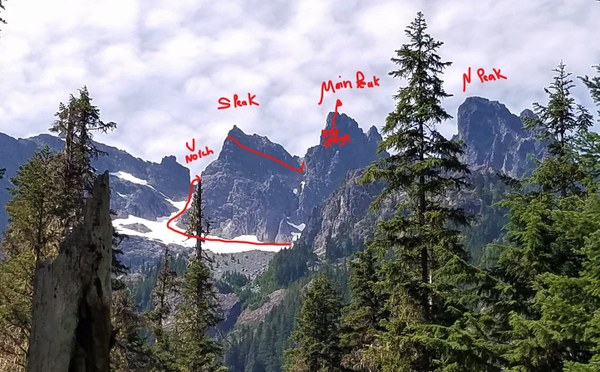
The 6 of us met at the Pioneer Roasting Company in Cle Elum at 10am and then headed to the Pete Lake TH arriving around 11am. It was going to be a warm day so glad we were going to be in the trees for most of the time.
We hiked the Pete Lake Trail 4 miles where we rendezvoused with the faster people. The campsites near the lake were empty, unlike last year when I was here over Labor Day Weekend. From the lake we could see the Lemah peaks, but not Chimney Rock. 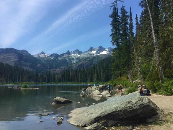 We continue around Pete Lake and soon connected with the PCT. Near the the first hairpin turn we get our first view of our destination.
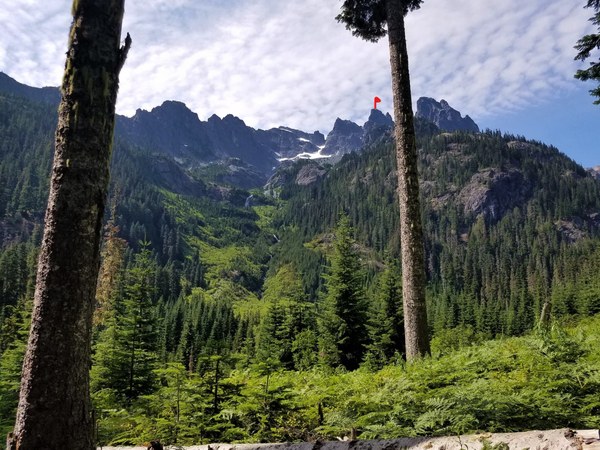 Not far from where the above photo was taken (near the hairpin turn - about 7 miles from the TH and at about 3400',) we dive into the vine maples for some bushwacking. It's about 3pm. Thankfully we have only about a mile more to go to reach our campsite at 4800'.
Luckily the bushwacking was short lived and we found the logs needed to cross the creek (not sure if it has a name) pretty easily.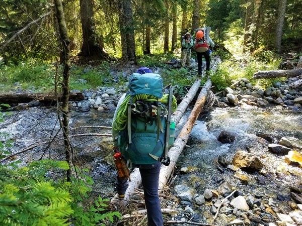 A large cairn built by Craig Weiland a couple years ago definitely marked the spot. It reminded me of a cairn with antlers.
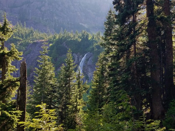
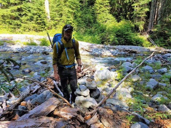 Craig Weiland and Rob Busack's tracks, some pink flagging and game paths helped keep us on track. We encounter brush on and off, some sections worse than others. The only photo I took while trying to reach camp was this one of the falls we saw right before getting off the PCT. Otherwise, no views were available as we were in the trees/brush the entire time.
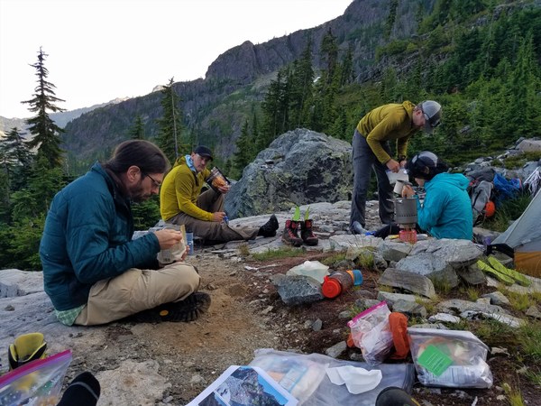
 We encounter a couple of dead ends and cliff walls, but were able to figure it out although it ate up some of our time. About 2.5 hours after leaving the PCT, we reach our campsite, a very large boulder. Photo taken on our return from the summit on Day 3.
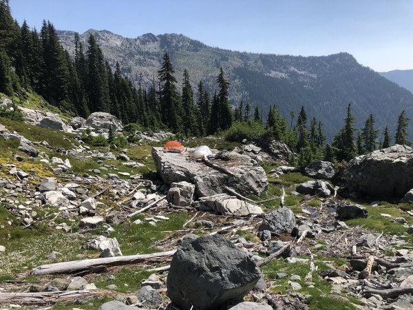 We were able to fit 2-2 person tents and 1 single on the boulder and 1 person was able to place their bivy near the boulder. Water was very close by. Surprisingly the mosquitoes did not bother us much and dinner that night was a pleasant affair.
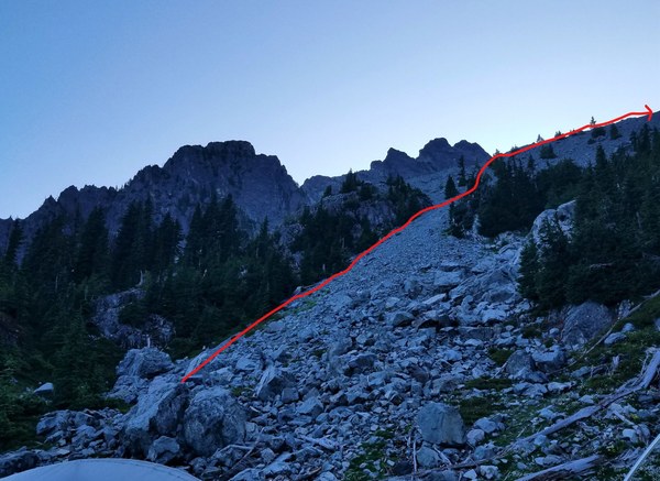
 I did a little route exploration after dinner, but we decided to use our track the next morning instead. In hindsight we should have gone the way I saw as we did this on the return and it was easier. Photo taken from our campsite, looking up at the beginning of our chossy route for the next day. We depart camp around 5:15am for the ridge.
***I want to mention here some reports have their group camping beneath a large boulder at 4600'. Rob Busack's track on Peakbaggers even has a waypoint at this location. We chose to go further up and camp at 4800." This coincides more with Craig Weiland's track.
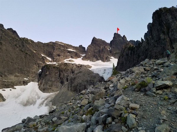
 On the ridge with a closer view of our destination and part of our route.
 Looking down the ridge and the route we came up. We did not go down this ridge on our return.
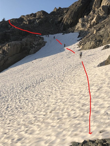
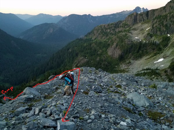 Once we got further on the ridge we decided going down on the other side of the wide gully would be better. One arrow shows the route along the ridge and continuing on to the notch at 5900' where we will eventually drop to the snow. The down arrow shows how we descended to camp the next day.
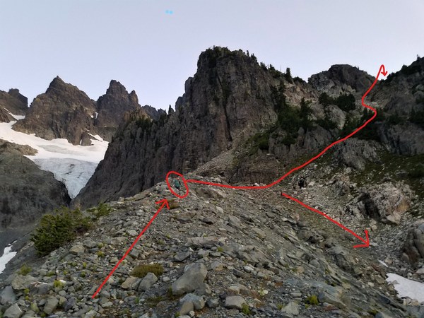 Getting closer to the 5900' notch. The scrambling here is on nice heather benches.
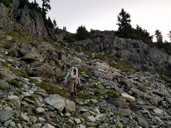
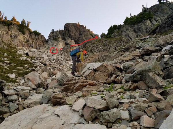 And then a magnificent view of the Chimney Rock peaks.
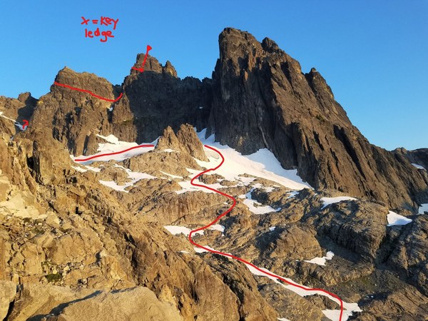 From the 5900' notch we drop down to reach the snow where some put on crampons. Looking back at the notch from where we came from.
 There are various ways to reach the arrow in the photo below. Pick your route depending on the conditions and snow levels.
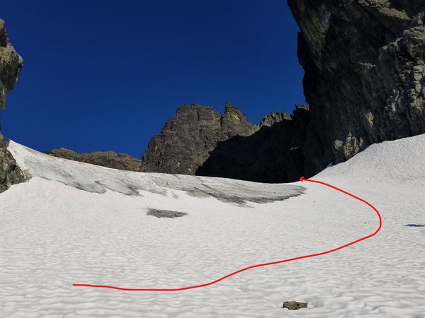
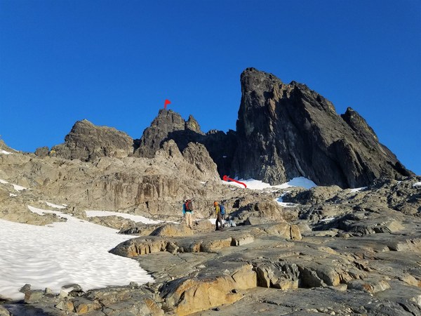 The arrow in the photo above is where this photo was taken.
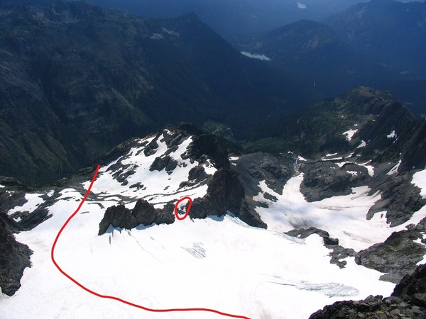
 This photo is Andy Boo's photo taken from above. The circled notch is where others have crossed as referenced in their trip reports, but we couldn't do it that way. One member said it was too steep so we went the route as shown with the arrow.
  We chose not to rope up for the Chimney Glacier as it looked benign. We did have 1 small crevasse to hop over as we headed for the snow/choss filled gully next to the S Peak that will take us to the U-Notch. We passed under the start of the E Face Direct climbing route and it appeared the moat was wide and deep although no one got close enough to really investigate. The arrow below is pointing to the start of the gully next to the S Peak.
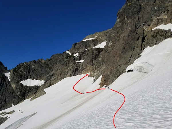 Up the gully we go. The snow is in good condition and it's not too steep. It's about 8:30am now.
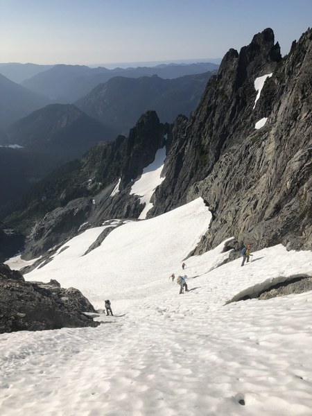 It gets steeper and steeper as we get closer to the notch. The snow is also getting harder there as it's in the shade. This picture taken on the return provides an idea of the steepness.
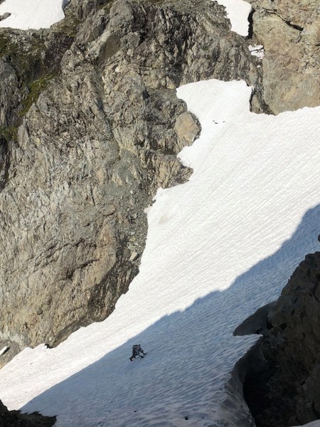 One report calls this a manky gully and I have to agree. There is a rock tongue that goes down the middle of the gully. Instead of following the snow up so high, we should have transitioned on to this rock tongue on climber's right earlier. We were able to do it, but it was sketchy for some of us. A photo taken on our descent trying to depict this.
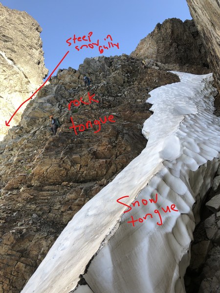 Finally at the U-Notch
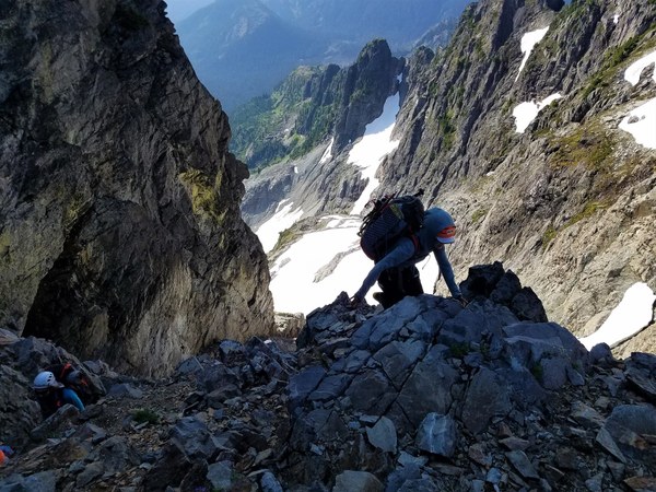 From here there is a slight descent and traverse to a ramp that will take us to the Improbable Ledge. The Improbable Ledge traverses across the E face of the S Peak. Photo below of the U Notch and beginning of the traverse.
 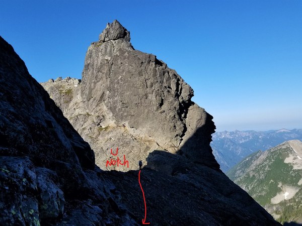 Another photo taken on the return. Just coming down the ramp and starting to traverse back to the U-Notch.
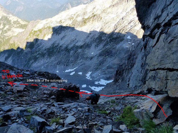 Unfortunately no one in our group took a photo of the ramp (class 3 and damp in sections) that will take you to the ledge, but there are many photos on the web that show this ramp.
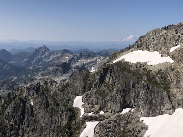
Beginning of the Improbable Ledge and back in the sun. About 9:45am now.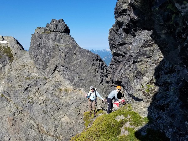 Mt Rainier
 The Improbable Ledge wasn't too bad, but a couple sections were pretty narrow and a little loose. The consequences of a fall here would be very bad. Unfortunately there is really no place to place protection for a fixed line.
 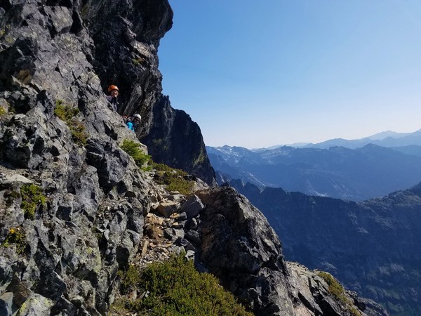 There is at 1 point where the bootpath on the ledge splits. You want to make sure to go up and around a corner, not down. There are photos of this place on line. We got a little off route here, but figured it out as soon as we looked at our photos.
Continuing on the ledge towards the white rock section.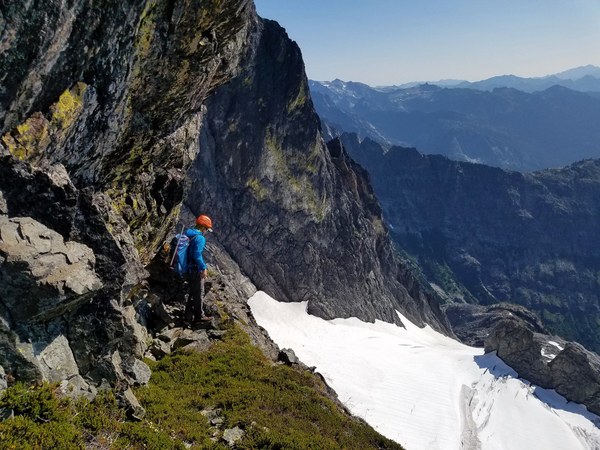 Another view looking down the E Face. The Chimney Glacier is kind of small.
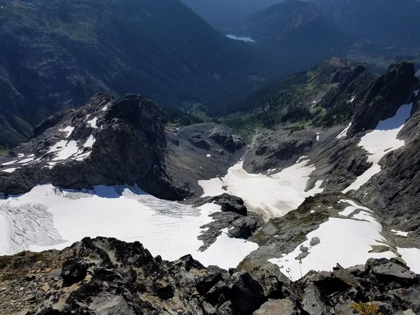 The descent towards the white rocks and start climbing up - Class 4 on the rocks. One report calls that gendarme in the top of the photo the Finger of Fate.
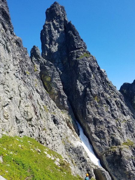
 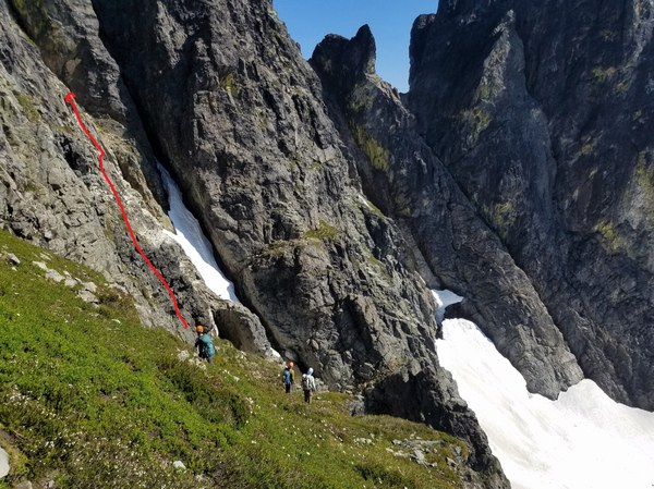 That's our summit, Chimney Rock's Main Peak.
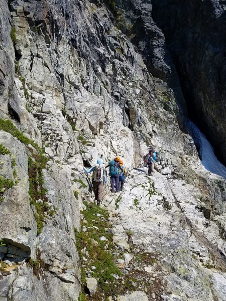
 Traversing across the ledge in the white rock section. The rock was pretty solid here.
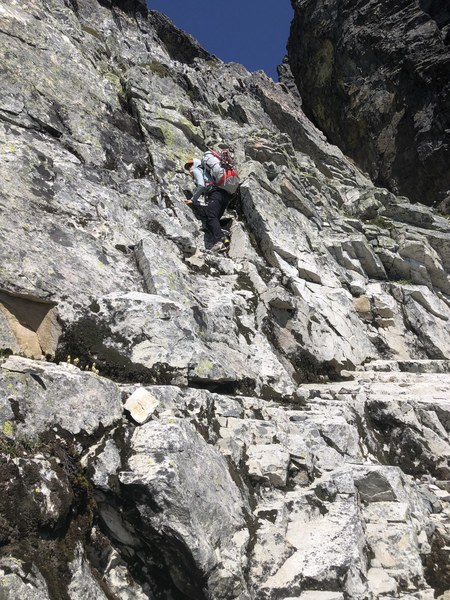
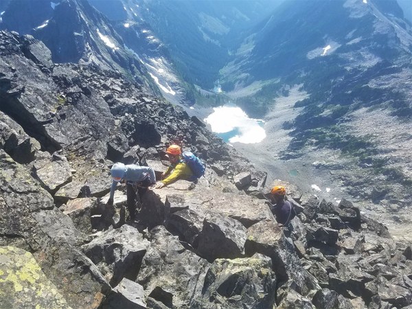
 Climbing the White Rock section was steeper, harder and more exposed than some of anticipated. We rappelled a section of this on our return. It's about 10:30am now.
 I knew we weren't supposed to climb all the way to the top of this section and needed to cross a couple gullies to take us to the Key Ledge (about where the E Face Direct route and our route meets.) This photo was taken on the return and a little deceiving. You actually have to cross the gully in the photo and then go up short ramp and then drop down again and cross a 2nd gully and go up a longer ramp. One drops down another heathery ramp to finally get to the Key Ledge.
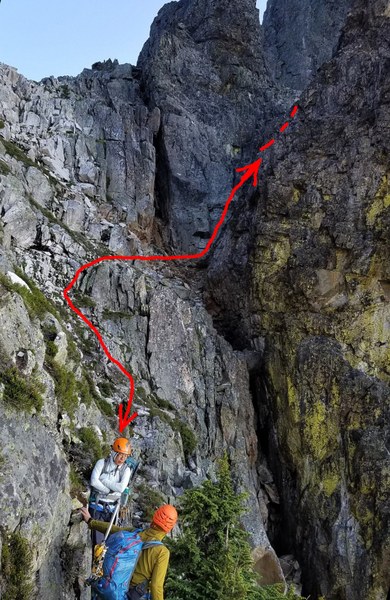 Harumi has crossed the first gully and gone up the shorter, first ramp. She will now need to descend the other side and cross a 2nd gully (where there happens to be anchors probably used for the E Face Direct route for rappelling down) and go up the longer ramp.
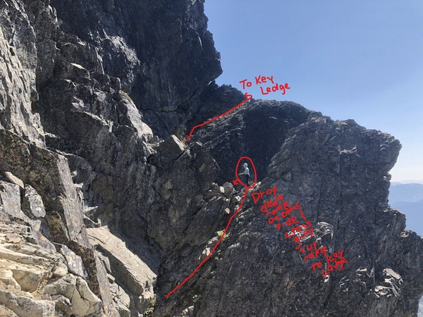 Photo of the down climb and the second gully at the bottom and start of ramp up to the Key Ledge. It's 11:20am now.
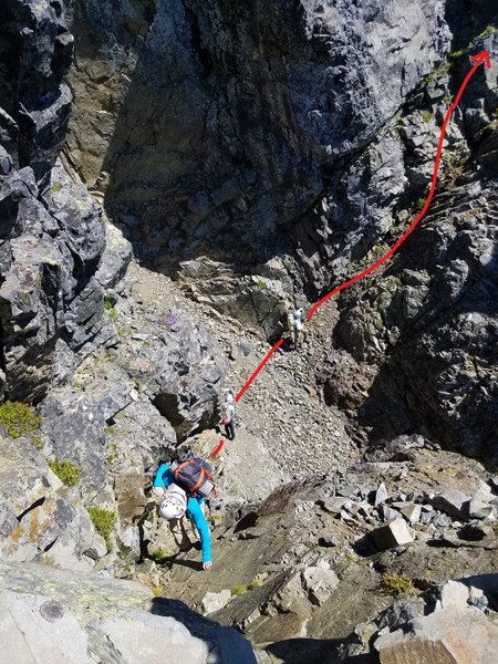 Up the ramp.
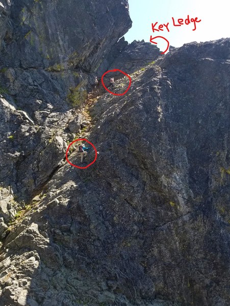 Once on top of this ramp, drop down a heathery ramp to finally reach the Key Ledge. We're at the Key Ledge bivy spot and it's about 11:45am.
 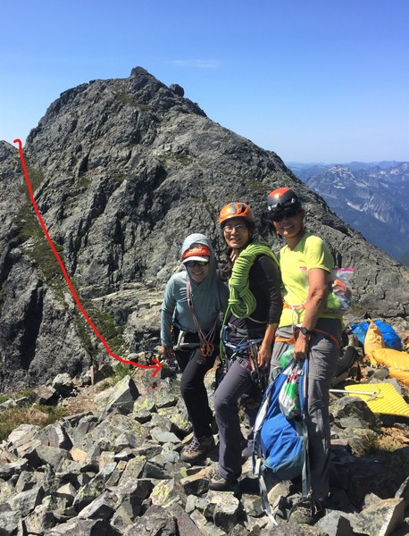 We take a break and get ready for pitched climbing. Literature say 3 pitches from here, but we do in 4 since we're using 30m ropes. The base of the climb is just around the corner from this bivy site. Team #1 (Scott/Jerry) take off around noon. This is when it slows down having 3 teams.
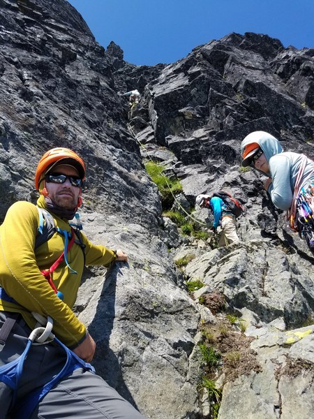 Last pitch and this photo was taken at 2:30pm. Scott is almost at the summit and we still have 2 teams to go.
 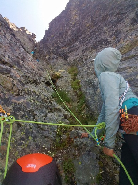 Hong bringing me up. The climbing is not difficult, but I am more than happy to let Hong lead it all.
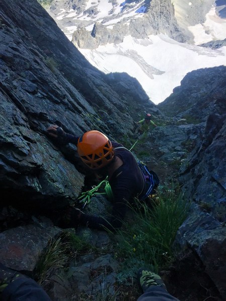 I arrive at the summit last at about 3:30pm. We're all happy to be here! Jerry, Harumi, Jason & Scott.
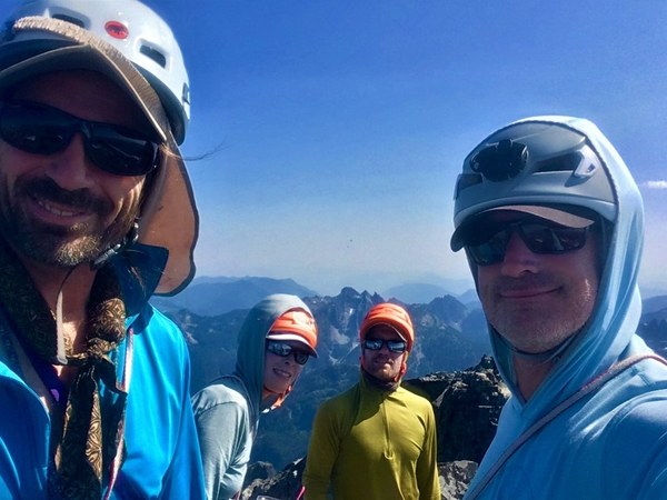 Hong and me.
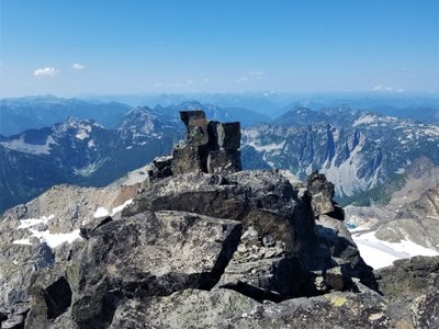
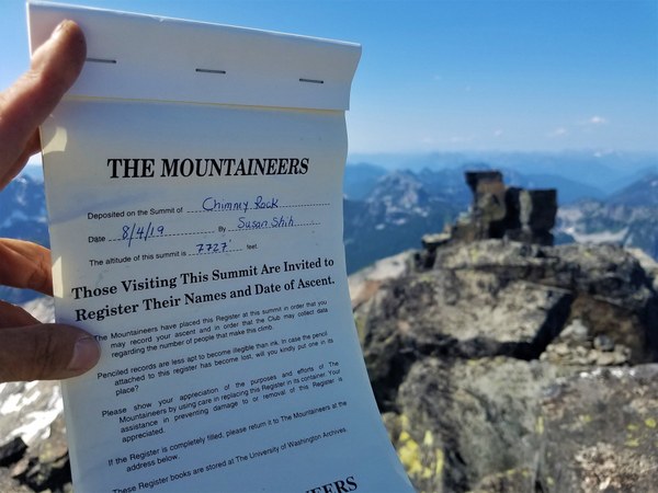
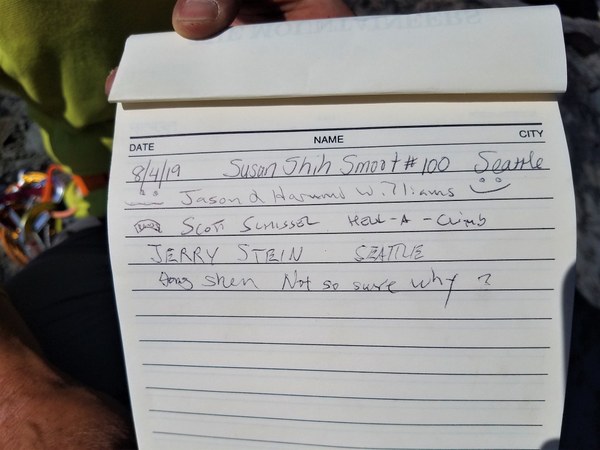
 A very special peak for me because I finished the Jeff Smoot list from his book, Climbing Washington's Mountains. First time I've ever place a summit register too. (I was asked to to do so by Jake who was here last year.)
 Views are pretty stunning.
  Peaks of Lemah.
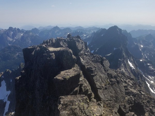 Iceberg Lake
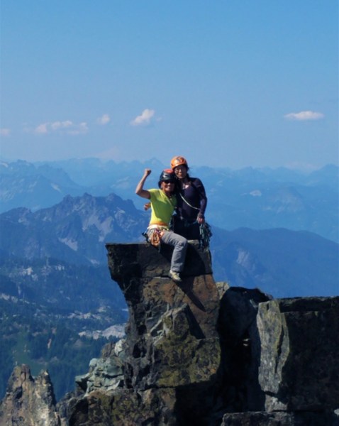
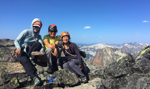
 The ladies of Chimney Rock.
 It's close to 6pm by the time we have all rappelled back to the Key Ledge. I've asked everyone to bring bivy gear because I didn't want to have to turn around due to time. Everyone is prepared to spend the night here. Not a bad place to hunker down.
 Someone is very comfortable and snoring softly.
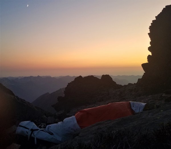 The sunrise with Mt Stuart in the distance on Day 3.
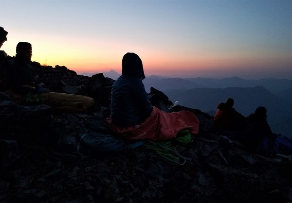 We depart about 6am. We retrace our steps slowly and carefully. We return to the white rocks area and set up a rappel using a tree as our anchor.
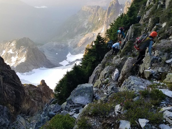 Some use a second rappel (see people below) while others down climb back to the white rock ledge.
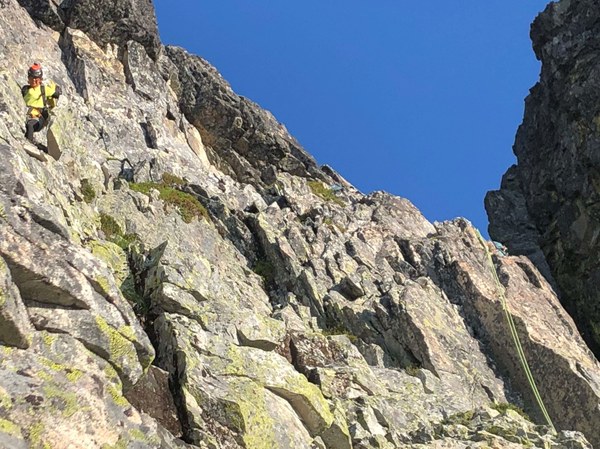 We traverse across the Improbable Ledge again, down slabby ramps and return to the U-Notch. How do we get down this crap? By carefully scrambling down in pairs or alone. No mistakes are made and everyone finally get on the snow.
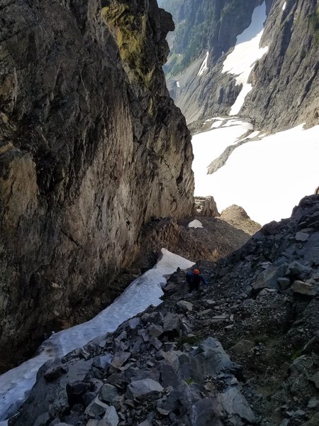
Jason sets up a rappel for Hong and me for the steeper part of the snow. I am tired and thankful for not having to climb down facing in.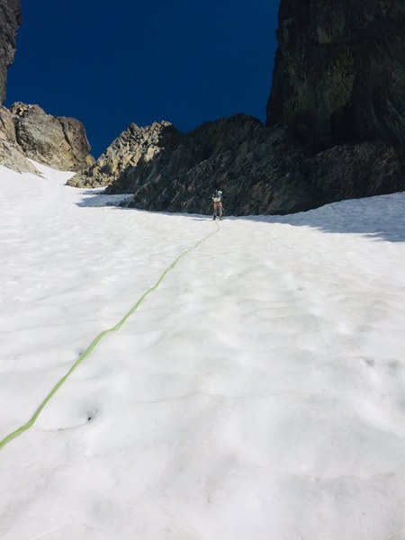 Back across Chimney Glacier and to water which we're all out of.
 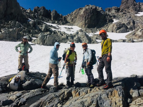 Back up to the 5900' notch, down the gully back to our campsite. This time trying to stay in the trees for a bit of shade too. We leave camp around 1pm. On the PCT about 4pm and back at the car around 7pm. Dinner at the Brick in Rosyln took a while so didn't get home till about 10:30pm.
Gear:
We had 2 - 30m ropes (8.7mm) and 1-60m (7.8mm) rope.
I recommended pretty much what Rob Busack wrote on his Peakbagger page, but not as much and not sure what was actually brought since I did not bring the gear.
BD singles 0#0.3 to #3, nuts (even or odd #,) 4 singles, 4 doubles and other usual rock climbing gear.
1 picket (not used)
Many thanks to the entire group for all their assistance in helping me get this peak. Could not have done it without them and couldn't have asked for a better group!
I used a combination of photos from most of them to write this report. So glad to be done!
 Susan Shih