Trip Report
Day Hike - Hurricane Ridge, Elwha River, Wolf Creek Loop
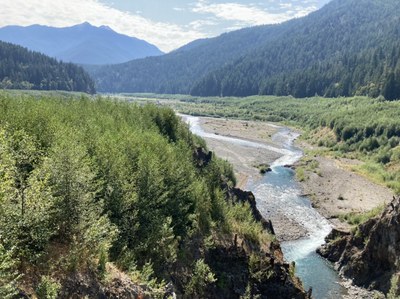
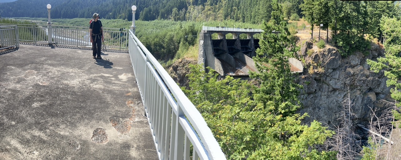
A great workout with breathtaking views of the Elwha River’s continuing progress towards its former wildness (many thanks to the Glines Canyon Dam/impounded Lake Mills removal). From Hurricane Ridge this trip used the Hurricane Hill-Elwha trail for descent, and the Wolf Creek trail for ascent (a total of ~5500’ gain over 20+ miles).
- Sun, Aug 15, 2021
- Day Hike - Elwha to Hurricane Hill
- Elwha to Hurricane Hill
- Day Hiking
- Successful
-

- Road suitable for all vehicles
-
A bit on the warm side but tolerable (as opposed to the 10°F warmer temperatures on the prior day, cooler temps and I’d give this one 5 stars). Lots of crowds at Hurricane Ridge, but the Wolf Creek trailhead had plenty of parking in the morning (most folks do the Hurricane Hill hike). All the streams accessible on this route continue to have moderate flows (unnamed streams on the lower portion of the Hurricane Hill-Elwha trail, Hurricane Creek/Wolf Creeks ~0.5 mile north of Whiskey Bend, upper portions of Wolf Creek at 3600’ and higher). The infrequently used Hurricane Hill - Elwha trail has received some much needed maintenance, although there are still a few spots up high in the meadows where inattention can cause you to briefly lose the trail.
This loop gives you a great workout plus a glimpse of the Elwha River recovery (most folks will prefer the much easier hike from the Madison Falls parking area ;). Originally scheduled for Saturday (with an hour earlier start made possible by earlier ferry sailings from the Seattle area), we settled for an hour later start on Sunday for its 10°F cooler temperatures. Even at that, this one was quite warm, especially the first 2000’ gain from Whiskey Bend with its warmer temperatures, higher humidity (ughh), and intermittent shade (the trees in that area are on the scrawny side). Shade improves as you get higher on this section, and multiple stream crossings at 3600’ and above are greatly appreciated. Temperatures and humidity dropped up higher, with some gentle breezes feeling like liquid champagne to the skin.
We had originally planned on a visit to the banks of the Elwha River using the Smokey Hill trail (just shy of Whiskey Bend), but we opted for a bit shorter trip (I wonder why ;) and settled on satiating our Elwha recovery appetites from the Glines Canyon Viewpoint (roughly a mile south of the Hurricane Hill trailhead):

Given the crowds and the complex array of roads/trails in the Hurricane Ridge area, the best place to meet (as well as park the cars) is the Wolf Creek trailhead (a choice especially appreciated at the end of a very long day). Our total trip time was a bit over 9 hours with ~1 hour to the top of Hurricane Hill, 2.5 hours to the Whiskey Bend Road, 2 hours to Whiskey Bend, and ~4 hours on the ascent back to the cars. A great outing, photos from this trip (as well as others to this venue) can be seen here.
 Dave Morgan