Trip Report
Eightmile Mountain
Good timing for a winter ascent.
- Sun, Mar 17, 2019 — Mon, Mar 18, 2019
- Eightmile Mountain
- Scrambling
- Successful
-

- Road suitable for all vehicles
-
Drive to Bridge Creek on Icicle Road is melted out. Eightmile Road to the trailhead can be booted on compact snow in morning.
There's a good skin-track/snow-shoe track to Eightmile Lake now. The snow is getting thin in places and won't last long. Eightmile Lake is frozen, but open inlet at western end gives access to flowing water.
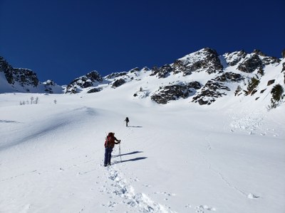
We followed easy open slopes up from the western end of Eightmile Lake up to the meadow at 5700 feet. Not knowing the snow conditions above, and knowing that loose-wet would be the danger of the day, we continued NW in the trees to the bench at 6400 feet. Traversed the bench SW until we were at the base of our route and on open slopes.
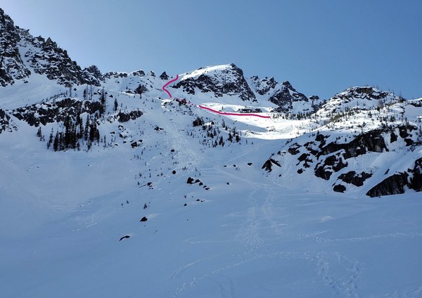
Followed a slight hogsback up to a constriction, paying close attention to surface conditions and hazards above. Snow remained firm enough to boot uphill. I think our timing was perfect. In a couple of weeks, the sun will be up early enough to affect this aspect of the mountain more. The snow will probably be too mushy, and after the solstice, cornice collapse will be added to the equation. There are many gullies leading to the SE ridge, but they all have giant cornices. This route had no dangers above, just 800 feet of exceptionally steep snow.
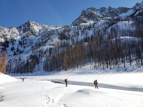
This was day two of a three day trip, and we got a bit of a late start (8:15am). Most of our group had been up Axis Peak the evening before, and legs were stiff rolling out of the tents. We knew it was going to be clear, sunny, warm, and loose-wet avalanche was a real danger. The walk up to the meadow in burned forest is really nice. The meadow is beautiful and surrounded by what would be great ski slopes.
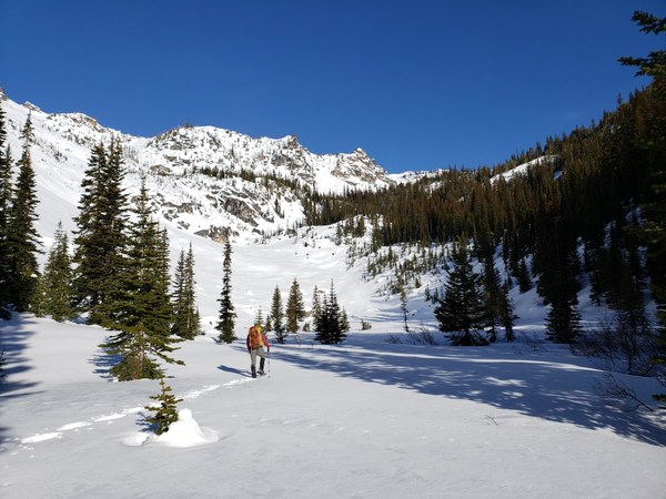
We wanted to remain in safe terrain as long as possible, so we went a round-about way to the bench at 6400 feet. It barely added any time, but as it turned out, wasn't necessary.
We paused at a totally unsafe flat spot at 7,100 feet to talk about route options. This was shaded (it was hot), but where most avalanche debris and rockfall come to rest on the upper mountain (please don't stop here). We considered every gully, discussed two options on sunny slopes, and in the end, two of five decided they were not going to continue. The other three of us agreed on a line I'd spotted on the approach. It was really hard to see from where we were, however. After quickly transitioning to crampons and moving up the mountain, we found our other two party members had turned around and were now coming up the mountain to the same route. They said that after descending a bit, they turned around and agreed that the route looked good from the different vantage. We were all pleased to agree that the route felt comfortable and safe to everyone, and to be back together.
It was a really strenuous 800 feet. The slope is no joke and we were a sweaty bunch by the time we made it to the summit. Boots came off, meat and cheese and sugary treats came out. We could see forever. Four volcanoes, north to south, east to west; incredible visibility.
We were supposed to do a traverse from Eightmile Mountain to the high point on Jack Ridge, going over or around Eightjack Peak. We all walked across the incredibly flat, enormous summit to where we could see down the ridge to Eightjack Peak. Getting down and traversing here would be easy, but going up and over the peak just wasn't going to happen. Our beta said it was class 4 to come down, so there was a real question to whether or not we could even scramble up it, but covered in snow, that was something we'd have to leave for another day. We weren't even going to try (you can see the summit block of it at the top of the ridge, left side of picture). And so Jack Ridge is tabled for another time. Probably next winter, with skis. That big broad slope looks so good (center of picture below)!
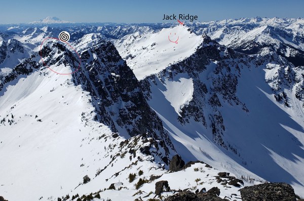

We descended the way we came, except for that bench and the forest. We just went straight down the mountain. This is an excellent backcountry ski spot. Surprised to not see any skin tracks.
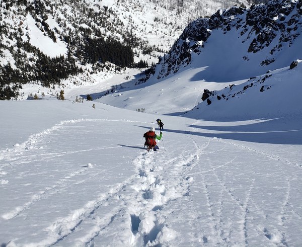 The views of Axis Peak are pretty epic from this route. Back in camp early with the entire afternoon ahead of us, it was time to make a proper dinner table and share stories over freeze-dried pasta dinners. Good times with great people. The next day we headed back to the cars and of course to Heidleburger for double nasties. They have a punch card now. Don't miss out on that.
 Brian Hill