Trip Report
Day Hike - Mount Catherine
Short hike to a big view. Good fall colors.
- Sat, Oct 7, 2023
- Day Hike - Mount Catherine
- Mount Catherine
- Day Hiking
- Successful
- Road suitable for all vehicles
-
The traii is in pretty god shape. There is one blowdown, people are eroding the trail by stepping aound. The switchbacks make the elevation gain seem less than it is. The last little bit to the summit is a little challenging. You have a choice of two routes, one has a cable to grab and this seemed to be the preferred route. There is not alot of room at the top.
There is a very small parking lot, 3-4 cars, it is possible to park along side the road. We arrived at 8 am and had our choice of parking. Quite a few more people arrived mid morning and there were a lot of cars along the side of the road as we left. WTA says to look for the trailhead sign on the right, you cannot see it from the road, it is a way up the trail. But check your odometer, you are at the trailhead 4.4 miles from where pavement ends. We had two groups ask us for directions, one looking for Annette Lake and the other Mirror Lake. There is a trail to Mirror Lake just before Mt Catherine, but it is not marked from the road.
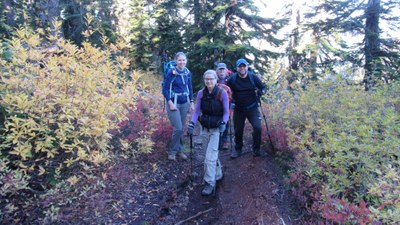
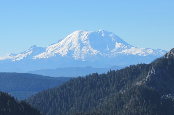
This is a short hike. Routes and Places says you can double the miles by leaving from the upper trailhead. This actually is the Cold Creek trailhead. Which doe not show on my GAIA, so I worried about the conditions and trip reports for Twin Lakes didn't look good, then you end with a road walk to the Mt. Catherinne trail. This did not sound appealing. We had a beautiful day with fall colors and views and so decided to take our time and enjoy it. We had the summit to ourseles for a while. As other groups came up, we headed down. One person had a trip planned to Roslyn, the rest of us had lunch together in North Bend. We enjoyed our time together.

 Barbara Folmer