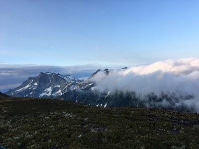
Trip Report
Buck Mountain/Southwest Route
A big loop of peaks with a variety of easy-to-difficult terrain. We climbed Chiwawa, Fortress, Berge, and Buck.
- Fri, Jul 5, 2019 — Sun, Jul 7, 2019
- Buck Mountain/Southwest Route
- Climbing
- Successful
- Road suitable for all vehicles
-
The route is in good condition. The steep snow leading up to the East Ridge of Fortress requires care to ascend. The direct route from the summit of Buck back to the Chiwawa River Trail involves difficult cross-country travel. All of the rock in the area is loose.
It was a holiday weekend. After other trip plans didn't work out we decided to make a counter-clockwise loop of some of the northern Entiat mountains in the Glacier Peak Wilderness. We climbed Chiwawa Mountain, Fortress Mountain, Mount Berge, and Buck Mountain.
Our party of three started from the Trinity trailhead at the end of Chiwawa River Road. We headed up the Chiwawa River Trail around 8:00 a.m. At the end of the trail we followed the description on SummitPost, picking our way up through heather, slabs, gullies, and talus to the summit of Chiwawa. We arrived around 4:00 p.m.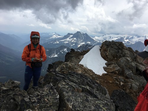
Our stay was short since the sky was misting and we had more climbing ahead.
We descended to the col between Chiwawa and Fortress and began a rising traverse to the ridge just east of Fortress. The snow on the final slope was quite steep and a little insecure. Then it was a short rock scramble to the summit, which we reached around 7:30 p.m.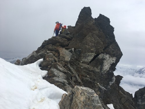
After another brief stay we headed down the easier southwest direction. We descended to a nice meadow just below the snow line and made camp. It rained during the night but when we woke the skies were cloudy but dry. It remained that way for the rest of the trip.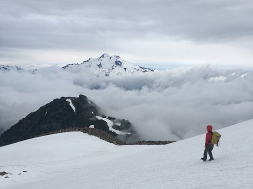
On day two we resumed our descent from Fortress. We dropped down to Pass No Pass, continued down the valley until we hit the Buck Creek Trail, and hiked up to the popular Buck Creek Pass.
From there we followed a nice trail that wound around Liberty Cap and ended at High Pass. Then we headed off-trail south down to and across a plateau at 6800 ft, traversed east around a broad buttress, and started climbing up towards Berge (unlabeled on USGS maps). From the col just south of Berge we picked our way up to the summit, arriving around 3:00 p.m.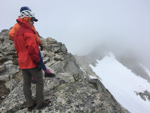
From the Berge col we descended to the west and then south over to a broad ridge that dropped us to a small creek around 6600 ft. Shortly after the creek we found a large, gently sloping bowl with small stands of larches where we set up camp.
On day three we headed up towards Buck, heading to the right when it got cliffy, and then back left where it opened onto a large open snow field below Buck's middle summit. We scrambled up to the summit, arriving around 9:00 a.m.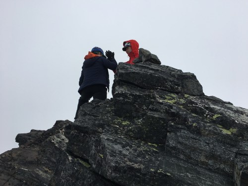
Rather than returning via the High and Buck Creek Passes we opted to piece together a more direct route. From Buck we headed south until we could cross over a ridge at 8100 ft and go almost due east. From there we maintained an eastward descent aiming towards the intersection of the Buck Creek and Chiwawa River trails. We crossed the steep ridge above Alpine Creek through a small notch at 7100 ft. From this point until we reached the trail we bushwhacked through some difficult terrain. Reaching the Chiwawa River, we went downstream about a quarter mile to find a place where we were able to access and ford the Chiwawa River.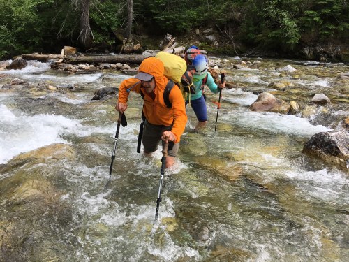
We arrived back at the trailhead around 6:00 p.m. It was a great trip. Although there wasn't any technical climbing it was still challenging and adventurous. The area is beautiful and the route offered terrific views of many nearby peaks.
 Stephen Sugiyama