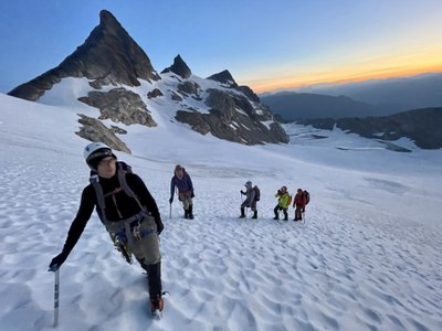
Trip Report
Basic Glacier Climb - Snowfield Peak, Neve Peak, Colonial Peak
An excellent three day trip with summits of Snowfield, Neve, and Colonial Peaks.
- Sat, Jul 10, 2021 — Mon, Jul 12, 2021
- Basic Glacier Climb - Snowfield Peak/Neve Glacier
- Snowfield Peak/Neve Glacier
- Climbing
- Successful
-

- Road suitable for all vehicles
Day 0: Marblemount
I arrived at the Marblemount Wilderness Information Center at 6:30 PM on Friday to reserve our spot in line to obtain permits the next day. I was 4th in line. It was well worth it; by the time our group met up at 6:45 AM on Saturday, the parking lot was full with dozens of climbers waiting to get permits. It took us about 5 minutes to get ours, and we were on our way.
Day 1: Pyramid Lake Trailhead to Camp, 5,780' elevation gain
We departed the Pyramid Lake trailhead at around 8:10 AM. The trail was snow free until around 4400', which is a huge departure from my Snowfield attempt a month ago, where we got turned around due to poor snow conditions on the approach. At that time, there were pools and running water along the entire ridge line to refill water. Presently there are small streams coming off of snow melt, but within a week or so I would not expect to be able to refill water between Pyramid Lake and the Colonial Creek crossing at 5,800'.
The traverse below Pyramid Peak has melted out a lot. We had read reports of two options to make the traverse, a high route that stays at around 5,800', and a low route that loses some elevation but stays on a nice boot path and regains the elevation just before the Colonial Creek waterfall. We chose the lower path. There is a faint climber's trail that skirts the entire basin, which we lost a few times on the approach but followed easily on our return trip.
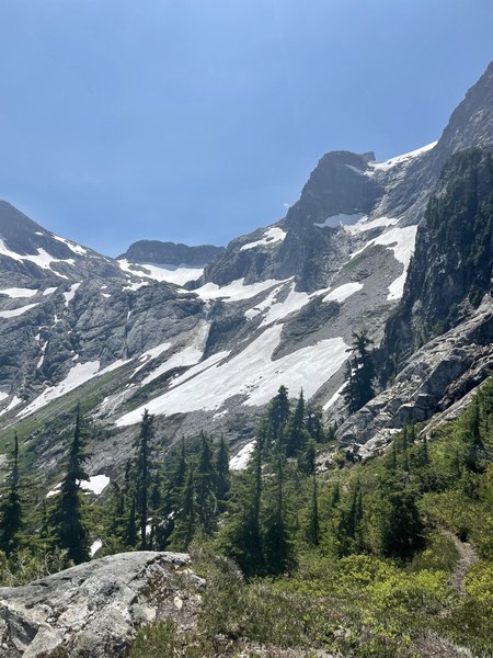
On the approach, it's worth turning around and noting the gully system you need to re-ascend on your return.
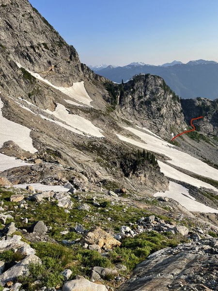
There were still patches of snow to navigate to get to the newly formed lake, which we donned crampons, ice axes, and helmets for. We arrived at the lake at around 3:15 PM. Two of us ascended the ridge above the lake to have a look at the spectacular campsites mentioned in prior trip reports. There were already tents set up in them, and it was extremely windy on the ridge, so we opted to set up camp on snow near the lake, next to running water.
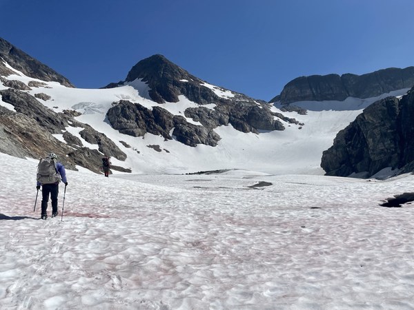
Day 2 Snowfield and Neve, 4,280' elevation gain
We left camp at 3:10 AM on Sunday. We started by skirting around the right of the lake, because we had seen a party successfully navigate it the evening prior. However, we did not think it was safe to do so. The lake is so melted out that, in my opinion, the only safe way to navigate it is to ascend the ridge at the base of the lake and stay high. There is a faint bootpath that will eventually drop back down onto the Colonial Glacier. We ascended the glacier unroped (all parties we'd observed descending the day prior had done the same; some had even glissaded). We did note a few small crevasses as we ascended to the notch. We descended loose scree and rock to get onto the Neve Glacier, at which point we roped up. The glacier is in fine shape; it has quite a few crevasses to walk around and hop over, which provided our students with excellent glacier route finding experience.
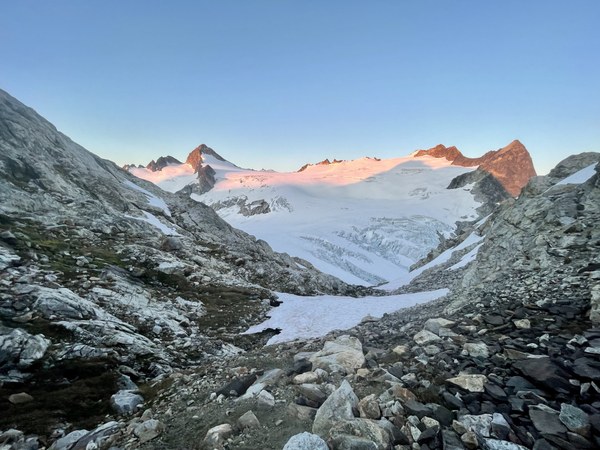
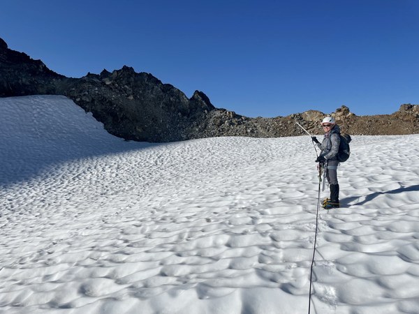
We'd heard that snow could linger on the summit pyramid, so we brought a rope, pickets, ice axes, and crampons with us just in case. However, the entire ridge and summit pyramid were snow free.
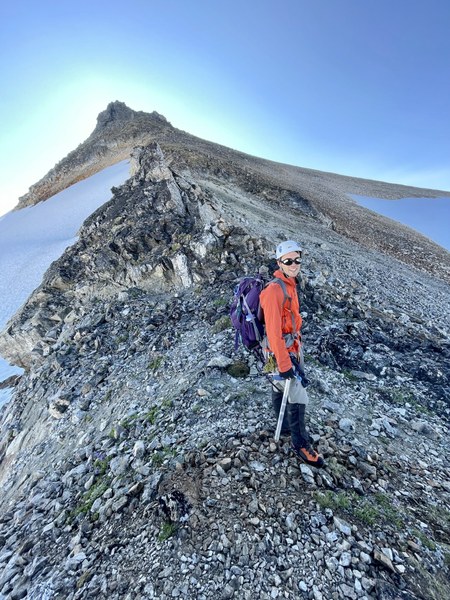
Despite coming equipped with all of the beta on the Mountaineers website and various trip reports on the summit pyramid, it wasn't as straightforward as we expected; if anything, too many different sources of beta added confusion. So I won't add to that here. All I'll say is that if you're scrambling on rocks that have a high amount of lichen cover, you're probably a little off route. The main route options are well-traveled, with much of the lichen removed.
We summited at around 9:15 AM and took a leisurely break there, noting the haze from wildfire smoke east of us on highway 20.
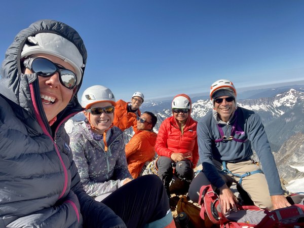
On our descent, most of us decided to take a detour to summit Neve Peak from the notch between the Colonial and Neve Glaciers. It was well worth the detour. We didn't bring crampons or ice axes and managed to mostly avoid snow. The rock was a blast to scramble with sections of high quality, sticky slab. We reached the summit of Neve at around 1:40 PM and didn't stay long because we had a party member waiting for us back at the notch. On our descent, we saw a lone ptarmigan, which was pretty cool.
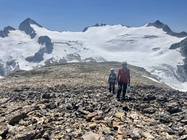
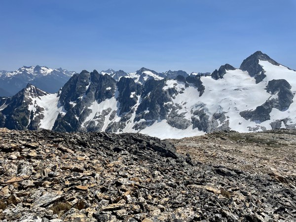
We arrived back at camp at 3:30 PM.
Day 3 Colonial Peak, 2,083' elevation gain
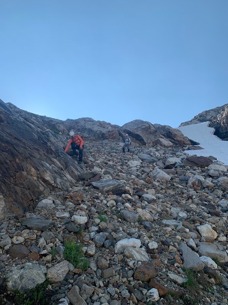
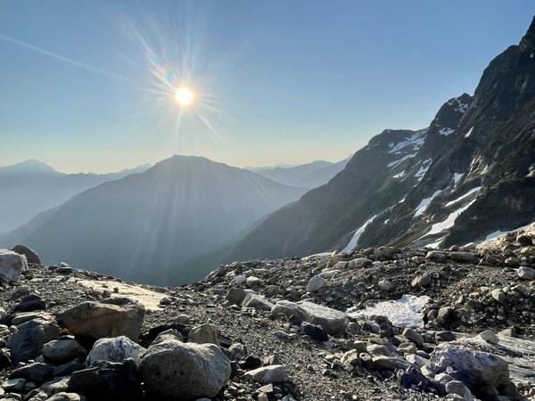
Four party members opted to summit Colonial Peak on Day 3, leaving camp at 3 AM. We started up the ridgeline following an intermittent bootpath and took the path of least resistance. The path included a mix of dirt, scree, boulders, and short solid rock sections until we stepped onto the snowfield at about 6,500 feet (which was well above this picture taken on the descent).
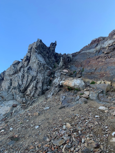
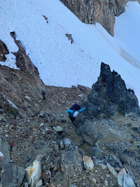
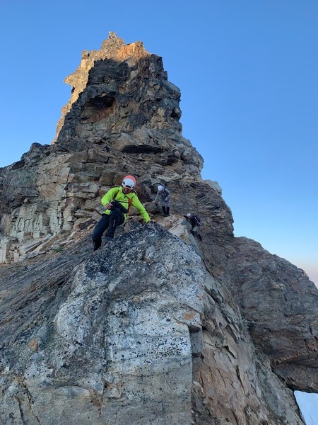
Then we continued to the summit on the right side of the ridgeline on a mix of loose dirt and boulders.
The pinnacle in the middle of this picture is on the same ridgeline and is what is visible from camp and the lake below:
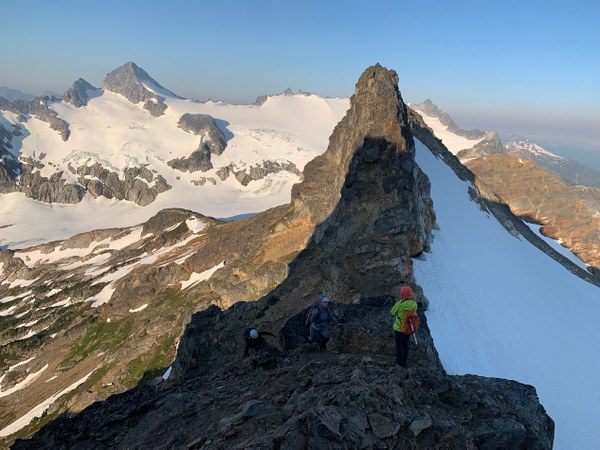
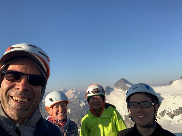
Day 3 (part 2): Camp to trailhead, 5,505' elevation drop
We departed camp around 10:10 AM and arrived back at our cars at around 3:30 PM. The most notable thing about the descent was that very large blocks of snow and rock had fallen from Pyramid Peak onto the route at some point over the prior two days. It reminded us to move quickly on the traverse and not stop until we were no longer under Pyramid.
Wildfire smoke was more evident on Monday, causing scratchy throats, some coughing, and hazy views. At this point we were still blissfully unaware that the road that we were parked on was closed 35 miles to the east on highway 20 due to the fire.
Our successful trip was immediately followed by huge amounts of food at Mondo's in Marblemount.
 Sherrie Trecker