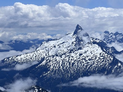
Trip Report
Basic Glacier Climb - Sloan Peak/Corkscrew Route via Bedal Creek
Successful climb of Sloan Peak via the Corkscrew Route.
- Thu, Jun 15, 2023 — Fri, Jun 16, 2023
- Basic Glacier Climb - Sloan Peak/Corkscrew Route
- Sloan Peak/Corkscrew Route
- Climbing
- Successful
-

- Road recommended for high clearance only
-
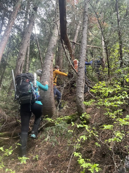
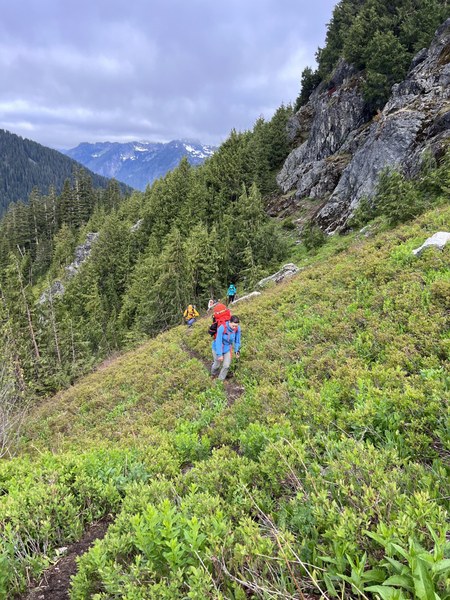
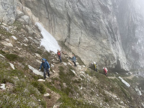
The route is currently in great shape. The bushwhack is not as bad as some reports make it seem. Once you turn up from the creek, there is a climbers' trail marked by pink ribbons which will help you avoid the worst of it. This was much easier to find and follow on the way down. After this comes a boulder field followed by a nice trail through some meadows towards a tarn at 5330'. The snow begins at about 5400'. There are some great water sources between the tarn and the next notch at 5950'. The glacier begins shortly after this notch, it is still well covered and straightforward to navigate. After you ascend the glacier and gain the shoulder, you will find a climber's trail that winds around to the gully on the southwest corner of the peak, at about 7,400'. The gully is still filled with snow, but there are some by pass routes, including the one we took to climbers' right. From here it is mostly class three scrambling with one or two class four spots. The rock can be pretty loose in places so caution must be taken before pulling on anything. There are a few cairns that can aid with route fining, but it seemed like a lot of variations will go.
First and foremost you must access Mountain Loop Highway through Darrington to get to the Bedal Creek Campground. If you try to access through Granite Falls, Mountain Loop Highway becomes impassable due to some downed trees. We learned this the hard way and added a couple of extra hours to our drive in. Once you pass the Bedal Camp Ground the road becomes pretty rough and we had some trying moments, even in high clearance Subarus, but we eventually made it to the TH. We got 3-4 hours of sleep before waking up and beginning our climb, we were on the trail moving by 4:15AM.
The sun was out before we knew it and we enjoyed a pleasant walk along the creek to the beginning of the 'bushwhack'. We were relieved that this wasn't as bad as some reports say, we did a pretty good job following the climbers trail up and only had one or two short shwhacky sections. Not bad at all. We made it to the boulder field and traversed along a nice trail through some meadows towards the tarn at 5330'. We reached the tarn at 7:15AM and took a short break for food, sunscreen, and bug spray. We then made the traverse over to the next saddle at about 6000'. We roped up here at 9:15AM and headed for the glacier.
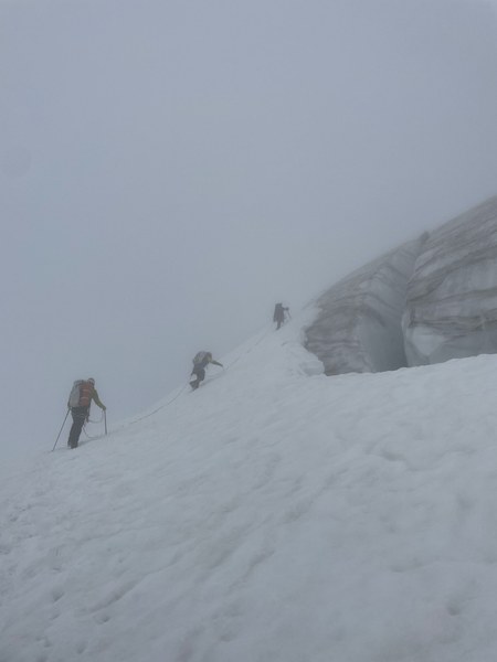
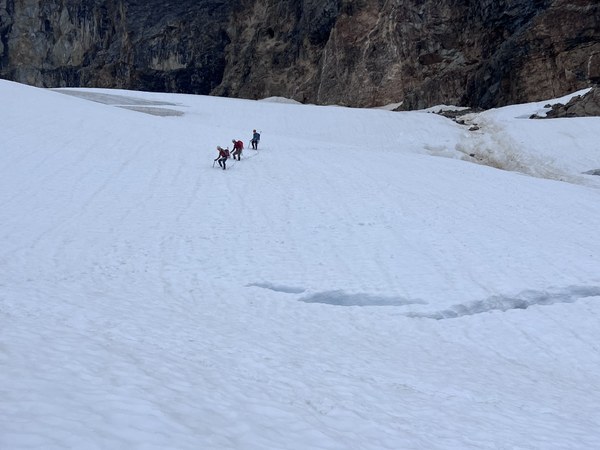
We had limited visibility which made the glacier a little more challenging to navigate. There is some rockfall hazard up and climbers right of the glacier, and since we could not see what was above us, we decided to stay low and traverse towards the center of the glacier between 6600'-6800'. This lower route involved crossing a short 35-40 degree section between two crevasses before the terrain became milder. The ice of the glacier was visible where we crossed, but there was enough snow to be able to get a good self-belay and kick good steps. This might get sketchier as more snow melts. We eventually gained the shoulder and stowed axes and other gear here, preparing for the final rock scramble.
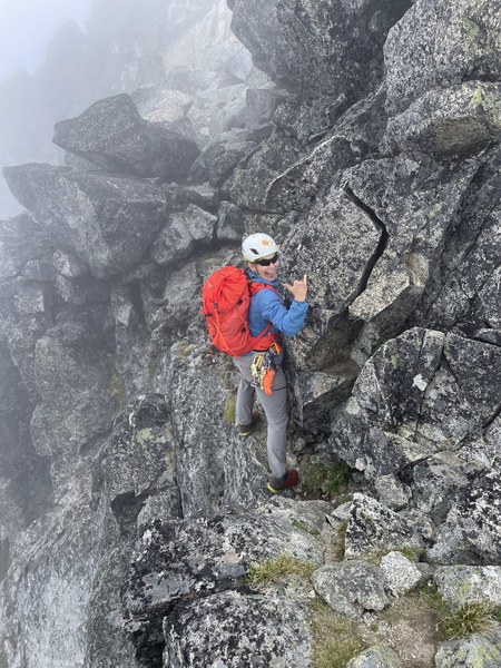
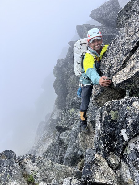
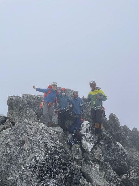
We winded around, along a climber's trail, to the gully at the SW corner of the peak. The gully was still filled with snow, and we were without axes, but we found a nice bypass to climbers' right. It was a bit of a choose your own adventure from this point to the summit, but there were a few helpful cairns too. The rock was loose in a lot of locations so we proceeded carefully. It was mostly class three with one or two class four spots. The famous 'bear hug' move near the top felt very secure and was a lot of fun. We summited at 12:30PM, signed the summit register and began our descent.
We did not want to down climb the steep, crevassed section; so we stayed high on our descent of the glacier. This was much more straightforward and easier walking, but also more exposed to potential rock fall from above.
From here we followed our ascent route all the way back, and made it to the cars at about 6:15PM. We completed the climb in 14 hours at a comfortable pace including multiple breaks to snack, rest, and filter water. Even though we had no summit views, this was still a great one day climb with a fun group!
 Angel Burr