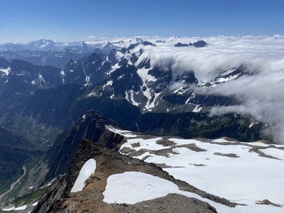
Trip Report
Basic Glacier Climb - Sahale Peak/Quien Sabe Glacier
A beautiful climb, wonderful wildflowers, and a fantastic team!
- Wed, Aug 5, 2020
- Basic Glacier Climb - Sahale Peak/Quien Sabe Glacier
- Sahale Peak/Quien Sabe Glacier
- Climbing
- Successful
-

- Road suitable for all vehicles
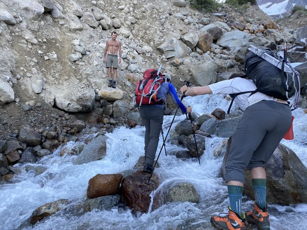
Thank you, Peter Tran, for your helpful advice before the trip! We began our climb at 4:30 AM from Boston Basin. The trail was steep, but mostly easy to follow except for logs to climb over and three stream crossings. The water level was quite high and only a couple of us managed to get through it with dry feet. Luckily we were warned about this by Peter and brought extra shoes and socks. We walked up and down the stream, but the best crossing appeared to be close to the trail.
We roped up and wore crampons for the Quien Sabe Glacier. It had a few crevasses that were easy to walk around (see below for GPS). We did not need to place any pickets.
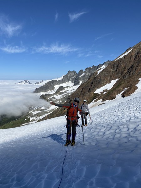
We took our crampons off to climb the rock scramble, then put them on before the final steep snowfield.
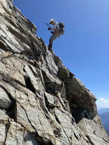
The rock climb at the top was very dry and easy. We slung a constriction to use as a belay anchor and I led it placing just a .4 cam. There were three new-looking cordelletes around a pillar at the top that I used to attach the handline for the participants to prusik up. I think we were all on top by 12:30 PM.
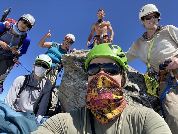
We rappelled using our two 30 meter glacier ropes tied together off the other side (towards the Sahale glacier). From the end of the rope we had to do a 3rd class scramble down to get back to the snowfield. Make sure you tie knots in your ropes!
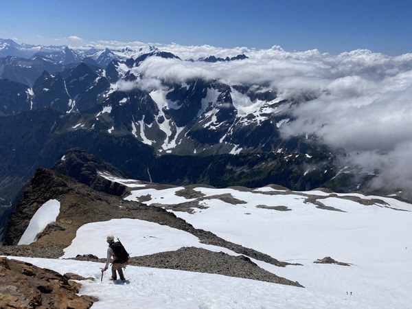
The snow above and on Sahale glacier was soft and did not require crampons.
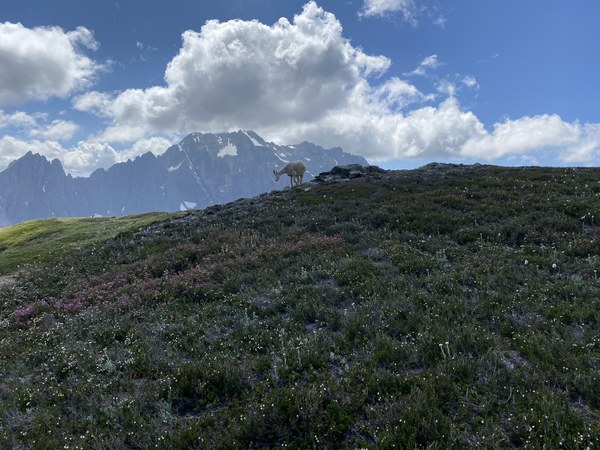
The hike down the Sahale Arm trail was gorgeous with ample wildflowers, marmots, and a very good-looking goat.
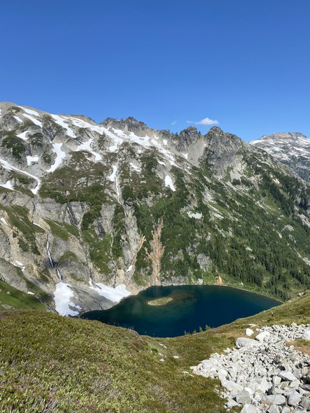
We arrived at Cascade Pass Trailhead at around 5:30 PM, so our car-to-car time was about 13 hours.
Thank you to Erica, Jin, Eric, Mark and Bill for your wonderful, positive company! What a great day!
Here is our track (plus a bit extra since I forgot to stop recording when driving out :)
I made a track named Track (8/5/20, 4:31:38AM) in Gaia GPS. You can view a map of it on gaiagps.com.
To use this track in Gaia GPS:
- Open the link above on your computer.
- Make sure you are logged in, and click "Add to My Tracks" in the top left corner of the track page.
- Open Gaia GPS on your mobile device, and the track will sync to your app if you are logged in.
 Lauren Allen