Trip Report
Basic Alpine Climb - Warrior/Southeast Summit
An excellent alpine experience in the Olympics with a little bit of everything: groomed trail through movie-set like old growth (check); idyllic camping in flowered meadow (check); 2000 ft plus elevation gain through talus/scree hell and steep snow (check); fourth class rock finish with heart-stopping views (check).
- Fri, Jun 21, 2019 — Sat, Jun 22, 2019
- Basic Alpine Climb - Warrior Peak/Southeast Summit
- Warrior Peak/Southeast Summit
- Climbing
- Successful
-

- Road suitable for all vehicles
-
Almost all of the approach, with the exception of the last approximately 2 miles, is on maintained trail. The last push to the summit, however, is a mix of talus, scree and (as of this writing) steep snow through which you will gain more than 2000 feet in elevation. Currently the snow conditions will allow you to access the easier scramble route on the far east side summit block rather than having to ascend very steep snow (with a very long and unsavory looking run-out) to gain the unprotectable face climb. Questionable how long this other option will last given the growing moat problem on that east side.
A very experienced party of six set off under ideal conditions from the Upper Dungeness Trailhead. We traveled seven miles on very nicely maintained trail through old-growth forest and blooming rhododendron to our destination for the evening: Boulder Camp.
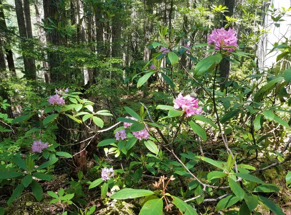
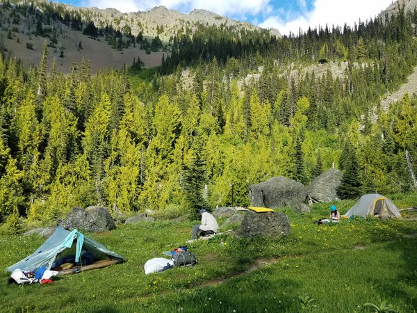
Trailhead to Boulder Camp took about 3 hours. Camp was a flower-festooned meadow with a running stream where we simply chilled. Boulder Camp is outside the Park so no permit or bear canisters were required (but we took precautions with bear-proof bags and hung them anyway).
The next morning we set off at 5 am for our objective, the southeast peak of Warrior. We followed a clear trail (labeled from camp as "Home Lake") out of camp for about 2 miles.
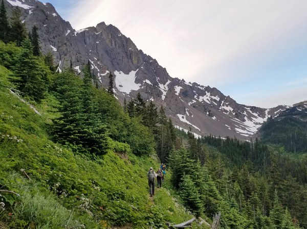
After crossing three streams, we continued on the trail until we emerged out of the woods to face the beginning of the boulder-field ascent that will take us due east. We left the trail here and headed up the boulders to a band of cliffs, eventually swinging climber's left under those cliffs.
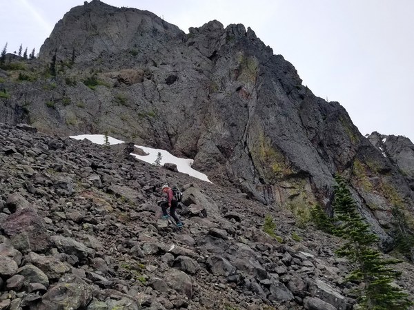
Once clear of the cliff band, the party swung back slightly north to aim for a cirque under a peak with cool spires.
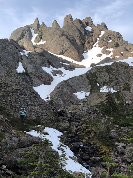
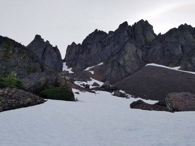
There is running water at the cirque to filter more either on the way up or back down. From the cirque we turned northward and climbed a couple of hills to finally get a visual on the two peaks of Warrior and the obvious couloir that would take us to the saddle in between. The southeast peak is on the right of this picture:
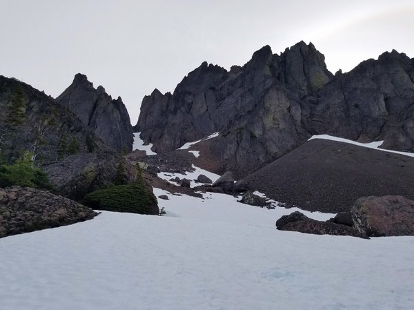
The slog up the couloir consisted of about 200 feet of steepening snow with a delightful slippery scree finish.
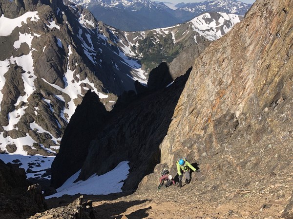
Once at the saddle, we took a view and the options to gain the southeast summit. The choice was pretty clear to go for the far eastern side scramble route, traversing the snow, rather than try and go further up the snow for the face climb, which the last known party had attempted.
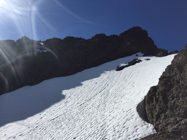
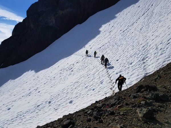
We found a gully on the far eastern side that appeared it would go, but required us to first climb into a moat and then clamber up and dagger one last steep snow finger.
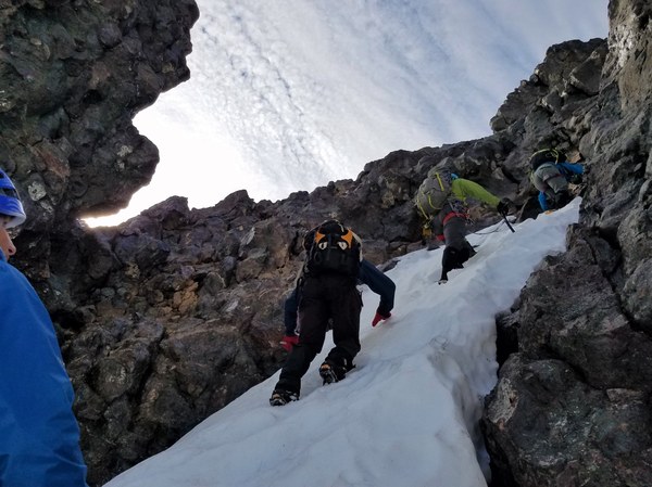
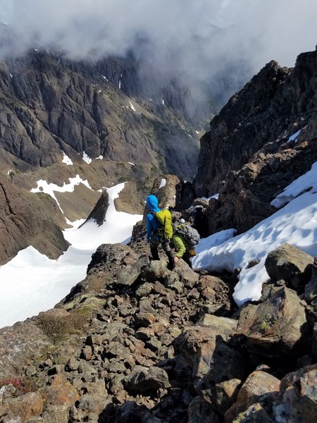
The final scramble was third class plus depending on the adventure you chose to make your way to the top.
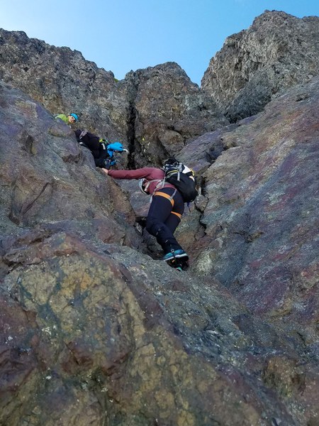
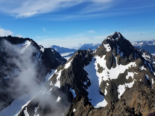
The work was rewarded with amazing views of the Olympics.
With careful down climbing, we made it back to camp and then out to the trailhead.
Camp to summit was five hours. Summit back to trailhead, with stop at camp to refresh and pack, took twelve hours. What an amazing outing!
 Katheryn Frierson