Trip Report
Basic Alpine Climb - Sloan Peak/Corkscrew Route via Bedal Creek
This was a fun climb of a very scenic mountain that I've been admiring from afar for some time now. Was good to finally get up there!
- Sat, Jul 17, 2021 — Sun, Jul 18, 2021
- Basic Alpine Climb - Sloan Peak/Corkscrew Route
- Sloan Peak/Corkscrew Route
- Climbing
- Successful
-

- Road recommended for high clearance only
After having read the beta about groups being turned around with creek crossings we opted for the Bedal creek approach. The road getting up there is pretty rough in spots which wasn't a problem for my outback but did stop a 2wd sprinter from getting up and slightly delayed our departure. Recommend high clearance 4WD/AWD or meeting below the FS 4096 road.
After reading a few trip reports I was slightly concerned about how bad the bushwhack would be but it really wasn't bad at all, just one tricky spot. The lower trail has some deadfall and is overgrown if a few places but overall easy to follow. Once the trail turns up there are flags everywhere. This uphill portion is steep but is a decent climbers path, not too overgrown and mostly easy to follow until around 4,500'. At this point the trail and flags become harder to follow which led us into a short brushy section which consisted of blueberries and sub alpine trees, no devils club or slide alder, so it really wasn't too bad.
Once you've hit the boulder field you're through the schwack. Scramble up the boulders and follow the trail through a beautiful alpine meadow, past the lake and to camp on easy to follow trail. There are several very nice spots to camp up there and the views don't disappoint. We found running water everywhere.
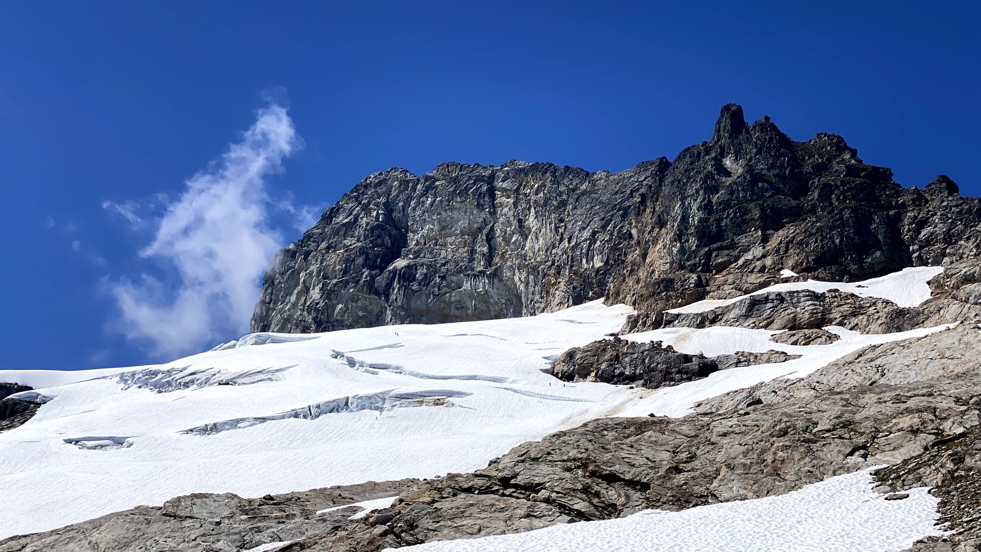
Photo of 2 teams of 2 descending. We started in this lower right location and traversed up and to the left and above the large crack in the upper left of the pic.
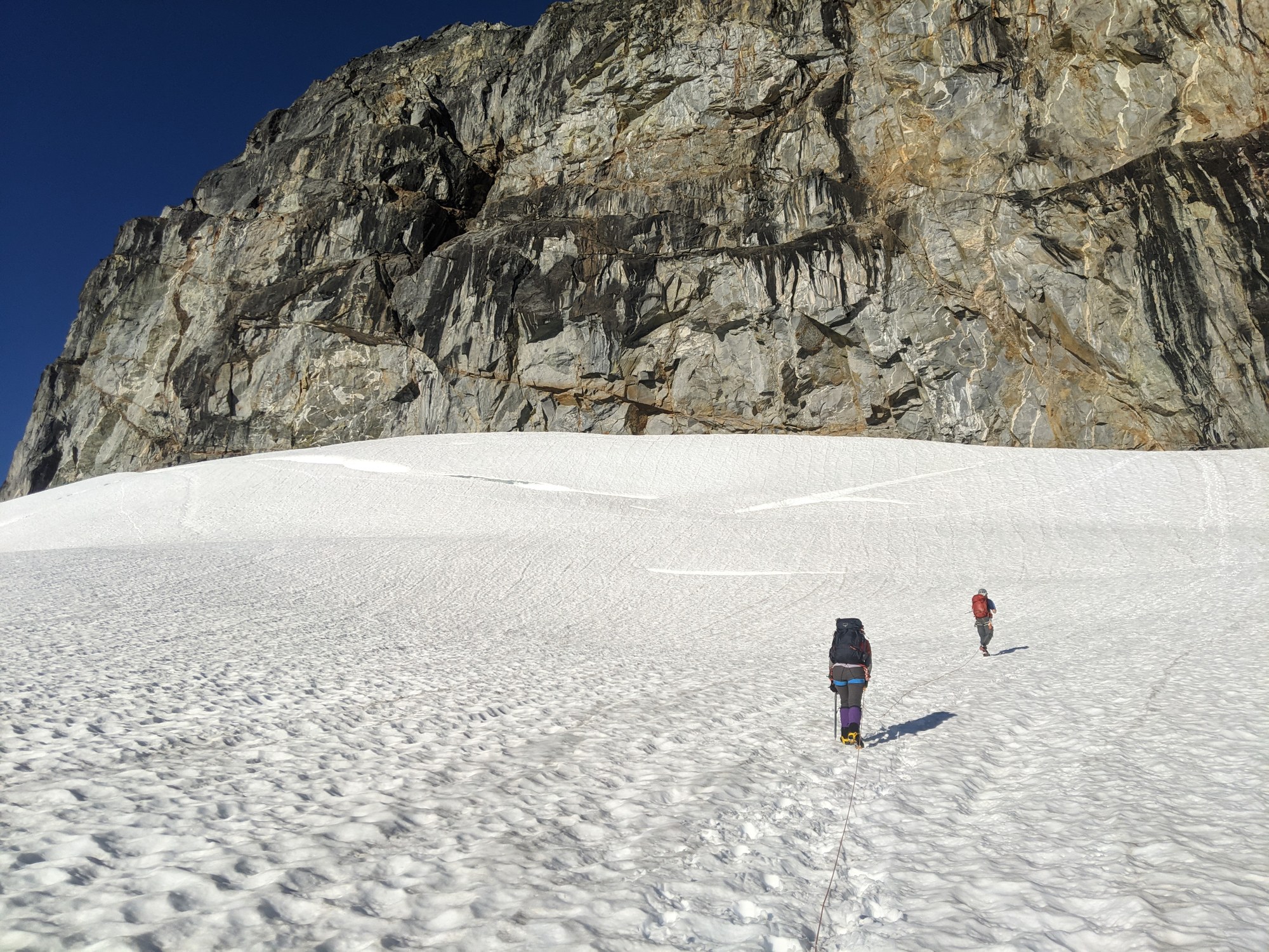
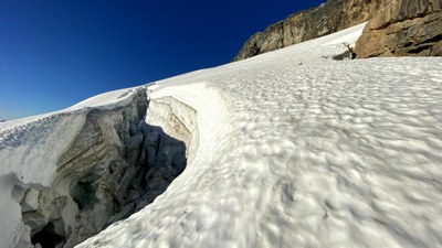
Above the large crack there were some other obvious cracks in the center and left of this pic that had obvious boot path through them. Given the high freezing level and likely thinning snow bridges we went right to get above this area. When snow bridges are thicker up to the left is likely the best route since going above this area is a rock fall zone. The rock fall zone was short and relatively flat so we were able to move through quickly which gets you off the glacier.
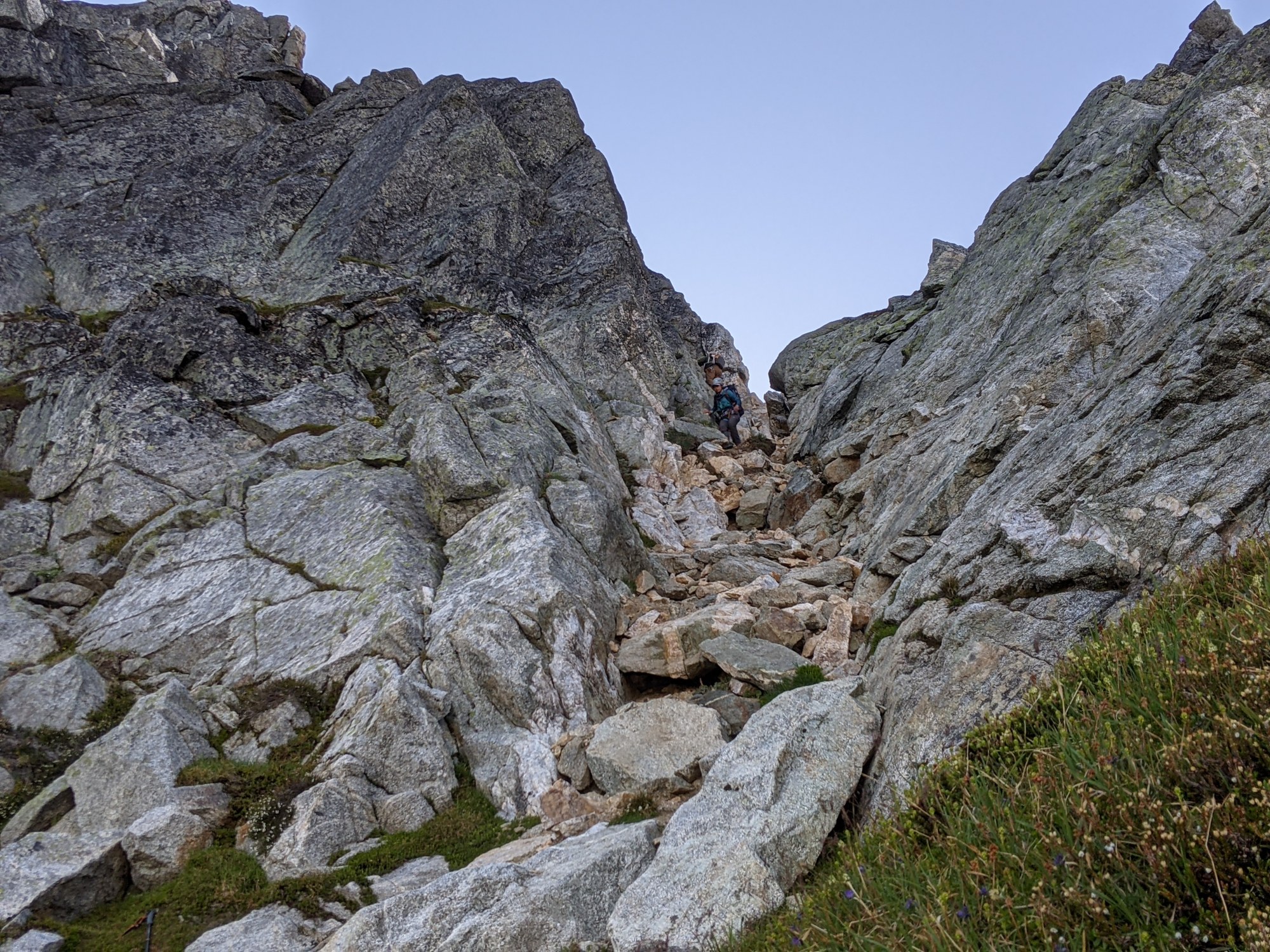
The scramble route to the summit was pretty well traveled and mostly obvious. The first gully you come to has some pretty loose rock that we descended in groups of 2 to avoid kicking rocks on each other, and we were dislodging rocks so this was a good call.
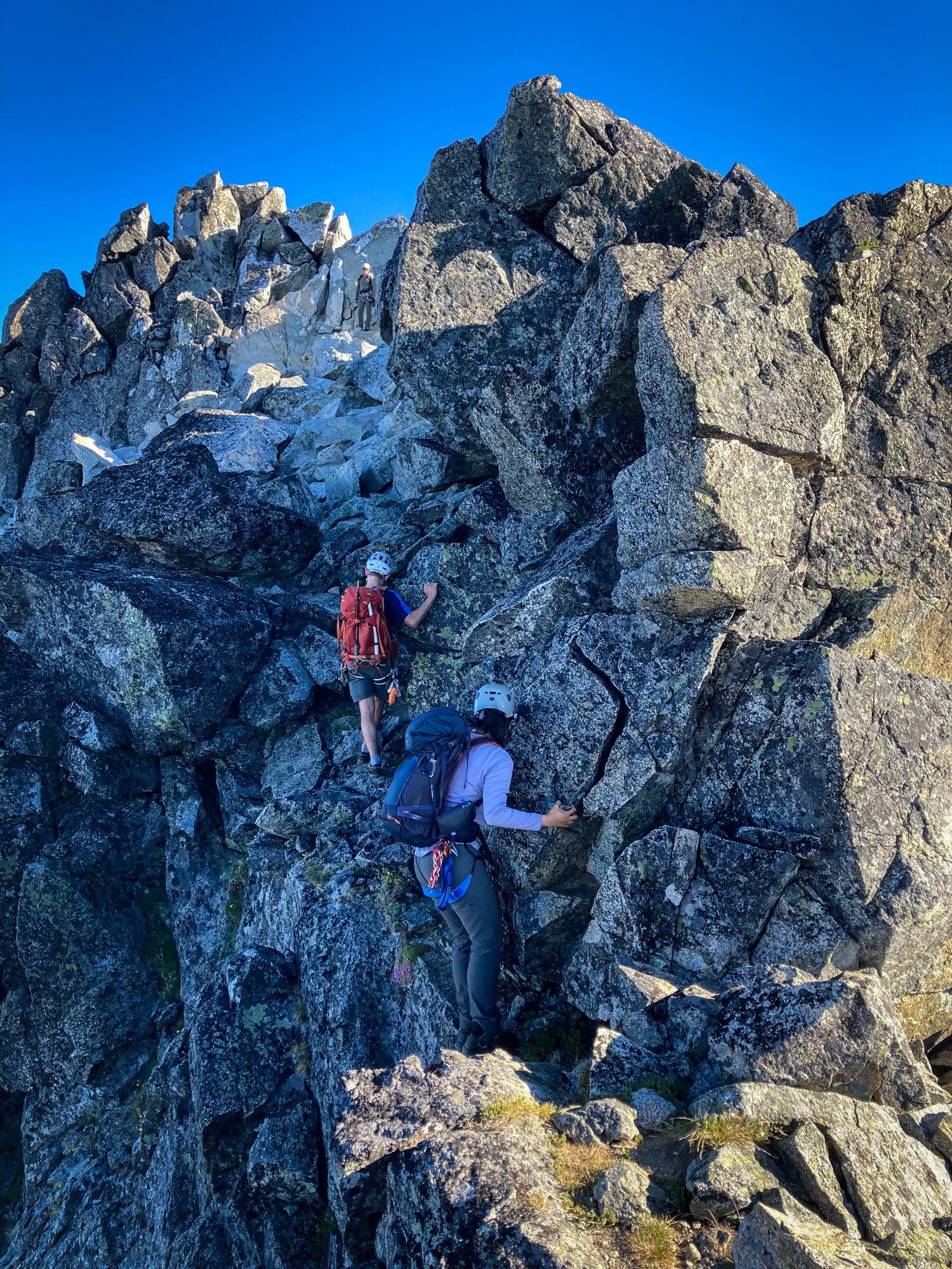
Pic of the bear hug move right below the summit. Once above the first gully the rock quality improves and is very nice for the final push to the summit. I'd say there were maybe 2 easy class 4 moves through this area.
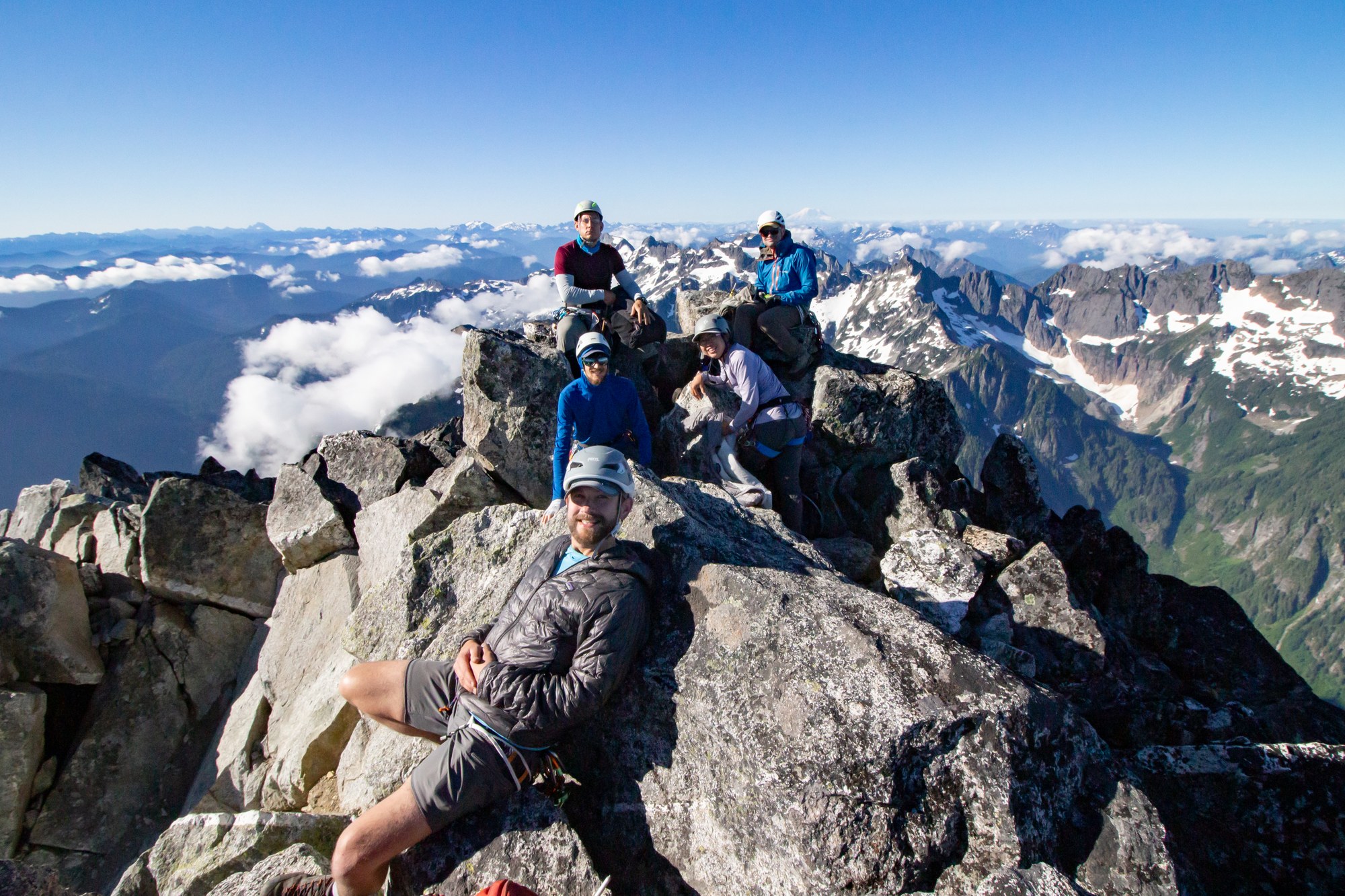
Summit :)
The descent was straight forward back the way you came. Once you get back below the boulder field and are going back into the trees watch hard on skiers right for a faint trail. This worked better than what we did on the approach but was still a bit brushy. There probably isn't a great way to get through this area but keep pushing down and to the right until you find the flags again.
We had a fairly fit party and our times were roughly: 2:45 car to camp, 2:30 camp to summit, 1:30 summit to camp, 2:30 camp to cars. This route would be easily doable in a day with a fit/efficient group, but we enjoyed camping in a beautiful spot and what turned out to be a leisurely two day climb.
Map:
 Chris Haenisch