Trip Report
Basic Alpine Climb - Reynolds Peak
Lovely peak, but better done earlier in the season when more snow is present.
- Sat, Jun 30, 2018 — Sun, Jul 1, 2018
- Basic Alpine Climb - Reynolds Peak
- Reynolds Peak
- Climbing
- Successful
- Road suitable for all vehicles
-
Long drive to the TH. Totally paved till last mile or so, but the gravel is well graded. Unfortunately the last 1/8 mile or so has some overgrown branches that scratch up the car. Small parking area that fit about 10 cars at the most. It was full by the time we arrived at 5:15am so had to resort to parking about 1/8 mile down the road in a pullout that fit 3 cars.
This was a Plan B destination when weather did not allow us to climb Rainier. We did this as a 1 day climb via the S Fork of Reynolds Creek on 7/1/18. Although our intention was to spend the night before at Mystery Creek CG, we spent it at War Creek CG because the 4 sites at Mystery were taken by the time the first group arrived at about 4pm. This turned out fine.
We started our hike down the Reynolds Creek Trail at about 5:45am. The trail started nice enough, but we soon encountered downed logs and overgrown brush that obliterated the trail occasionally. About 2.5-3 miles and around 4800' we left the trail and descended to Reynolds Creek where we found a log to cross it.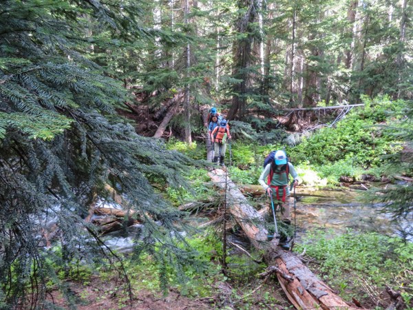 We now basically followed the South Fork of Reynolds Creek keeping it to our left until we came to a basin at about 5700'. We went a little too high in the beginning and encountered many more fallen trees and bushwacking. Once we got closer to the creek, it was easier.
Once at the basin,we finally got a view of our destination, but we still had to battle the alder as shown in the photo below. Definitely no fun. We found an easier way through it on the way down, but I really can't explain the route for that. 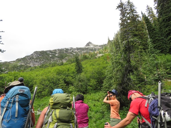 Once past the hundred feet or so of alder, we saw the obviously gully we were going to use shown in the picture below on climber's left.
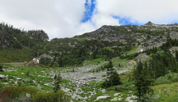 A stream was running down the gully, but it wasn't a problem walking in it or on its side. The saddle (6700')was in soft snow. Several people decided to stop here while the rest continued up after some food. It is 12:15pm now and another 1800' or so to the summit. We head NW from the saddle going over a few large sections of soft snow.
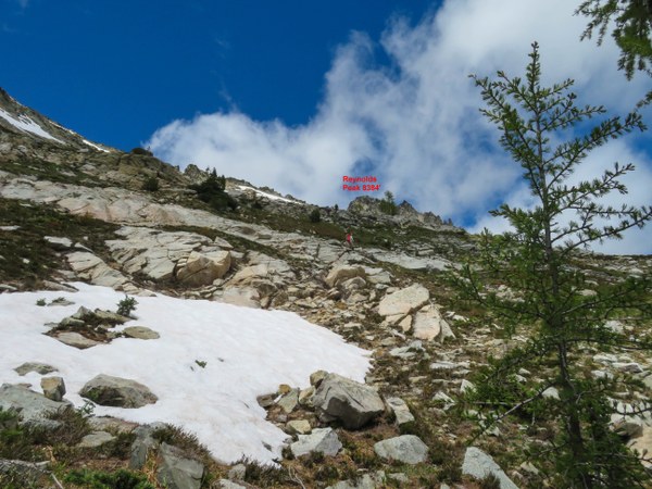
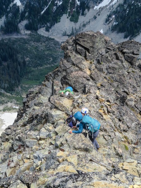
 Then up the gully full of loose rock and then the fairly solid east ridge to the summit. We definitely made sure to test every rock we grabbed.
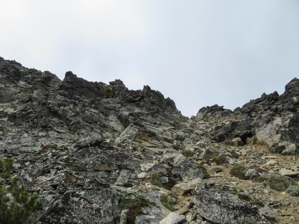 First couple of people arrive the summit at 2:15pm and the last at 2:30pm. Looking down at where we came from.
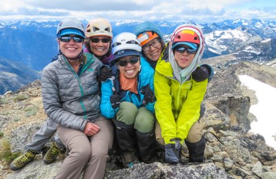
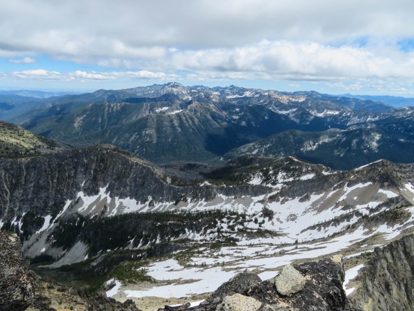 A summit photo.
 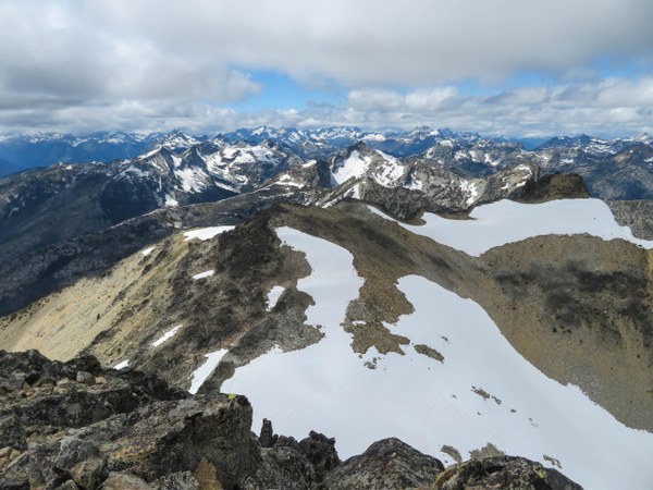 We depart the summit around 3pm.
 It takes a while to get back and the entire trip often feels like an obstacle course, but we're finally back to our cars by 9pm. It's another 4.5hrs before Mark and I step into our house in Seattle at 2:30am. One participant's GPS reads 6400' gain and 13 miles. Seems on the high side, but it definitely was quite a day!
 Susan Shih