Trip Report
Basic Alpine Climb - Mount Watson/North Face
Mt Watson climb September 29 2018.
- Sat, Sep 29, 2018
- Basic Alpine Climb - Mount Watson/North Face
- Anderson Lakes, Watson Lakes & Mount Watson
- Climbing
- Successful
-

- Road suitable for all vehicles
-
The Road is a bit potholed and rough in places but an average car can make it without problems. The trail and climbers trail are generally well marked and easy to follow. The rock slabs approaching Mt Watson, where the glacier has retreated from, can be slippery when wet but otherwise are pleasant rock scrambling and route finding through the glacial debris.
This was my 3rd attempt at Mt Watson. The first two turned around due to conflicting (or generally absent) route information as to which summit is the actual true summit. in the last year more, and more accurate, route information has been surfacing and our attempt this day was straight forward and pleasant over all.
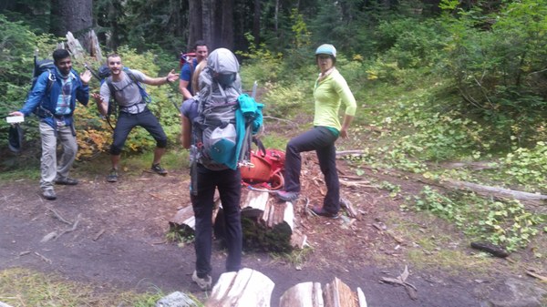
Take the Watsons/Andersons Lakes trail until you reach the saddle above Watsons lakes (4,760'). There is a large tree across the trail here that has a section cut out of it for the trail to go through. Go right here on the faint (but quickly improving) climbers trail. This will head up the ridge and make a long contour south and then SE towards Mt Watson. 
When you reach an open meadow at 5,000' the trail will disappear. find the trail again on the left side of the meadow heading up to the left of a small gully. 
Note that there are some GPS tracks that will say to continue to upper Anderson Lake and then take you up both of two gullies from there (left side of the first lake as you approach them). Both of these also work but are unpleasant and steep, and the route is shared with the streams flowing down them.
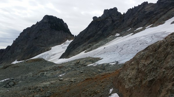
Follow the regained trail up and over a saddle. it will essentially end at this point and you will leave the woods for the open glacial moraine. Follow GPS tracks or look for Carns to pick your way across the rock slabs and ridges to the base of the Glacier remnants on the north side of Mt Watson peaks. From here do a rising traverse to the large col between the dominant East summit and the jumbled western summits (5,920').
(view from the toe of the glacier. Aim for the the glacier finger on the middle left below the East summit)
At the Col scramble the ridge on the left side up easy heather and treed slopes for about 15 minutes to the the basin below the true summit of Mt Watson.
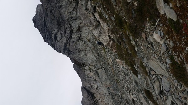
Traverse the basin to a heather gully on the left side of the summit block and ascend to the top of the gully and through a very tight "squeeze tree". Note: half of our party left our packs at the basin and had no trouble getting through this thick tree. Those with packs struggled considerably to get past its twisted branches.
(note the heather gully on left skyline of Mt Watson)

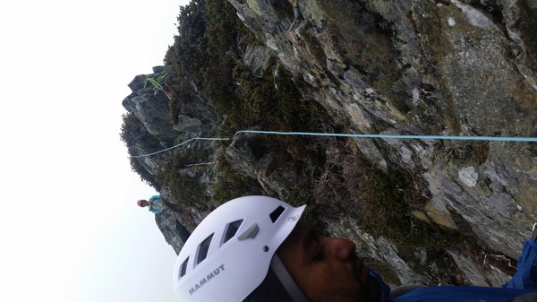
Once through the tree ascend an easy dirt gully for 10-15' to the final summit ridge. From here the summit is obtained by a short 30' class 2-3 ridge with considerable exposure on both sides. We strung a fixed line from the gully to the summit and clipped to the rope with carabineers.
(Fixed line on the summit ridge. Climber at top is on the actual summit)

The summit is small and barely held our party of 6. Descent was via the ascent route back to the cars.
Gear - we did not rope for the glacier but needed crampons due to the considerable exposed glacier ice. There were several large crevasses but they were very easy to avoid and the glacier is mostly stagnant. Other than the final summit ridge there was no need for any technical gear at all. If I did this route again I would just bring a scramble rope, a couple double runners, and a cordelette for a fixed line at the summit and not any other gear. The fixed line was tied off with runners around the summit rock on one end and a tree in the gully on the other end. No pro is needed on any part of this route.
If not for the glacier this would be a T4 scramble. However, the views are amazing and this is a very seldom traveled area. On all three of my attempts we did not see anyone once we left the Watson Lake trail other than a tent in the upper meadow on the third attempt. This is a trip worth repeating or combining with a 2 day climb of Bacon Peak, as you traverse directly under it on the way to and from Bacon.
Cars to summit - 4 hours
Summit to cars - 2.5 hours.
 Mark Scheffer