Trip Report
Basic Alpine Climb - Morning Star Peak/South Ridge
Close up views of Del Campo, Gothic Peak, Vesper, Sperry and others. Steep snow and areas of exposed scrambling during this time of the year.
- Sun, Jun 20, 2021
- Basic Alpine Climb - Morning Star Peak/South Ridge
- Morning Star Peak/South Ridge
- Climbing
- Successful
-

- Road suitable for all vehicles
-
The Sunrise Mine TH isn't all that large, maybe 5 cars and then parking available on the side of the road. Toilet there, but was closed. NW Forest Parking Pass or equivalent required. Our route.
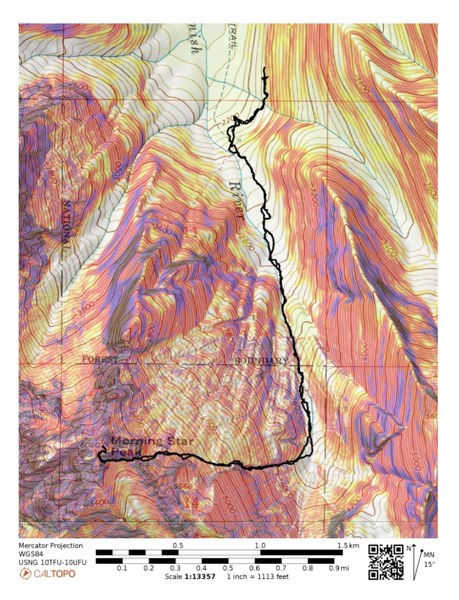
The 6 of us started down the Sunrise Mine Trail at 7:15am. We cross our first creek about 1/8 of a mile down the trail.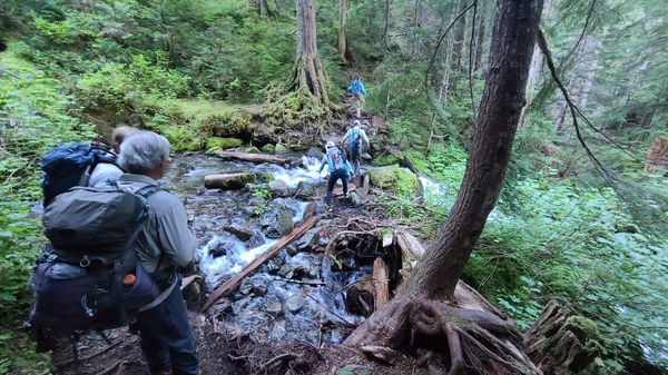 At about 1/2 a mile, we intersect the trail that heads for Vesper. At this point, look for a narrow path that stays on the east side of the S Fork of the Stillaguamish River. It soon breaks out of the trees into open meadow and a beautiful view of Del Campo.
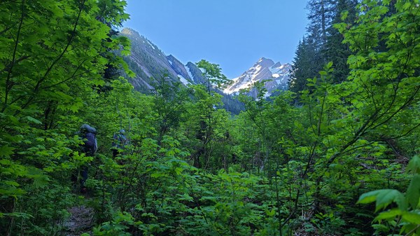 The flowers and ferns have just sprouted and are lush and green. And lucky for us, no mosquitoes yet. The bootpath we're following begins to get more faint, but continues to come and go.
 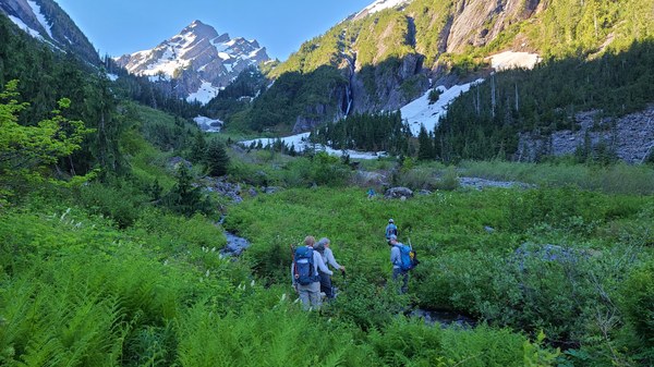 Coming to snow and a great waterfall view. There is a lot of avy debris and the snow is quite lumpy and hard. It's been sloughing off the slabby slopes all winter.
 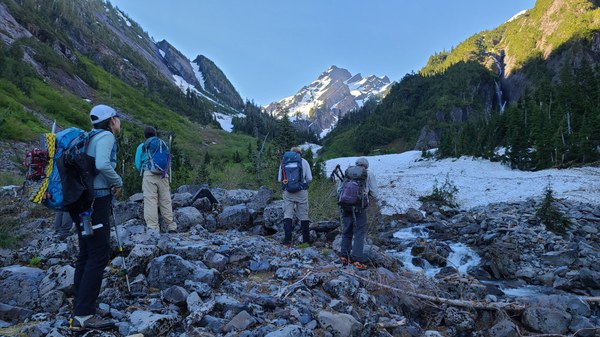 Around 2700' we can't follow the bootpath anymore and have to do some bushwacking for about 15-30 minutes. Don't remember exactly how long, but it wasn't bad. If we could have crossed the river, we could have avoided the bushwack, but it didn't feel safe to do so. A photo of us bushwacking on the return.
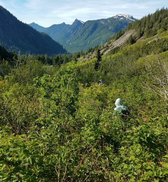 At about 3000' we see the large house sized boulder several people write about. From there, some tracks will start angling up towards climber's right instead of following the river to the basin. I read that route has more bushwacking so we decide to continue up to the basin. Photo below has the boulder circled.
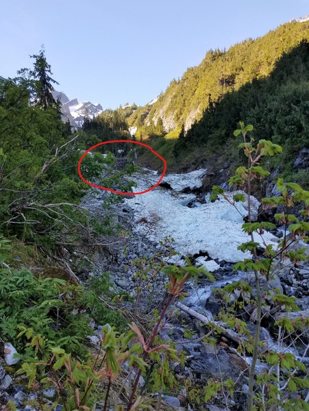 Negotiating past the debris, the river and getting near to the basin.
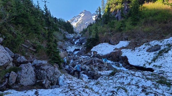 At the 3700' basin. What a gorgeous view of Del Campo.
 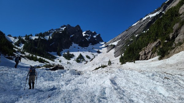 We'll take a sharp right here and head up this gully. I think the tip of the summit can be seen from here, but not 100% sure.
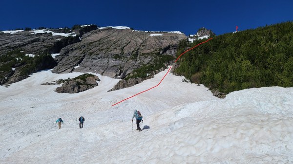 Most of the gully is covered in firm snow, but there is a short section that's melted out. Water is running down the middle of the gully, but not to feel dangerous.
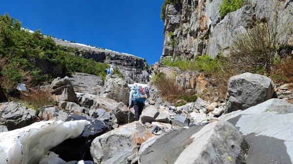 Continuing up to the headwall as seen ahead.
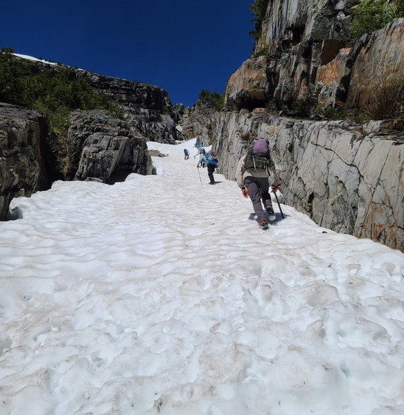 At the headwall (about 4400') you can go the more sporty way and climb straight up or go around through the trees on snow to reach the flatter terrain above. Most of us chose to go through the trees and everyone did so on the return. Getting on to the rock was not a problem.
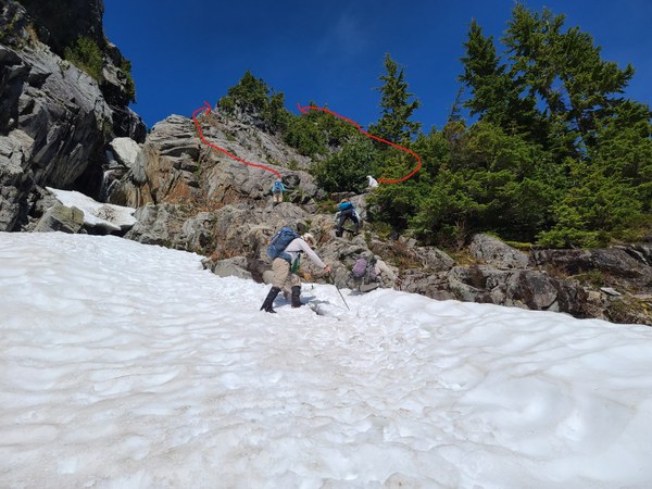 Not far from this flatter section, you can now see the summit. Head for the notch below the summit where you'll have to lose about 100'.
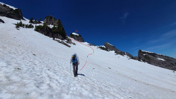 The views have really started now.
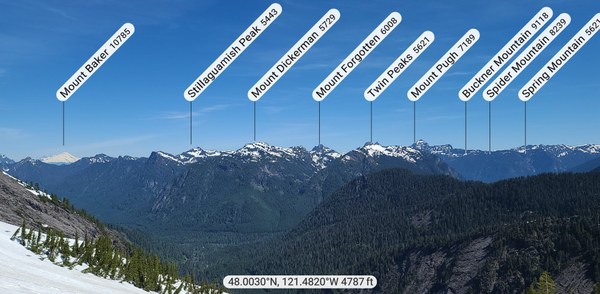 Closer look at the notch and summit.
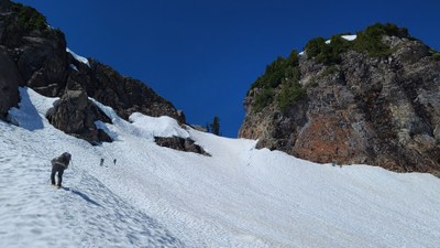
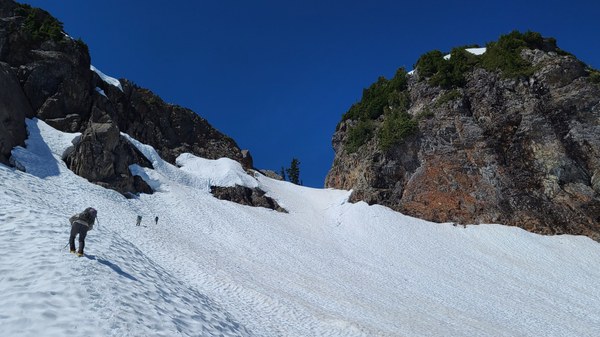 From the notch, go up the steep 45 degree gully. Although the snow was in good condition, everyone used their crampons at this point.
 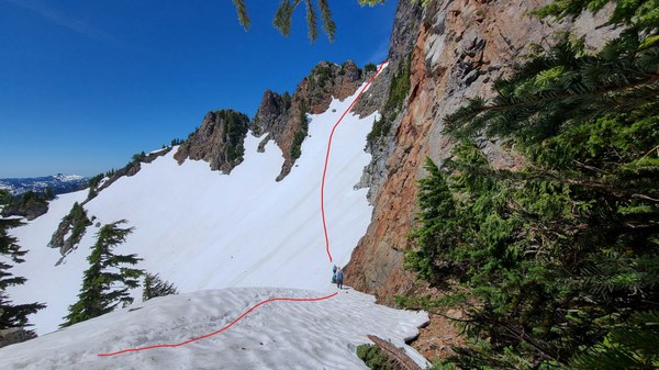 Once on the the ridge, it's another 200' of steep climbing heading north to the summit. Drew almost at the summit. We think that may be Spada Lake below.
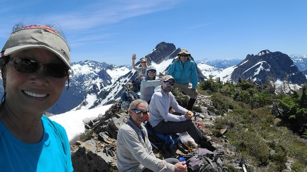
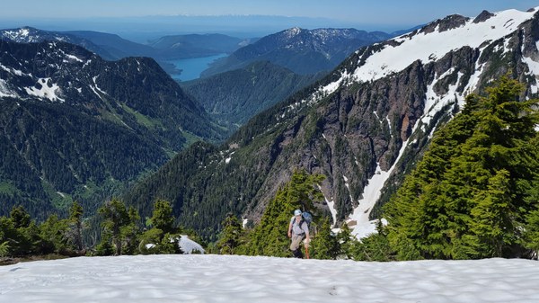 View are amazing on this clear day.
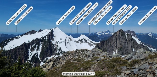
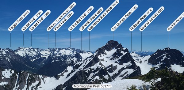
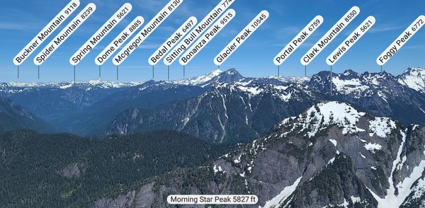 After about a hour on the summit, we take our time going down the steep slopes. Once on gentler terrain, we're able to glissade a few short portions.
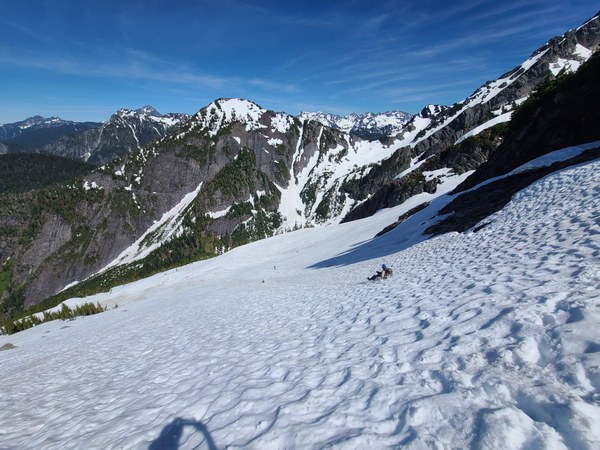 Down the gully to the basin and back.
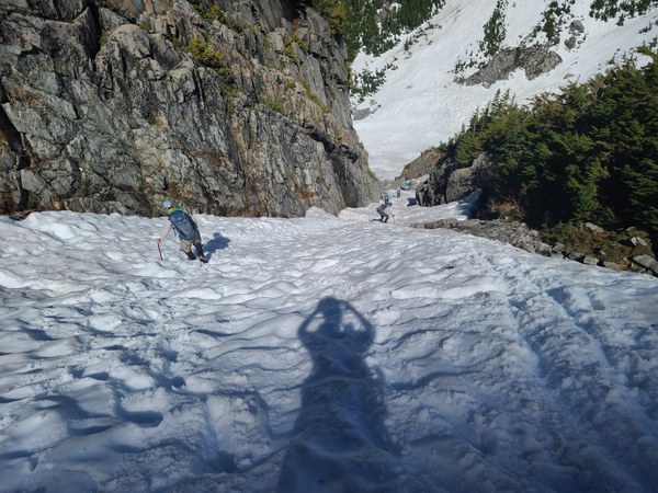 Great group as usual!
 C2C 11 hours with a hour on the summit and many more stops when my stomach started acting up.
My GAIA read 5.5 miles with 3850' gain.
 Susan Shih