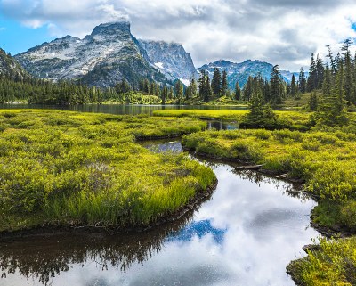
Trip Report
Backpack - Middle Fork Snoqualmie River to Salmon La Sac via Dutch Miller Gap
A five-day one-way backpack from the Middle Fork near North Bend to Salmon la Sac near Rosyln, with the objective of visiting the heart of the Alpine Lakes Wilderness including the west-east passage at Dutch Miller Gap and north-south passage at La Bohn Gap.
- Tue, Aug 8, 2023 — Sat, Aug 12, 2023
- Backpack - Middle Fork Snoqualmie River to Salmon La Sac via Dutch Miller Gap
- Middle Fork Snoqualmie River
- Backpacking
- Successful
-

- Road recommended for high clearance only
-
During this five-day trip traversed the following roads and trails that connect the Middle Fork and Salmon la Sac.
- The entire length of Dingford Road from its western terminus near Garfield Ledges to its eastern Terminus at the Dingford Creek Trailhead.
- The eastern half of the Middle Fork Trail (#1003) from the Dingford Creek Trailhead to its eastern terminus at Hardscrabble Horse Camp.
- The entire length of the Dutch Miller Gap Trail (#1030) from its western terminus at Hardscrabble Horse Camp over Dutch Miller Gap and past Lake Ivanhoe to its eastern terminus at the Waptus River Trail.
- The entire length of the Williams Lake Trail (#1030.1) from its southern terminus at the Dutch Miller Gap Trail to Williams Lake.
- The entire length of the purported Chain Lakes Trail (present only on Caltopo) from its southern terminus at Williams Lake to its northern terminus at La Bohn Gap.
- The entire length of the Waptus River Trail (#1310) from its western terminus at the Dutch Miller Gap trail to its eastern terminus near the Salmon la Sac trailhead.
All trails, bridges, signs, and boardwalks were in good-to-excellent condition with no noteworthy concerns except as noted below.
Dingford Road was as infamously rough as usual, but no worse than that. Over the course of the trip planning and execution we transited the road eight times in three different Outbacks, and all made it without difficulty, though very slowly. The road is 5.5 miles long, and each one-way transit took about 50 minutes. All of our visits were during dry weather; transiting the road in muddy conditions could be more difficult. The entire length of the road is without cell coverage. Most of the route is very scenic. The privy at the Dingford Creek trailhead was in good shape.
Middle Fork Trail (#1003): The bridge over Burnboot Creek just before Goldmyer Hot Springs has been out for years, and its absence is well documented. Due to recent dry conditions we were able to cross easily via stepping stones without having to ford.
The "wet" half of the Dutch Miller Gap Trail (#1030) west of Dutch Miller Gap: There were multiple extended sections that were significantly overgrown ranging from knee high to shoulder high. If those sections are wet with rain or dew then you are likely to get soaked, so it's a good idea to have gators or rain pants handy. Some sections of the trail were very rocky, including a section about a mile west of Dutch Miller Gap that appeared to be located in an all-rock creekbed.
Williams Lake Trail (#1030.1): There is a bee/hornet/wasp nest (not sure which) in the ground at the west edge of the trail about 550' from the intersection with the Dutch Miller Gap trail at about 47.54455, -121.25048. As you are ascending toward the lake the next is on the left edge of the trail. We were able to avoid it by veering off trail to the right.
Chain Lakes Trail: This alleged trail connecting Williams Lake to La Bohn Gap is shown only on Caltopo, which sometimes incorrectly interprets community-sourced GPS climbing tracks as hiking trails. The lower part of this trail follows a very steep overgrown booth path, and the second half traverses a boulder field marked by occasional cairns. The route is steep but not technical or exposed. It took our party about 2 hours and 15 minutes to cover the 1.5 mile distance from Williams Lake to Chain Lakes.
The "dry" half of The Dutch Miller Gap Trail (#1030) east of Dutch Miller Gap: Where the trail passes Lake Ivanhoe there are some steep exposed drop offs immediately next to the trail. The bridge just below Lake Ivanhoe has been out for years, and its absence is well documented. About 50 - 100 feet downstream of the broken bridge we found a place where we could easily cross on stepping stones. Due to recent dry conditions, for us this was the last water for 2.25 miles.
Waptus River Trail (#1310): The bridge over the Waptus River just below Waptus Lake has been out for years, and its absence is well documented. We took the standard bypass along the Waptus Horse Ford Trail (#1329.1) and waded across easily in water shoes. The crossing is about 30 feet across but was only about 8 inches deep with a gentle current. The privy at the Salmon la Sac trailhead was in good shape, as was the road to Roslyn.
We stayed in or passed by the following camps:
Hardscrabble Horse Camp (named "Old TH Camp" on Green Trails maps): This camp is becoming increasingly overgrown since it was decommissioned as a car camping site. It is not especially scenic except for one standout site next to the river. However, it is a serviceable stopover point for parties traveling to points further along the trail. The privy was in good shape but was hard to find. It is located on the extreme northeast edge of camp where the Dutch Miller Camp trail begins.
Pedro Camp: This camp is marked on Green Trails maps but appears on neither Caltopo nor Gaia. We didn't stay here, but the trail passes right through it so we couldn't help but notice. Though not mentioned on online maps, it appears to be a significant, established camp. We observed several large campsites in site of the trail, easy access to water, and signs that indicated a privy. It is clearly marked where a large metal bridge crosses the outlet of a lake, and is impossible to miss. The lake has some marshy areas, so the area might be buggy during parts of the year.
Williams Lake Camp: This is a small privy-less camp located on the west side of Williams lake. Reaching the campsites requires crossing a log over the lake's exit. We found only two tent sites, one on the bluff over the lake large enough for 2 - 3 tents, and one to the northwest of the lake large enough for only a single tent. There was a third open space that is large but does not have any level spots for a tent - we used this as our cook area. We did not find any other tent sites nor a privy.
Waptus Lake Camp: Located at the southern end of Waptus Lake, this enormous camp is more like a village than a backcountry campsite. It is a huge camping area with literally dozens of individual campsites connected by a network of paths. The vibe was positive and friendly, the camp was never loud, and what little noise there was quieted down quickly after sunset. The privy was conveniently located and was in good shape, but was sometimes difficult to find because of the maze of trails through the expansive site.
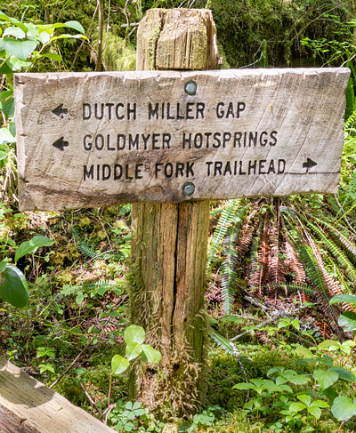 This trip was part of the Seattle Intermediate Backpacking Program. The motivation was to become more familiar with the further areas of the Alpine Lakes Wilderness that are reachable from our local trailheads, specifically North Bend and the Middle Fork. Having done day hikes in the Middle Fork area for years, we wanted to answer the question, "What if, instead of turning around at the end of the day, we just kept going?" From this came the following goals:
- To walk the full length of the Middle Fork all the way to Salmon la Sac.
- To visit and hike over Dutch Miller Gap, the only major east-west pass in the Washington Cascades that does not have a freeway running through it.
- To visit La Bohn Gap, a north-south pass that connects the southern Alpine Lakes (Snoqualmie Pass/I-90) and northern Alpine Lakes (Stevens Pass/Hwy-2). La Bohn Gap is a key part of many longer north-south routes that connect the Stevens Pass and Snoqualmie Pass areas, so we wanted to become familiar with it in anticipation of possible future Intermediate Backpacking trips.
The trip consisted of a four-day walk from the Middle Fork to Salmon la Sac plus a one-day side trip up to La Bohn Gap, for a total of five-days. On the weekend before the trip we staged a car at Salmon la Sac so that we could do the entire trip as a one-way car shuttle.
Day 0: Car Staging at Salmon La Sac
On the Sunday before the trip two members of our party staged at car at our exit trailhead in Salmon La Sac. The Sunday drive was pleasant but unremarkable, except that it was especially fun to visit the Sunday Farmers Market in Roslyn along the way.
Day 1: Middle Fork to Hardscrabble Horse Camp.
Instead of starting from the Middle Fork trailhead itself, our plan was to start from the Dingford Creek Trailhead because doing so reduced our first day's hike from 13 miles to a more manageable 8 miles, and because most of us were already familiar with the first few miles of the Middle Fork Trail. The road to the Dingford Creek Trailhead is notoriously rutted and bumpy, requiring true high clearance vehicles. We had anticipated that, and had scouted the road a couple weeks beforehand. Our pair of Outbacks made it no problem, albeit slowly.
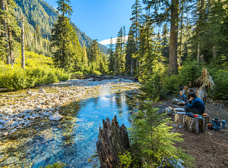
We immediately crossed the excellent bridge over the Middle Fork itself and proceeded east along the Middle Fork Trail with the intention of having lunch at Goldmyer Hot Springs just to see what the place looks like. On our arrival at Goldmyer we found that no food was allowed (in order to keep from attracting animals), so we left Goldmyer and at lunch a few hundred feet further along the trail at a pretty spot next to the Middle Fork. After lunch we continued without incident to our day's destination, Hardscrabble Horse Camp. All in all our first day's hiking was pleasant but typical of most Middle Fork and most lower elevation I-90 hikes. It was pretty, but nothing new to use. Still, it got us closer to our ultimate destination.
Hardscrabble Horse Camp (named for nearby Hardscrabble Creek) used to be a car camping site, and primarily consists of a oval loop (that apparently used to be paved) with a few tent pads off to the side. However, there was also one very scenic tent site next to the Middle Fork River that we used as our cooking area.
Day 2: Hardscrabble Horse Camp to Williams Lake
 Soon after we started hiking it started to rain, and continued to do so through most of the day. So, alas, no pictures. Much of the trail ws through trees as per the previous day, but some sections were through some striking meadows and along some impressive boardwalks. We were surprised to encounter boardwalks so far away from any trailhead. Simply carrying the building materials there must have been a lot of work.
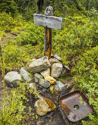
We arrived at Williams Lake camp soggy but otherwise without incident. We appreciated that the sign to Williams Lake was decorated with mining artifacts, presumably as an an homage to Dutch Miller, an early 20th century miner for which the area is named.
Day 3: Williams Lake to La Bohn Gap
The highlight of our trip was an exploration of La Bohn Gap, located above Williams Lake. The route to La Bohn Gap is almost completely off trail, and largely consists of a large boulder field. It was by far the most scenic day of the trip.
In the following picture our ascending route is marked in blue, and our descending route is marked in green. On our way up, we also visited one of the Dutch Miller mines, circled in orange.
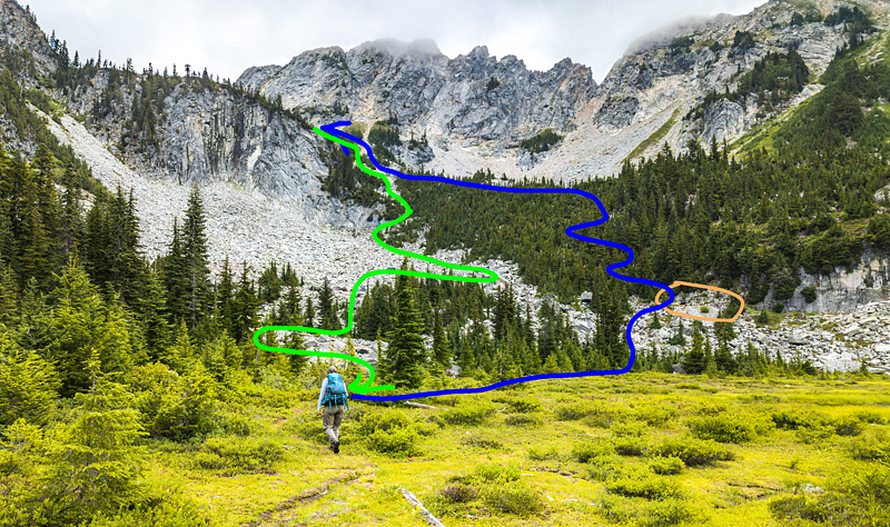
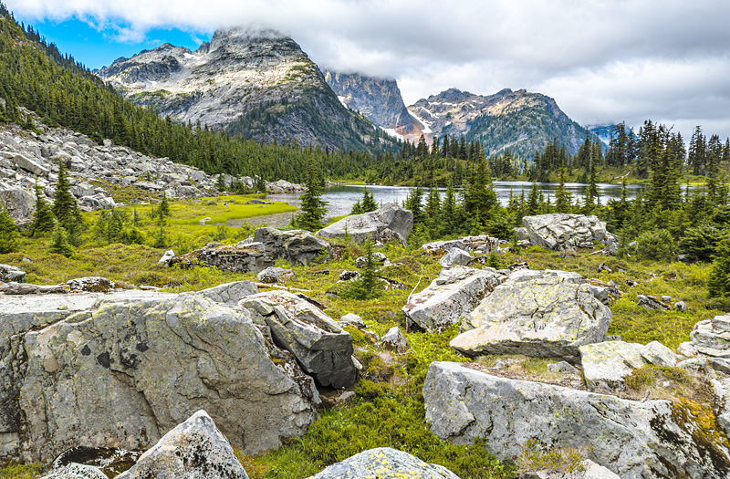
Having arrived in the rain the day before, this was the first time we had visited the far side of the lake. As we started walking among the boulders the view behind us was fine indeed.
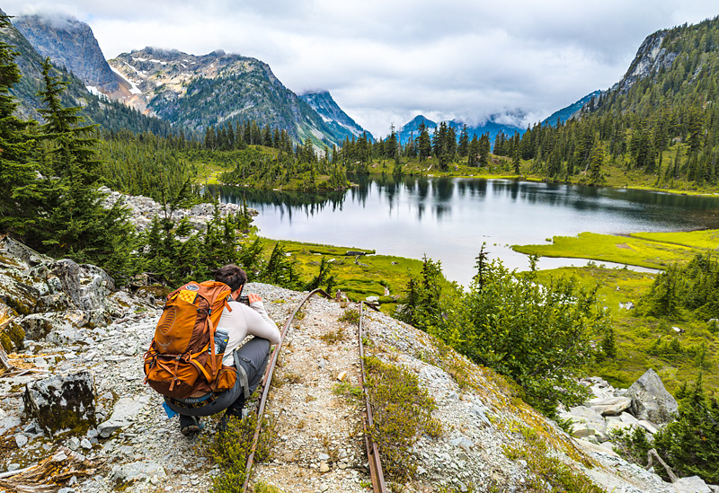
We were surprised to find a pair of railroad tracks coming out of the mind and disappearing over the end of a pile of tailings. We had fun conjecturing about the history of the mine and taking some pictures of the tracks.
After our initial ascent through the trees we came out into the upper section of the boulder field.
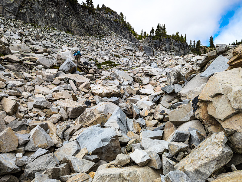
As we ascended the view behind us kept opening up further, providing an ever changing perspective of Williams Lake and revealing more peaks to the south.
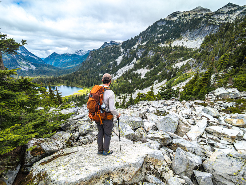
About two hours after leaving camp we finally topped out and reached the bowl containing Chain Lakes.
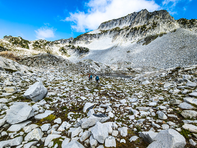
The sun finally came out so we took a lunch break while trying to dry our socks and boots from the previous day's rain. Here a barefoot Kendall takes in the views and the sun in a natural granite recliner.
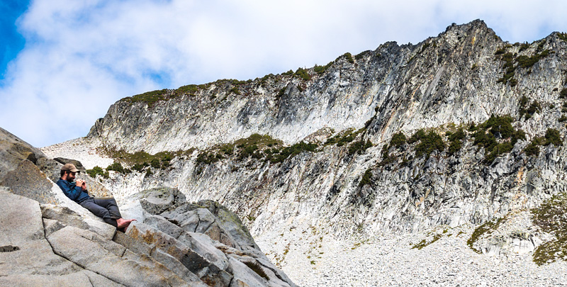
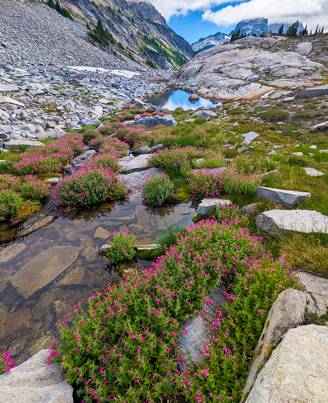
After lunch we continued into the upper basin on our way to La Bohn Gap. We were pleasantly surprised to find brightly colored flowers lining some of the upper lakes.
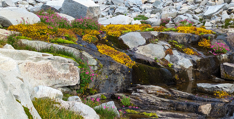
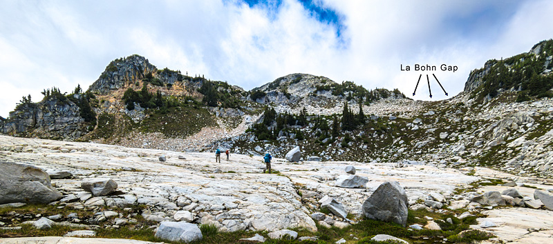
As we got near the upper basin the boulders were replaced with a single solid sheet of rock, which made walking MUCH easier.
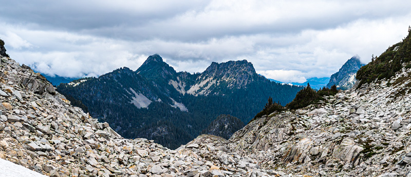
La Bohn Gap was again covered in boulders. Here's the view north into the Stevens Pass area of the Alpine Lakes Wilderness. Necklace Valley and the East Foss River are directly below. The West Ross River and Big Heart Lake are down and to the left. The three major peaks are Silver Eagle Peak, Bald Eagle Peak, and Shroud Mountain (partially shrouded by clouds, appropriately). A tiny sliver of Gunn Peak, used as a reference for Seattle Navigation field trips at Heybrook Ridge, is visible behind Bald Eagle Peak.
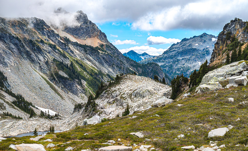
Here is the view south from the exact same point at which the previous northbound picture was taken. These are peaks of the Snoqualmie area of the Alpine Lakes, including Bears Breast Mountain and Little Big Chief Mountain. The Middle Fork River (not visible) is down and to the right.
After lingering at La Bohn Gap for a few minutes we reached our turnaround time and started heading back down to Chain Lakes basin.
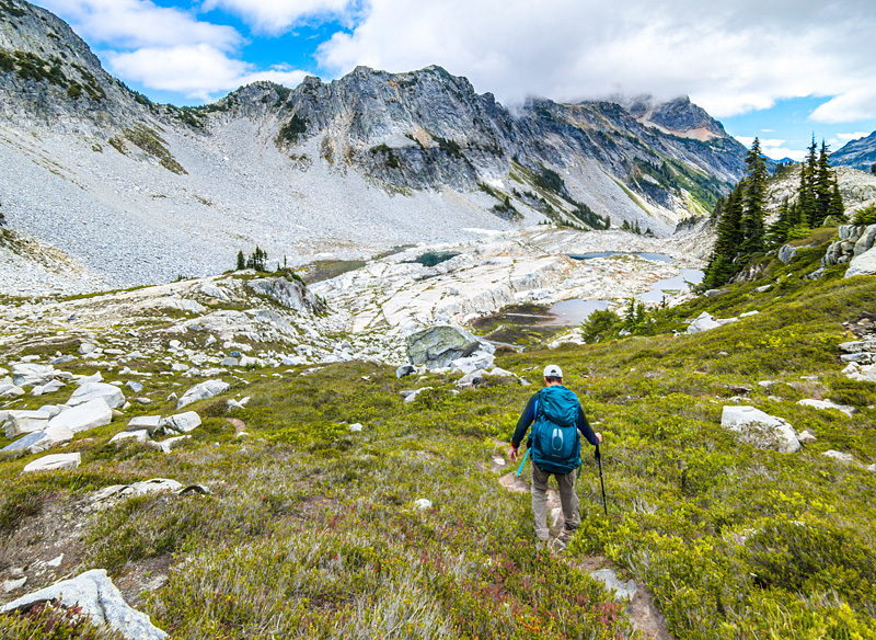
Aaaaand...back into the boulders we go.
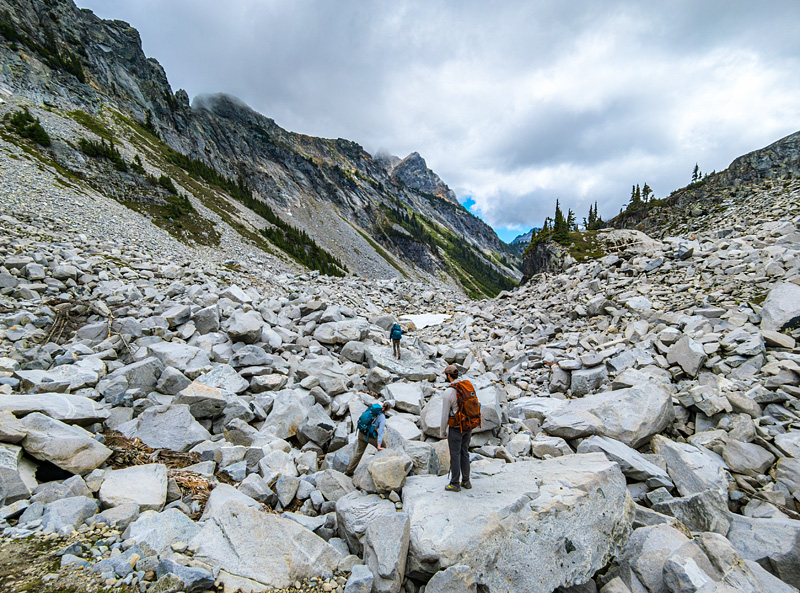
After spending the afternoon among the barren rocks above treeline, the greenness of Williams Lake and our campsite was striking.
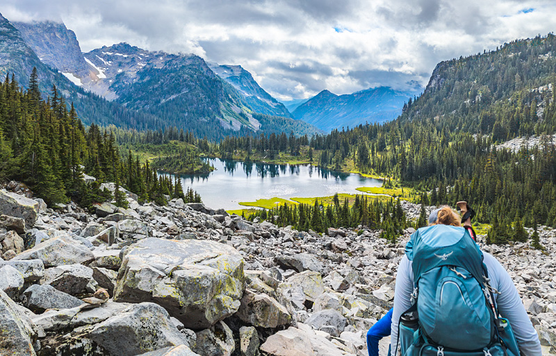
After a day of rain the previous day and a mostly cloudy morning, the sun finally shown on our camp as we returned.
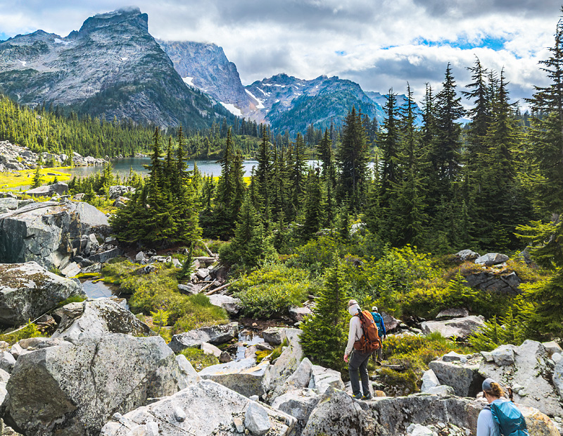
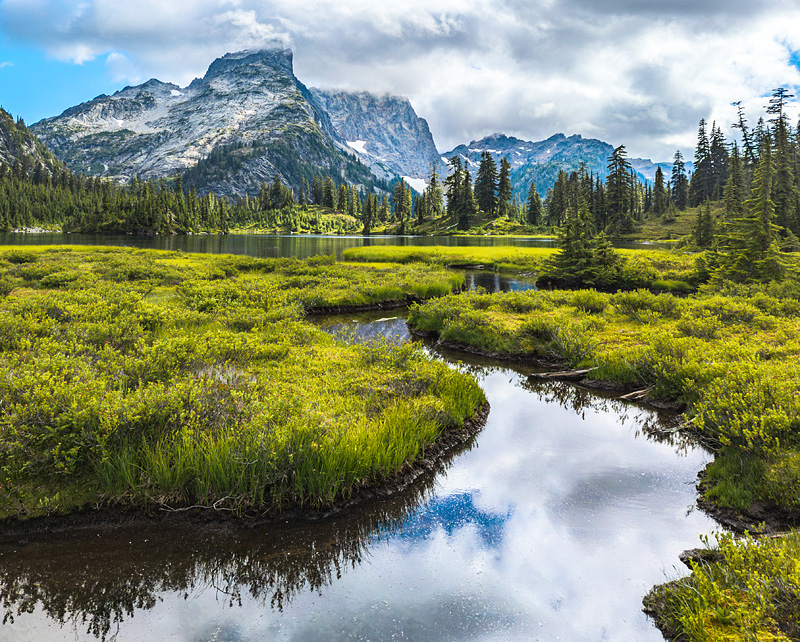 As per plan we were back to camp by about 5pm, in plenty of time for dinner and rest up for the two remaining days of hiking to follow.
Day 4: Crossing over Western Washington into Central Washington via Dutch Miller Gap
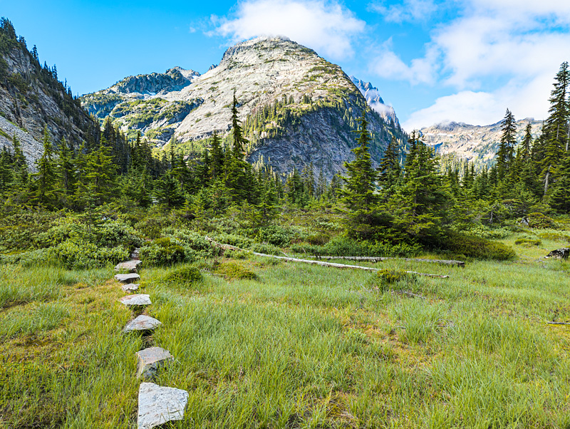
After spending two nights at Williams Lake we bid her goodbye and set off to the east once again. Soon after leaving camp we came across a picturesque line of stepping stones through a meadow. We are heading towards the gap between the large mountain in the center of the frame and the one two its left. At this point are only about a mile west of the Cascade Crest and Dutch Miller Gap.
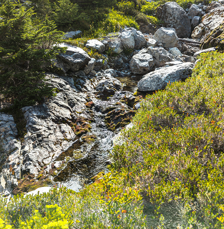
Up to this point our route had followed the Middle Fork River towards its origin. We had watched the river get smaller and smaller as we went. This close to the Crest the Middle Fork was little more than a stream flowing among the rocks.
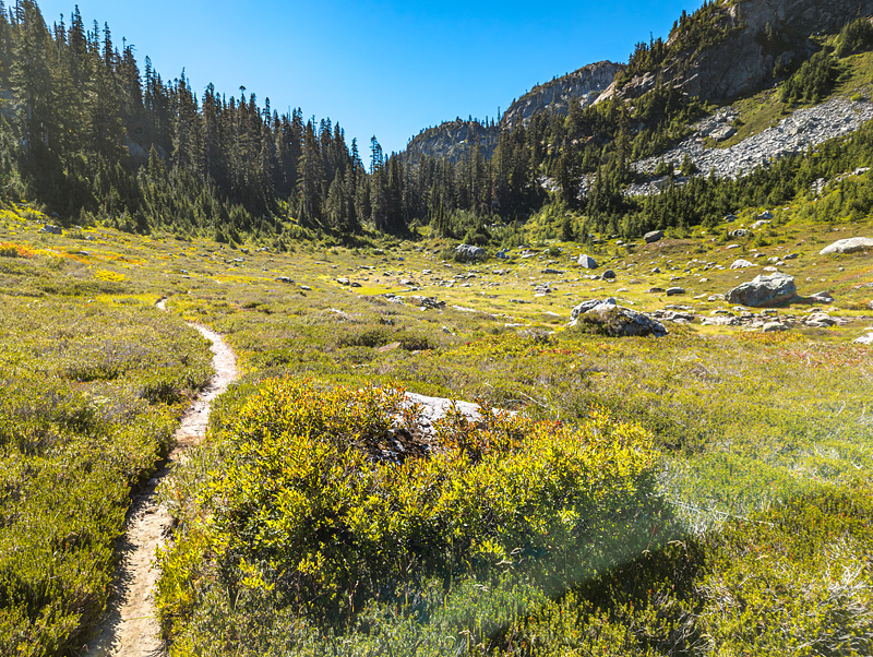
As we approached Dutch Miller Gap we started to see a mix of Western Washington and Central Washington conditions, including this rock strewn meadow just a few hundred yards west of the Cascade Crest. Dutch Miller gap is in the notch in the treeline straight ahead.
And here it is, Dutch Miller Gap! Well, at least within a few feet of it. It was definitely anticlimactic. The rock in the center of the frame marks the saddle pretty closely. The ground to the left of the rock slopes to the east and drains into Central Washington via the Waptus River. The ground to the right of the rock slopes to the west and drains into Western Washing via the Middle Fork River.
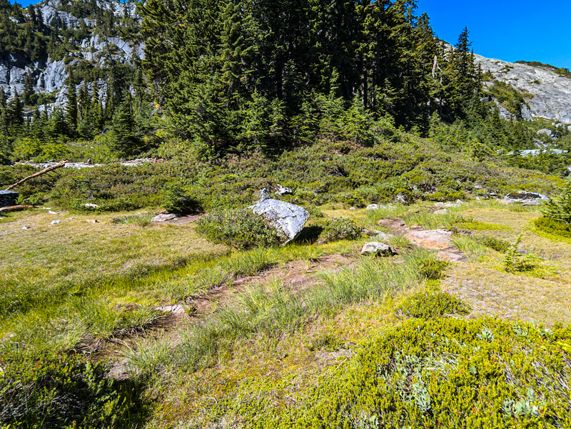
On reaching the eastern side of the saddle the transition from Western Washington to Central Washington was striking and immediate. Our first sight was of the full sun reflecting off of Lake Ivanhoe under a cloudless blue sky. The air became warmer and dryer, and it smelled of pine.
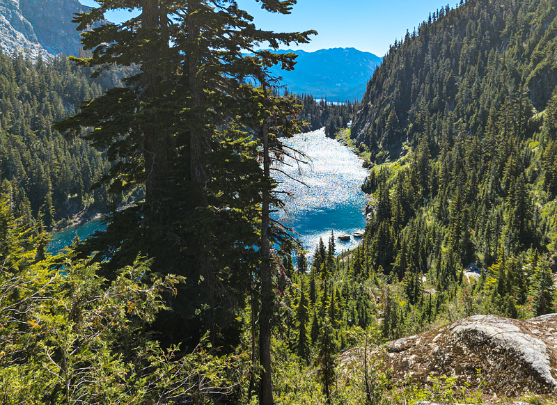
The trail skirted almost the entire southern shore of Lake Ivanhoe and its striking blue water.
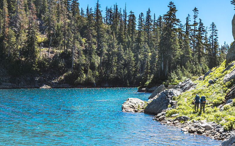
After passing Lake Ivanhoe we were greeted with this few of Waptus Lake, our destination for the day and still a few miles away.
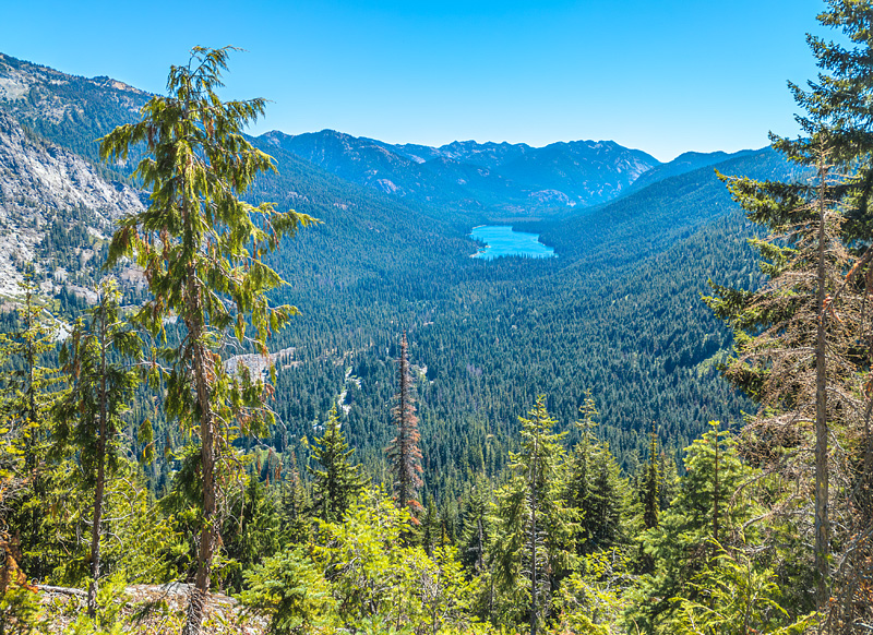
The hike to Waptus Lake was long and warm but typical of a walk through a Central Washington. Even though it was unremarkable as a Central Washington, it was striking to us because of the contrast with the environment in which we had spent the prior three days.
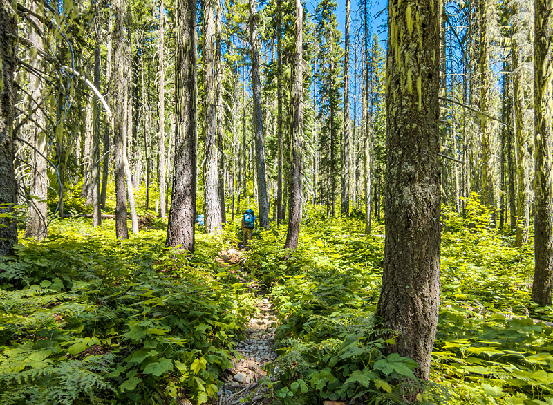
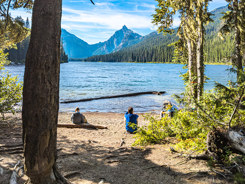
By the time we arrived at Waptus Lake in the later afternoon the handful of individual campsites that line the long edge were already taken, so we hiked to the far end of the lake and stayed at the enormous Waptus Lake camp, a veritable village of backpackers with literally dozens of campsites. Mckenzie and Jeryl found us a primo with its own beach access. Dutch Miller Gap, where we had passed over that morning, is the visible is the saddle in the middle of the ridge on the far side of the lake.
Day 5: Waptus Lake to Salmon la Sac
Because our final day's itinerary included 9 miles of hiking followed by a long drive, we decided to get an early start. We enjoyed a calm, quiet morning on the lake before setting out.
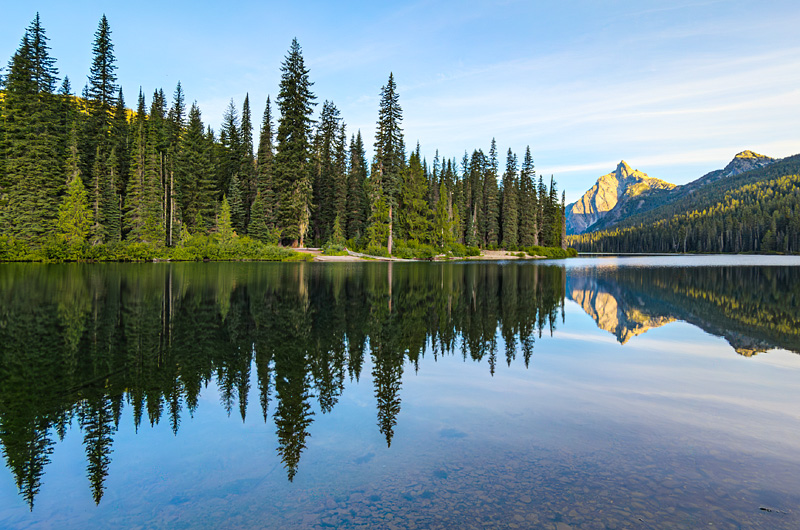
The walk out was pleasant but uneventful except for an easy ford of the Waptus River. We stopped for ice cream in Roslyn before heading back to North Bend to retrieve the cars we had left at the Dingford Creek Trailhead.
 David Bradley