Trip Report
Alpine Scramble - Putrid Pete's Peak, Web Mountain & Mount Defiance
last scramble before the big water
- Fri, Sep 22, 2023
- Alpine Scramble - Putrid Pete's Peak, Web Mountain & Mount Defiance
- Ira Spring & Putrid Pete's Peak Trails
- Scrambling
- Successful
-

- Road suitable for all vehicles
-
Dry, no water, no mosquitoes, only a few other humans encountered in various parts of the route.
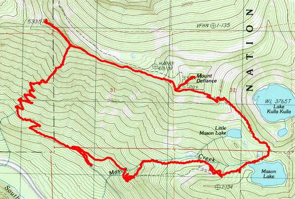
This was the last scramble of the summer, and the last day of nice dry weather before the world as we know it ends with a biblical seven-day streak of rain. This was a loop route starting and ending at the Ira Spring Trailhead, tagging Putrid Pete's first in the center, then Web on the left, and finally Defiance on the right before walking out by the Mason lake. A nice route with plenty of ridge walking and nice views on both sides.
Something like this:
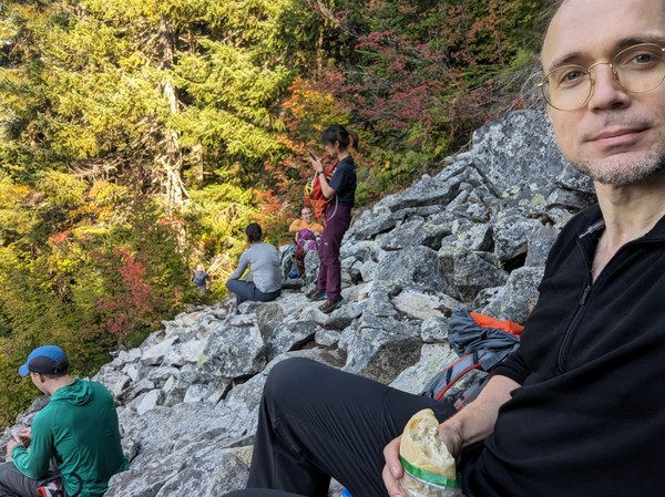
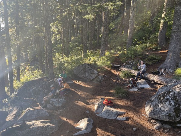
As is customary, we ate breakfast about halfway towards Putrid Pete's at the first major clearing after the first set of switchbacks, where we identified McLellan's Butte on the opposite side of the highway, and reassured ourselves that we would be looking down on it from Putrid Pete's later in the day.
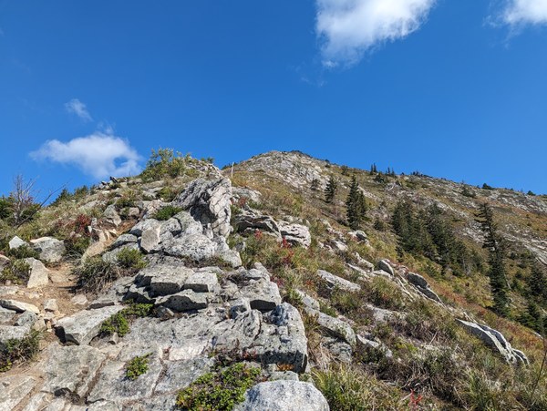
After that, we eventually moved out of the trees and onto the ridge, where another 1000 or so feet up we treated ourselves to another breakfast while looking at the last few hundred feet of the route ahead of us.
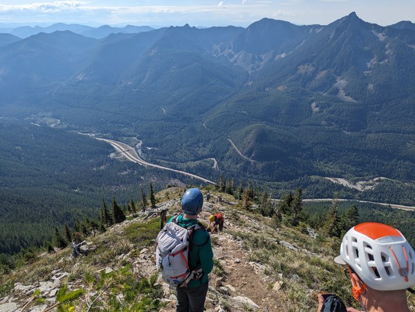
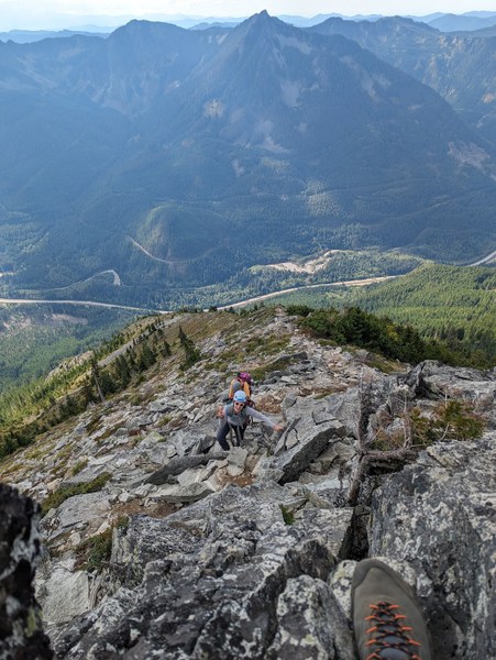
Participants on the way up:
Assorted views from the lunch spot:
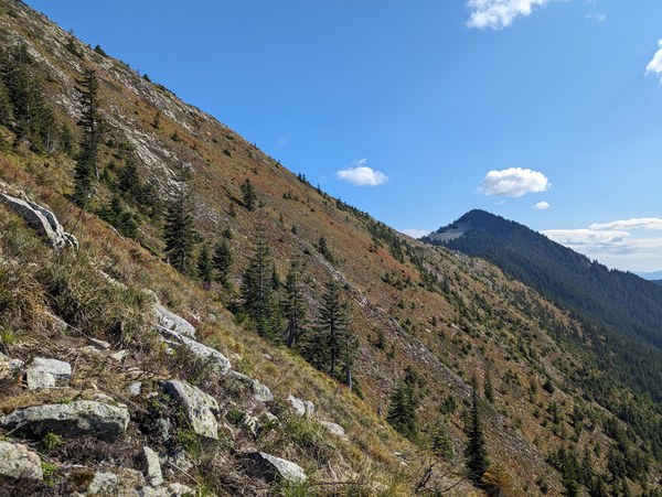
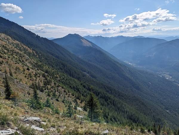
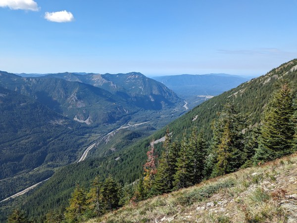
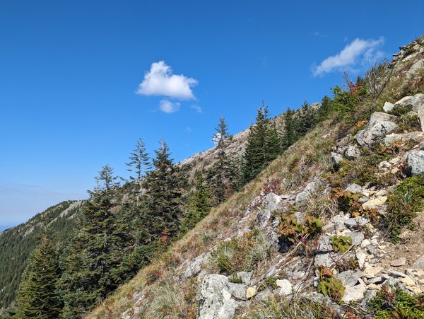
With the peak in sight and all the excitement that comes with it, the leftover of the scramble to the peak passed in no time.
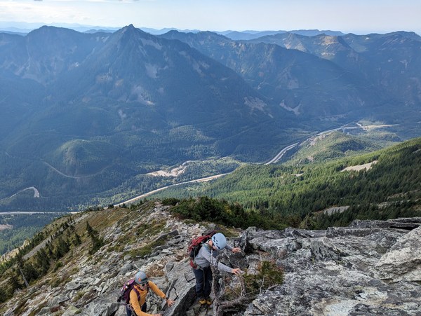
Participants topping out:
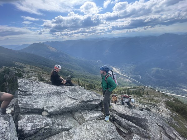
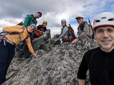
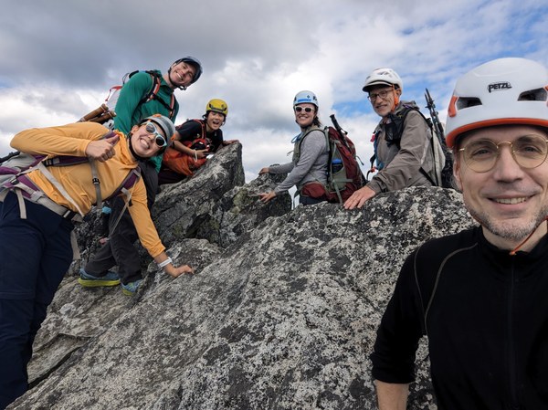
Obligatory summit group photo:
Assorted summit views:
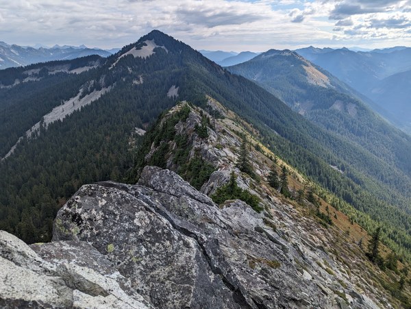
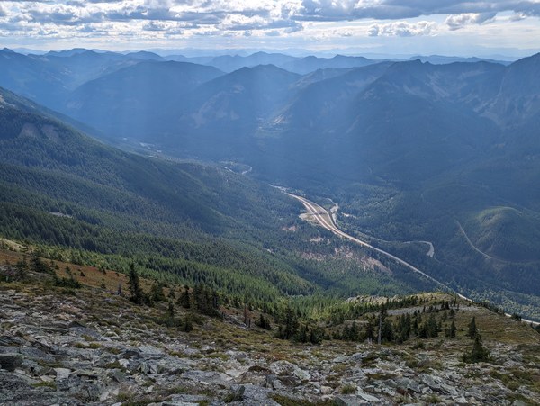
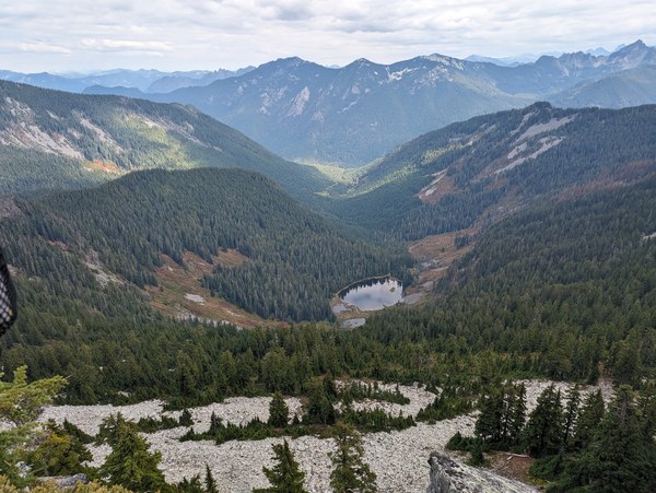
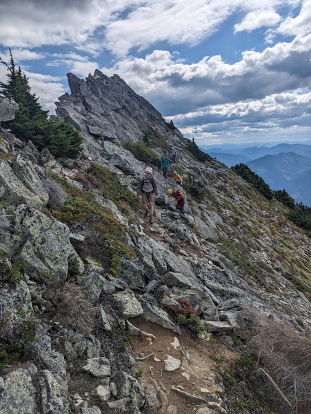
After tagging Putrid Pete's, the next objective was Web, which involved a short ridge traverse. We ran it as the usual "Choose Your Own Adventure", where participants can either follow the path or hop on the rocks closer to the ridge to milk the scrambling opportunities on the last trip of the summer.
Participants making their way towards Web:
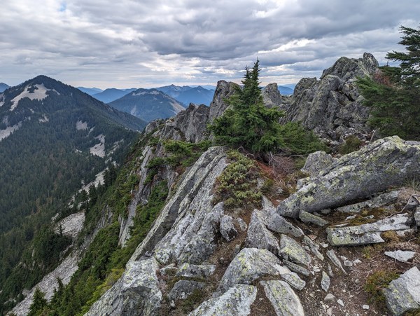
The summit of Web:
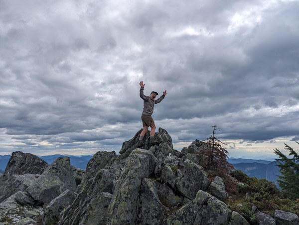
The joys of summitting:
After another breakfast at Web, we hopped back on the ridge to traverse all the way to Defiance. We continued to milk scrambling opportunities by staying as close to the ridge as possible, and hopping along the boulders rather than using the dirt path.
The path to Defiance eventually enters a forested area.
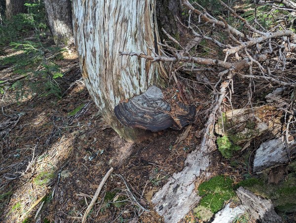
Mushrooms in the forest:
The last 400 feet to the top of Defiance were the usual steep slog.
Views of the lakes where we would be heading next from the top of Defiance (the one in the dead center would be Kulla Kulla, which we didn't visit, with the Mason Lake that we did visit towards the right edge of the picture):
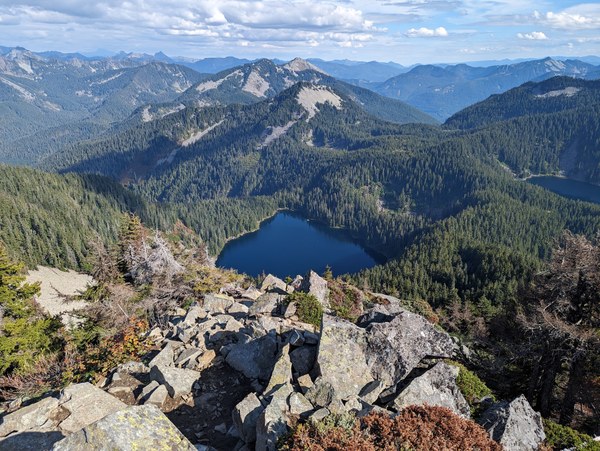
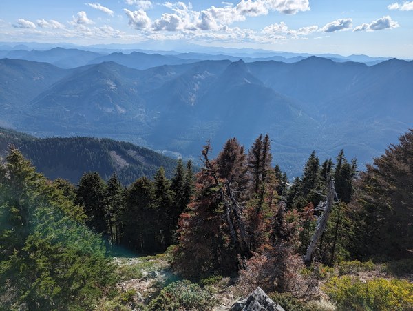
More views from the top:

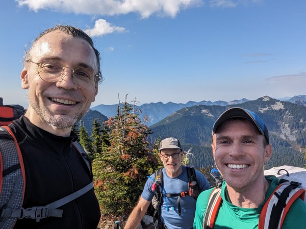
Celeberating the achievement with another summit group selfie:
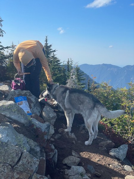
Petting cute dogs that couldn't bother to wait for the owner slogging their way up and summited the peak of Defiance on their own:
After topping out Defiance, it was all downhill. Halway or so down we tagged the Mason Lake, where some have filtered water, and some took the opportunity to lie down and stretch on the flat rocks by the lake.
For the walkout, we have taken a path that runs more or less directly West of the lake. There is a fork that you need to take to the right shortly after leaving the lake that is not easily visible from the trail as you approach. Just like the last time I was here, we initially overshot that by a couple hundred feet or so before I realized something isn't adding up, and needed to backtrack to find it.
The correct route is shorter and steeper, but it involves a section that goes down some damp and slippery boulders that took a while for everyone to negotiate safely.
The creek we went alogn to and crossed once or twice was not completely dried out, but the water was running deep below the surface boulders, and aside from a few slow-moving surface pools that looked potentially not clean and did not inspire confidence, was not readily accessible until the very end of the walkout.
Overall, it was a good trip - short drive, great weather, nice views, a pretty good amount of ridge scrabmling that allowed for a varying degree of difficulty to match whatever anyone wante to take out of it, and a decent amount of elevation gain and mileage for a weekly workout.
 Krzysztof Ostrowski