Trip Report
Alpine Scramble - Mount Worthington
worthington and iron followed by olympic downhill screeing and a swim in buckhorn lake :>)
- Sat, Aug 18, 2018 — Sun, Aug 19, 2018
- Alpine Scramble - Mount Worthington
- Mount Worthington
- Scrambling
- Successful
- Road suitable for all vehicles

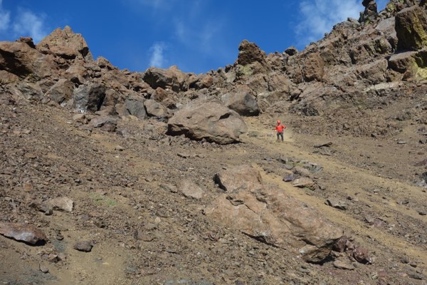
olympic downhill screeing :>)
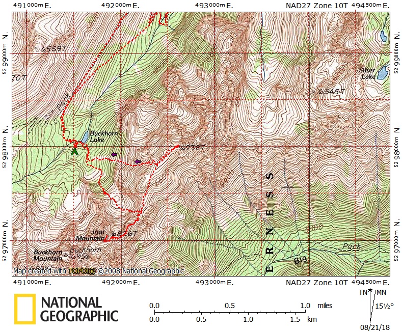
quick and dirty route info: hike tubal cain mine trail(when worthington comes into view, be sure to scope out the descent route), take turn off to buckhorn lake, set up camp, cross lake outlet and traverse around south end of lake via discontinuous path or moderate brush, once on east side of lake head south .1 mi to 5260' open basin, from basin head up generally se to worthington/iron saddle.
from saddle, traverse mostly on the ridge to iron, bypassing its false summit on its south side to notch between summits, then continue traverse on south side of ridge to just below summit and ascend. return to worthington/iron saddle, hike easy terrain to worthington summit block. corkscrew(either direction works), to summit. return to buckhorn lake via steep scree/avy ramp(outstanding screeing :>) that descends south from the ridge roughly midway between worthington/iron saddle and worthington summit. swim in buckhorn lake :>)
all class 2, except class 3 worthington summit block. although only class 2, the terrain to iron has some steep and loose travel that a class 2 rating could lead to underestimating it.
day one 10.62mi 4307' gain
2:45 car to camp
1:04 find and set up camp and take lunch break
1:53 camp to worthington/iron saddle
1:32 iron saddle to iron summit
0:22 summit stay
0:51 iron summit to worthington/iron saddle
0:43 worthington/iron saddle to worthington
0:03 summit stay
1:33 worthington to camp
10:46 day one total
day two 4.96mi 140' gain
2:00 camp to car
total 15.98mi 4447' gain
equipment: helmets, bear string, shoes for swimming
equipment brought, but not used: we brought 3 ice axes for 5 of us

 Brett Dyson
 Jeff Bowman