Trip Report
Alpine Scramble - Mount Watson/North Face
This is a very nice snow/rock scramble in the North Cascades SE of Mt. Baker. This trip has all the elements that are covered in the scramble course, off trail, route finding, rock and snow travel.
- Sun, Jul 16, 2023
- Alpine Scramble - Mount Watson/North Face
- Anderson Lakes, Watson Lakes & Mount Watson
- Scrambling
- Successful
-

- Road suitable for all vehicles
-
The trailhead is high at about 4200 feet. There is an approach trail of approximately 1.5 miles where at a saddle you head south to upper Anderson Lakes. From the saddle there is a short steep bushwack section to gain the ridge line to upper Anderson Lakes. From Anderson Lakes there is a brushy gully to ascend to the ridge line that will put you on the north side of Mt. Watson. From the saddle do a slow rising travers east and then southeast until you reach the last large rock outcrop below the summit of Mt. Watson. At this location you have two options to ascend the large col between Mt. Watson-East Peak and Mt. Watson OR ascend the snow finger between the apparent summits of Mt. Watson, the east peak is slightly higher.
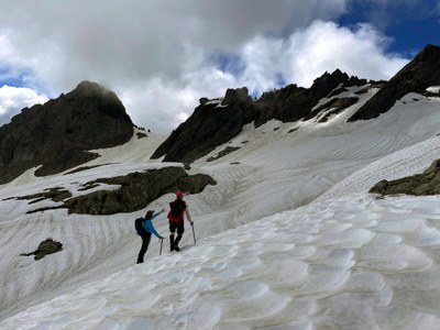
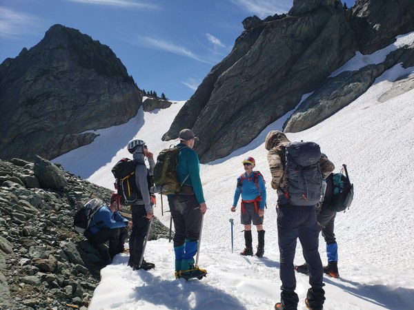
On this trip we ascended to the col between Mt. Watson-East Peak and Mt. Watson. The snow conditions were perfect on this trip, and we used crampons both ascending and descending. There was a little blue ice showing which we traversed above, very low angle, then ascended to the col. The run out going to the col was very good and completely snow cover. From the col we ascended west on the south side of the ridge line then traversed below the summit to a dirt gully. We ascended the gully and pushed through some small trees to the final rock scramble to the summit. The summit is a balanced rock, so everyone touched the summit and backoff. The summit area only allows two or three people near the summit. The summit is exposed so use good judgement on getting everyone to the summit.
An item to note for both routes. Pay attention to weather history when scheduling this scramble. On hot dry seasons the col route should go until mid-July on a cold wet season mid-August. In 2021 I was on this route in mid-August (record setting temperatures of over 100F) and blue ice was showing on both routes and we had to turn around.

The road from Baker Dam is 10 miles the last 1/2 mile is a little steep and has a washboard surface. allow 30-45 minutes for this section of travel. Bugs seem to always be an issue. Parking can be an issue so carpooling is highly recommended.
 Randy Fritch