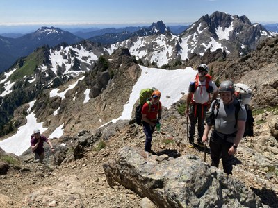
Trip Report
Alpine Scramble - Mount Stone/South Couloir
A gorgeous and very challenging one day scramble (S5,T5), made even sweeter by the beautiful Lake of the Angels. A fortuitous alternate for our original Bismarck traverse (changed due to lightning in the forecast).
- Sat, Jul 8, 2023
- Alpine Scramble - Mount Stone/South Couloir
- Mount Stone/South Couloir
- Scrambling
- Successful
-

- Road suitable for all vehicles
-
Conditions were perfect, almost zero bugs with the only substantial snow in the upper basin below the summit block. Brought crampons but did not use them.
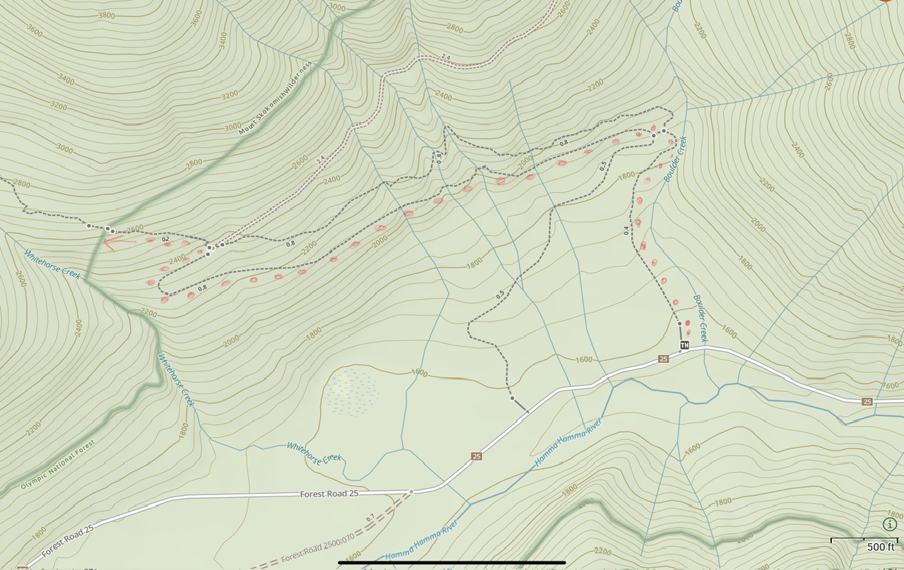
After an unannounced opening of the Hood Canal Bridge (boo hoo ;) we headed out shortly after 8am on the Putvin Trail. We used a rapidly reverting roadbed (red dots) to avoid an extra 300’ on the Putvin Trail.
The Putvin trail doesn’t mess around, gaining elevation is its middle name. A particularly eye catching section is the portion just above ~3600’ elevation. Although not terribly difficult, the consequences of a misstep are substantial, especially at the end of a long day on descent.
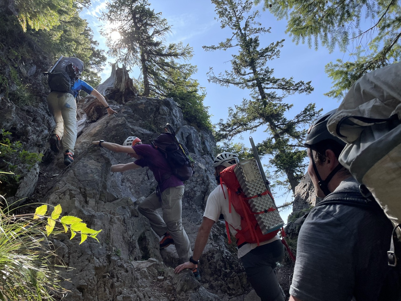
(photo by Jesse Bengtsson)
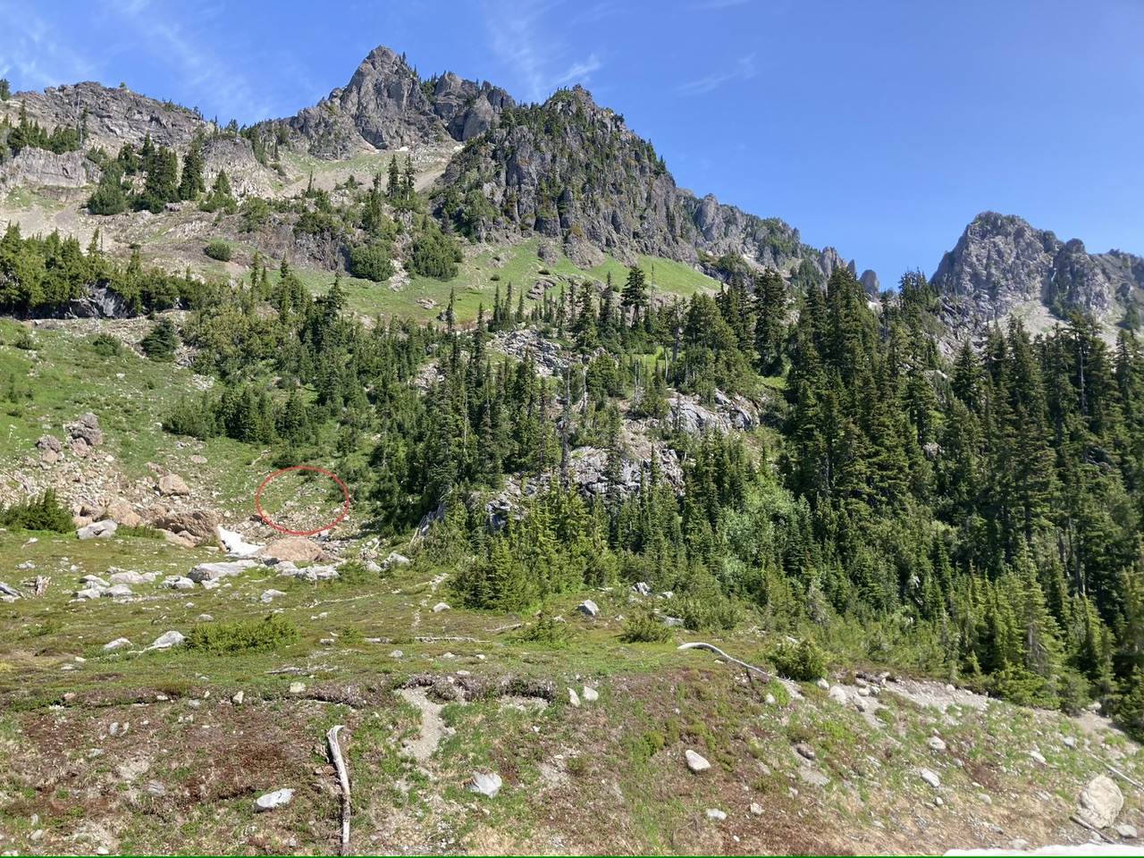
You can pick up a substantial game trail just NNE of Lake of the Angels which begins to the climbers right of some large boulders (the area circled in red). This track leads towards St. Peter’s Gate (the notch in the ridge ).
At ~5600’ a convenient ledge (the green ramp running from lower right to upper left) provides convenient access to the upper parts of the mountain.
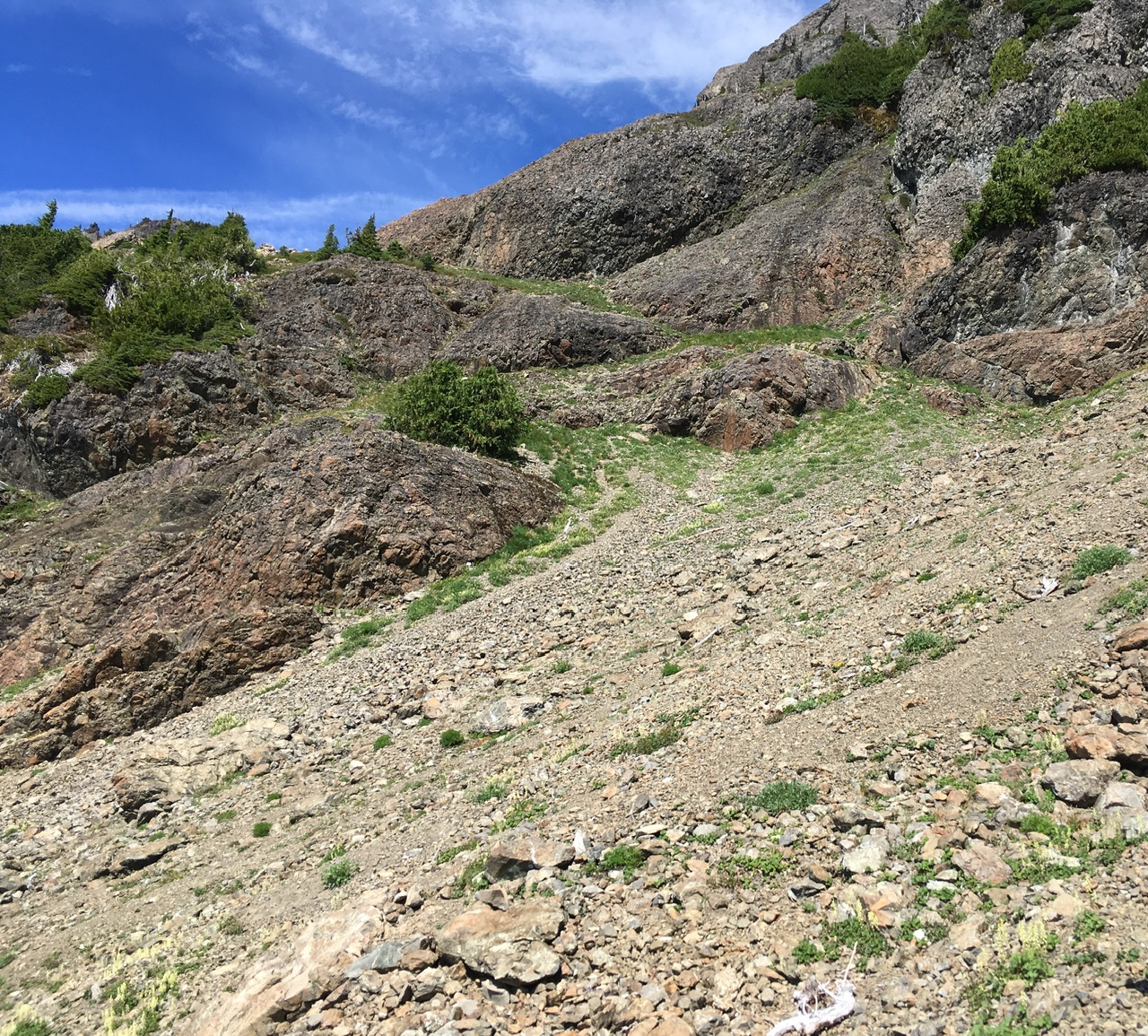
(photo from August 2016 trip)
Footing seemed least loose by following game tracks adjacent to the steeper terrain.
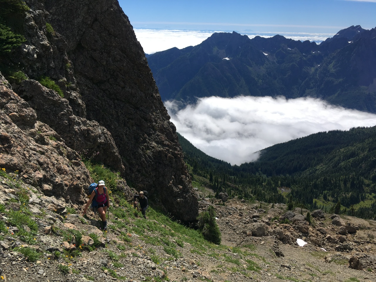
(photo from August 2016 trip)
We took advantage of a large boulder’s shade to hydrate and rebalance our electrolytes (salt tablets).
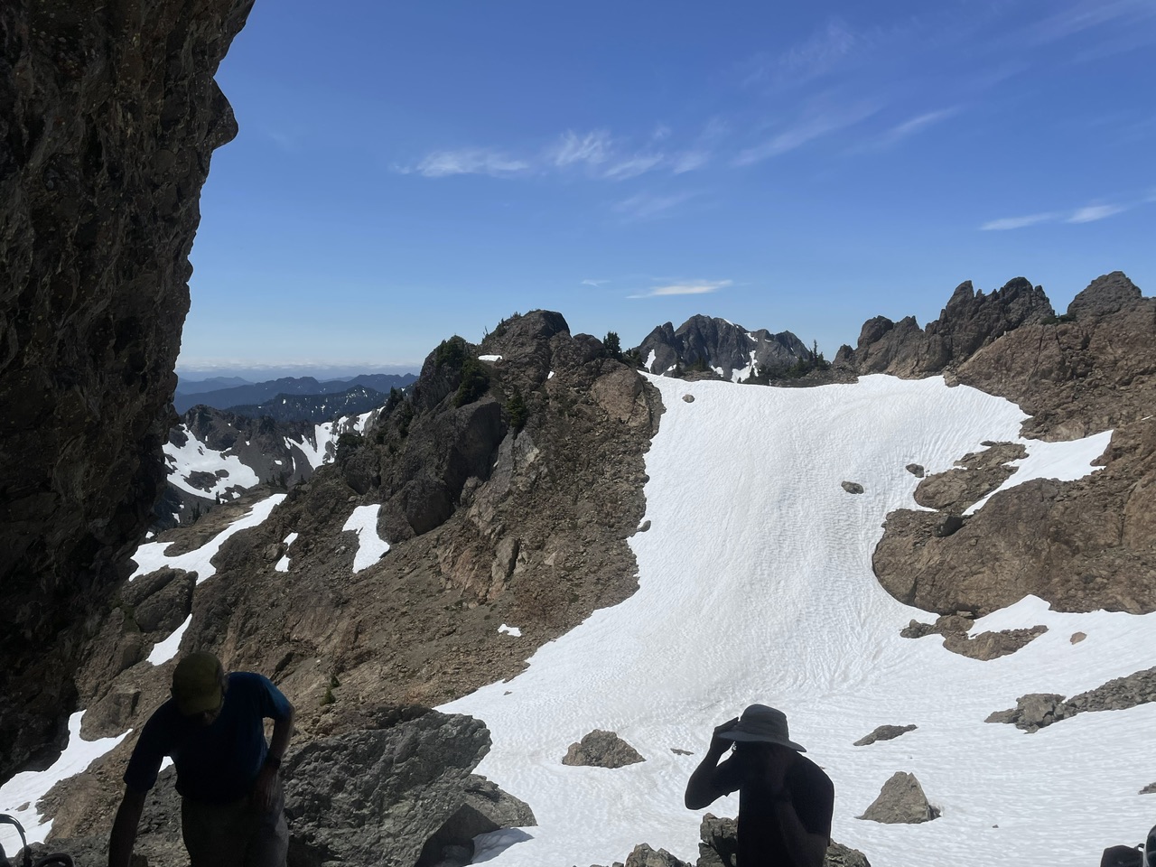
(photo by Jesse Bengtsson)
A bit of scrambling…
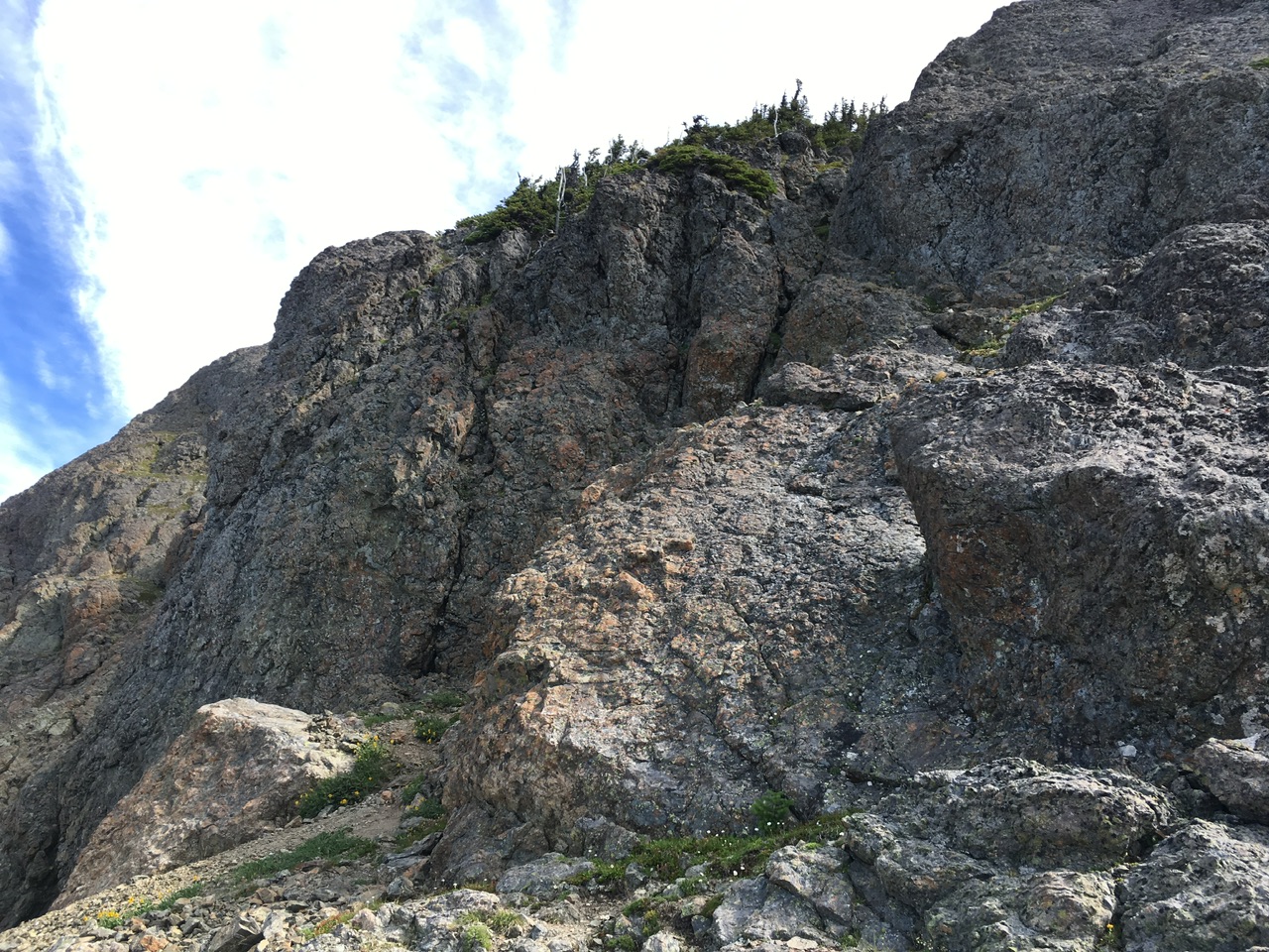
(photo from August 2016)
… before reaching the upper basin.
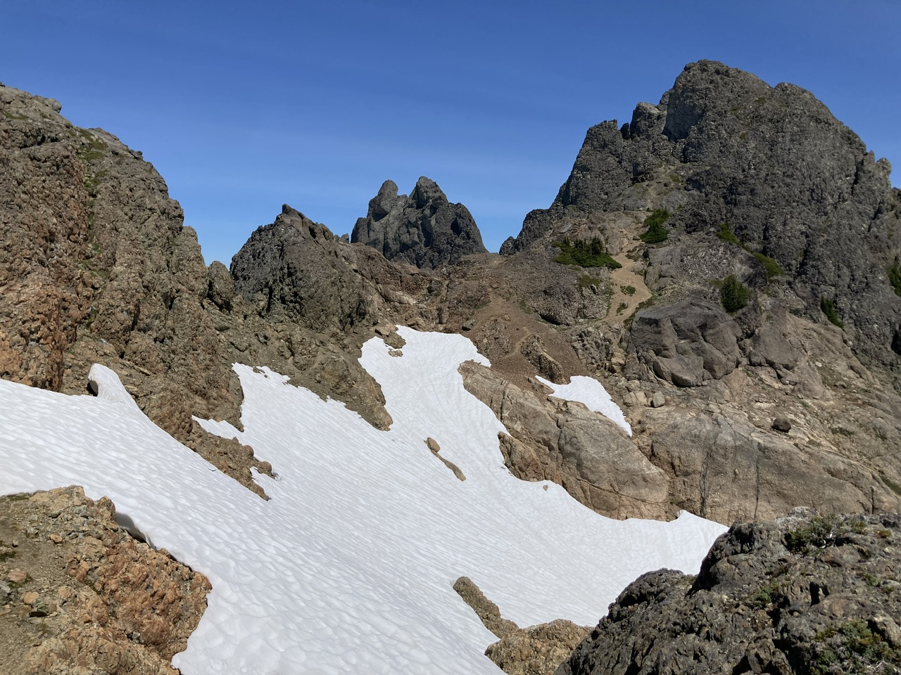
A convenient moat allowed us to quickly bypass any consequences associated with a slip on the snow.
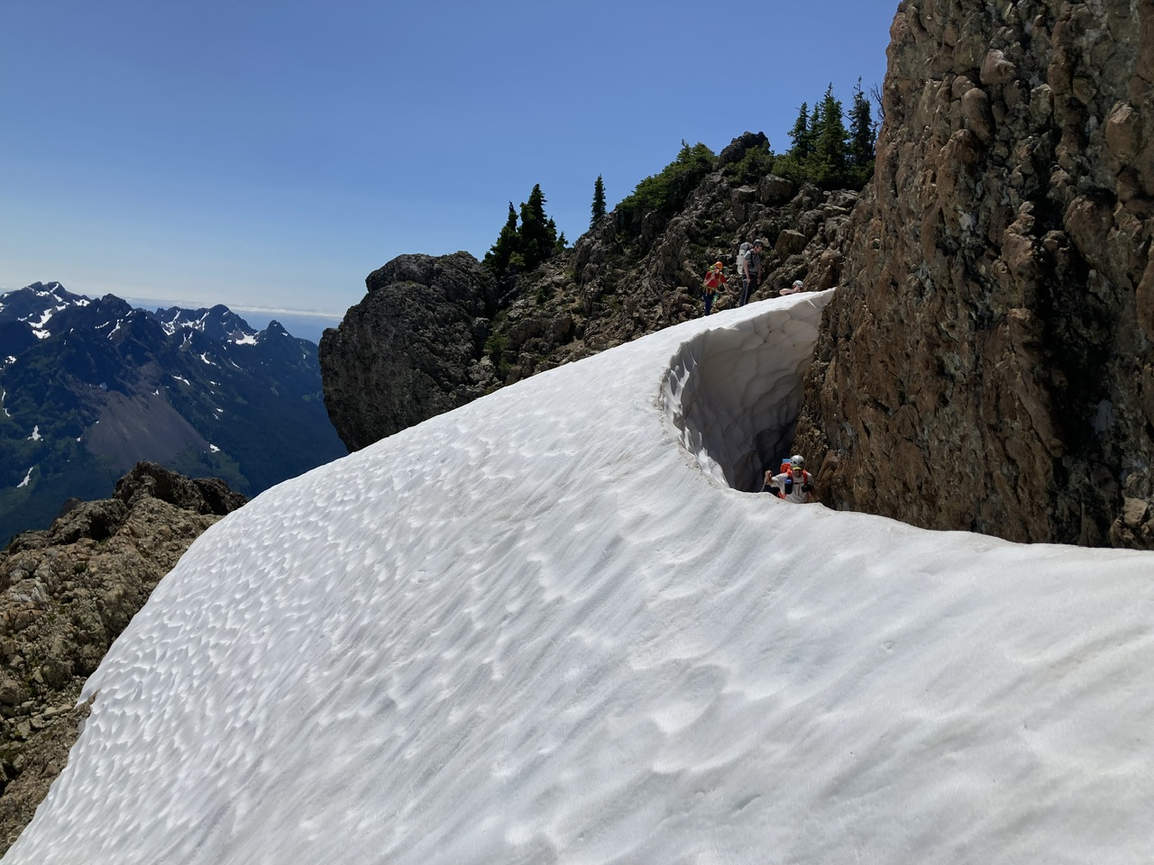
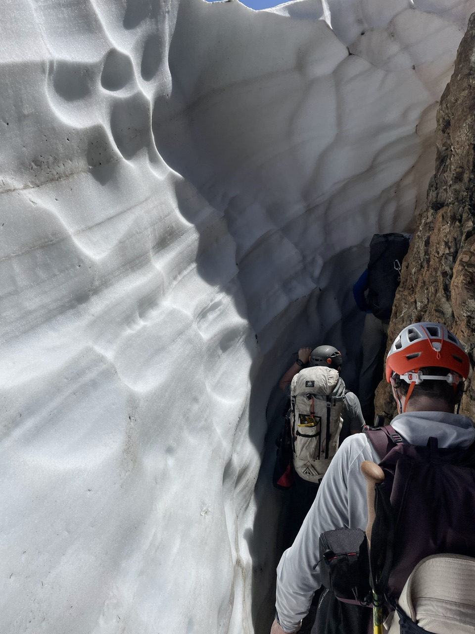
(photo by Jesse Bengtsson on descent)
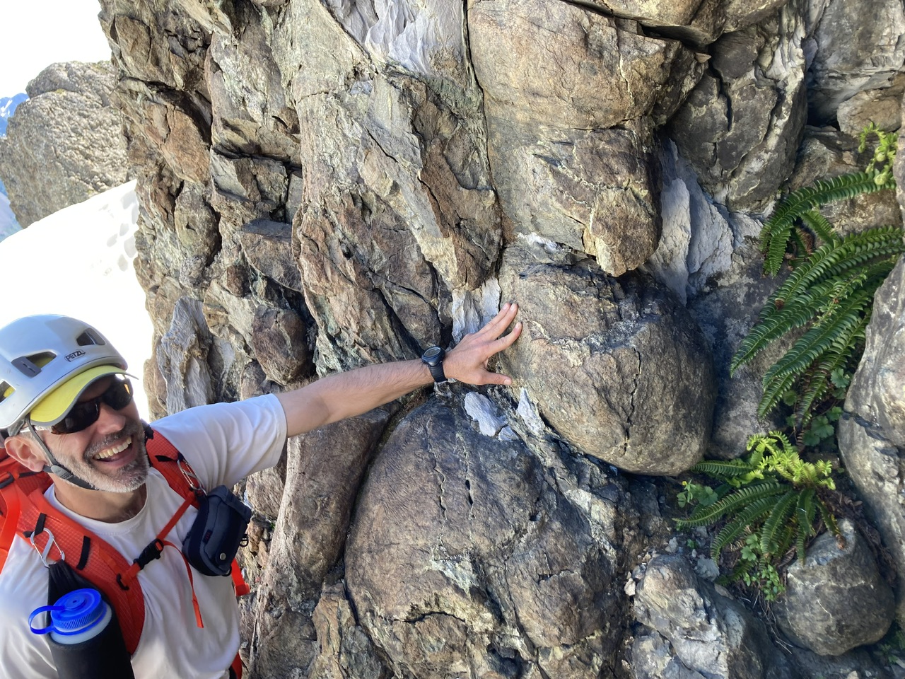
Just north of the moat was an extremely interesting confluence of geological features (limestone, pillow lava) and ferns.
The last bit of scrambling, route shown in red.
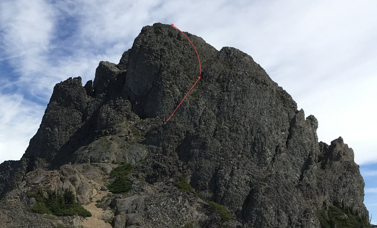
(photo from August 2016, for scale note people near lower end of red line)
The lower part of the scramble (shown on descent), Mount Pershing in the distance.
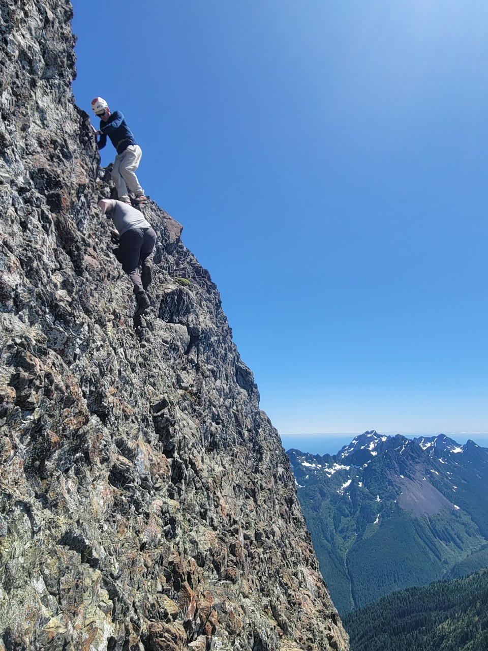
(photo by Leaf Petersen)
The upper part of the scramble (shown on descent).
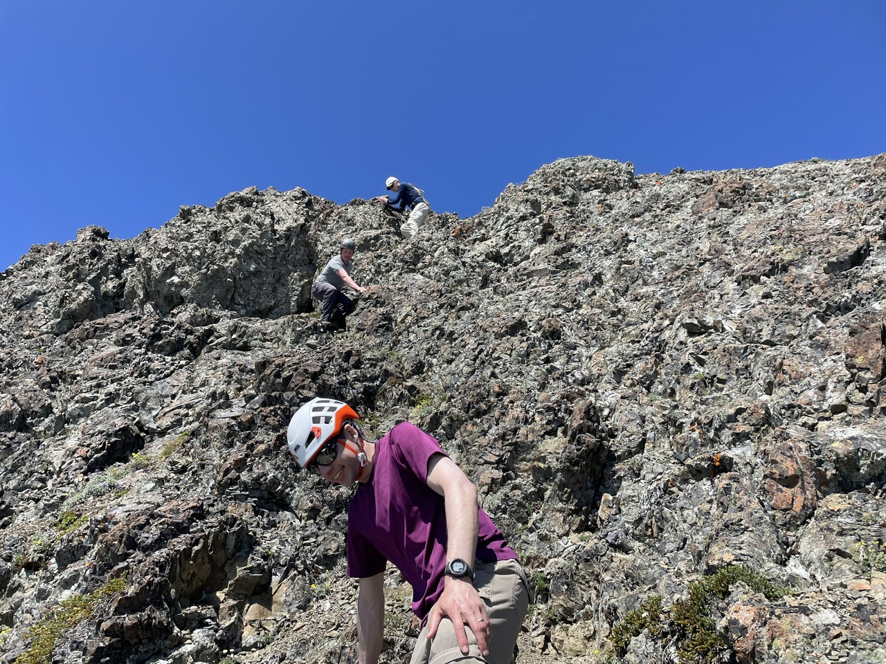
(photo by Jesse Bengtsson)
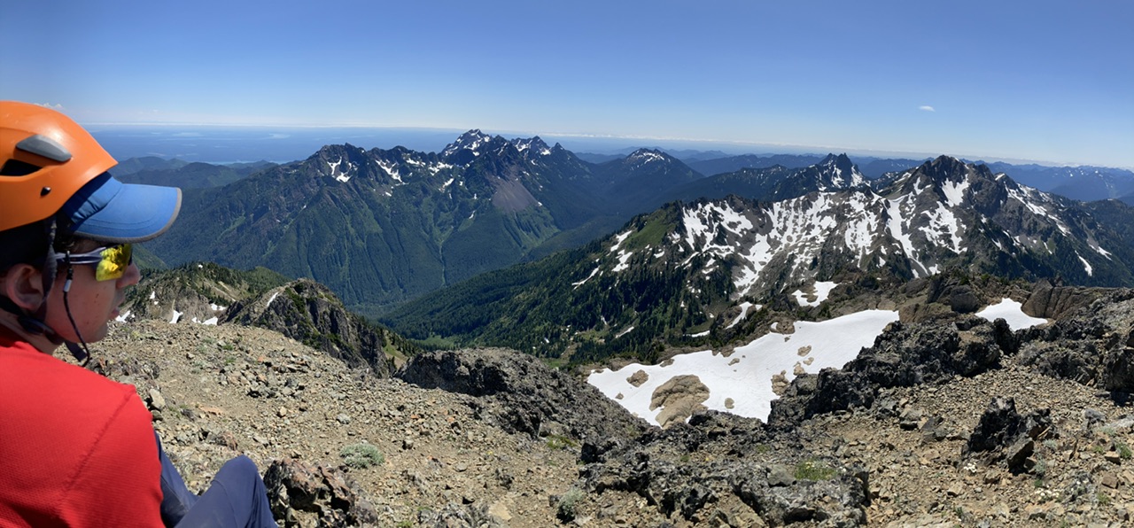
Happy Campers on the summit!
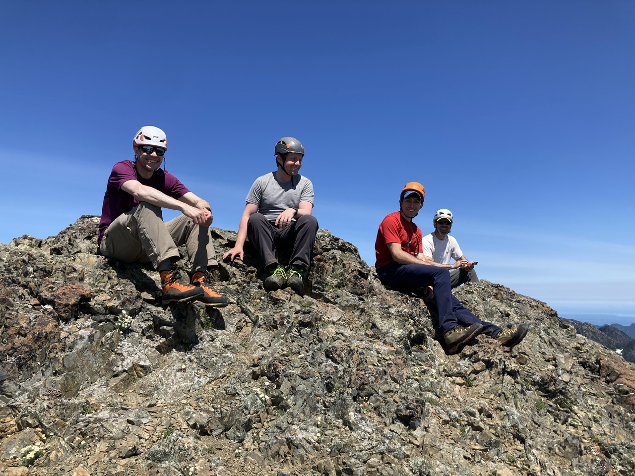
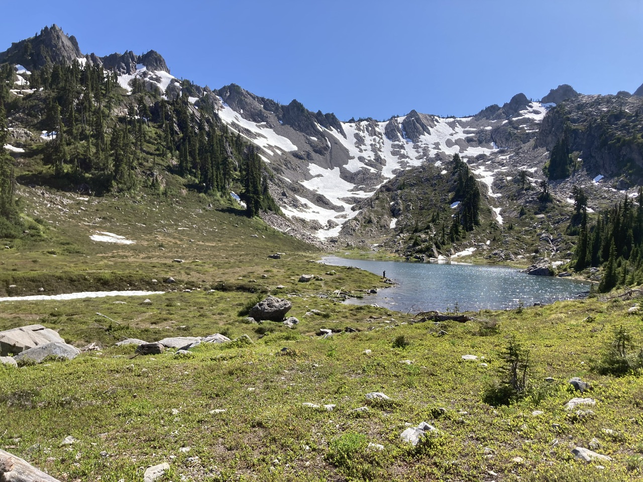
We were soon headed home after refilling water bottles at gorgeous Lake of the Angels.
An incredible day in the mountains with absolutely perfect conditions. We saw very few people on the Putvin Trail, and no one above Lake of the Angels, a highly desirable situation owing to the substantial risk of party induced rockfall. Everyone agreed the slightly longer route that uses Lake of the Angels was well worth it (~12 miles round trip, versus ~10 miles for the more direct variant that skips the lake). Our total time was just under 10 hours which included a number of substantial breaks (5.5 hours on the ascent, 4 hours for the descent). Photos from this and other trips to this venue can be seen here.
 Dave Morgan