Trip Report
Alpine Scramble - Lightning Peak
Lightning Peak is what I'd describe as deceptively difficult. Rated 8 miles RT and S3/T3 with over half on trail. It was my first official scramble lead since completing my mentored trip and receiving the leader badge.
- Sat, Jun 24, 2023
- Alpine Scramble - Lightning Peak
- Lightning Peak
- Scrambling
- Successful
-

- Road suitable for all vehicles
-
Getting to the trailhead is easily done in any vehicle. Near the north end of Lake Cushman, take a left onto the causeway to the south side of the lake. About ⅓ mile beyond the causeway you'll find the trailhead (with sign), and a few pullouts for parking. NW Forest or America the Beautiful Pass is required. You'll find a pit toilet just past the causeway before turning, and currently a sani-can just on the south side.
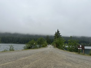
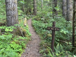
This would be my first my first official scramble lead after my mentored trip and receiving the leader badge. Lightning has been on my radar for quite some time. It doesn't seem to be led that often. Todd and I discussed at the recent Olympia rock field trip day, and he was interested, having done it previously. Per Todd's suggestion, I listed it as S4/T4, instead of keeping the Mountaineers destination rating of S3/T3.
Planning and Beta
The plan was for a moderate but steady pace, around 1,250'/hr, and for the leaders and participants to be prepared for a steep approach trail and off-trail travel that would require crampons, ice ax and exposed rock scrambling, and the possible use of a fixed line. We agreed to carry both a static line and dynamic rope because Todd remembered a knife edge traverse and sometimes folks are more comfortable with a hand line coming off the main summit. The most recent trip reports came from the WTA (friends Ron and Bob), and Peak Bagger. There is also beta in Peggy Goldman's Washington Scrambles, and the Mountaineers, Olympia Mountains Climbing Guide. The trip is rated at 8 miles round trip and between 3,700' and 4,100' gain depending on the source. Quite a few GPS tracks show the mileage closer to 6.5, but I think that's due to steep slopes nearly the entire way, and heavy tree canopy. I had anticipated about a 9 to 10 hour day. I chose an 8AM trailhead start since the days are long. For a turn around time, I mentioned that we'd monitor things. I'd set my first alarm from 11AM, but if we were not on the ridge by 1PM, we'd need to seriously evaluate things.
I picked the weekend day I felt had the best weather. The forecast a week out was a little iffy, but as we neared it improved and the probability of rain went to near zero with temps in the 50's/60's, and partly to mostly sunny.
Conditions and Trip
The weather forecast turned out to be accurate. We were treated with a morning marine layer to start the trip. This helped keep things cool. We met to carpool at Haggens at 6:30AM. We were at the trailhead by 7:40 and hiking about 8:00AM. Just four of us. The trail starts out moderate and quickly transitions to steep.
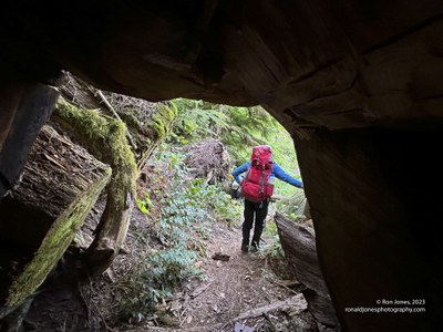
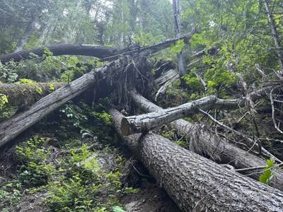
The Mt Rose Trail crew has done a superb job on this trail after the 2021/22 winter. Still quite a few logs to duck under.
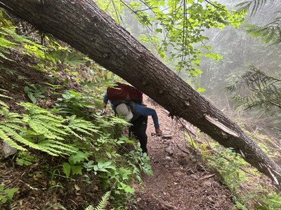
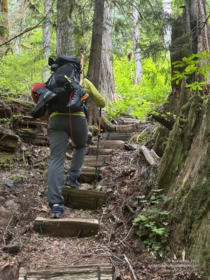
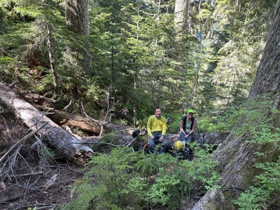
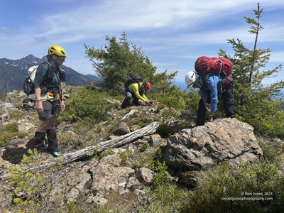
We arrived at the junction to the off-trail section, 2.5 miles and 2,400' gain by 9:50AM, including a 5 minute rest at 1 hour. We had an extended 20 minute break to eat and drink, put on helmets, stash trekking poles and dawn ice-axes.
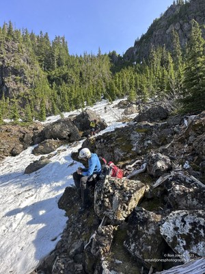
Rei and Jean resting. Todd is blocked by a large tree.
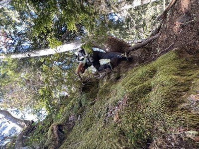
Three of us chose to wear trail shoes and carry our boots. We decided to wait on boots until we hit the gully and snow. This proved a good decision. The way-trail/climbers boot path is well-trodden, with just a couple rock/root scramble sections. Most of it is pretty easy going.
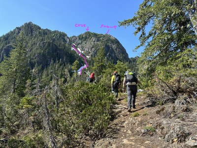
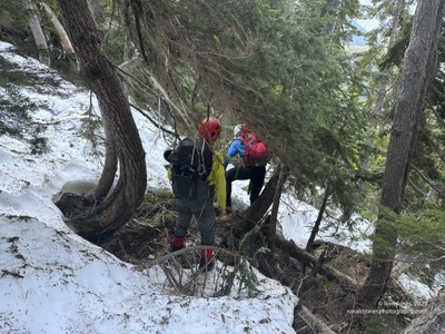
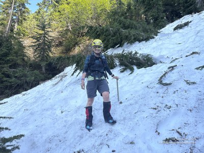
We were at the Chute by about 10:40AM and leaving around 11:04AM (first alarm sounded). We refreshed, and put on boots and crampons. I reset the alarm for noon. The snow was patchy and we were all happy to have crampons and an ice ax was necessary. The snow pack was soft on the surface, but firm a couple inches down. Someone following could have been okay in microspikes, but crampons made travel a lot safer. We frequently transitioned from snow to rocks/roots/logs/mossy rocks and back to snow. The noon alarm sounded just before gaining the ridge, which we made about 12:10PM.
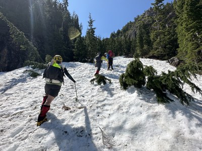
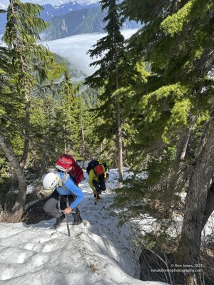
When you read about this gully being an avalanche chute, believe it. We found much debris and evidence from the past winter/spring.
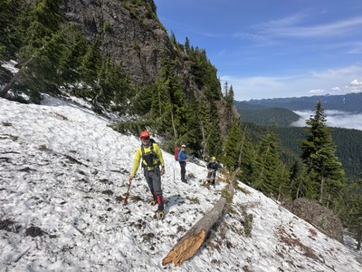
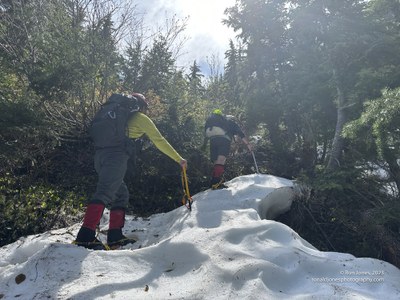
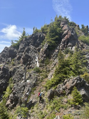
Once on the ridge, we traversed over to the false summit, what would be considered the crux which is a rock pinnacle that descends west down a short knife edge. We decided to set a fixed line here. It requires a long length of webbing to go around the horn. I climbed down unprotected and secured the other end to a nice stubby tree. We also rigged an intermediate anchor with webbing. It wasn't ideal, but we all felt it would still give some protection shorten any fall.
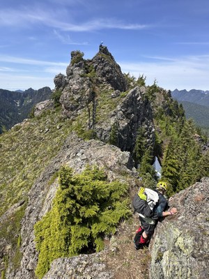
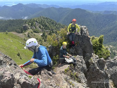
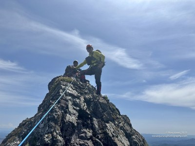
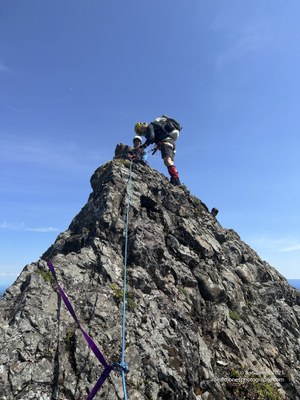
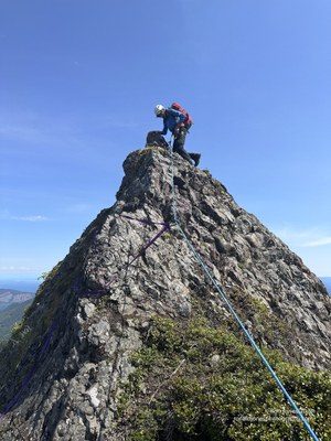
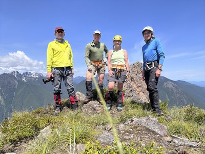
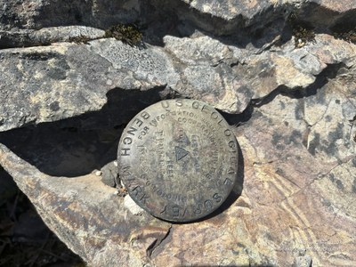
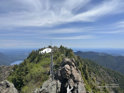
From the false or first summit, we descended and traversed over to the west summit. We arrived at 2:10PM. It took about an hour to go between peaks. I went all the way to the western most point, while the others stayed at the survey marker. We never found a summit register that is supposed to be on the false summit. But never looked either. We were busy. The ascent up the true summit was not bad. We did use a hand line to descend one tricky spot. We began our descent at 2:40PM. It probably took an hour to get back to the gully descent after traversing and gathering up our fixed line.
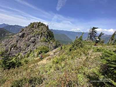
LLooking back from the western most point to the summit and false summit beyond.
The trip down the gully was very slow. We didn't get to the bottom and our shoes until 5:00PM. Interestingly, we ended up with almost the same track up and down as another scramble had a few years ago. Originally thinking they probably descended an easier path, but that wasn't the case. While we initially started following our footsteps down, the terrain tricked us into veering to the right edge of the gully. This was a big mistake. We had a lot more snow to brush transitions. Some of them quite tricky. Jean and I got in a couple short glissades on the way down. After changing shoes at the gully bottom, we took about 25 minutes to get back to the main trail, arriving just before 6:00PM. We descended the trail at a steady pace with just one short break and were back at the cars at 7:20PM. An 11 hour and 20 minute day.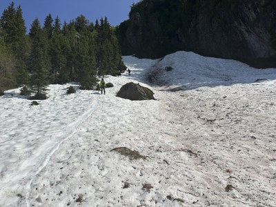
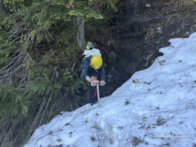
I would definitely do this scramble again, however, I might let some time pass. There is likely a sweet spot for having enough snow to make the gully easier travel, but out of avalanche danger. Three of us descended the gully in Mountaineering boots but without crampons, and one person used crampons. In hindsight, we'd all have been better off in crampons.
For me personally, it's a worthy scramble. The views are incredible. We could see Rainier, St Helens, and a glimpse of Adams. Just a bit of haze made it tough. And Seattle, not to mention the Olympic range with Olympus poking above the ridges.
I'd agree with Todd that it's a Mountaineer T-4. Comparing it to having done Three-Way the week prior, which is rated T-5, it would rank as T-5 in my opinion. At least if going past the east summit. I didn't think Three Way was nearly as technical for the rock portion as traversing over the east summit.
A little side note. Copper Creek flows strong until the bridges about ½ mile from the trailhead, where it becomes noticeably weaker and then disappears just below the bridges. across the first bridge and creek on the way up and you can see an old mine shaft that's been secured. Or on the way down, glance back just before leaving the last bridge.
 Ron Jones