Trip Report
Alpine Scramble - Hemlock Peak
a full-value scramble on a rainy day
- Sun, Oct 15, 2023
- Alpine Scramble - Hemlock Peak
- Hemlock Peak
- Scrambling
- Successful
-

- Road suitable for all vehicles
-
As late-season as it gets, but no issues otherwise.
This trip started as an attempt to save a rainy weekend after a busy week at work from becoming an on-the-couch weekend. I had zero time to plan beforehand, and woke up on Saturday morning to a bunch of weather data that overall looked rather discouraging, but left a margin of hope during the time window that should last until at least 2pm or thereabouts on Sunday.
The area to the NW of Snoqualmie Pass seemed to show some promise, and Hemlock Peak happened to be rigth there. Rated at T3, this should be potentially doable even with little a bit of rain in the afternoon. With a good pace, we would be back on the trail heading down. I managed to post before the 11am daily email goes out, and we reached a critical mass for a next-day trip within hours. Oh, the wonders of The Mountaineers. I love it.
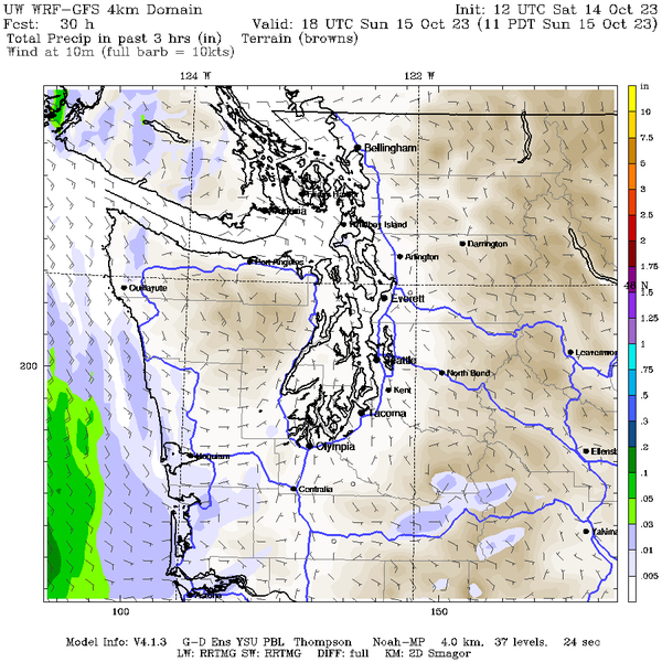
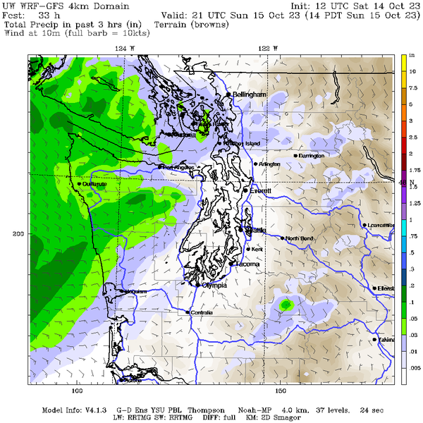
One complicating factor was the closure of the area near Denny Creek, so going up the standard route was not possible.
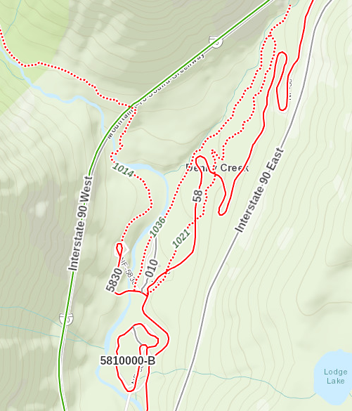
However, it did seem like you could approach the area from Alpental and get on the other side of the Pineapple Pass, for a comparable amount of mileage, and so that's what we did.
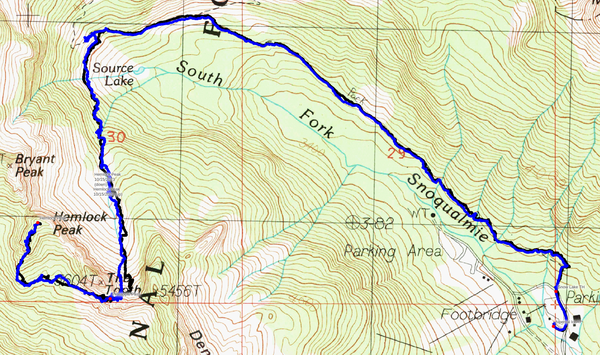
Here's the entire route we followed - blue up, black down.
And here's a zoom in on the final scramble portion with slope angle shading:
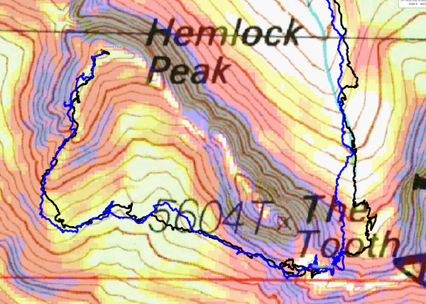
In total, this ended up being ~3,800 feet elevation gain and 8.6 miles roundtrip, so a little more than the standard route, but not that much more. I've never done the standard route, but I would venture to guess that given the variety of the terrain and complexity of approach, the variant we have done is probably more interesting than a straightforward trail walk-up.
We gathered at 8am at Alpental lot A7 surrounded by fog.
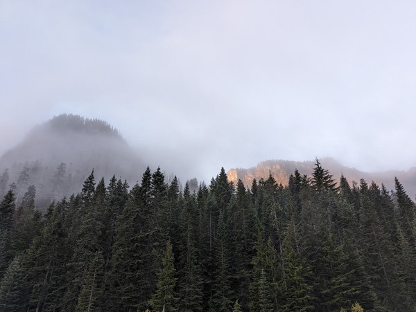
Still quite a few cars at the main lot. We encountered at least a dozen or so people on the summer trail towards Source Lake, but none beyond that, so presumably this is still the Snow Lake crowd. Not as thick as earlier in the season.
The ground and nearby rock were still damp from overnight rainfall:
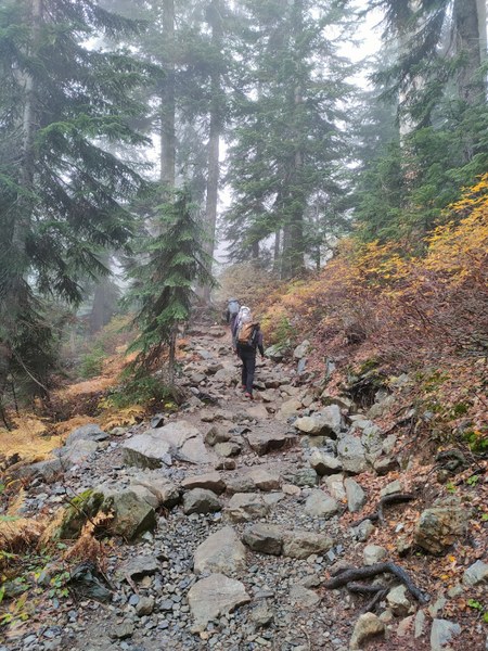
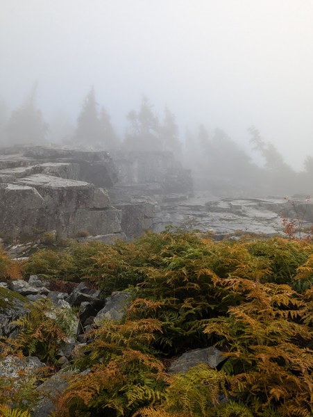
As we walked, we started to see peaks hit by sunshine above the fog, which filled us with hope for decent conditions on the route. The clouds that morning were more sparse than I anticipated based on the forecast. As we approached the Source Lake, the fog lifted slightly to reveal Bryant and the nearby peaks, and we all got excited.
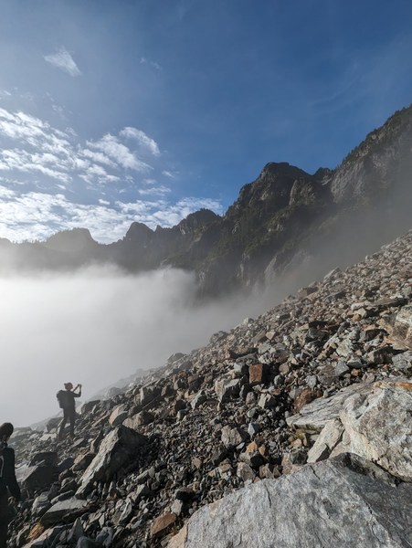
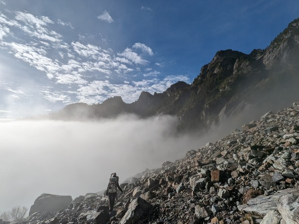
Soon we were above the fog.
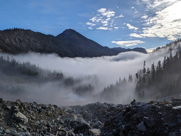
Crossing the talus on the way towards the Greeat Scott Bowl:
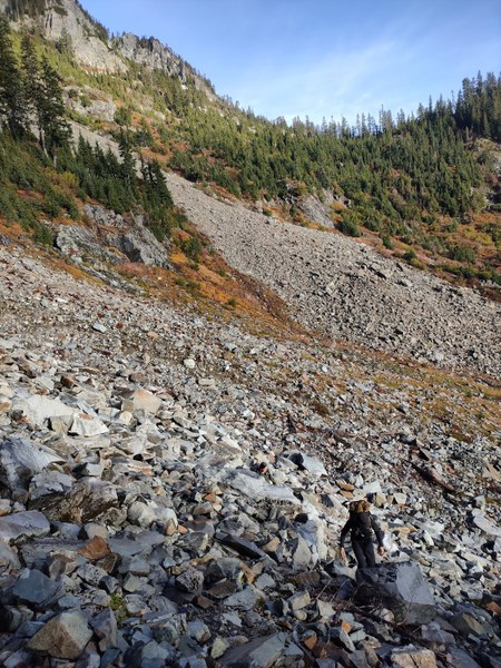
And here we go. I've never been here so late in the season, and I was amazed how it all melted out.
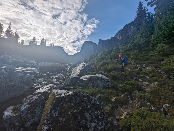
Crossing the boulder field up and down was probably the most tedious and tiresome part of the trip, but at least we had Hemlock and its neighbors in all their glory to look at under a clear sky from a close distance.
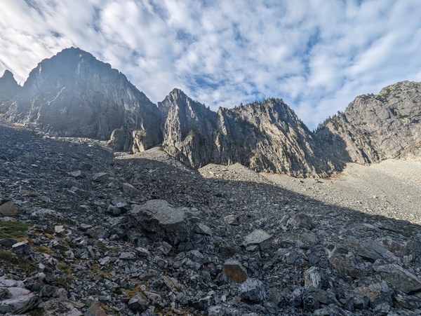
Almost there, still in good spirits:
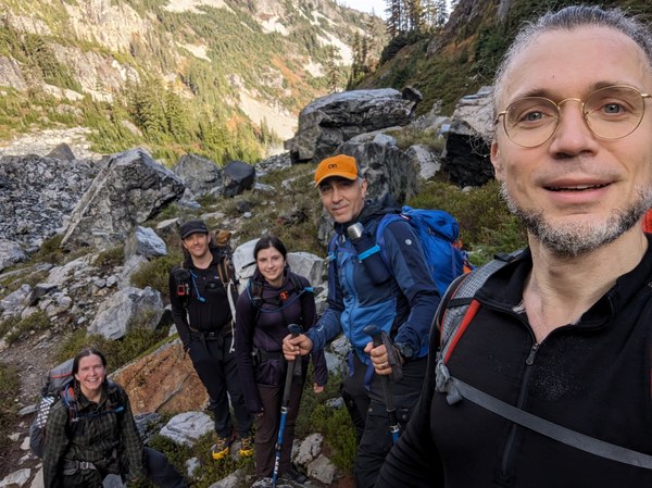
The last few steps towards the gulley:
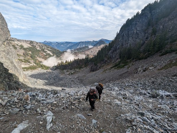
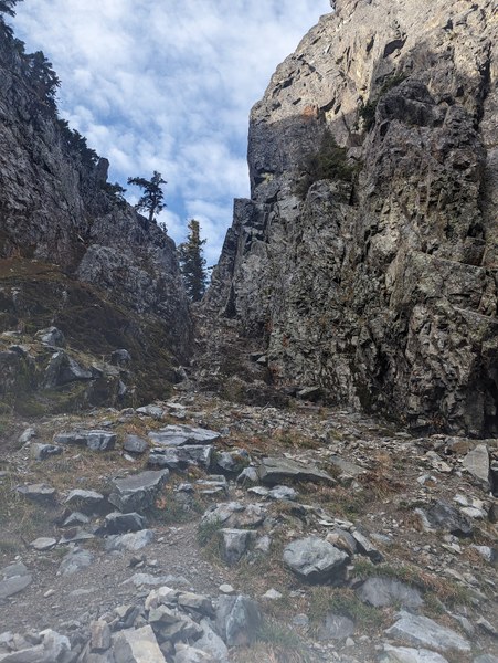
And here's the final gulley to get to the other side:
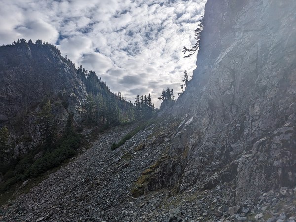
In the eventuality that it rained and/or we didn't like what we saw on the way over or on the way back, our backup plan was the talus field to the left:
In total, getting to the pass took about 2.5 hours at a brisk pace. We took a longer break at the pass to eat, and a similar longer break earlier.
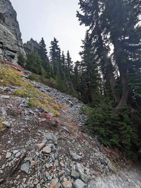
And here we are, on the other side, working our way West towards the base of the ridge that goes along the SSW side of Hemlock.
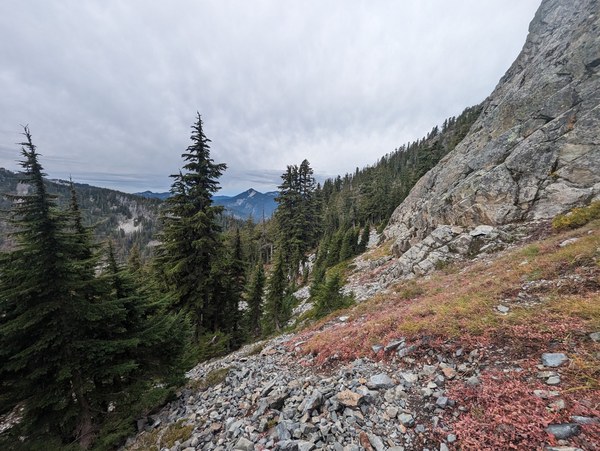
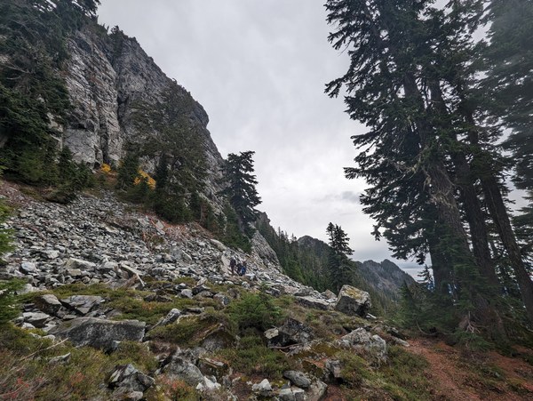
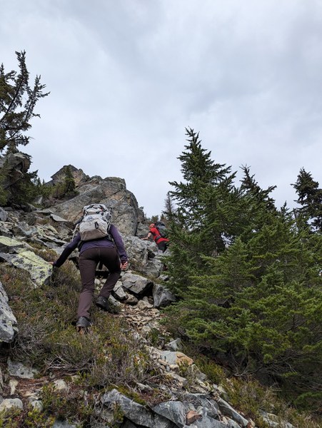
Finally on the ridge, working our way up:
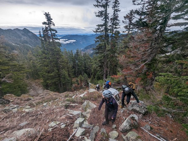
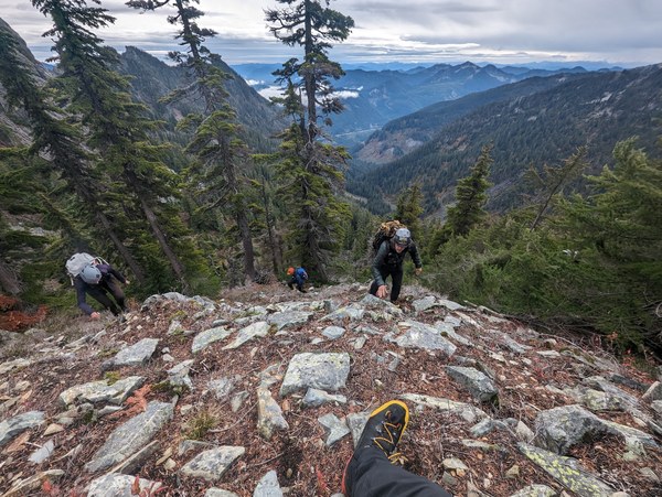
Great views all around:
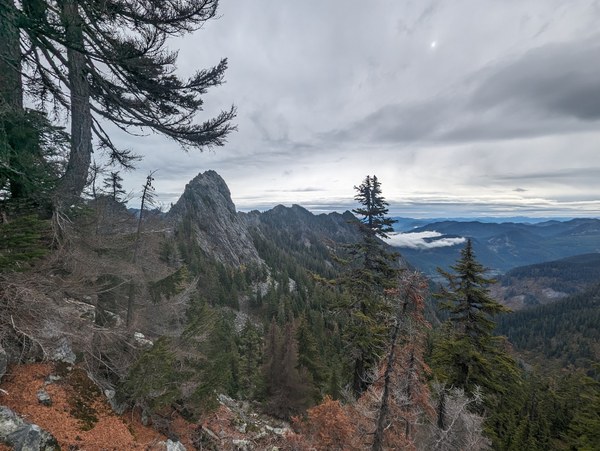
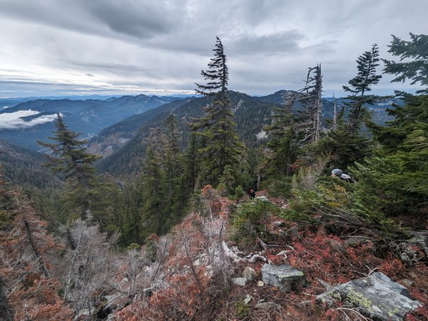
Final bits:
Is this the summit? Who knows. Took selfies and pictures of each other, just in case. We would't want the guy with the measuring tape and the fancy GPS contraption invalidate our proud accomplishment by 3 inches, so we decided to tag all the high points along the ridge towards the spot officially marked on the map, just to be on a safe side.
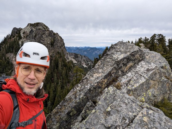
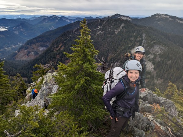
Besides, bushwacking along that last part was fun, and we enjoyed all the views:
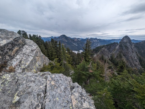
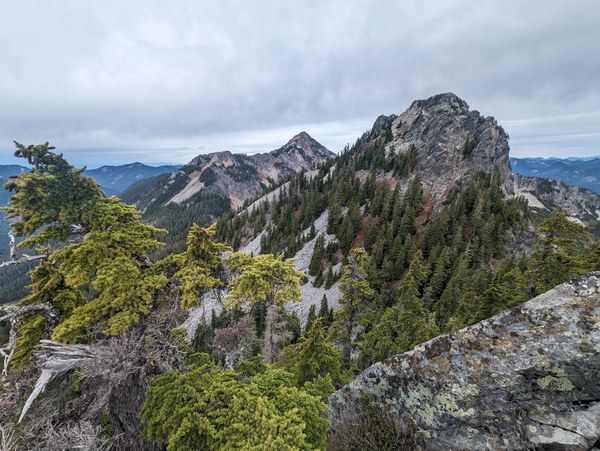
Topping out another high point:
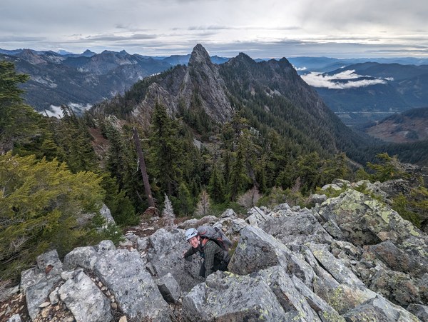
And more views:
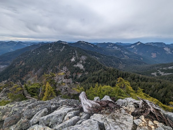
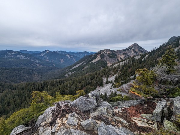
Plowing ahead in straight line through the bushes from one high point to another:
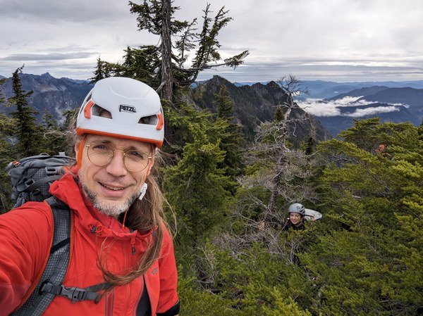
One down, a bunch more to go. Up the next.
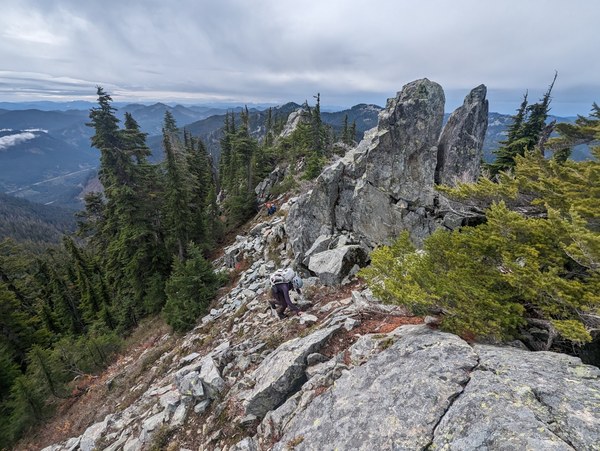
And here we go. Emily was a good sport and kept me company throughout all the bushwhacking.
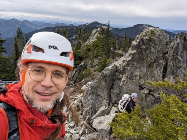
More insurance, in case this is the sumit:
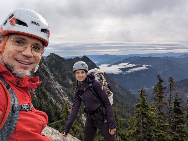
I mean, it looked like it could be... it was pointy and offered nice views:
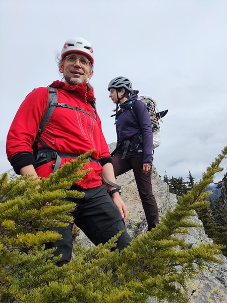
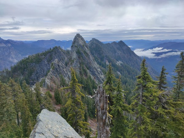
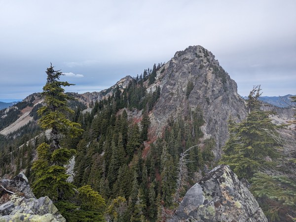
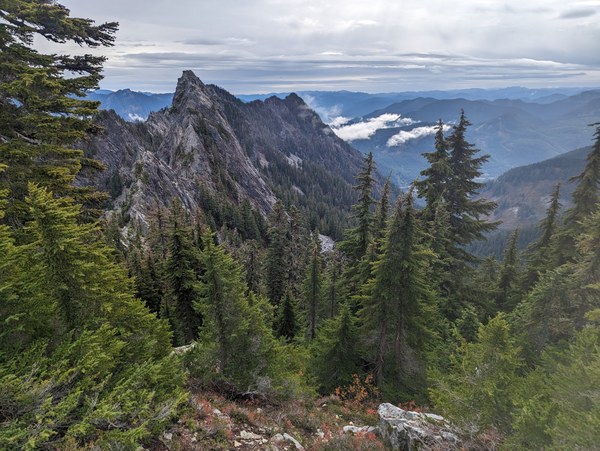
Eventually, we made it all the way to the point marked on the map. Last steps:
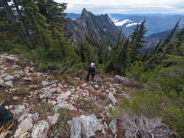
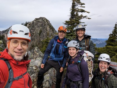
We took the obligatory family picture at what looked like the top:
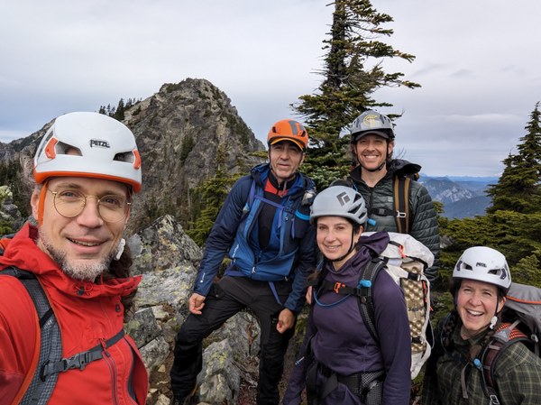
And then, we took another one right around the corner, because you never know:
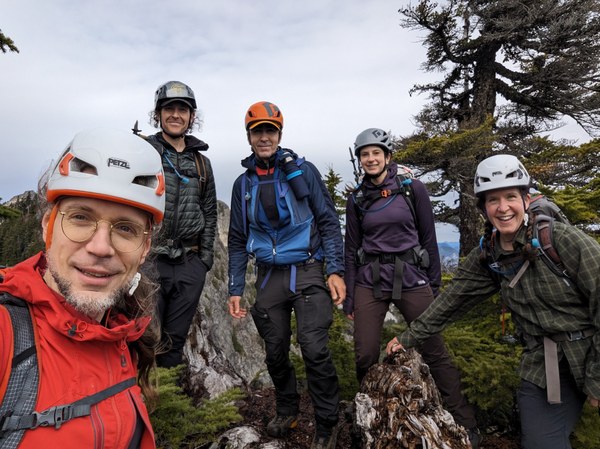
Overall, it took in the ballpark of ~1.5h or thereabouts to get from Pineapple Pass to the summit, as we had anticipated.
We didn't enjoy the summit for long because the prospect of that 2pm light rain was looming on the horizon. It's been more or less dry until around noon, but we started to see an occasional drop since around noon or so, and I've been watching the radar all the way, ready to turn around if it started to look unsafe.
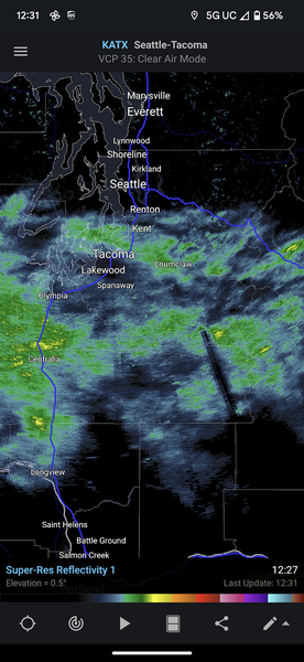
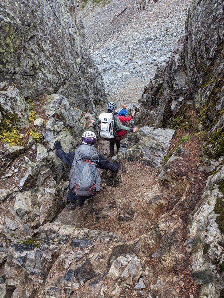
Back to the Pineapple Pass. Going down the wet gully was a bit harder than it it were dry, but we took it slow, and we all managed without issues.
The final boulder field of pain before we get on the trail.
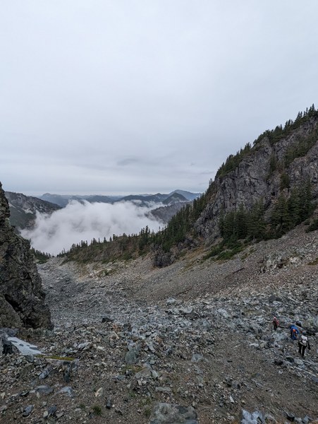
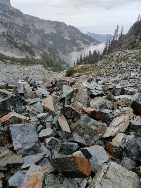
And here we are, back to civilization, relatively speaking:
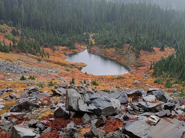
Somewhat gloomier, but still wonderful views on the way out:
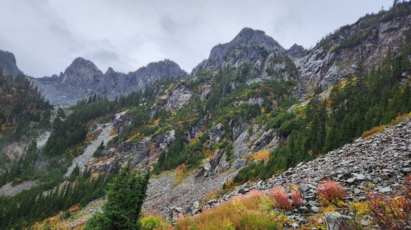
The rain eventually did hit as we were halfway down the trail, but it didn't matter at this point, so overall, everything went as planned.
Back to the cars soaked, but happy:
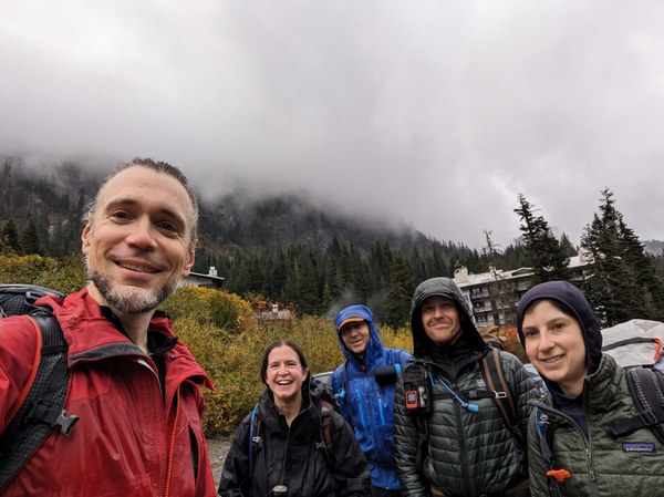
Definitely 5 stars in my book, would do again.
 Krzysztof Ostrowski