Trip Report
Alpine Scramble - Foss Peak
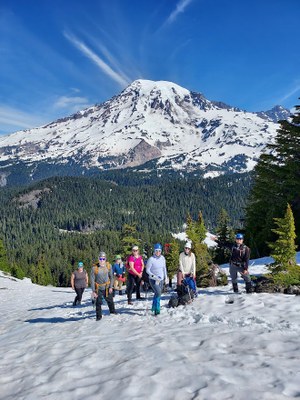
Beautiful Memorial Day weekend for some scrambling. Melting snow made for a bit of a route finding adventure.
- Sun, May 28, 2023
- Alpine Scramble - Foss Peak
- Unicorn, Foss, Boundary & Stevens Peaks
- Scrambling
- Successful
-

- Road suitable for all vehicles
-
Road is open to Reflection Lakes. Snow was nice and firm for our ascent, slippery and soft for our descent. Our planned glissade route is starting to melt out, so we had to descend the final 500 feet the way we came up
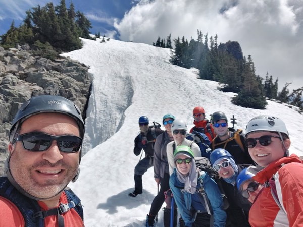
Meet time of 8:00am at Foss Peak trailhead. We had a group of 10. 7 Olympia students, 1 Tacoma student, an assistant, and myself. We had our pre meet at the parking lot and then we were off.
Having led students up Foss a number of times, I knew that our game plan was to ascend to the saddle to the east of Castle, continue on the south edge of the ridge line down to the the lake at 5,940, and then up to Foss directly with a return the same way.
I was a little surprised to see that there was so much loss of snow. In years past, I had led Foss 2-3 weeks earlier than Memorial Day, so maybe it was just being there later than normal. We found a set of foot steps that took us slightly west of what I have done most years, but it was a good foot path that led us up to the saddle and to our 6,200 foot high point just to the east of the saddle.
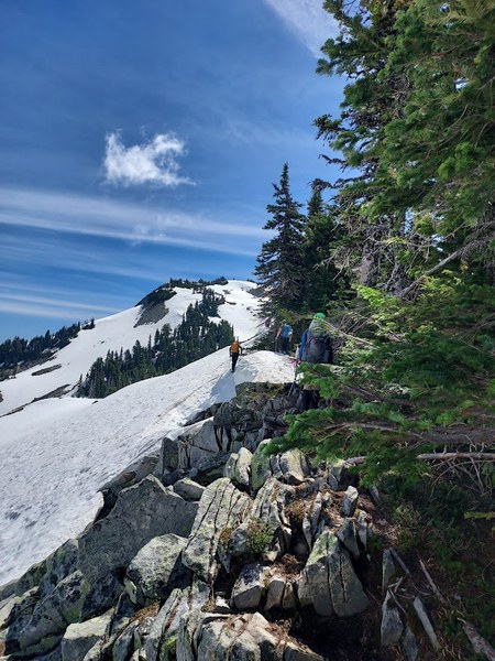
After a break, we descended down on the south side of the ridge that connects over to Foss Peak and traveled along the side hill making sure we kicked in good steps along the way. We were able to catch the ridge and ran the ridge down to 6,000 feet. We then descended about 50 feet to the east end of the snow covered lake and then up the northwest side of Foss. This was a different route than I've taken than in years past where we usually didn't have the ridge available to us. Also, in years past, we've always traveled on the south side of the lake. We continued up to Foss without any issue and made our summit.
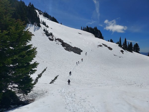
Coming down was a little dicey due to the cornices melting out. We had to carefully plunge step or self belay in a way that our runoff wouldn't be the edge of the cliff. But we all made it to a safe point and we were able to glissade down to just above the lake. We then captured our ridge and then made it back to our high point at 6,200 feet. From the Castle saddle, we glissaded down to about 5,500 feet, but unfortunately our final glissade was not available to us because there was too much snowmelt. So after a little routefinding, we were able to get back to our ascent path and then down to the parking lot.
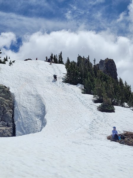
Everyone had a great time. We went to Basecamp for burgers and pizza afterwards. A good day overall.
 Paul Kallmann