Trip Report
Alpine Scramble - Esmeralda Peaks
Interesting spring scramble, using much of the scrambling toolkit.
- Sat, Jun 2, 2018
- Alpine Scramble - Esmeralda Peaks
- DeRoux Creek
- Scrambling
- Successful
-

- Road suitable for all vehicles
-
Many blowdowns on lower portion of trail, but nothing difficult to step over/around, and compact snow after 4,000 feet. Easy place to cross De Roux Creek is at 5,100 in a flat area. Upper basin (above 6,200) filled with snow to the col between the two peaks. Register on westernmost peak.
After a couple of last minute cancellations, our group of eight met at the De Roux Campground/Trailhead at 8am. Admittedly a bit "dehydrated" from the cookout at Beverly Campground the night before, we joked a bit and kept the mood loose.
We followed the easy trail along the creek until snow obscured it. Had to detour a minute to find the correct place to cross the creek again around 5,100 feet after trying to cross too low. From there, we went straight north instead of trying to follow the trail because snow was covering everything and this was a scramble after all.
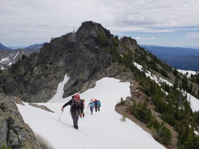
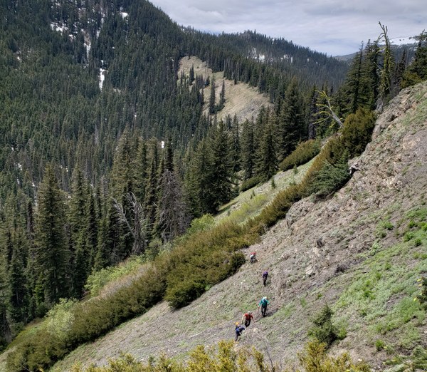
Found our way up a steep, dry, open slope (avalanche slope). Crossed over the ridge to the west a bit between 5,800 and 6,000 feet onto a boulder field to find the usual basin snow-filled. From there it was easy steps up gentle slope to the ridge between the two peaks.
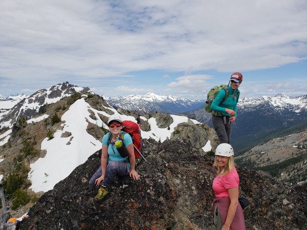
We summited point 6,765 first, finding good rock in an open chimney. Maybe 20 feet of scrambling. After slapping high fives and expressing how excited we were to find something fun to scramble on, we shot on over to the western summit for a snack and a break. There's a crusty old Mountaineers register up there, and we signed our names on the back of a print out of the Esmeralda page from Peggy's guidebook, which was apparently effective enough for someone to make it to the summit.
On the way down, we ran into some Mountaineers from the Everett branch on a private trip. They mentioned they'd climbed Big Snagtooth recently and showed me a photo of a shoddy ladder someone carried up. I mentioned it must be new, because it wasn't up there last August. I don't know what's better; a ladder, poorly made from a pallet, or someone's shoulders. If you ever find yourself on Big Snagtooth and you wish you had a ladder for that last nine feet, just remember that everyone before you wished they had a ladder too.
For the descent, I had expressed to the group that I wanted to take the "old" trail down. The one on the USGS map north of De Roux Creek trail. Turns out, except for a good 1/4 of a mile section, it doesn't exist. At one point we descended below 5,200 feet thinking the trail was below us, but it was not. We went down, traversed, and then went back up exceptionally crappy scree. I was super excited for the students to experience this. Check out the GPS track here. After staying on the bench up high, the going was easy, and as I said, we even found the trail for a minute.
This was a fun adventure, enhanced by good weather, good people, and trying to follow a trail that doesn't exist. We made it back to the cars at 3, time enough for some beers and a good chill out session before the scramble BBQ at Beverly. 6.3 miles roundtrip.


 Brian Hill
 Jeff Bowman