Trip Report
Alpine Scramble - Cadet Peak
A gem of a scramble that includes a bike approach to the old mining townsite of Monte Cristo followed by a hike to the beautiful Glacier basin and a super-fun rock scramble to the peak with stimulating route-finding. Trip rating 4 only because of moody weather.
- Thu, Sep 19, 2019
- Alpine Scramble - Cadet Peak
- Cadet Peak
- Scrambling
- Successful
-

- Road suitable for all vehicles
-
Approach to Monte Cristo can be done in hybrid bikes - mountain bikes are only nice to have.
During that time of the year when weather can be really fickle in the PNW, we thought we had a good window presented to us and decided to attempt Cadet peak.
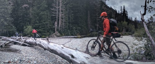
We left the Barlow Pass parking lot around 7:15 AM on our bikes and headed towards Monte Cristo. The Monte Cristo road now has a trail detour but we continued on the old route leveraging on recent beta from someone in the party having done both routes. The bike approach was fun with some carry and/or walk the bike moments interspersed between ride moments.
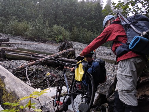
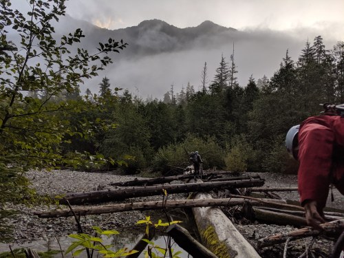
The log crossing is easily negotiable with some team effort. If you are on a mountain bike, the log crossing is probably the only point where you need to get off your bike.
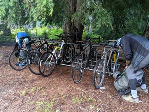
It took us about an hour to get to Monte Cristo. There is a bike stand that can take upto 8 bikes. We locked our bikes and then headed towards the trail for Glacier basin.
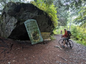
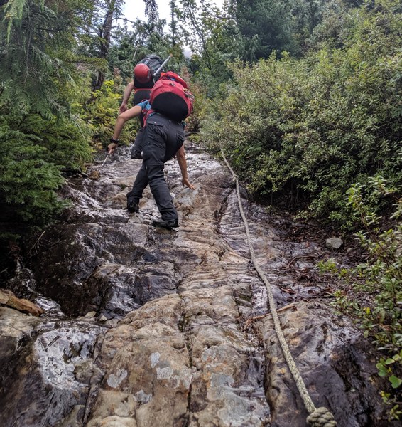
Basically take the first bridge on your left and you will see sign for trails. The trail is pretty straight forward with a couple of scrambly sections where you got some aid in the form of ropes but hey this was a Mountaineers scramble trip so ropes, what ropes ? :)
The hike in to Glacier basin is really pretty and breathtaking.
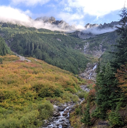
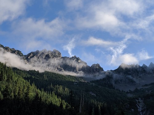
Once we got into the basin and specifically to the house-sized boulders we took a short break soaking in the views of Monte Cristo Peak and the Wilmans Spires while some of us switched to mountaineering mode.
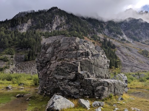
From the basin while looking towards Cadet you will see a blown out gully. We scrambled this gully until we were just about to hit the headwall with a tiny waterfall where we emerged out of the gully to climber's left to a band to red rocks.
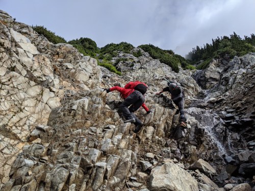
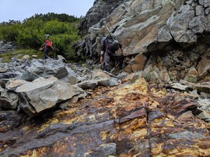
There is some steep cedar brush which one needs to cross to get to another solid gully. The idea is to hit the ridge from this point following the path of least resistance. Following the gully we hit the ridge around 5500'. Once on the ridge there is a faint trail that we followed along the ridge.
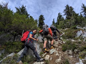
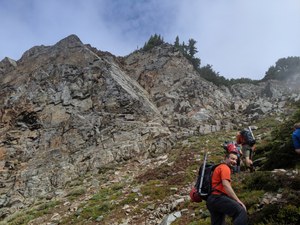
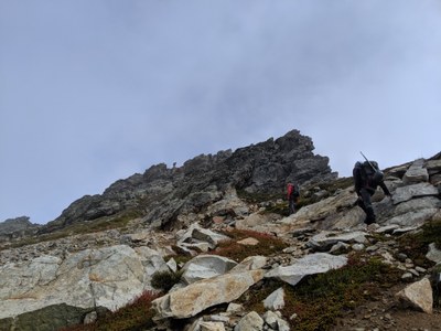
At around 6500' keep an eye out for a very hobbit-like rock feature which is where you need to take a sharp left crossing below this rock. This loose talus traverse eventually led us to the summit ridge.

Once at the ridge we found the ledge to cross the ridge (class 3) and basically started going up following the ridge until we could see the summit on the left. Given the rain showers earlier in the week some of the rocks were slick and needed careful negotiation.
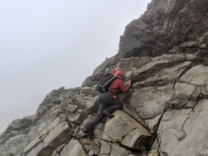
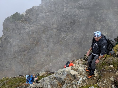 The team did great helping each other out and safely ascending this section. At this point you have left behind the steep terrain. The terrain became mellow very soon and we could see the summit block.
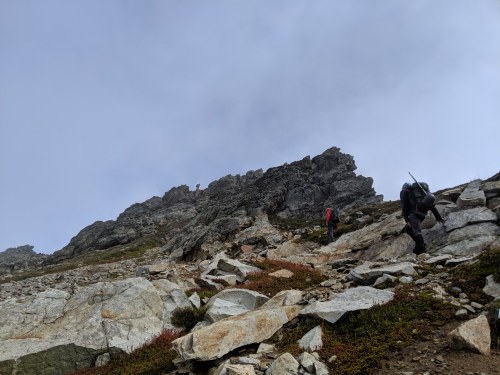
The summit block is an easy scramble but can offer some spicier variations too. Given the slick rocks we did not engage in the spicier options. Summitted around 2 PM but were gutted to be amidst fog and not to soak in the great views. Given the limited hide-and-seek views we didn't spend a lot of time on the summit.
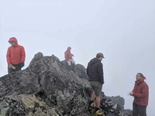
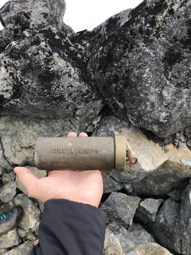 The descent was uneventful backtracking for the most part except when we could see better options. Instead of going back into the blown-out gully that we took from the basin we decided to stay to skiers' right avoiding the steep cedar brush at the expense of some mild bushwhacking with plenty of veggie belays which also worked out pretty well.
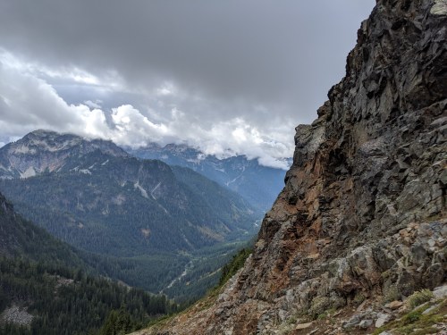
We were back to our bikes by 18:40 and back to cars around 19:30 making is about a 12.5 hours day.
Another great day in the mountains with brilliant company!!
One party member had to deal with leg cramps on the descent (although painful and annoying, these were dealt with through the consumption of snacks, water, and GU/electrolyte replacement and repeated short stoppages to allow the cramps to subside: ultimately the party member was able to successfully descend and hike/bike out with the rest of the party). Although the party member snacked and drank in the Basin before the ascent to the summit, they did not take any additional liquid or nutrition on board until reaching the summit, and should probably have requested the party take a break during the upper portion of the ascent. The leader (yours truly in this case) could also have done a better job making sure everyone is hydrated and refueled at regular intervals. No serious harm, no foul, but a reminder that even on cooler days, all party members need to stay on top of their nutrition and hydration!
GAIA Tracks - https://www.gaiagps.com/public/N2O5LM9uOh1WVRxv1kJoic0J
Acknowledgements:
TR Edits by Stevie Russell.
Photo of the (Mountaineers) cast bronze summit cylinder by Ryan Pope
Reference tracks and TR from https://www.peakbagger.com/climber/ascent.aspx?aid=455827
 Amrit Panda