Trip Report
Alpine Scramble - Big Chief Mountain
Car shuttle (1.5 mi) starting at Stevens Pass Yodelin lot. Ascended open forest and snow E to Peak 5023, ran the ridge N to Welldigger's Ass, then back S to Peak 5023 and Big Chief. Descended from ridge to Stevens Pass (Lot B). IMO this was an S3 T4 snow scramble. 6.5 miles, 3,000' gain
- Sat, May 18, 2024
- Alpine Scramble - Big Chief Mountain
- Cowboy & Big Chief Mountains
- Scrambling
- Successful
-

- Road suitable for all vehicles
-
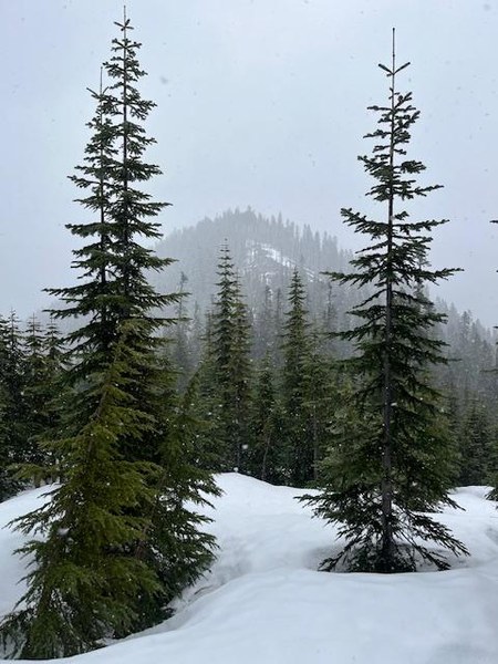
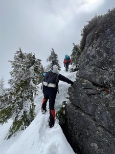
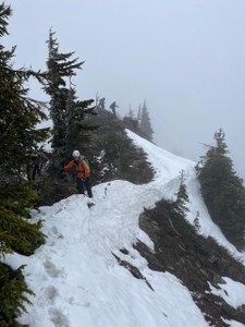
No snow at the TH; the abandoned road up, used in winter by skiers and snowshoers, was a brushy mess. Fortunately we were able to reach open forest near the TH and we avoided the road until we reached snow around 4400'. Good snow from there until we descended below 4400' again near the ski area.The last half mile N of Big Chief was the most challenging terrain; I would call it T4 snow scrambling, weaving along the ridge crest with occasional exposed snow slopes and rock outcrops. All in all, a good car shuttle route.

We left 2 vehicles at Stevens Ski Area Lot B (by the bathrooms) and pooled in 2 others to Yodelin, 1.5 miles "east" (really north) on Highway 2. We started up the old forest road from there, as several winter
GPS tracks did, but it was already melted out and thick with slide alder and/or vine

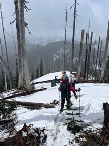
maple. Fortunately there is mature conifer forest just SE of the Yodelin lodge and once we headed for that, we had fairly steep but manageable forest to ascend, not too brushy. We found continuous snow around 4400' and equipped snowshoes.
We intended to aim for the saddle S of Welldigger's Ass but the terrain carried us more or less to Peak 5023 so we tagged it first. Ran the ridge N to Welldigger's Ass, and back, then continued S to Big Chi
ef. We had no route description or tracks for this portion of the trip and the last half mile N of Big Chief was the most challenging terrain up to that point. I would call it T4 snow scrambling, weaving along the ridge crest with occasional exposed snow slopes.


We spent 20 minutes or so at Big Chief summit, then continued along the ridge about 1/3 mile to a point where a GPS track descended earlier in the season. In hindsight, I think we should have continued on the ridge to the top of Big Chief chairlift and enjoyed a glissade opportunity on the ski slopes. The direct descent was unpleasantly steep given the consolidated snow and exposed dirt that we had; it was tedious and probably saved no time, maybe took longer.
Yodelin TH at 8:20; Pk 5023 at 10:20, Welldigger's Ass at 11:15, Pk 5023 again at 12:10, Big Chief at 14:20, Stevens Lot B around 16:40. 6.5 miles, 3,000' gain
 Jerry Stein
