
Trip Report
Alpine Ice Climb - Observation Rock/North Face
Too early in season for a quality ice climb. Lots of medium to soft snow. Most efficient climb would be running belay with pickets under these conditions. Spray Park was gorgeous and worth a hike in itself.
- Sat, Sep 5, 2020
- Alpine Ice Field Trip - Ice Climb - Observation Rock/North Face
- Observation Rock/North Face
- Climbing
- Successful
-

- Road suitable for all vehicles
-
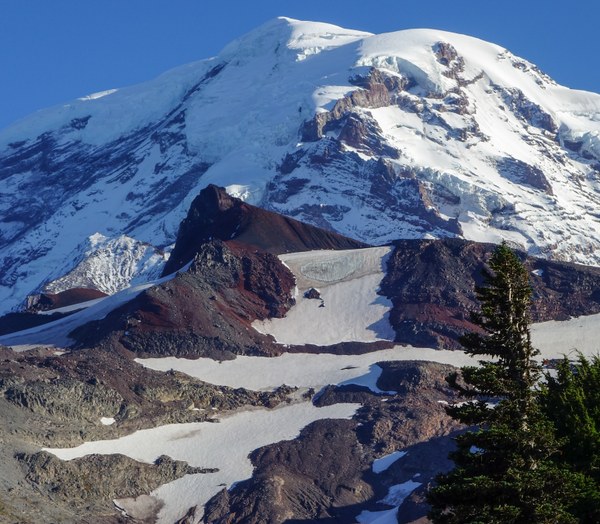
Spray Park Trail in great shape. One small snow patch around 3.5 mile point. Clear trail to the snowfields below the climbing route. Route itself still has too much snow for a quality ice climb (Sep 5). Best climb would be running belay with pickets in current conditions. Did find some better ice to hold screws higher on the route.
Scree from the top of the ice/snow climb to the summit of Obs Rock. Class 2.
Depart 6:15AM onto Spray Park trail for the first 4.1 miles from Mowich Lake walk-in CG. Very nice National Park trail. One bear sighting - sow with 2 cubs at several hundred yards.
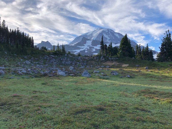
One very small snow patch on Spray Park trail at 3.5 miles or so. Left Spray Park trail at 4.1 at a big cairn onto a pretty well marked trail to the south toward Obs Rock. Wore approach shoes to the snowfield at around 7000'. No snow to this point. Shifted to boots here. Crossed two small snowfields and talus staying climber's left of a ridge to reach the climbing route.
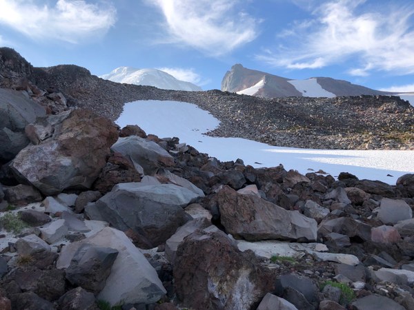
Lower route had about 2 feet of snow above any ice and decreased somewhat as we climbed. Did find some solid screw placements high on the route. 4 pitches to the flat snow cap.
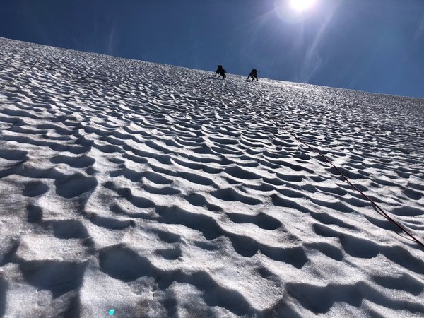
Unroped and put away the crampons, harnesses and ropes and scrambled climber's left on scree to the summit.
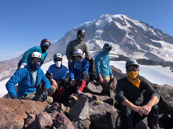
Descent was contour around the summit block to the south and east following the trail thru scree keeping the Obs Rock summit on left while descending.
Put the crampons back on for descending three snowfields working our way back to the bivy shelter near a small stream below the last of the snowfields. Shifted back to approach shoes and filtered a little water here for the hike out.
Back to the trailhead at Mowich Lake at 7:30PM for a 13 hour round trip. Map here:
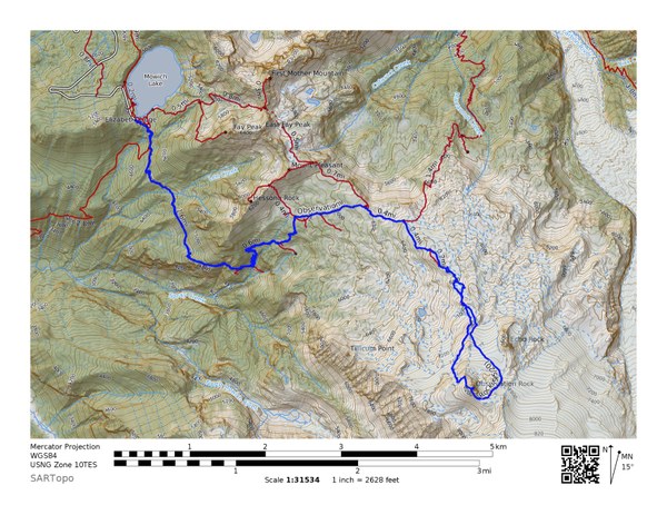
 Gaia GPS link here: https://www.gaiagps.com/datasummary/track/d496faad16ca5db05fedaa37e94b26b8/?layer=GaiaTopoRasterFeet
 Jerry Logan