Trip Report
5050 Pass - Valhalla Peak WS
Gorgeous views in all directions (especially of Mt. Constance), and a welcome pandemic workout on this 5K’, 7 mile Winter Scramble from the Dosewallips River Road.
- Sat, Nov 21, 2020
- 5,050 Pass from Dosewallips Road
- Scrambling
- Successful
-

- Road suitable for all vehicles
-
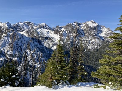
We had unexpectedly warm temperatures on this brief respite from recent rainy/stormy weather. Encountered intermittent snow at ~3400’, followed by a mandatory transition to snowshoes at ~4000’. On the final summit ridge there was unconsolidated wallowing snow (plus very cold temperatures) on the north side, and easier snow/much warmer temperatures on the south side. We brought micro-spikes but did not use them. The summit area had very little snow (possibly due to high winds):
The trailhead at the end of the Dosewallips River Road was surprisingly congested, but we were by ourselves on the 5050 Pass trail (I wonder why, possibly due to steepness aversion ;). As always, we greatly enjoyed the sudden appearance Mt. Constance on the summit of Valhalla (Pt. 5345):
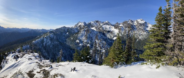
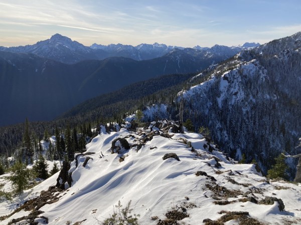
as well as the backside of The Brothers and many other remote peaks to the SW:
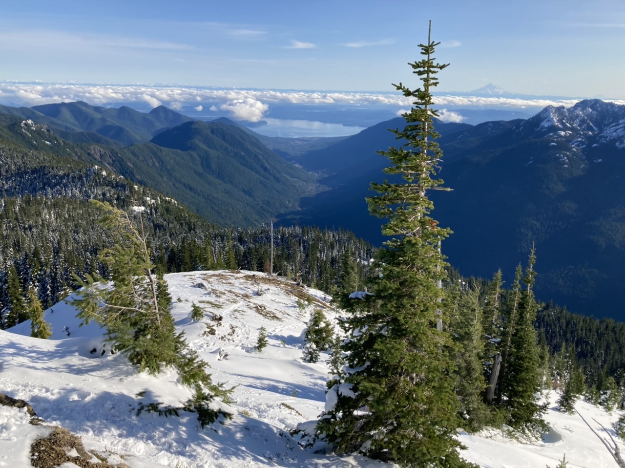
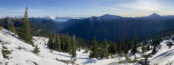
The combination of lowland views of Hood Canal, Mt. Rainier, and Mt. Jupiter across the valley are a particularly unique experience made possible by this venue’s unusual topology:
We did encounter a single 2 person - 1 dog party on the summit that came up the Tunnel Creek trail. With several lengthy breaks at ~3000’ and the summit, our total trip time was ~8 hours with 4.5 hours for the ascent. Photos from this and other trips to this venue can be seen here. On a separate but related note, these photos include a marked up photo of the eastern aspect of Mt. Constance showing segments of the ‘Terrible Traverse’ route. You can see photos from a 2013 trip that used this route here.
 Dave Morgan