Trip
Day Hike - Ingalls Creek
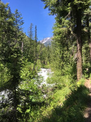
A large and lovely variety of wildflowers with a roaring creek providing the soundtrack. 14 miles, 2000', 1.75 MPH out, 2.25 back.
- Thu, Jun 8, 2023
- Foothills Hiking Committee
- Day Hiking
- Adults
- Strenuous
- Challenging
- Mileage: 14.0 mi
- Elevation Gain: 2,000 ft
- Pace: See summary
- 1 (11 capacity)
- Cancellation & Refund Policy
8:30 AM at the Ingalls Creek trailhead, use google maps and this google maps location https://goo.gl/maps/tALfb7F8frgZmTzP8
1 Carpooling option is the East Sunset Way Trailhead (just off of I-90, exit 18) at 6:30. Here is the google maps link https://goo.gl/maps/uiN5GRpsoECzsnnz5 I will need one person that is willing to drive to meet me there. I do not have a car; in the unlikely event that nobody is willing to do that, I will need to cancel the trip (I am triple-boosted and had Omicron BA5, my immunity couldn't be much stronger).
There could be ticks and rattlesnakes.
Ingalls Creek
-
Green Trails Mt Stuart No. 209
Green Trails Alpine Lakes East (Stuart Range) No. 208SX
USGS Mount Stuart
Green Trails Liberty No. 210
USGS Liberty - See full route/place details.
Required Equipment
- Navigation
- Headlamp
- Sun protection
- First aid
- Knife
- Fire
- Shelter
- Extra food
- Extra water
- Extra clothes
