Field trip: GoHike: Beginner Hiking Course
May Hikes: 3 to 5.5 miles, 300 to 1,250 feet gain - Coal Creek Natural Area
Rich in historical artifacts, lush foliage, wooden bridges, and waterfalls, the well-groomed and well-traveled Coal Creek Trail is a satisfying hike. This hike can apply toward your GoHike Series graduation!
- Sun, Apr 25, 2021
- Foothills Hiking Committee
- Day Hiking
- Adults
- Easy
- Easy
- Mileage: 3.5 mi
- Elevation Gain: 350 ft
- Pace: 1.5mph
- 2 (9 capacity)
- Cancellation & Refund Policy
2:00 PM at Sky Country Trailhead parking lot
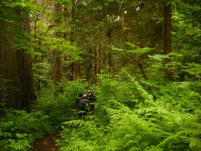
Rich in historical artifacts, lush foliage, wooden bridges, and waterfalls, the well-groomed and well-traveled Coal Creek Trail is a satisfying hike for families, trail runners, history buffs, and avid hikers. We'll hike this out-and-back trail from from the east (Red Town Trailhead parking lot).
Starting from the Red Town Trailhead parking lot, we will cross Lakemont Boulevard to the signpost indicating the Coal Creek Park Trail. Follow the soft dirt path and descend into the forest on the gently rolling trail. Pause at an information kiosk on your left to learn about the railroad and coal mining activities that took place in this area from the mid-1800s to mid-1900s. Opposite the information kiosk, spot the airshaft of coal mine that extends over 500 feet below sea level. There is a short, 0.1 mile interpretive trail you can explore here as well.
Continuing towards Coal Creek Parkway, cross a wooden bridge over Coal Creek and come upon a short spur trail to a waterfall called North Fork Falls. Take a break on one of the wooden benches here to savor the peaceful and calming flow of the rushing water.
Head back to the Coal Creek Trail and continue on the wide dirt path. Pass a sign for the Cinder Mine Trail, a newly built 0.3 mile trail that leads to a small parking area off Newcastle Golf Club Road.
Back on the main route, about 400 feet past the Cinder Mine Trail sign you'll notice a square, roughly 8x8 foot cement footing on your left. This footing was the base of a former locomotive turntable that turned locomotives 180 degrees, enabling them to exit and enter the area.
Pass the turntable site and walk through a sun-dappled gallery of towering trees reaching multiple stories above you, and come upon a wooden staircase. Head up the staircase and emerge onto a wide gravel road with a thicket of blackberry bushes lining the trail on your right. In summer, you can enjoy ripe blackberries as an impromptu snack.
Continue up the gravel road, following signs for Coal Creek Parkway. Arrive at a bench overlooking a ravine to the right of the trail, and enjoy the sweeping canopied views before you.
Required Equipment
TBD
