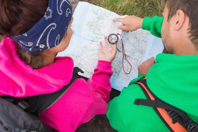
Field trip: Backpacking Building Blocks (B3) Course
"Staying Found" Basic Navigation for Hikers and Backpackers - Tradition Plateau Interpretive Shelter
Hands-on field day focused on learning and practicing key skills useful to maintain an ongoing awareness of where you are and find yourself if you get lost, in even the most complicated trail system.
- Sat, Jun 11, 2016
- Foothills Backpacking Committee
- Day Hiking, Backpacking, Navigation
- Singles, Adults, 20-30 Somethings, Retired Rovers
- Moderate, Moderate/Strenuous, Strenuous
- Moderate
- $25.00
- 6 (12 capacity)
- FULL (7 capacity)
- Cancellation & Refund Policy
Please arrive by 8:45AM or earlier to find a parking space, use the restroom and make your way to the Tradition Lake Interpretive shelter for a 9AM start. If you have not yet set the declination on your compass before the class, come at 8:30AM so that one of the instructors can help you set it.
Google map directions to the High Point trailhead parking area: https://www.google.com/maps/dir//47.5304,-121.9436/@47.5303787,-121.9457905,17z/data=!4m4!4m3!1m0!1m1!4e1?hl=en.
This hands-on field training day, offered at a 50% discount to B3 course students, provides focused information on key skills and tools, and hands-on practice on the trail, to become confident reading a topographic map against the features of the terrain around you, get important information from a compass and altimeter, and maintain a steady awareness of where you are as well as how to find yourself if you get temporarily misplaced.
Tradition Plateau Interpretive Shelter
-
Green Trails Tiger Mtn No. 204S - See full route/place details.
Required Equipment
Required:
* Ten essentials, raingear and plenty of warm layers including warm hat and gloves (we'll be stationary for awhile in the shelter and it can be chilly)
* Compass with adjustable declination (see http://www.rei.com/learn/expert-advice/compass-declination.html, http://www.thecompassstore.com/comwitaddec.html)
* Green Trails Tiger Mountain map #204S
* Watch
Recommended:
* Altimeter, or smartphone with altimeter app
