


Fire & Ice Cave Loop
Distance
53 Mi.
(85 KM)Days
2
% Unpaved
86%
% Singletrack
0%
% Rideable (time)
99%
Total Ascent
4'
(1 M)High Point
4,267'
(1,301 M)Difficulty (1-10)
5?
- 1Climbing Scale Easy0 FT/MI (0 M/KM)
- -Technical Difficulty
- -Physical Demand
- -Resupply & Logistics
Contributed By

Molly Sugar
There are numerous inactive lava tubes and caves surrounding Mount Adams, the second tallest mountain in Washington State. The Fire and Ice Cave Loop connects those underground lava tubes with huckleberry fields and secluded lakes to showcase the diverse landscape that this region has to offer.
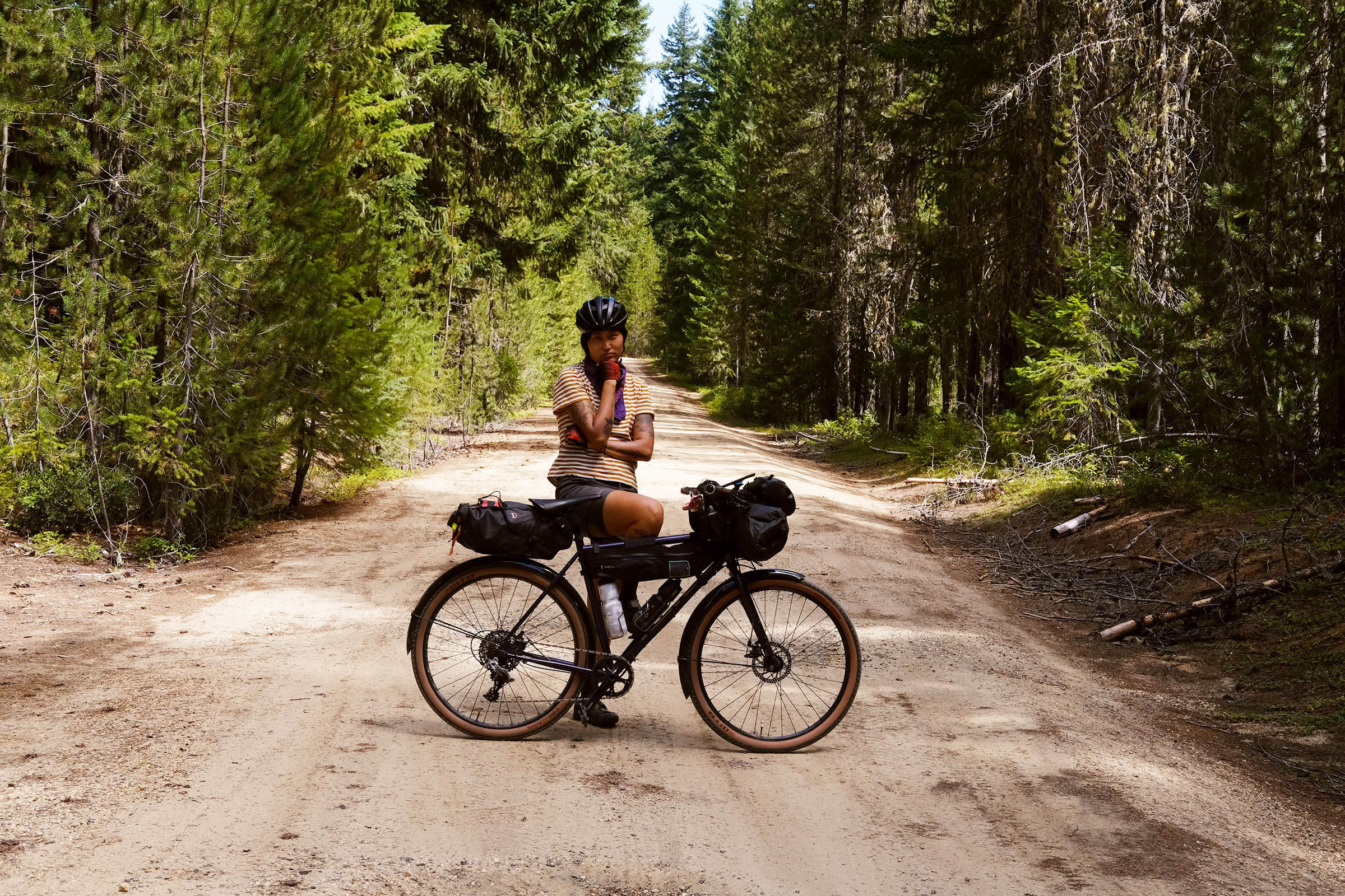
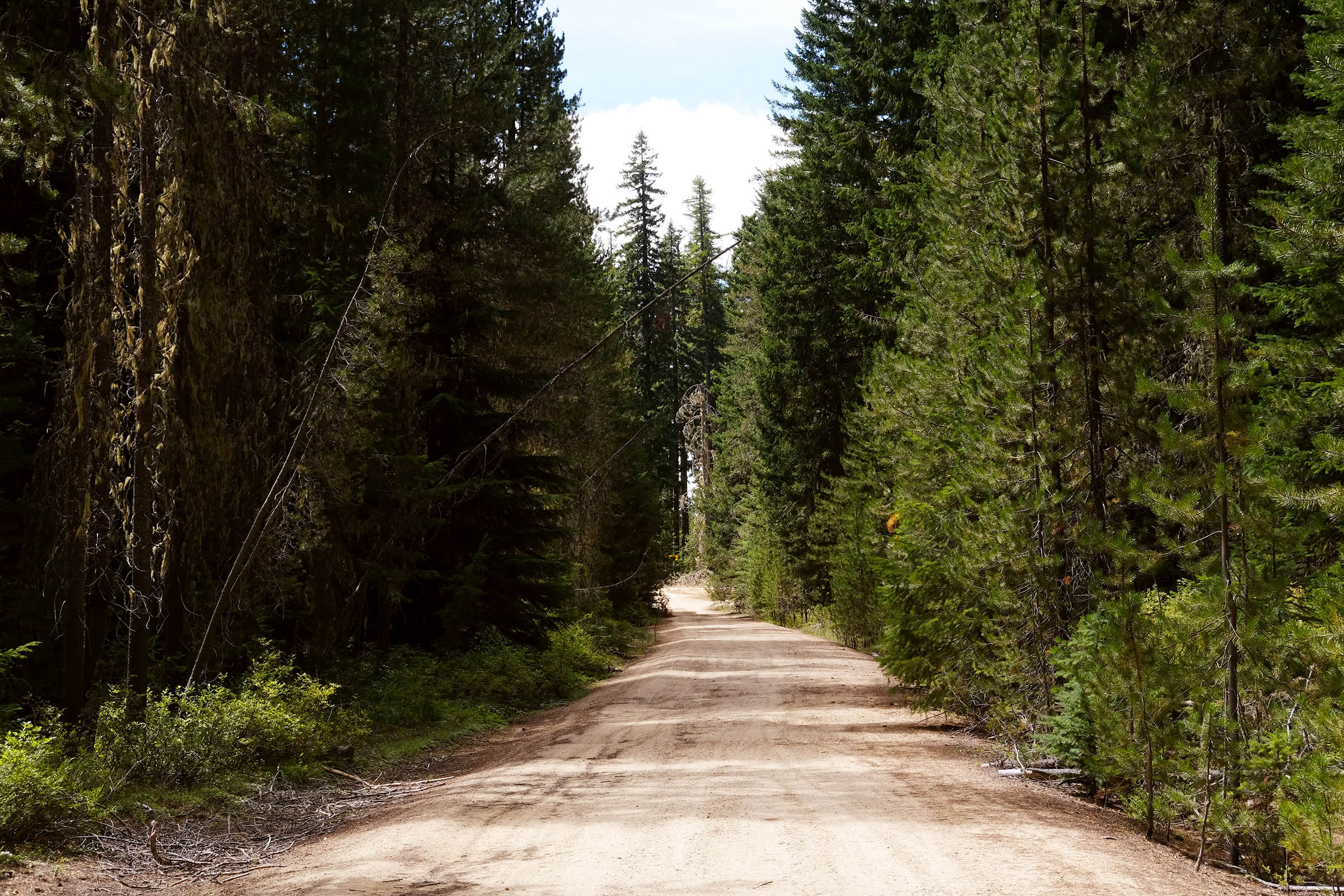
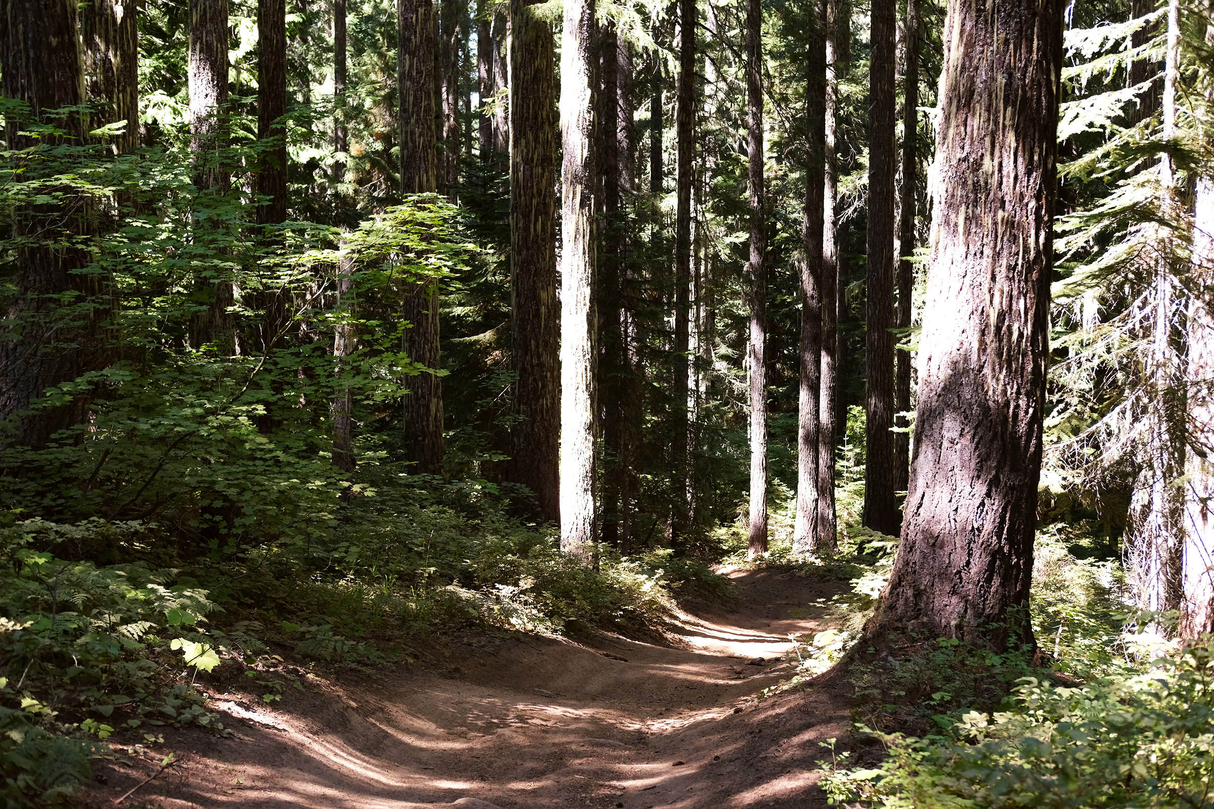
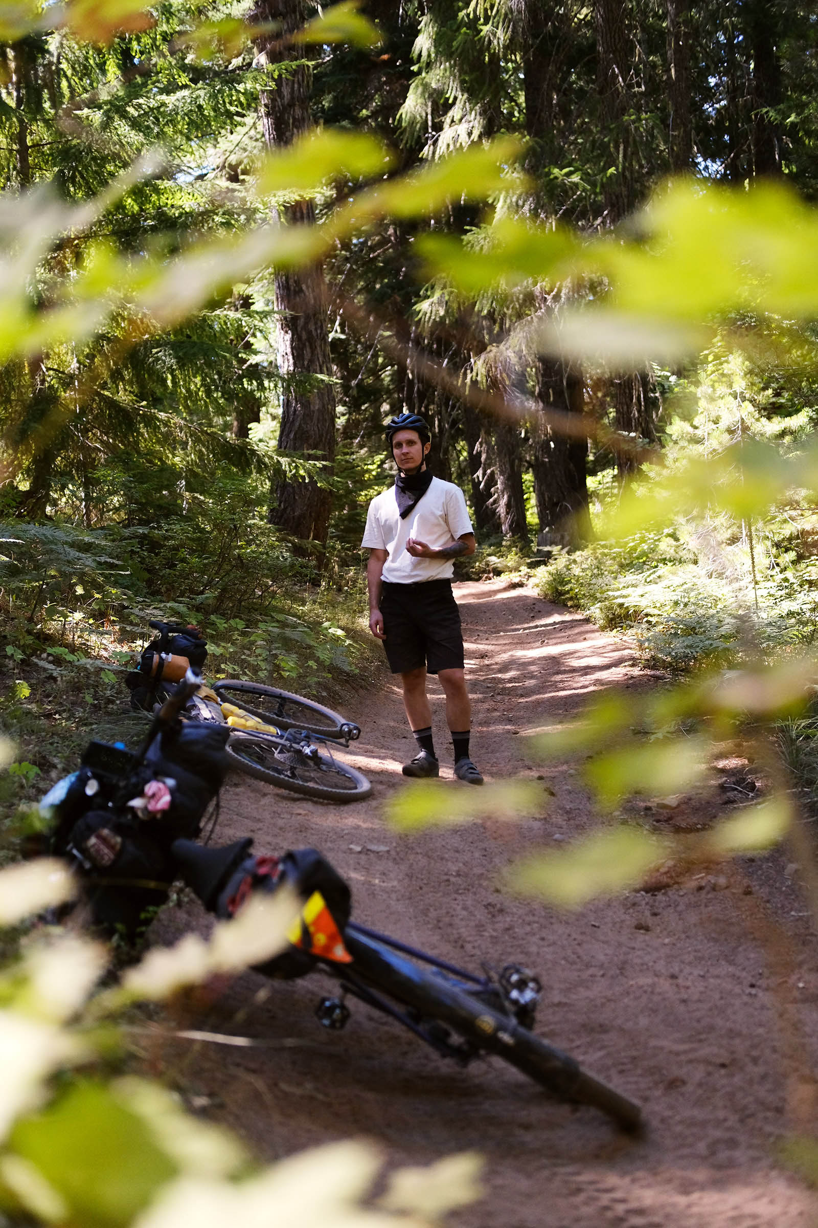
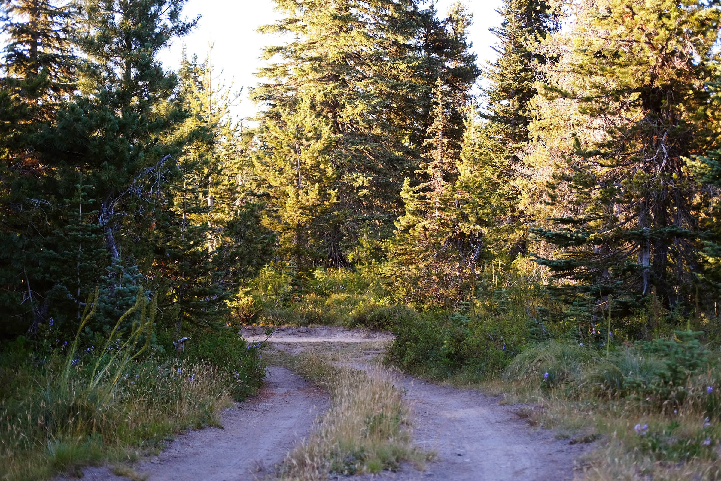
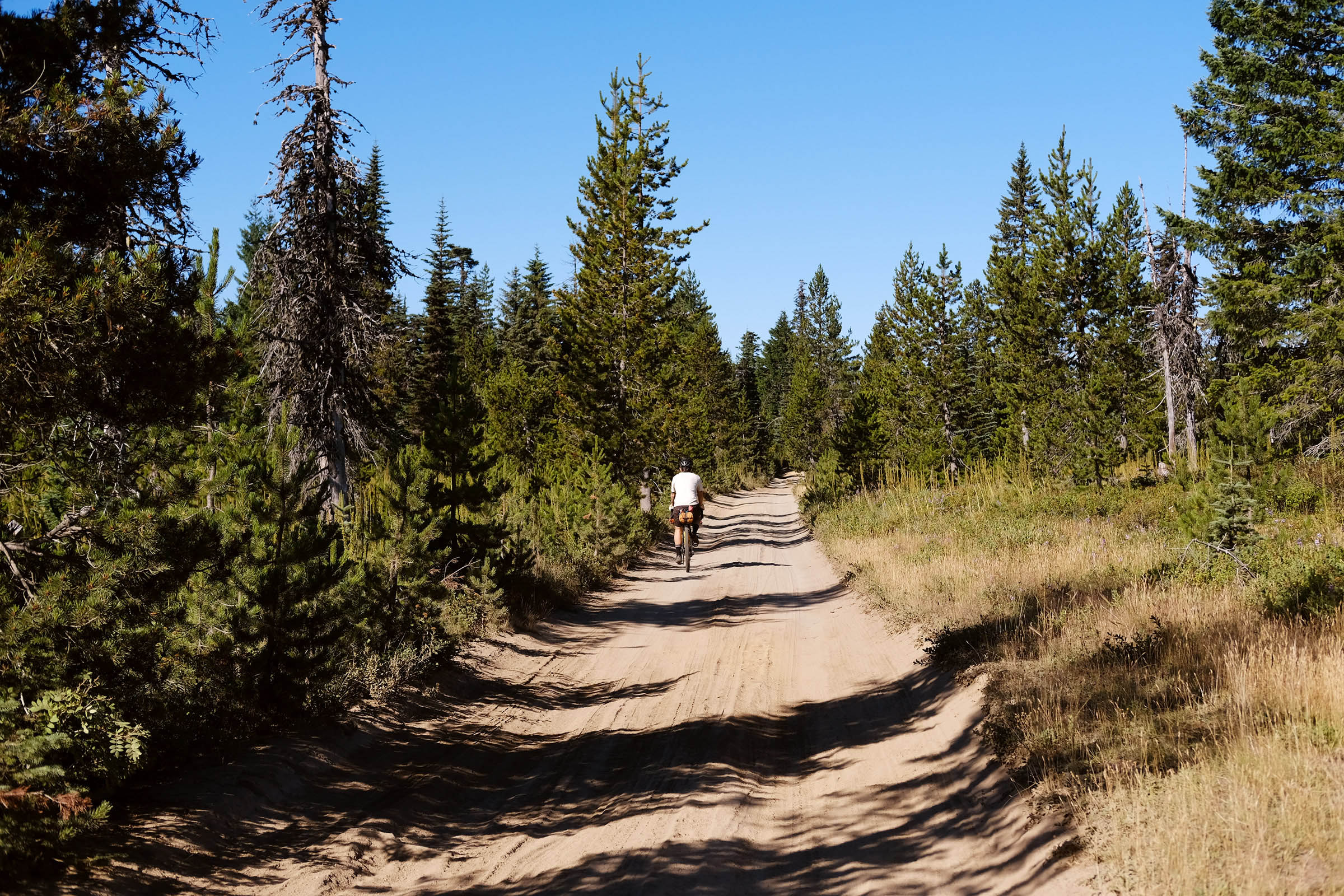
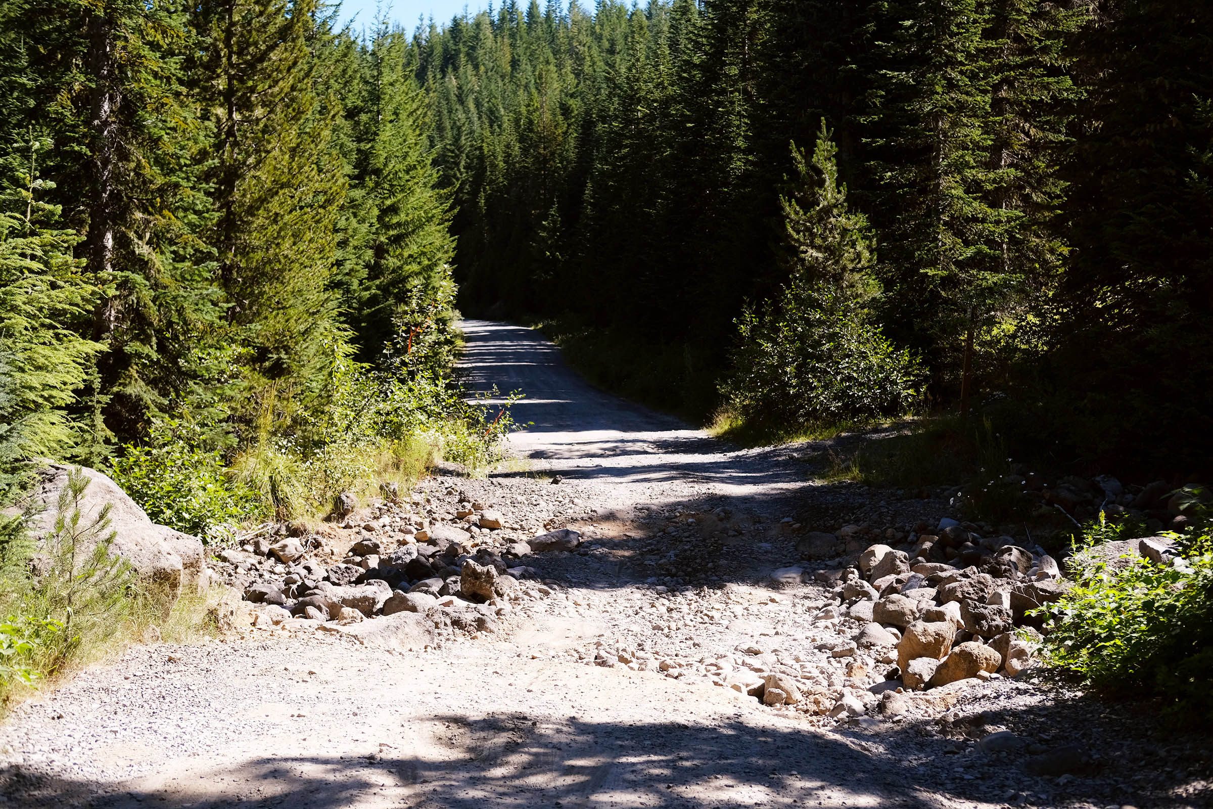
The Fire & Ice Cave Loop is a beginner-friendly overnighter bikepacking route designed to begin and end near Goose Lake with overnight camping by Surprise Lakes and a spectacular view of Mount Adams. You can start from the Pacific Crest Trailhead or Goose Lake, where you begin on a rolling gravel road that connects to a secluded dirt trail to the unique Natural Bridges. Click “Trail Notes” for the full description.
Land Acknowledgement
The route navigates around the Indian Heaven Wilderness, a culturally important area for Northwest Indigenous tribes, “Indian Heaven” was originally called “Sahalee Tyee,” which means “the chief’s high, heavenly ground.” For over 9,000 years, the Yakama, Klickitat, Cascades, Wasco, Wishram, and Umatilla tribes gathered here to pick huckleberries, fish the many lakes, hunt elk and deer, trade goods, and celebrate this area’s bounties. In the southern part of the wilderness, they raced horses frequently enough to create tracks that are still visible. In a rare handshake agreement in 1932 between the Forest Service and the Yakama Tribe, the Sawtooth Berry Fields on the northeastern side of the wilderness area were reserved for local tribes. Learn more about Indigenous history in this area on Wikipedia.
To contribute to Yakama Nation, Peacekeeper Society of Yakama accepts tax-deductible donations on their website. They mobilize tribal trainers and wisdom keepers from various Indian Nations to help promote positive social change.
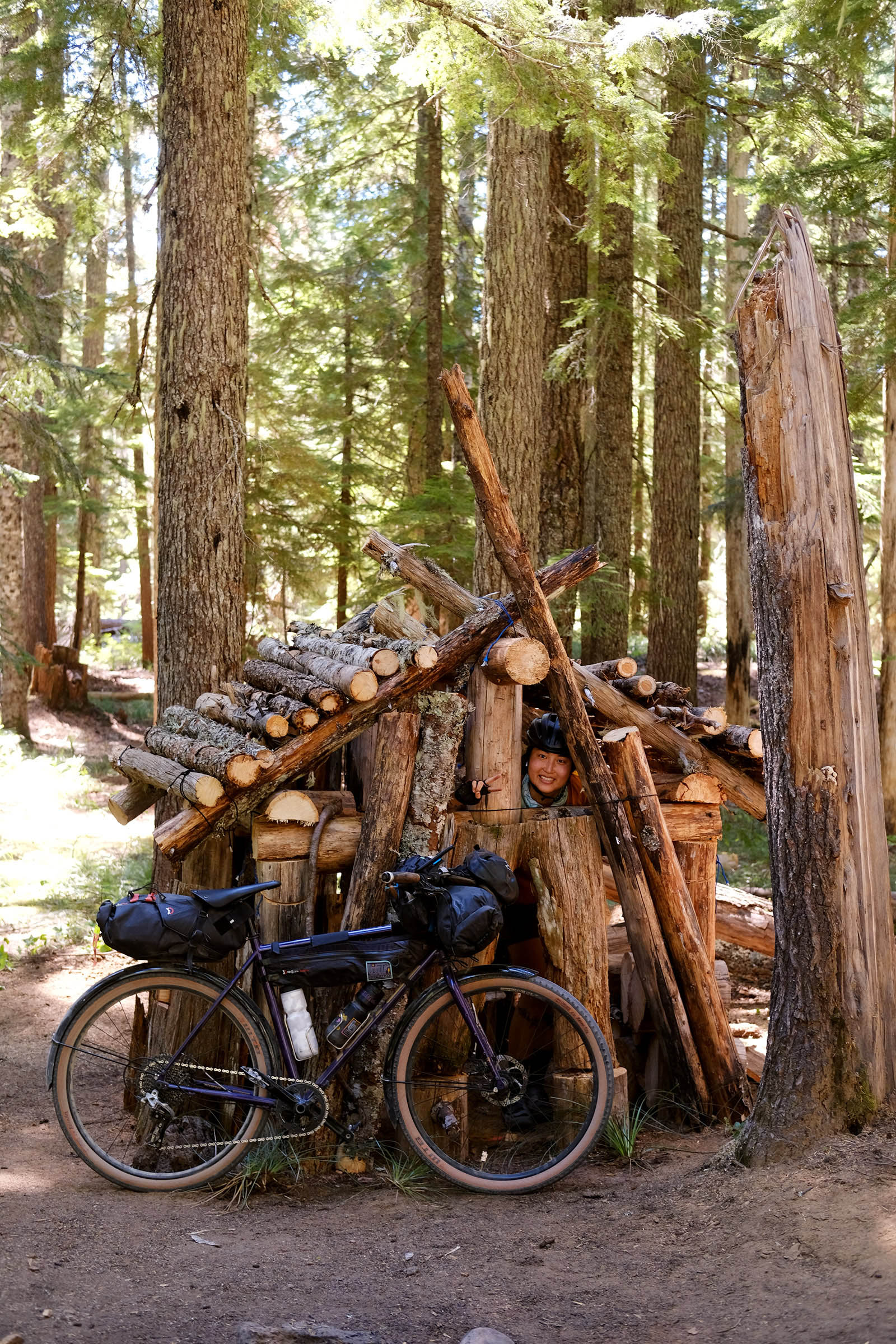
Route Development: Illustrations by Skyler Elzy were inspired by the former Berry Fields Interpretive Site that represented the 1932 Handshake Treaty. Words from the original interpretive site, “The creator made the mother earth, the mountains, streams, trees, animals, roots, and berries and made it sacred. May the future generations honor and respect the work of the past leaders working in harmony to create the treaty.”


Submit Route Alert
As the leading creator and publisher of bikepacking routes, BIKEPACKING.com endeavors to maintain, improve, and advocate for our growing network of bikepacking routes all over the world. As such, our editorial team, route creators, and Route Stewards serve as mediators for route improvements and opportunities for connectivity, conservation, and community growth around these routes. To facilitate these efforts, we rely on our Bikepacking Collective and the greater bikepacking community to call attention to critical issues and opportunities that are discovered while riding these routes. If you have a vital issue or opportunity regarding this route that pertains to one of the subjects below, please let us know:
Highlights
Must Know
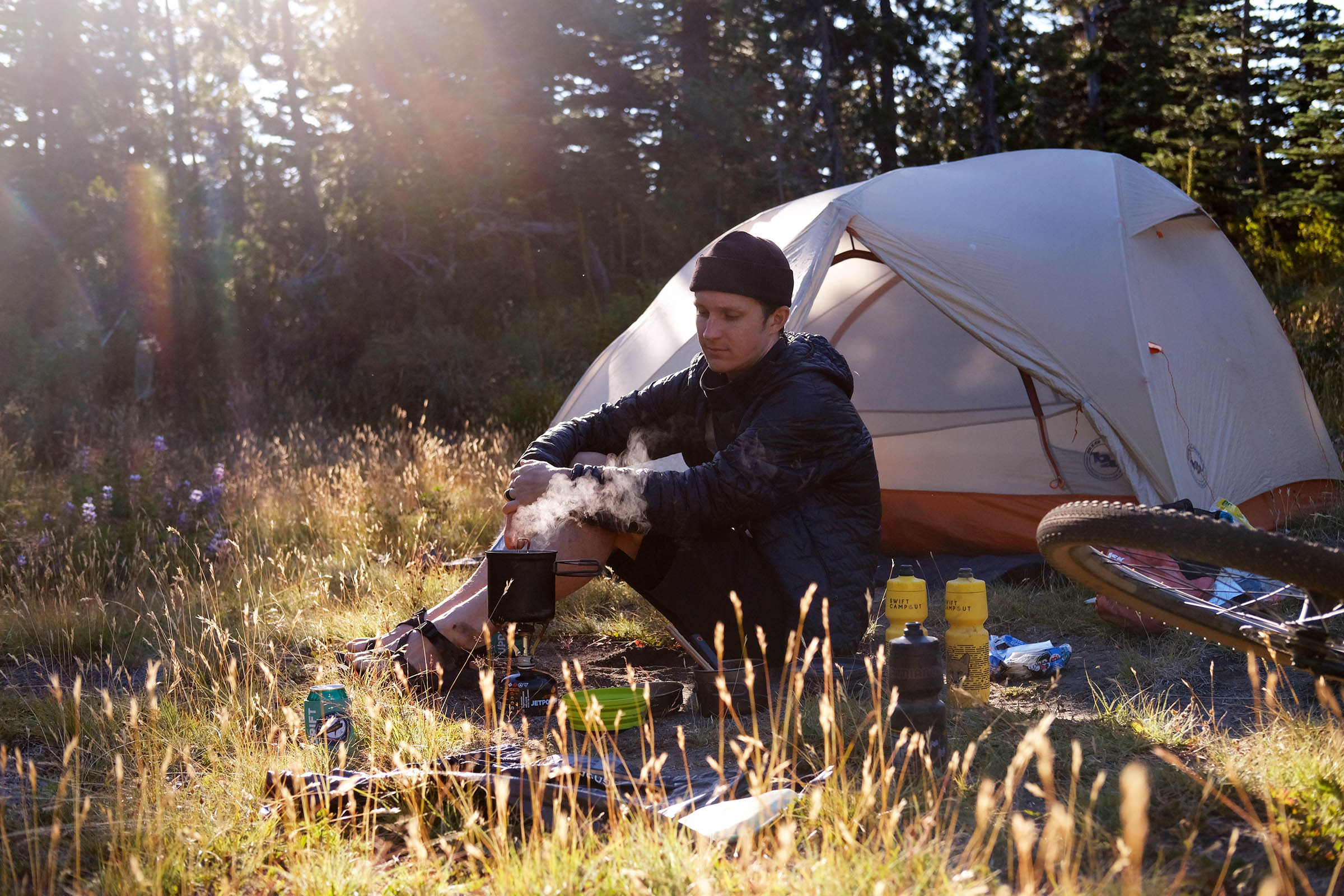
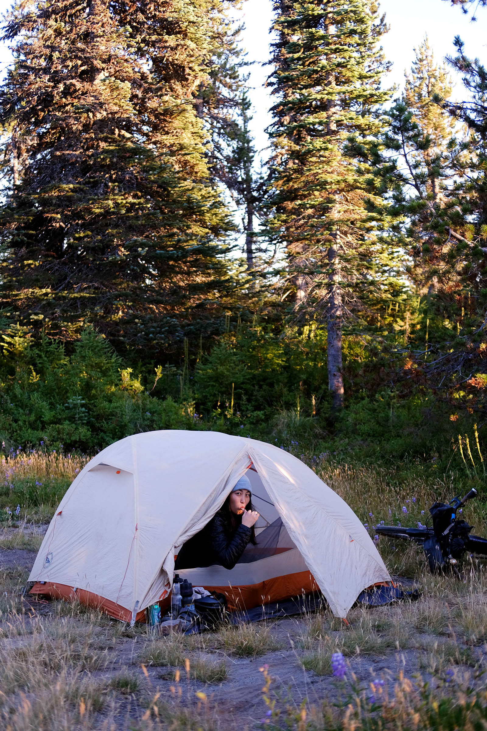
Camping
Food/H2O
Trail Notes
Resources
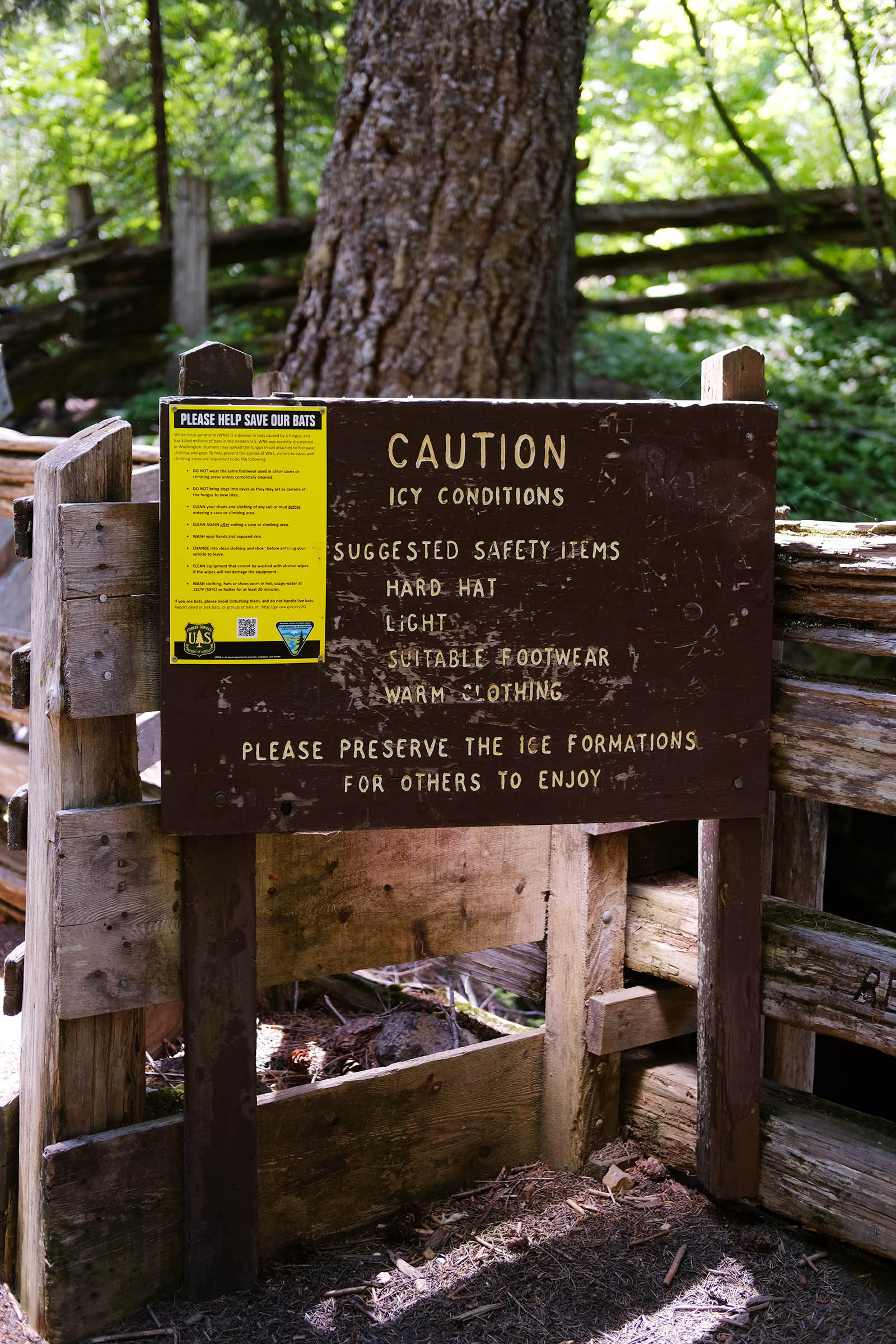
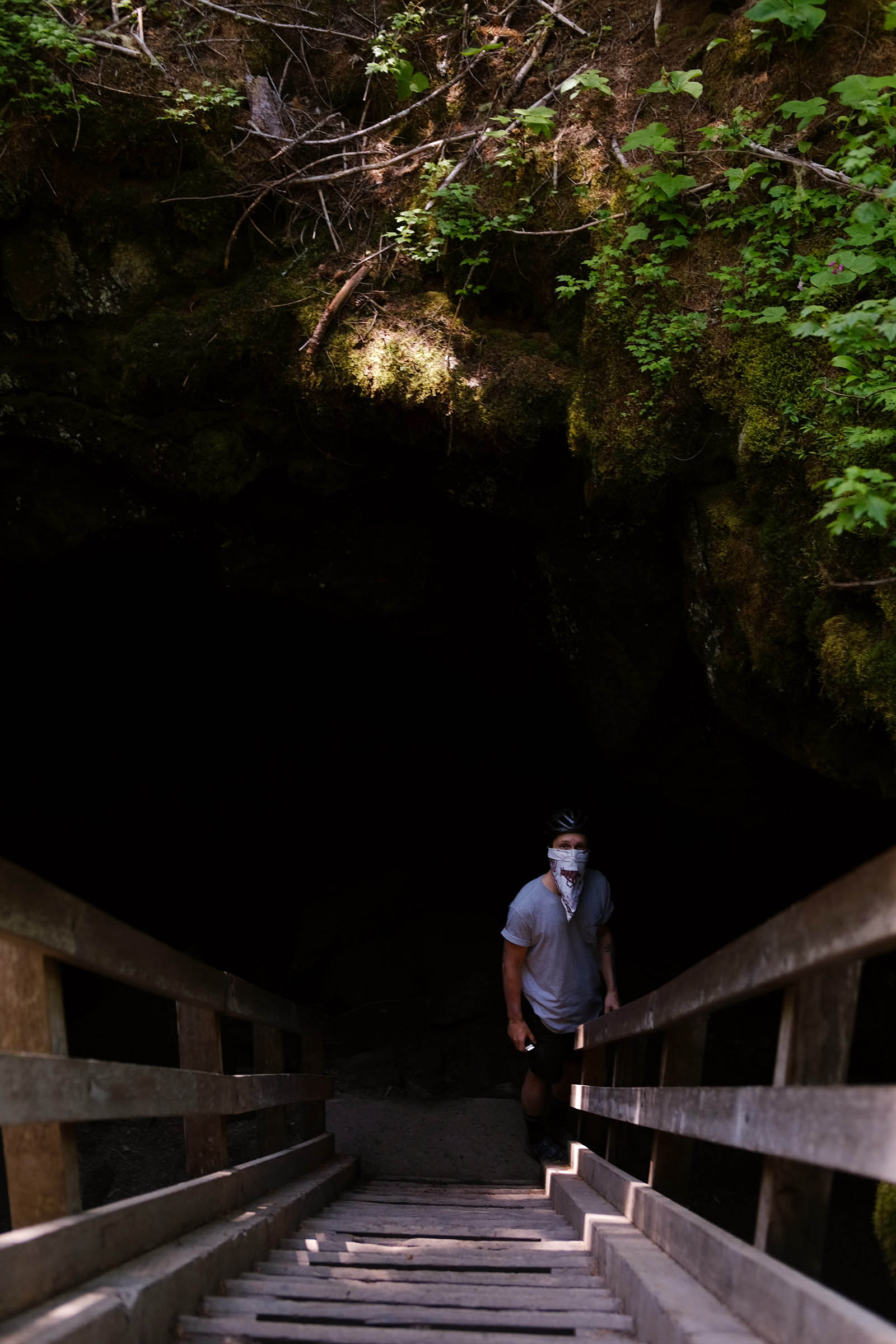
- Ice and lava caves! Guler Ice Cave is a popular 650-foot-long cave that has a beautiful display of ice formations nearly year round. Falls Creek Cave is an isolated lava tube that’s roughly 1.2 miles long.
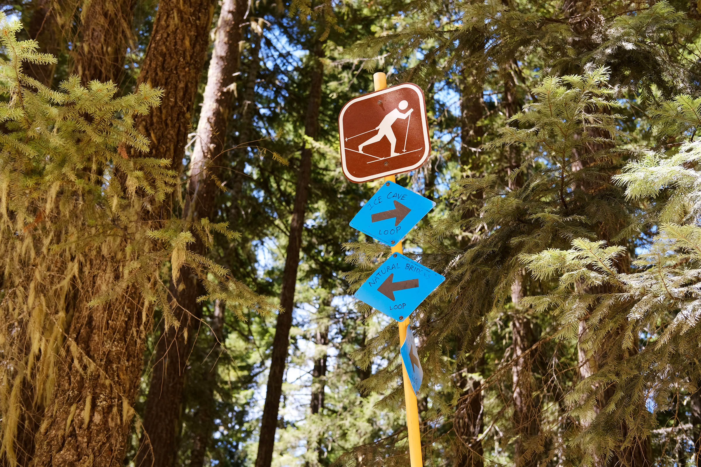
- Natural Bridges is a unique natural attraction featuring a collapsed lava tube that has left behind two natural bridges and several small cave openings.
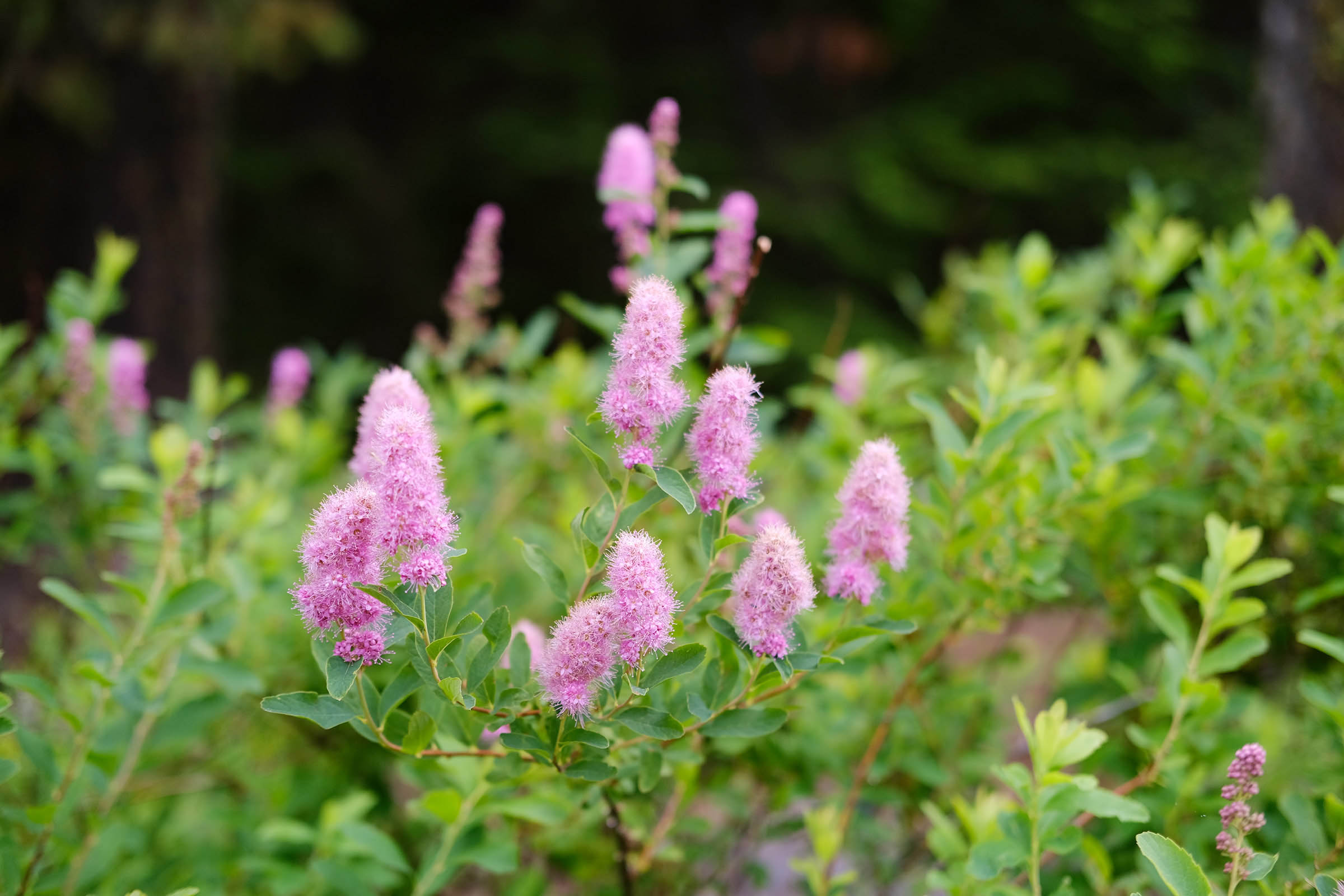
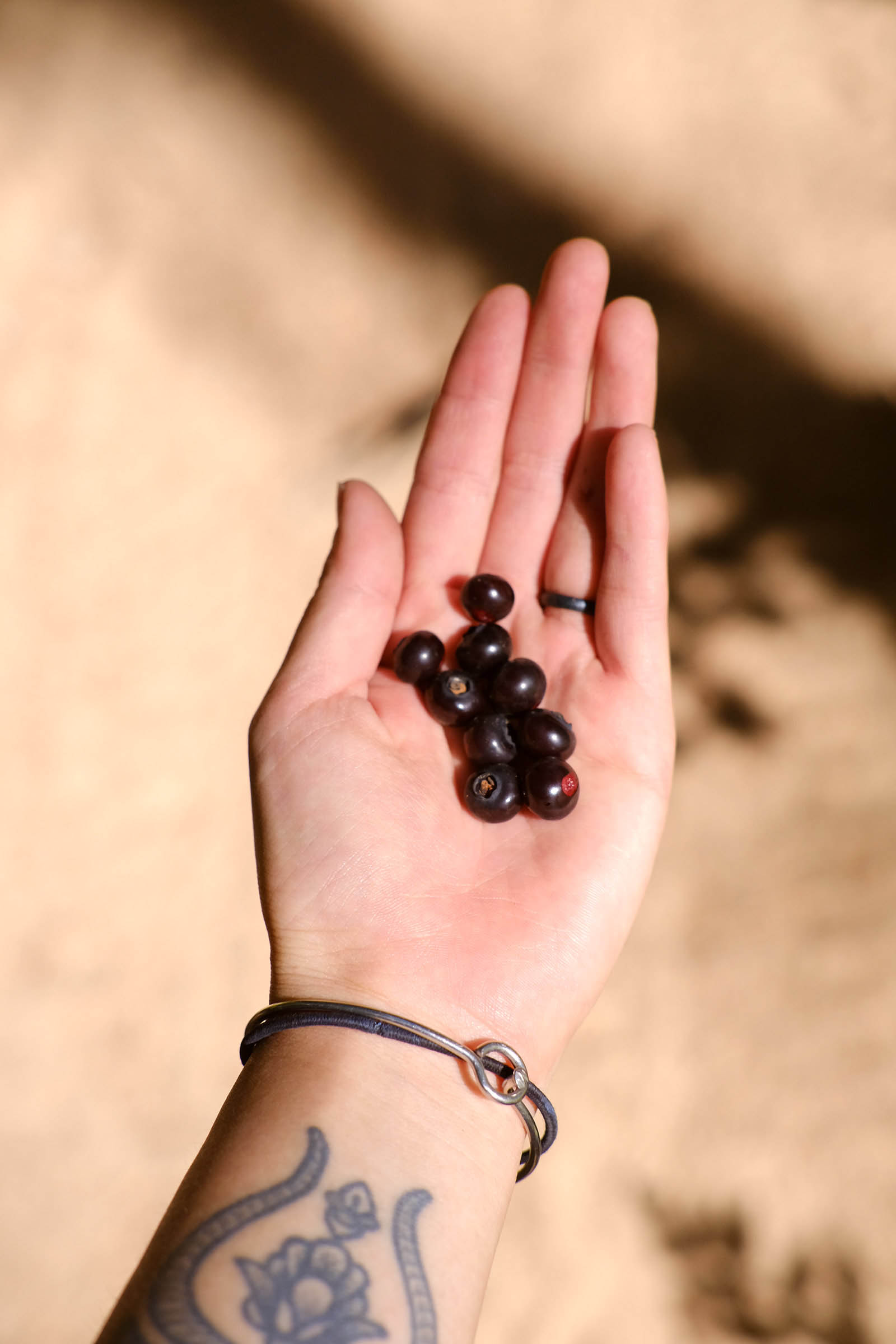
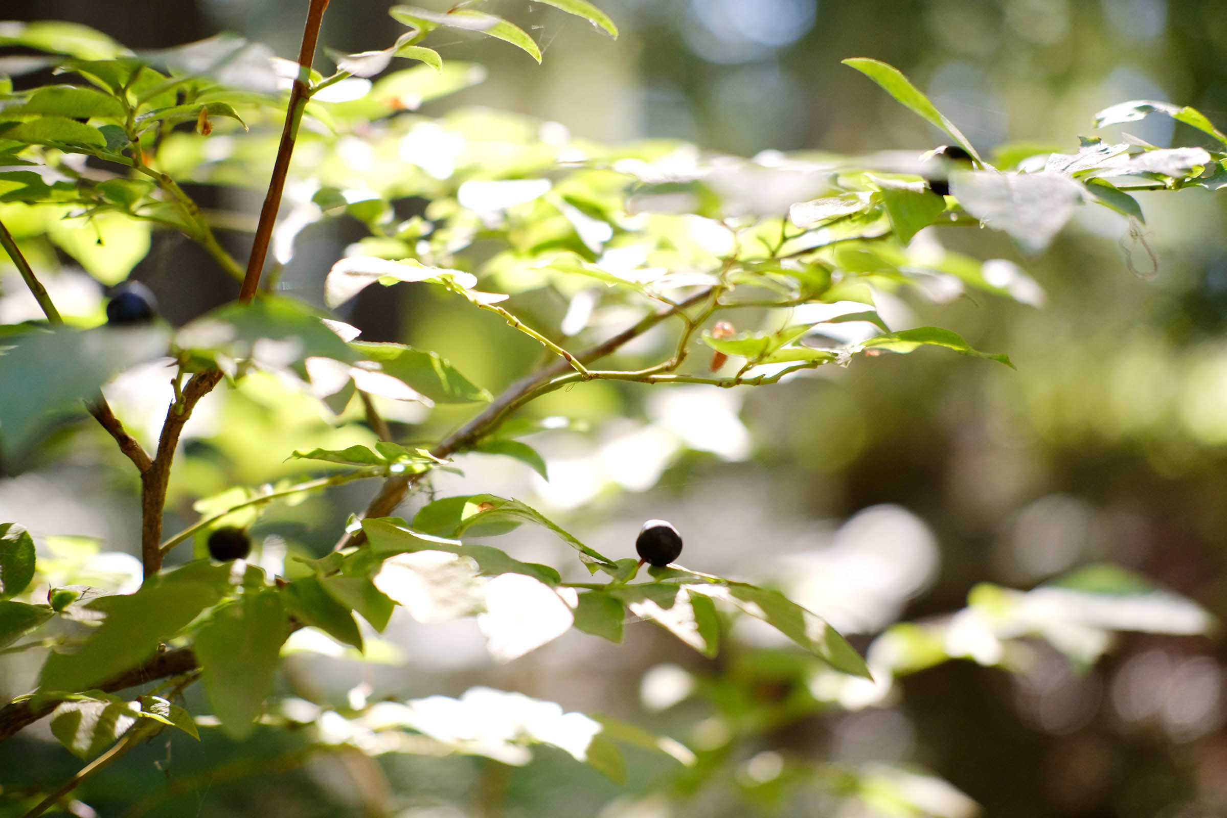
- The Sawtooth Berry Field in the northern part of Indian Heaven Wilderness is world-renowned for its wealth of huckleberries. A rare handshake agreement in 1932 between the Forest Service and the Yakama Tribe reserved the Sawtooth Berry Fields on the northeastern side of the wilderness area for local tribes.
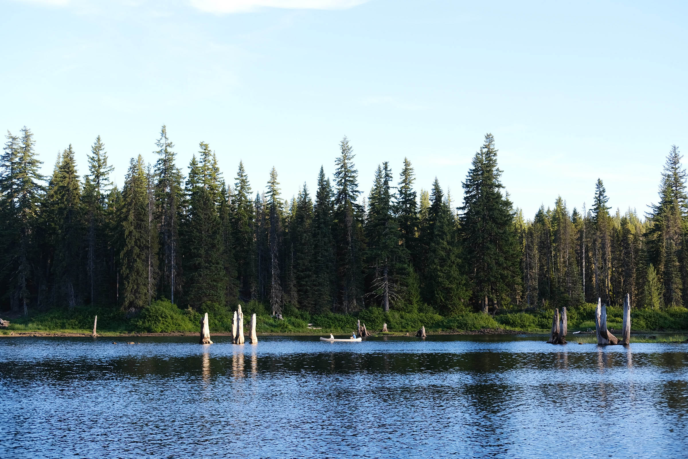
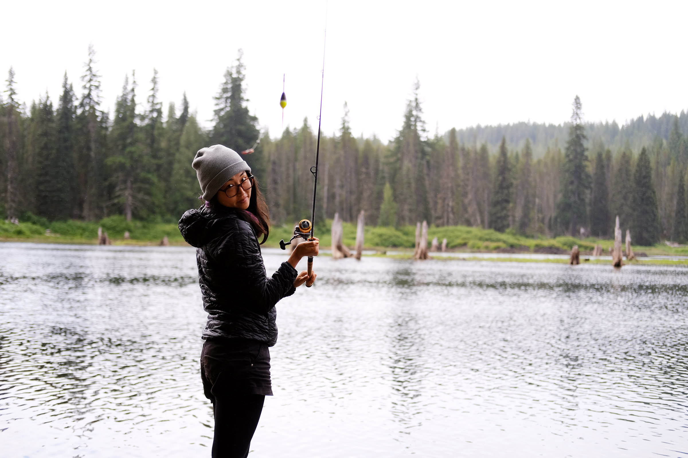
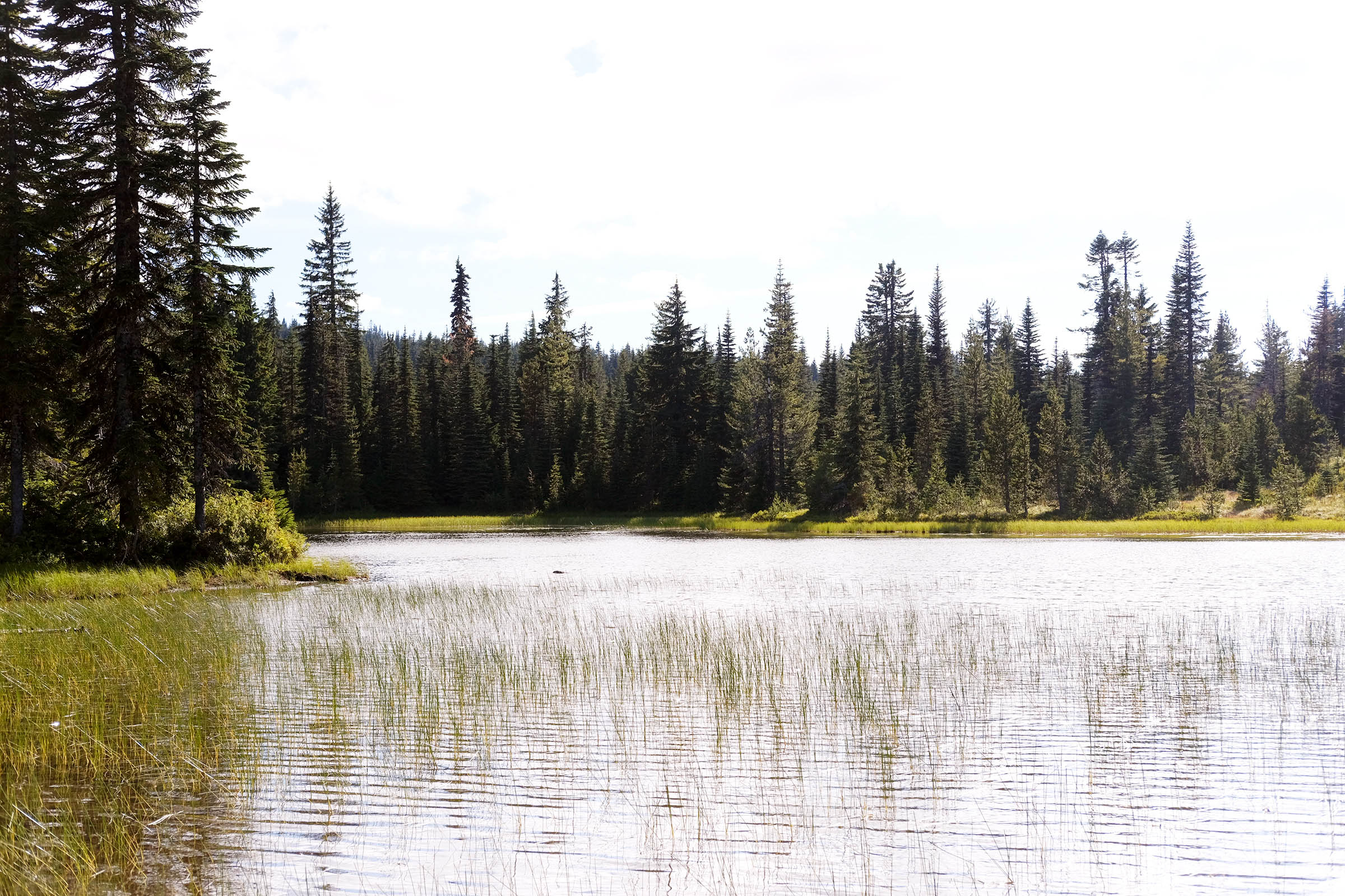
- Several lakes along the route that are perfect for hanging out, fishing, and swimming in the summer.
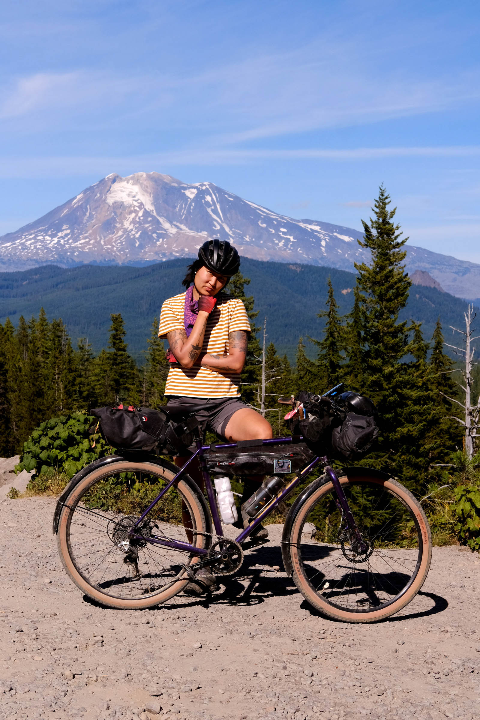
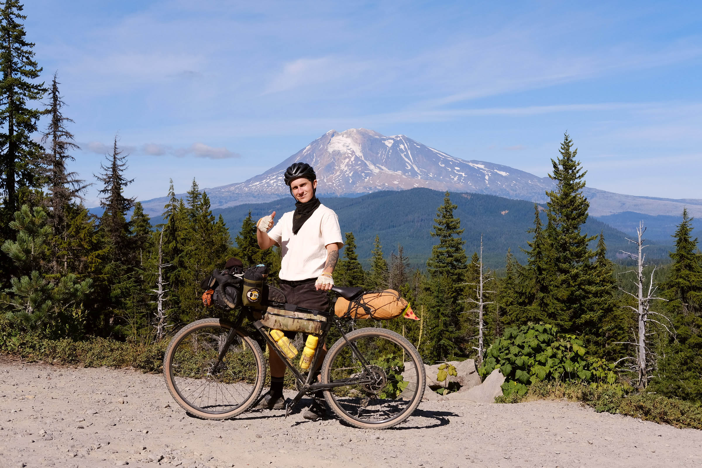
- Mount Adams and Mount St. Helens can be seen many times on the route.
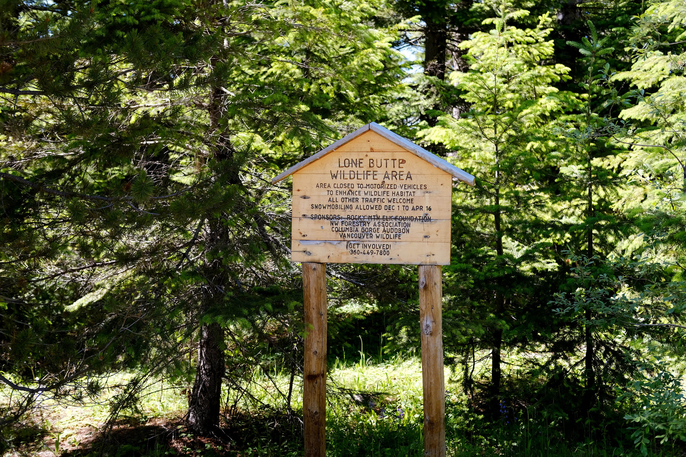
- Starting the route: Overnight parking is available at the Pacific Crest Trailhead for free, or at Goose Lake for $5.
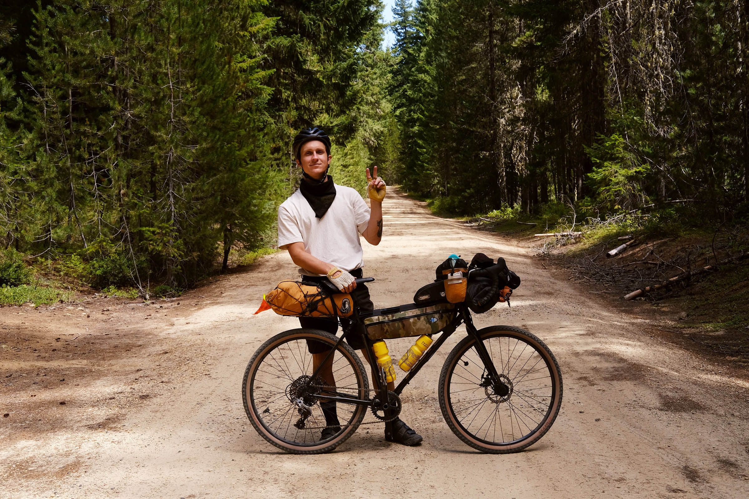
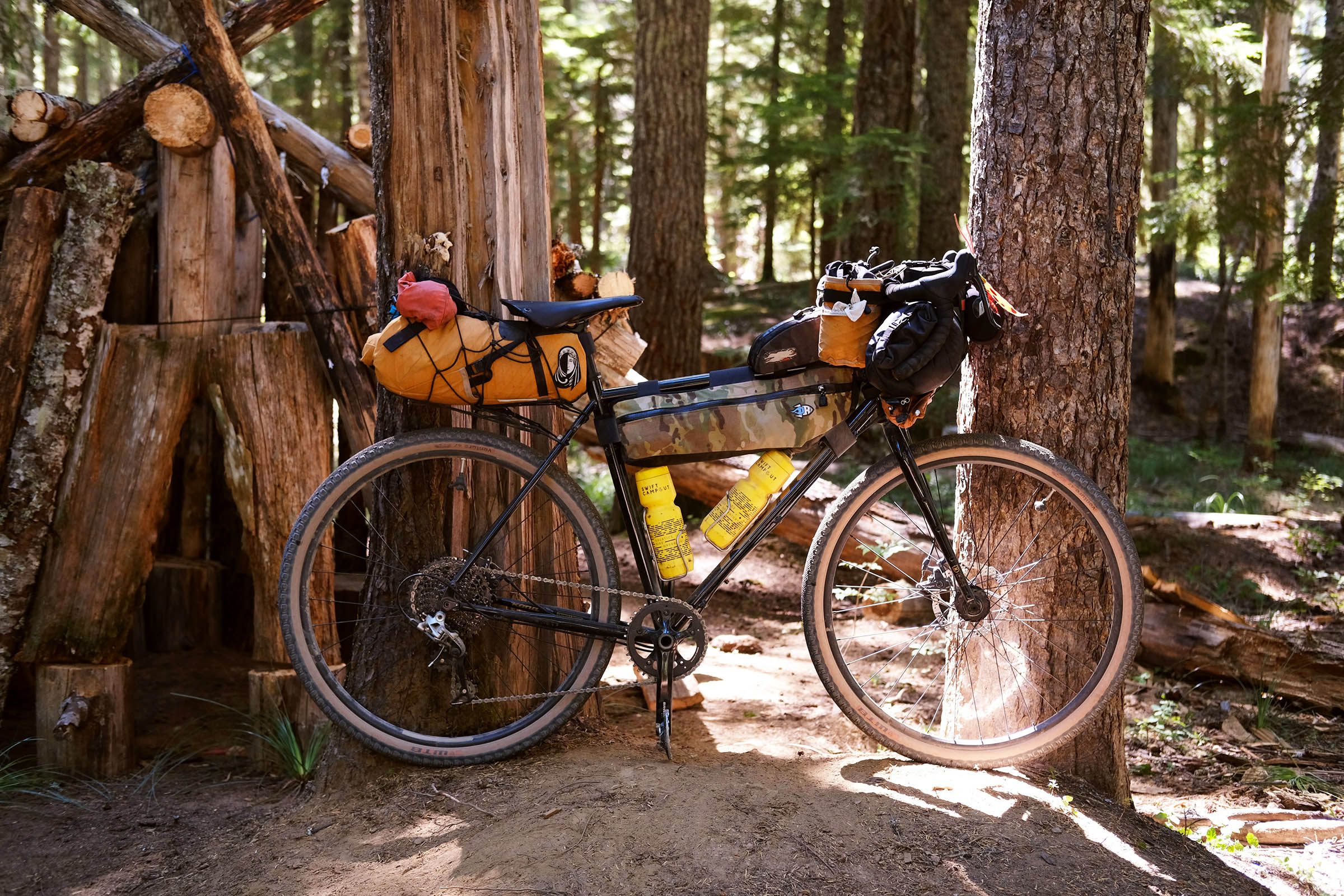
- Ideal bike: Gravel bike with 38mm tires at a minimum. Mountain bikes can also be ridden, depending on your preference for the singletrack sections.
- When to ride: Be cautious during huckleberry picking season (mid-August to early September) when the area is most popular. Late spring, summer, and early fall are the best times to ride to avoid snow.
- Berry picking: Pay attention to signs indicating areas reserved for use by tribal members. Basically, east of the NF-24 Road is reserved for tribal members, and everything west of the road is open to the general public.
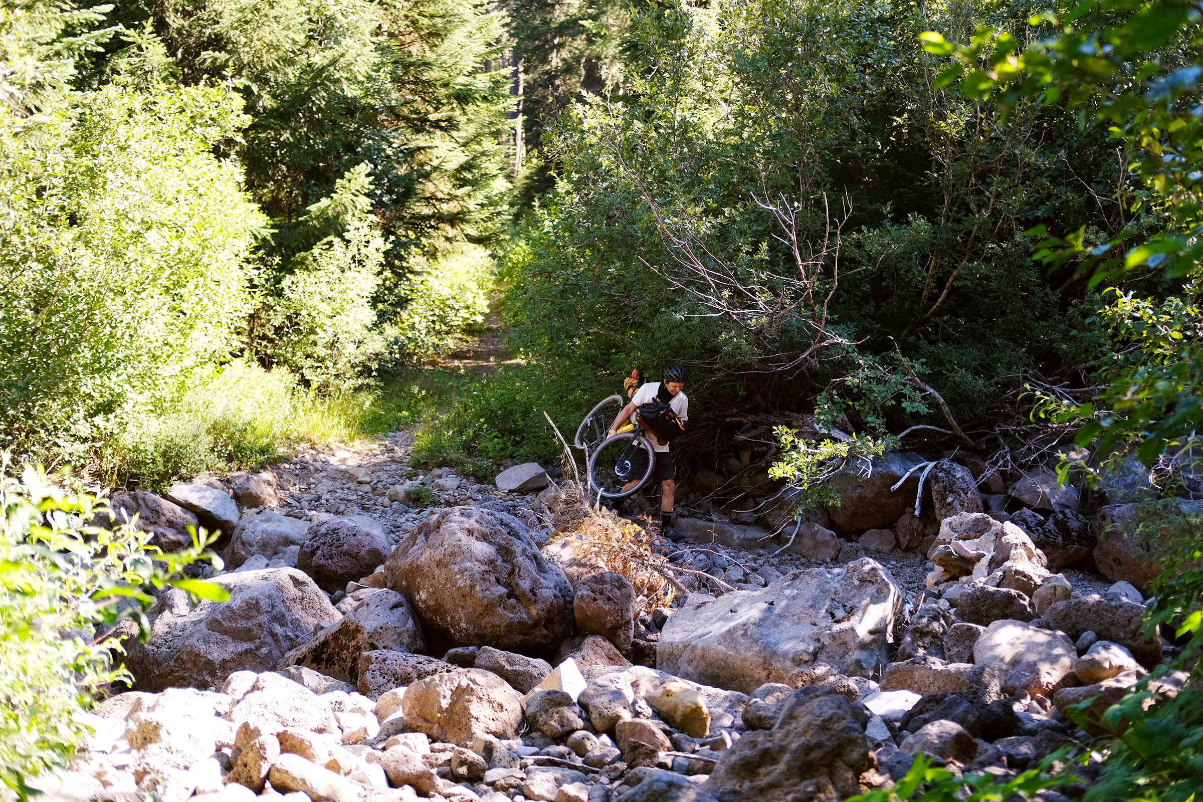
- Creek crossing: At mile 32 there is a creek crossing that is dry during the summer; we’re not sure if it has water during the early spring or fall seasons.
- Mosquitos and bears: Be aware of mosquitos during the summer and especially at the creek crossing at mile 32. Be aware of bear activity, especially during huckleberry season, and use precautions like proper food storage when camping.
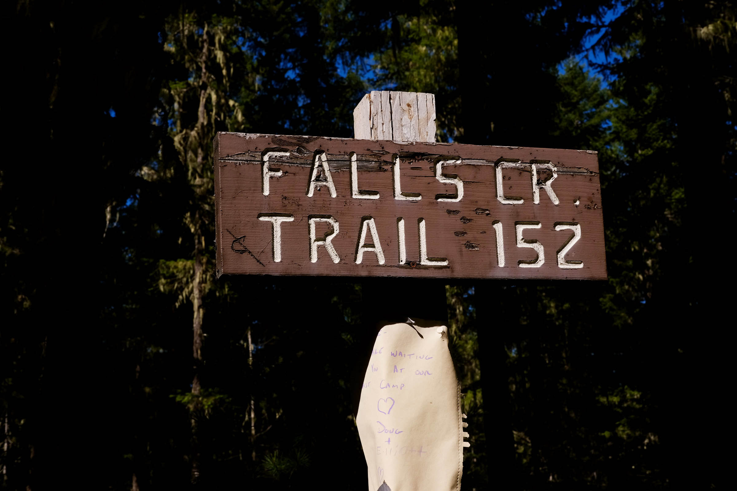
- Singletrack options: There are a few singletrack options like Falls Creek Trail #152 that link to the route for those who want to get rad. Be mindful that some of the service trails are shared with dirt bikes.
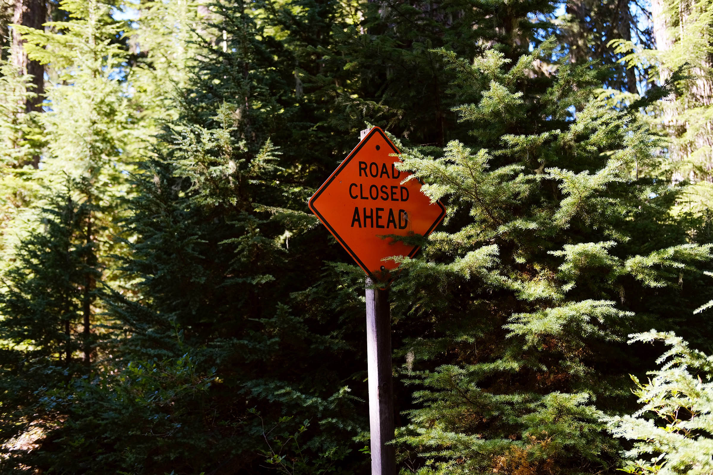
- Trail and snow conditions: Check the snow levels if you’re riding in early spring or late fall. At higher altitudes, this area can see significant snowfall in the winter, combined with shaded areas along the route that can make riding difficult.
- Counterclockwise recommended: This route is more enjoyable riding counterclockwise due to the rocky doubletrack and singletrack options on the west side of the route.
- This route can be easily combined and extended with OMTM’s Falls Creek Hinterland.
- Goose Lake offers 18 first-come-first-served campsites along the lake. $10 overnight, $5 for an extra vehicle.
- Forlorn Lakes offers 25 first-come-first-served campsites scattered around the wooded shores. $10 overnight, $5 for an extra vehicle.
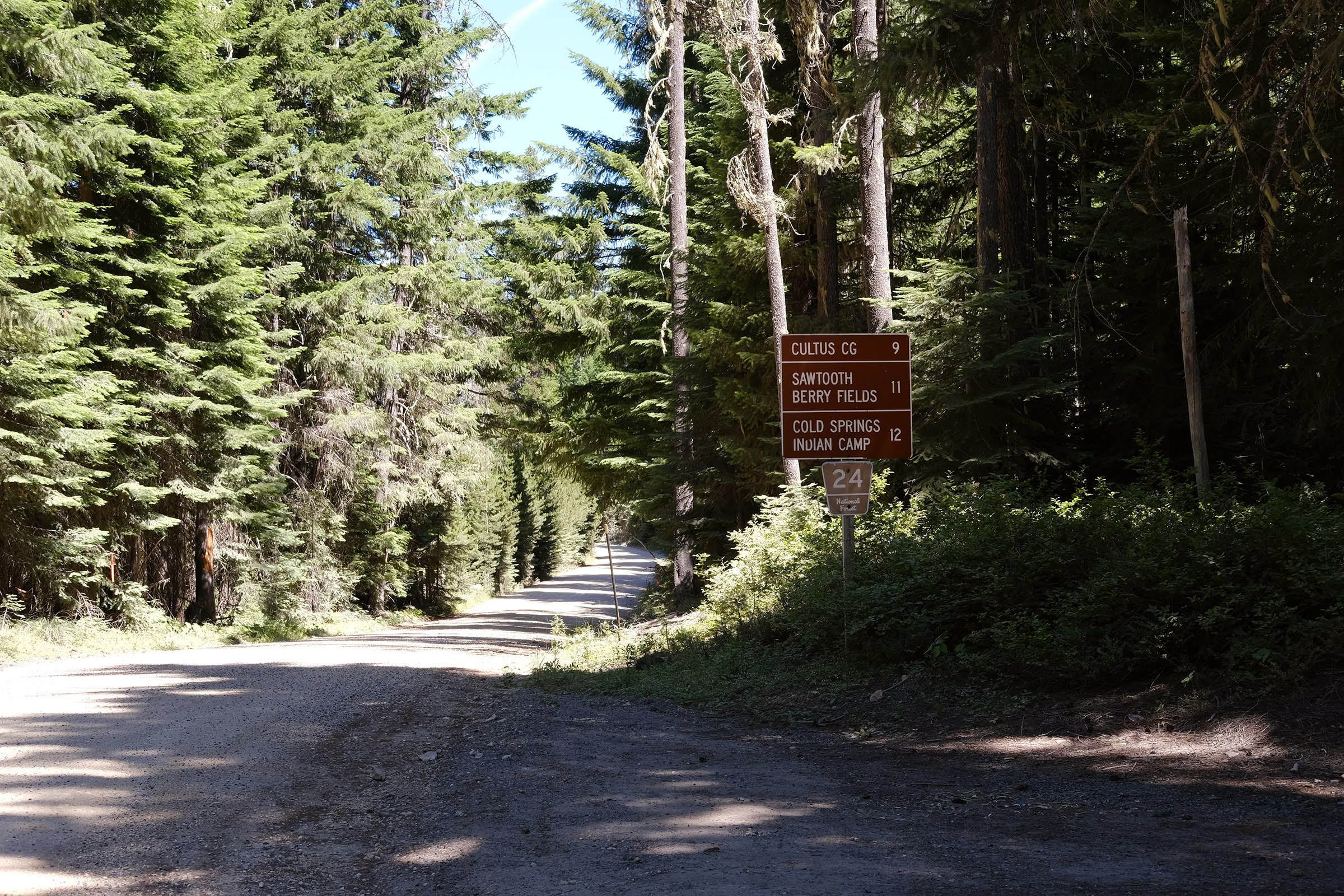
- Cultus Creek Campground offers 39 first-come-first-served campsites. $10 overnight, $5 for an extra vehicle.
- Dispersed camping is available at Cold Spring, Surprise Lake, and along forest road NF-65.
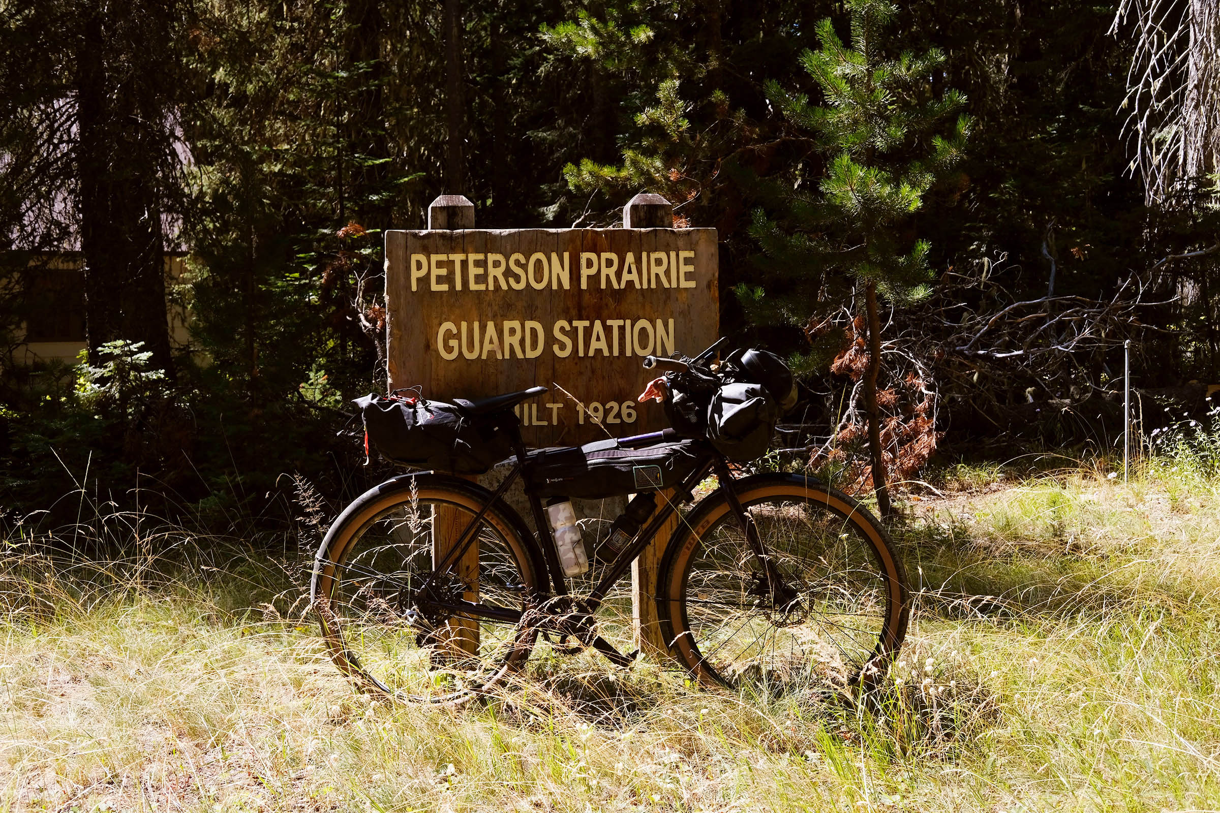
- Potable water is available at Goose Lake and Peterson Prairie during open season, typically late May until late September.
- Filtering water options available at Cold Spring, Surprise Lake, and crossing Falls Creek near mile 38.
- No food resupply available.
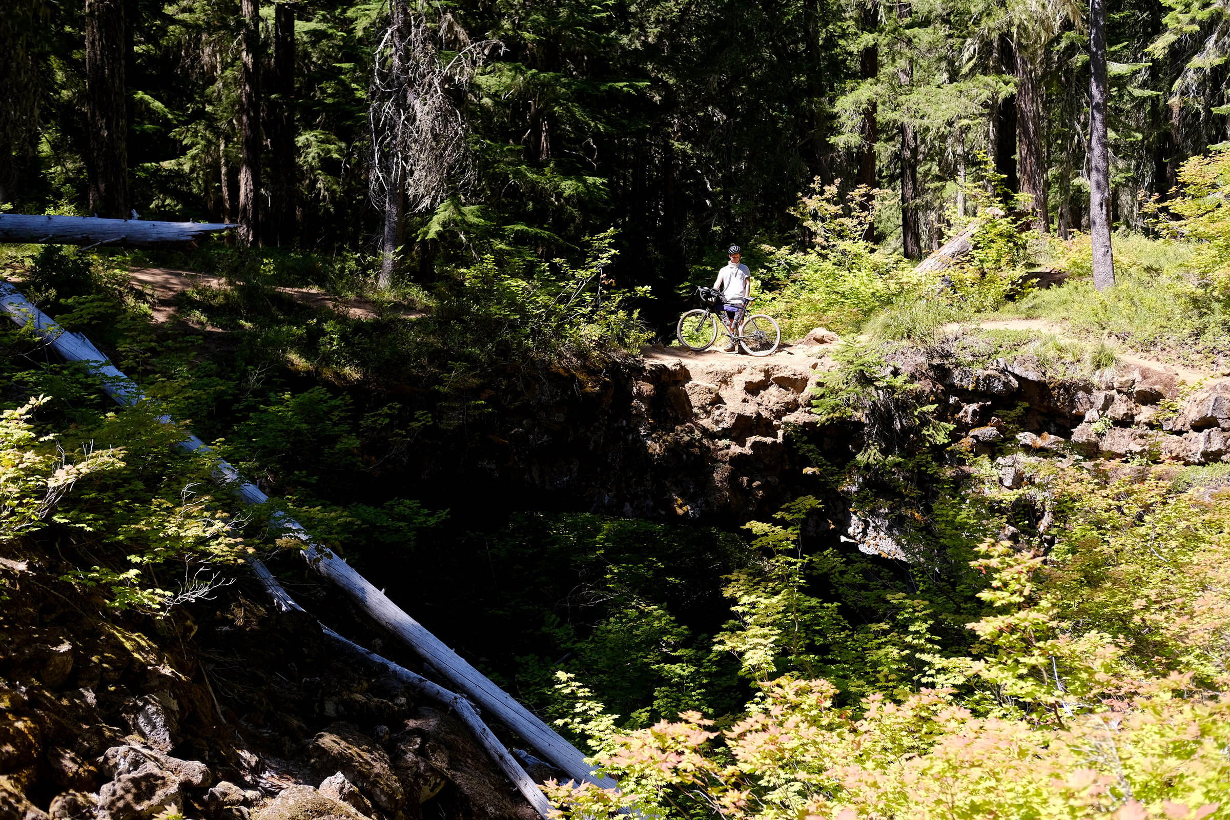
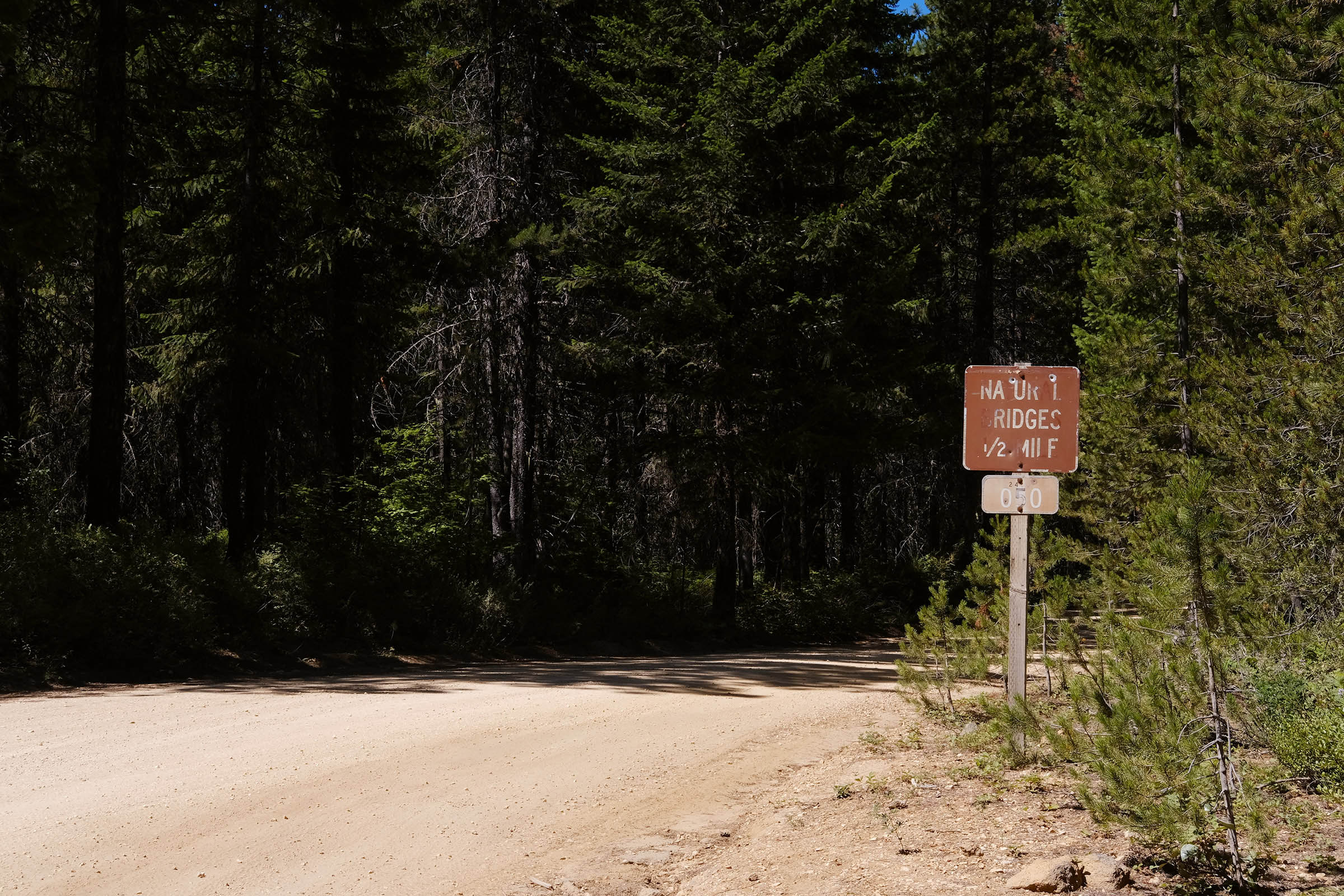
Natural Bridges is a special natural attraction featuring a collapsed lava tube that created two natural bridges and several small cave openings. Over 12,000 years ago, lava flowed in this area and carved out a tunnel, much like many other caves in this area. However, this particular tunnel collapsed and left behind two “bridges.”
As soon as you leave Natural Bridges, a hidden dirt road links to Guler Ice Caves, which are unique because they harbor ice formations nearly year-round. Leaving the cave, you follow a paved road for about a mile and a half until you reach Peterson Prairie Guard Station. Turn onto NF-24, where you gradually climb to the Sawtooth Berry Fields, which is the route’s highest section. There will be signs indicating areas reserved for use by tribal members as part of the 1932 handshake agreement. East of the NF-24 road, berries are reserved for tribal members, and everything west of the road is open to the general public.
While on NF-24, there are plenty of camping options available at Cultus Creek, Cold Spring, and Surprise Lakes. You can see breathtaking views of Mount Adams and Mount St. Helen’s towering behind the lakes on a clear day.
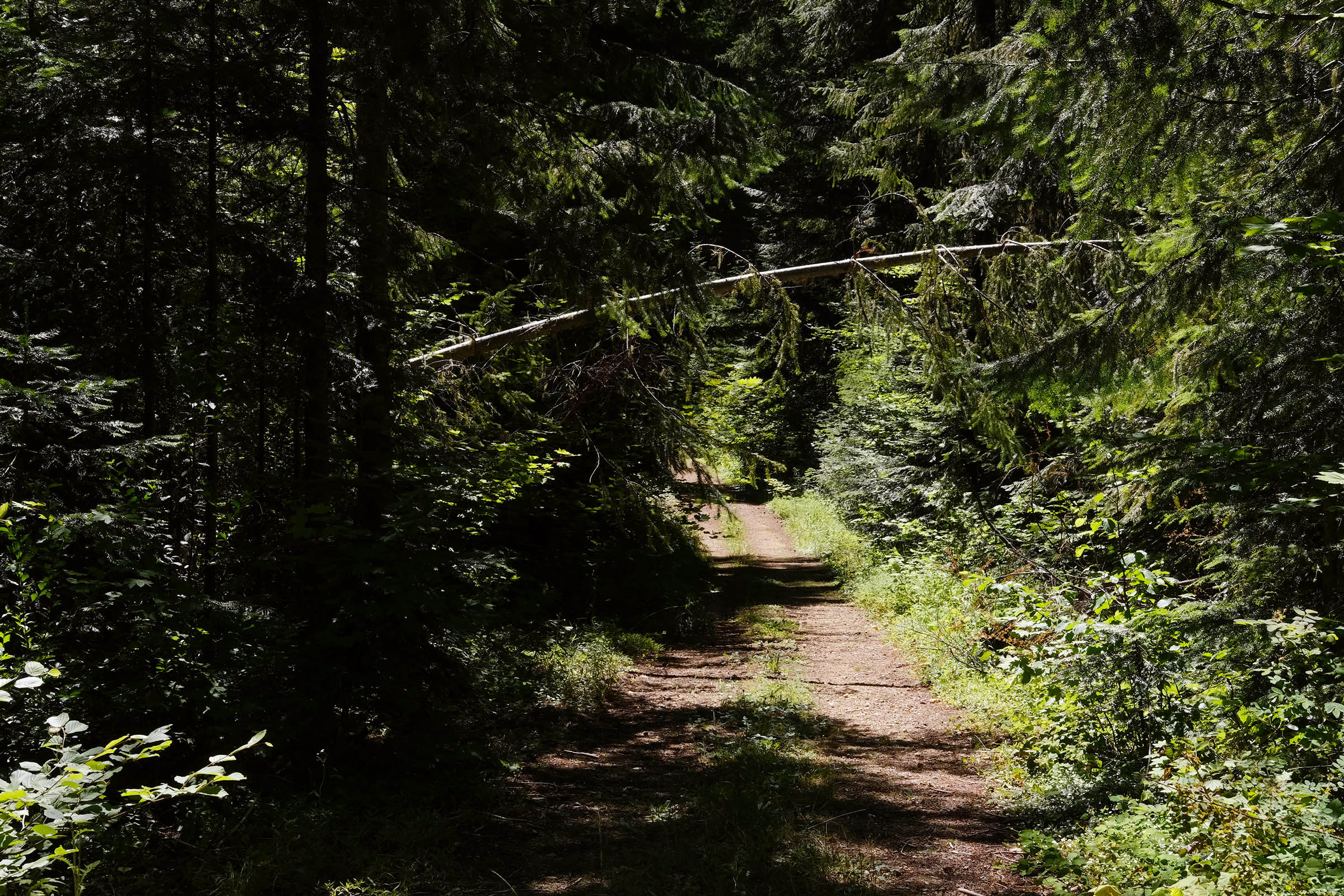
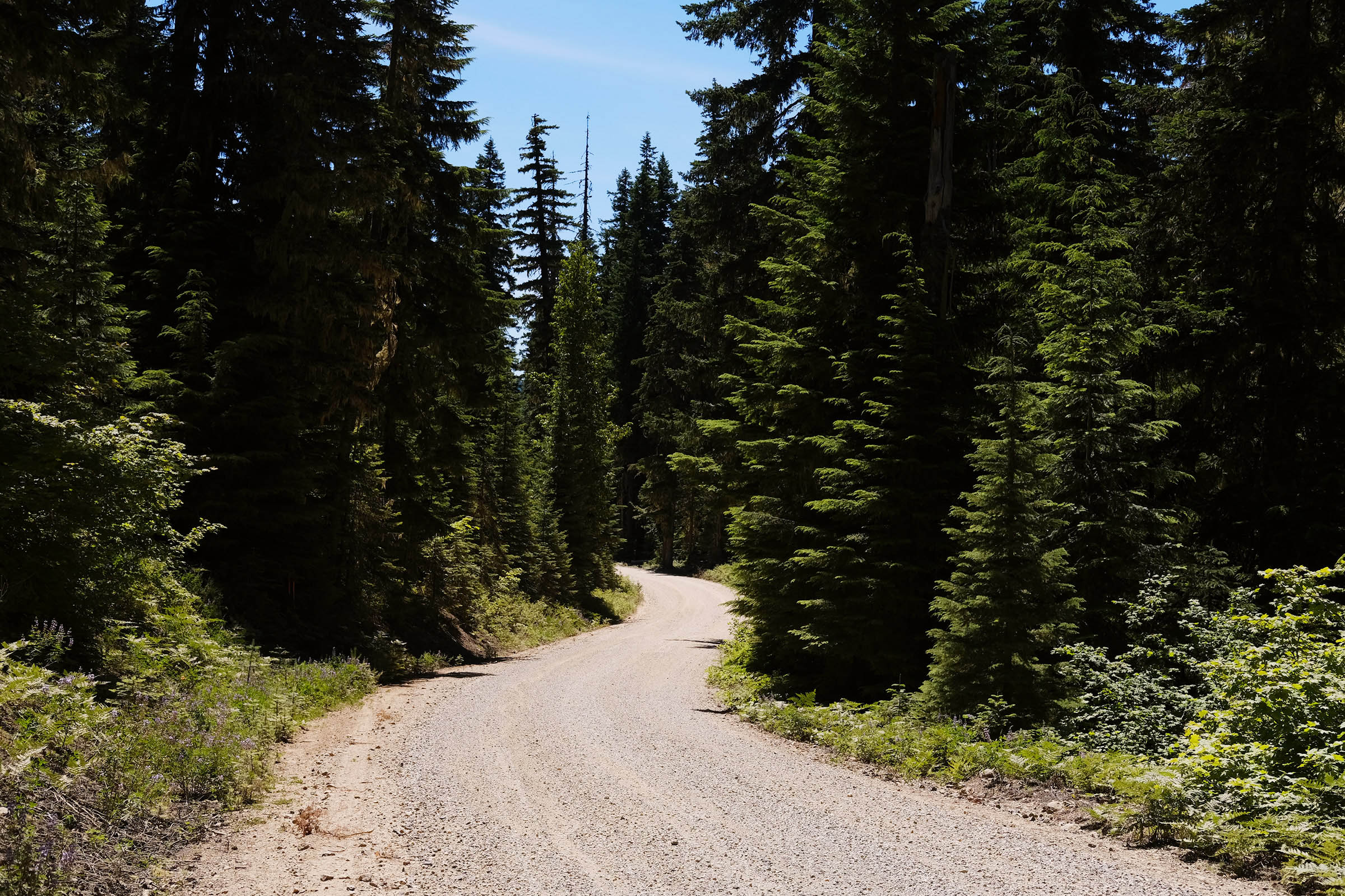
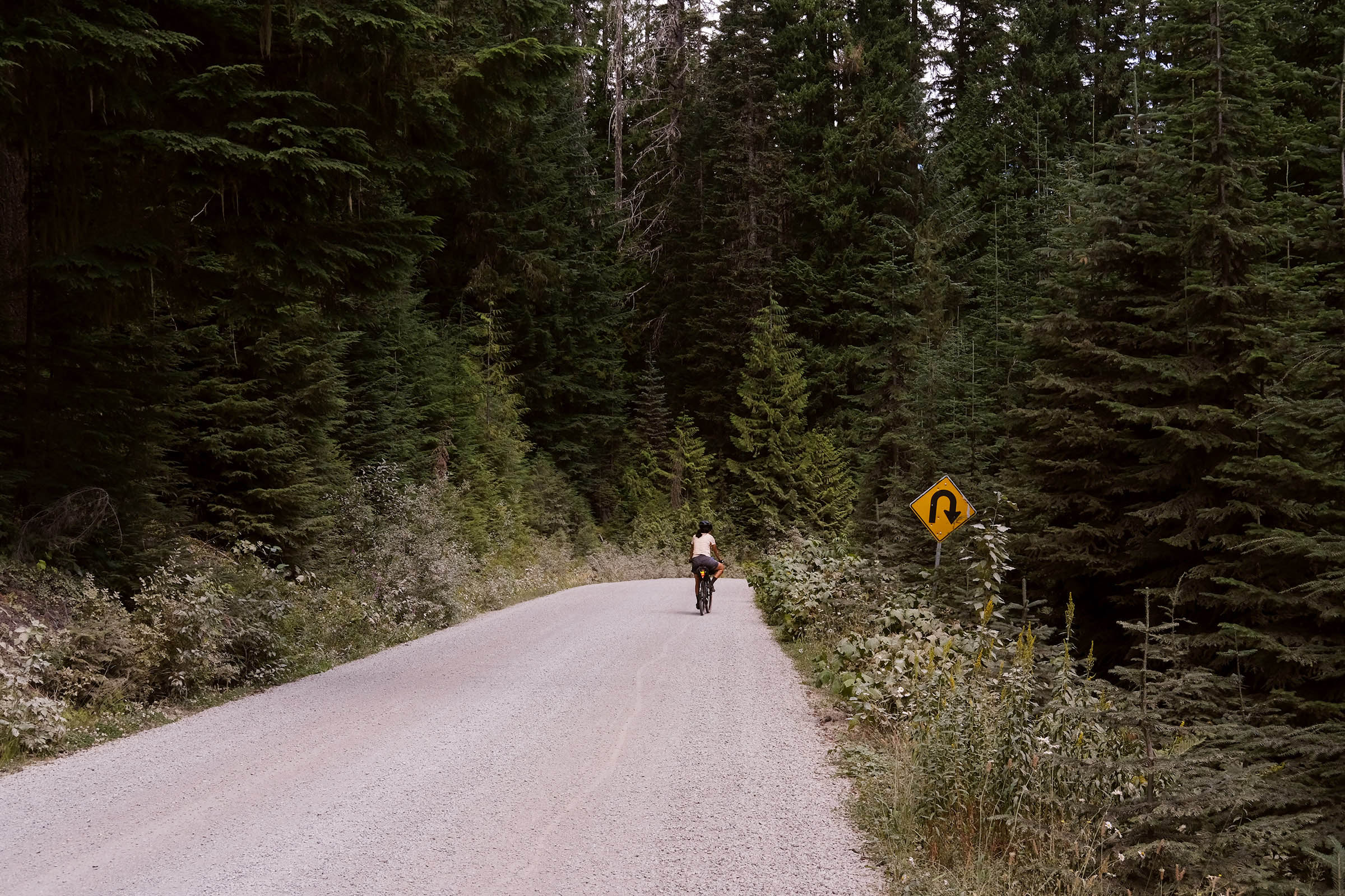
The route continues around Indian Heaven Wilderness, where smooth pavement on NF-30 allows for a quick and fun descent. Afterward, you turn onto the secluded NF-65 gravel that leads to a dry creek crossing. This creek may be impassable during the early spring, winter, and fall seasons. Once you cross the stream, NF-65 changes to dirt doubletrack terrain that leads to Falls Creek. Falls Creek Trail #152 is a singletrack option for those who want to get rowdy, but the gravel descent is just as (if even more) fun on a loaded bike. Lastly, there’s a punchy climb back to the Pacific Crest Trailhead or Goose Lake, depending on where you started the route.
Additional Resources


Terms of Use: As with each bikepacking route guide published on BIKEPACKING.com, should you choose to cycle this route, do so at your own risk. Prior to setting out check current local weather, conditions, and land/road closures. While riding, obey all public and private land use restrictions and rules, carry proper safety and navigational equipment, and of course, follow the #leavenotrace guidelines. The information found herein is simply a planning resource to be used as a point of inspiration in conjunction with your own due-diligence. In spite of the fact that this route, associated GPS track (GPX and maps), and all route guidelines were prepared under diligent research by the specified contributor and/or contributors, the accuracy of such and judgement of the author is not guaranteed. BIKEPACKING.com LLC, its partners, associates, and contributors are in no way liable for personal injury, damage to personal property, or any other such situation that might happen to individual riders cycling or following this route.
Please keep the conversation civil, constructive, and inclusive, or your comment will be removed.