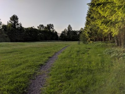
Cougar Mountain: Sky Country Trailhead
Hike in the Snoqualmie foothills near Issaquah through mixed forests among glacial erratic boulders, ferns, moss and some local history. There are many options for loop and out-and-back hikes of varying distance, elevation gain, and difficulty from this trailhead in Cougar Mountain Regional Wildland Park.
getting there
Take Exit 13 of of I-90 onto Lakemont Blvd SE. After crossing "The Pass," turn left onto SE Cougar Mountain Way, drive for ~0.5 mile, and turn right onto 166th Way SE. Continue ~0.75 mile to the Sky Country Trailhead (1,188 ft).
ON THE TRAIL
The many interconnected trails in the Cougar Mountain area provide many out-and-back and loop day hikes of varying mileage, elevation gain, and difficulty. Choose your own adventure!
- Suitable Activities: Day Hiking, Trail Running
- Seasons: Year-round
- Weather: View weather forecast
- Difficulty: *Varies*
- Land Manager: Cougar Mountain Regional Wildland Park
- Parking Permit Required: None
- Recommended Party Size: 12
- Maximum Party Size: 12
- Maximum Route/Place Capacity: 12
- Green Trails Cougar Mtn No. 203S
- see Land Manager
This is a list of titles that represent the variations of trips you can take at this route/place. This includes side trips, extensions and peak combinations. Not seeing a title that fits your trip? Log in and send us updates, images, or resources.
- Anti-Aircraft Peak
- Anti-Aircraft Peak—Clay Pit Peak Loop
- Cougar Mountain Loop
- De Leo Wall
- Doughty Falls
- Far Country Falls
- Long View Peak
- Million Dollar View
- Sky Country-Cave Hole Loop
- Sky Country Loop
- Sky Country Trail
There are no resources for this route/place. Log in and send us updates, images, or resources.
